Lambfoot Dub
Lake, Pool, Pond, Freshwater Marsh in Cumberland Copeland
England
Lambfoot Dub
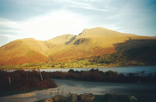
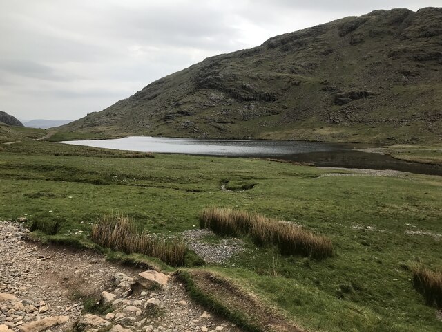
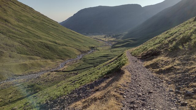
Located in the picturesque region of Cumberland, Lambfoot Dub is a serene and enchanting freshwater ecosystem that encompasses a lake, pool, pond, and freshwater marsh. Nestled amidst lush greenery and rolling hills, this natural wonder showcases the breathtaking beauty of the English countryside.
Spanning an area of approximately 5 acres, Lambfoot Dub is a haven for diverse flora and fauna. The lake, with its crystal-clear waters, serves as a focal point for the entire ecosystem. It provides a habitat for a wide range of aquatic species, including fish such as trout and perch, as well as various amphibians and invertebrates.
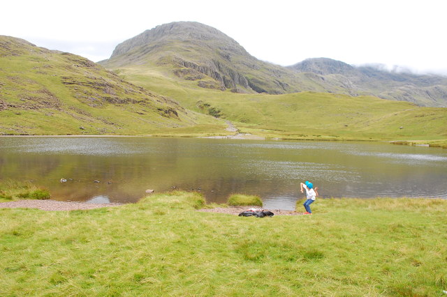
Adjacent to the lake, a tranquil pool can be found. Smaller in size but no less remarkable, this pool harbors several aquatic plants and is a popular spot for waterfowl such as ducks and swans. Visitors can often witness these graceful creatures gliding across the pool's calm surface.
Further along, a small pond adds to the charm of Lambfoot Dub. This pond, surrounded by reeds and water lilies, is a haven for dragonflies and other insects. It provides a vital watering hole for local wildlife, attracting birds and mammals alike.
Lastly, the freshwater marsh completes the diverse ecosystem of Lambfoot Dub. It is a wetland area characterized by its saturated soil and abundance of plants such as cattails and sedges. The marsh is teeming with life, offering a sanctuary for numerous bird species, including herons, egrets, and warblers.
Lambfoot Dub's unique combination of a lake, pool, pond, and freshwater marsh creates a rich and dynamic environment. Whether you are an avid nature enthusiast or simply seeking a peaceful retreat, this enchanting location is sure to captivate all who visit.
If you have any feedback on the listing, please let us know in the comments section below.
Lambfoot Dub Images
Images are sourced within 2km of 54.465284/-3.2037135 or Grid Reference NY2208. Thanks to Geograph Open Source API. All images are credited.


Lambfoot Dub is located at Grid Ref: NY2208 (Lat: 54.465284, Lng: -3.2037135)
Administrative County: Cumbria
District: Copeland
Police Authority: Cumbria
What 3 Words
///parade.storms.roadblock. Near Keswick, Cumbria
Nearby Locations
Related Wikis

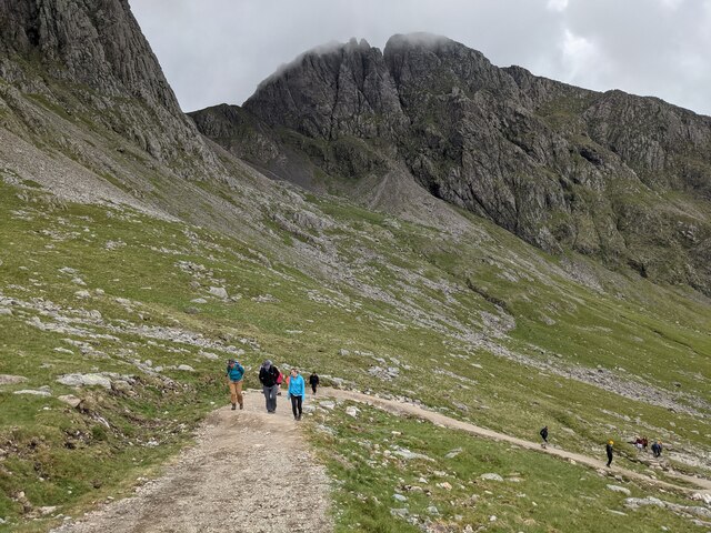
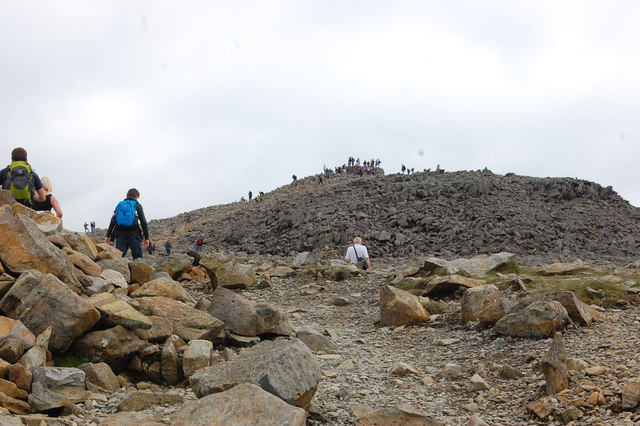
Great End
Great End is the most northerly mountain in the Scafell chain, in the English Lake District. From the south it is simply a lump continuing this chain....
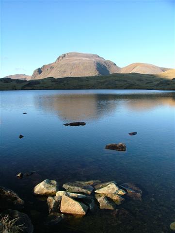
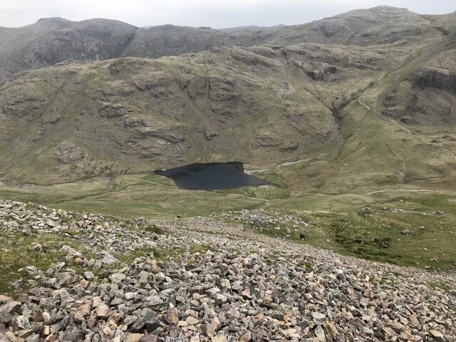
Sprinkling Tarn
Sprinkling Tarn is a body of water at the foot of Great End, in the Southern Fells in Lake District, 3 kilometres (1.9 mi) from Seathwaite, Cumbria, England...

Broad Crag
Broad Crag is a fell in the English Lake District. It is the fifth-highest peak in England at a height of 3,064 feet (934 metres). The mountain was gifted...

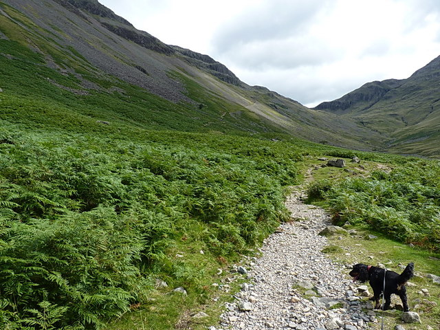
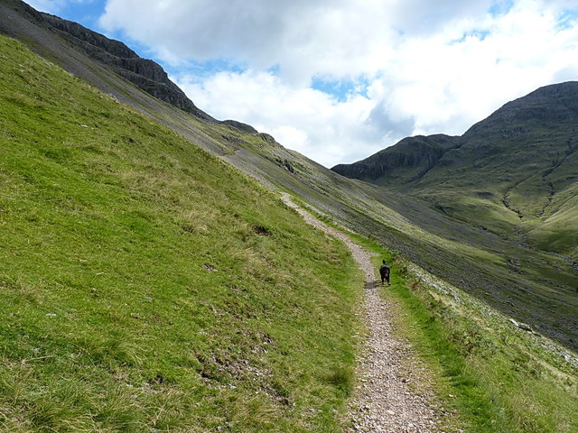
Sty Head
Sty Head is a mountain pass in the English Lake District, in the county of Cumbria. It is at an altitude of 1,600 feet (488 m) and there is a small tarn...
Related Videos

Hiking the Bob Graham Round - Day 1
The Bob Graham Round is a circular route that starts and finishes in Keswick, Cumbria, UK - with 8160m of ascent over 99km and ...

Dangerous? Scafell Pike from Wasdale via Mickledore Wainwright Guided Walk Lake District 4K
The walk up Scafell Pike via Mickledore is an alternative route up Scafell Pike from Wasdale, sharing the initial climb with the ...

A Simple Guide to Scafell Pike | Hiking, Camping, Itinerary | Filipino UK Travel
A Simple Guide to Scafell Pike | Hiking, Camping, Itinerary | Filipino UK Travel Hello and welcome to Life Adventure Philippines!

Hiking & Wild Camping on Scafell Pike
Hiking & Wild Camping on Scafell Pike. In May 2023 I visited the Lake District to hike to the top of England's highest mountain, ...
Nearby Amenities
Located within 500m of 54.465284,-3.2037135Have you been to Lambfoot Dub?
Leave your review of Lambfoot Dub below (or comments, questions and feedback).