Pen-y-gwely Reservoir

Lake, Pool, Pond, Freshwater Marsh in Denbighshire

Wales

Pen-y-gwely Reservoir

Ordnance Survey Cut Mark This OS cut mark can be found on the stone wall SW side of the road. It marks a point 410.920m above mean sea level.
Ordnance Survey Cut Mark Credit: Adrian Dust

Pen-y-gwely Reservoir is a freshwater lake situated in Denbighshire, Wales. This man-made reservoir covers an area of approximately 18 hectares and is located near the village of Llandyrnog. It was created in the early 20th century to meet the increasing demand for water supply in the surrounding areas.

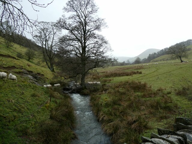
The reservoir is surrounded by picturesque rolling hills and offers a tranquil and scenic environment for visitors. The water in Pen-y-gwely Reservoir is sourced from the River Clwyd, which flows into the lake, ensuring a constant supply of freshwater.

The lake is a popular spot for fishing enthusiasts, as it is well-stocked with a variety of fish species including rainbow trout and brown trout. Anglers can enjoy a peaceful day on the water, casting their lines and hoping for a catch.

In addition to fishing, Pen-y-gwely Reservoir provides opportunities for other recreational activities such as boating and birdwatching. The calm waters are perfect for boating enthusiasts who can explore the lake at their leisure. Birdwatchers can spot a range of waterbirds and wading birds in and around the reservoir, making it a haven for birdwatching enthusiasts.

Overall, Pen-y-gwely Reservoir offers a picturesque and serene setting for outdoor activities and is a valuable water source for the local community. It attracts nature lovers, anglers, and boating enthusiasts, providing them with a peaceful haven amidst the beautiful Welsh countryside.

If you have any feedback on the listing, please let us know in the comments section below.

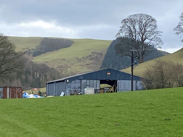
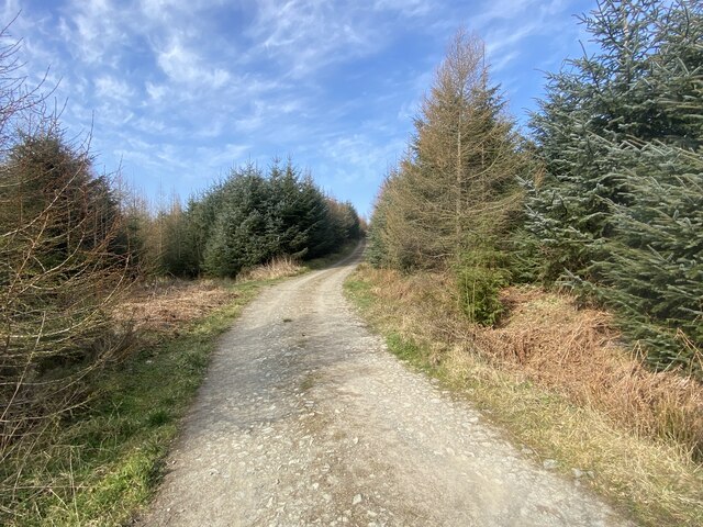
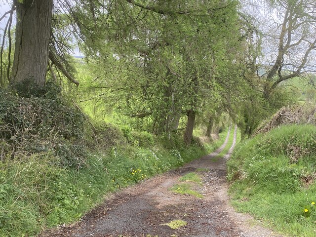
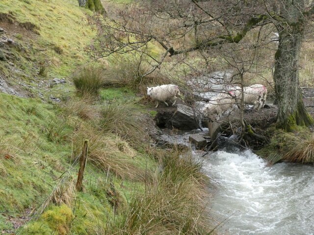
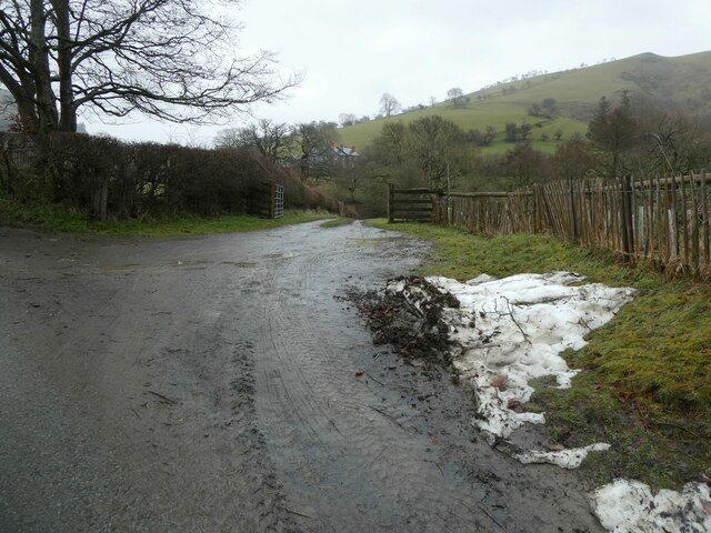
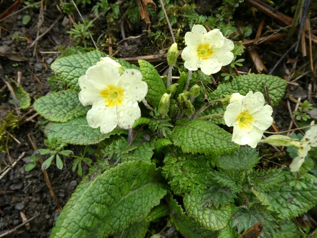
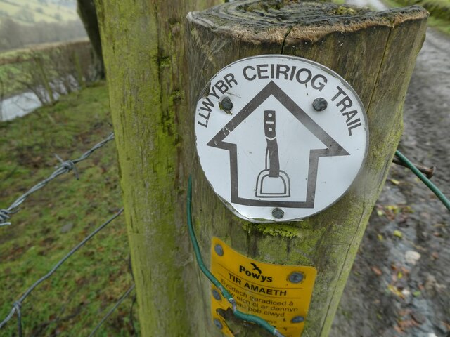
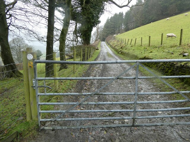
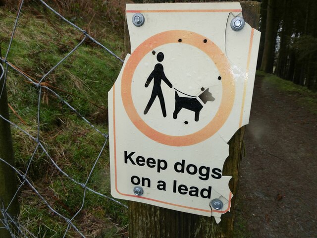
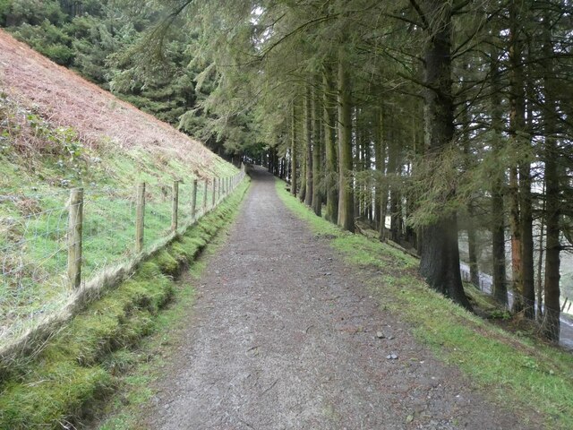
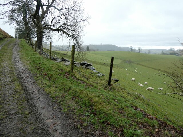
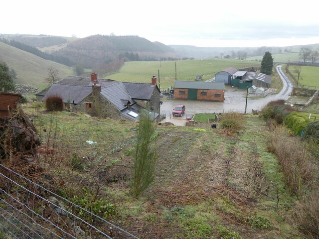
Pen-y-gwely Reservoir Images

Images are sourced within 2km of 52.881483/-3.1588898 or Grid Reference SJ2232. Thanks to Geograph Open Source API. All images are credited.

Ordnance Survey Cut Mark This OS cut mark can be found on the stone wall SW side of the road. It marks a point 410.920m above mean sea level.
Ordnance Survey Cut Mark
This OS cut mark can be found on the stone wall SW side of the road. It marks a point 410.920m above mean sea level.
Ordnance Survey Cut Mark This OS cut mark can be found on the stone wall SW side of the road. It marks a point 407.880m above mean sea level.
Ordnance Survey Cut Mark
This OS cut mark can be found on the stone wall SW side of the road. It marks a point 407.880m above mean sea level.
Ordnance Survey Cut Mark This OS cut mark can be found on the gatepost south side of the road. It marks a point 305.535m above mean sea level.
Ordnance Survey Cut Mark
This OS cut mark can be found on the gatepost south side of the road. It marks a point 305.535m above mean sea level.
Ordnance Survey Cut Mark This OS cut mark can be found on the stone gatepost at the road junction. It marks a point 237.805m above mean sea level.
Ordnance Survey Cut Mark
This OS cut mark can be found on the stone gatepost at the road junction. It marks a point 237.805m above mean sea level.
Ordnance Survey Cut Mark This OS cut mark can be found on the stone gatepost north side of the road. It marks a point 358.350m above mean sea level.
Ordnance Survey Cut Mark
This OS cut mark can be found on the stone gatepost north side of the road. It marks a point 358.350m above mean sea level.
Barn at Glanogeu
Barn at Glanogeu
Cefn Coch forestry track
Track heading downhill Running North from the minor road from Rhydycroesau to Rhydleos.
Track heading downhill
Running North from the minor road from Rhydycroesau to Rhydleos.
Sheep crossing a stream These sheep are going to have to leap across a small gap caused by flooding. Some have just leapt across, which caught my eye.
Sheep crossing a stream
These sheep are going to have to leap across a small gap caused by flooding. Some have just leapt across, which caught my eye.
Sheep crossing a stream They have to execute a little leap which they all did after each checking the distances involved. 

They aren't as stupid as some people think.
Sheep crossing a stream
They have to execute a little leap which they all did after each checking the distances involved. They aren't as stupid as some people think.
Entrance drive to Hafodig Looks nice.
Entrance drive to Hafodig
Looks nice.
Spring primroses on the lane bank Gorgeous to see.
Spring primroses on the lane bank
Gorgeous to see.
Fencepost with a waymarker disc for the Ceiriog Trail I do like a waymarker disc. 

I like the logo artwork here; a stirrup, showing that it is a bridleway as well as a walk.
Fencepost with a waymarker disc for the Ceiriog Trail
I do like a waymarker disc. I like the logo artwork here; a stirrup, showing that it is a bridleway as well as a walk.
Part of the Ceiriog Trail I like a waymarked walk.
Part of the Ceiriog Trail
I like a waymarked walk.
Signage in the forestry The dog is slightly out of scale to the human figure I feel. I am also struggling to place the breed. An Akita I think. Why does the human have no neck? Its head seems to float above the body. If I saw someone like that I would be alarmed. The arms are too low maybe too. It looks like an astronaut in a spacesuit with a glass helmet. No feet either. Maybe it's been snowing. 

Then there is the question of someone, presumably a youth, taking potshots at the sign with a .177 air rifle, I think, though I wonder what they were aiming at. All the shots are within the circle's outer edge, so constitute a group. If fired at extreme range, then it's not bad shooting. But if closer they could have aimed at the dog or human to make it interesting and if aiming for them then they have missed six times. Though two headshots are close. 

People shooting on a public footpath with an air rifle is illegal I think. When they aren't accurate and therefore inexperienced, inebriated or careless I am concerned. 

It seems to have been years ago and a one-off.
Signage in the forestry
The dog is slightly out of scale to the human figure I feel. I am also struggling to place the breed. An Akita I think. Why does the human have no neck? Its head seems to float above the body. If I saw someone like that I would be alarmed. The arms are too low maybe too. It looks like an astronaut in a spacesuit with a glass helmet. No feet either. Maybe it's been snowing. Then there is the question of someone, presumably a youth, taking potshots at the sign with a .177 air rifle, I think, though I wonder what they were aiming at. All the shots are within the circle's outer edge, so constitute a group. If fired at extreme range, then it's not bad shooting. But if closer they could have aimed at the dog or human to make it interesting and if aiming for them then they have missed six times. Though two headshots are close. People shooting on a public footpath with an air rifle is illegal I think. When they aren't accurate and therefore inexperienced, inebriated or careless I am concerned. It seems to have been years ago and a one-off.
Track into forestry, part of the Ceiriog Trail / Llwybr Ceiriog A nice incline.
Track into forestry, part of the Ceiriog Trail / Llwybr Ceiriog
A nice incline.
On part of the Llwybr Ceiriog Trail More lovely ewes and lambs.
On part of the Llwybr Ceiriog Trail
More lovely ewes and lambs.
Above Ty Uchaf Nice place.
Above Ty Uchaf
Nice place.
Show me another place!

Pen-y-gwely Reservoir is located at Grid Ref: SJ2232 (Lat: 52.881483, Lng: -3.1588898)

Unitary Authority: Powys

Police Authority: Dyfed Powys

What 3 Words

///chin.thorax.hound. Near Oswestry, Shropshire

Nearby Locations

Pen-y-gwely Reservoir

Related Wikis

Rhydycroesau

Rhydycroesau is a tiny village on the English-Welsh border, 3.25 miles (5.23 km) west of Oswestry on the B4580 road. It lies partly in the Shropshire parish...

Llawnt

Llawnt is a village in Shropshire, England. The name comes from Middle Welsh, borrowing from the English 'lawn'. The meaning in this case is 'green' (named...

Nant-y-Gollen

Nant-y-Gollen is a village in Shropshire in England. == References ==

St Silin's Church, Llansilin

St Silin's Church is a Church in Wales parish church in Llansilin, Powys, Wales. The present building, which has parts dating back to the 13th century...

Nearby Amenities

Located within 500m of 52.881483,-3.1588898
Place: farm
Lat/Long: 52.879797/-3.1584628
The data included in this document is from www.openstreetmap.org. The data is made available under ODbL.

Have you been to Pen-y-gwely Reservoir?

Leave your review of Pen-y-gwely Reservoir below (or comments, questions and feedback).