Bull Dingle
Valley in Montgomeryshire
Wales
Bull Dingle
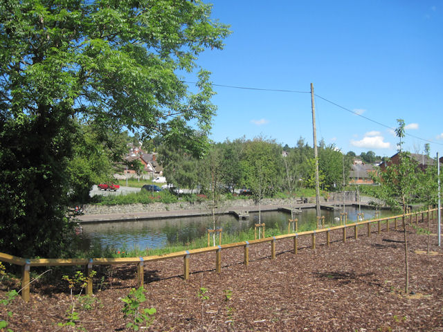
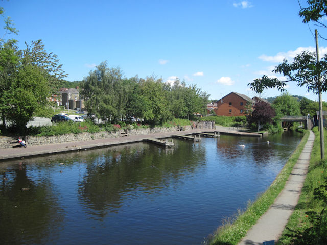
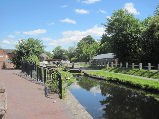
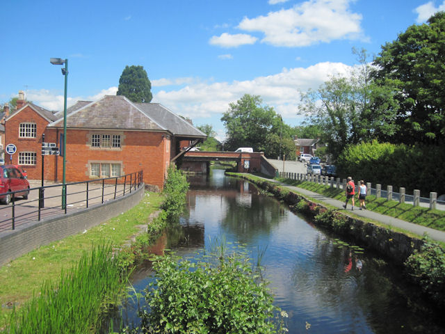
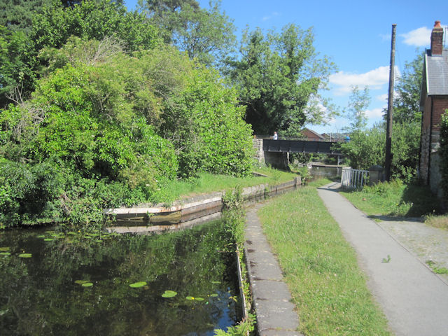
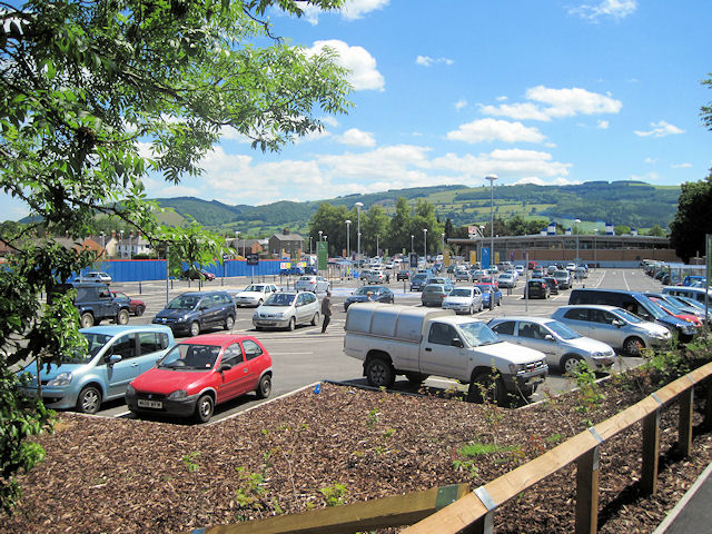
Bull Dingle is a small village located in the county of Montgomeryshire, Wales. Situated in a picturesque valley, it is surrounded by rolling hills and beautiful countryside. The village is home to a close-knit community, with a population of around 200 residents.
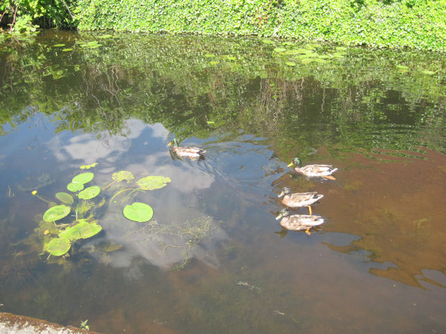
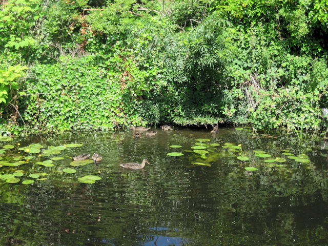
Bull Dingle is known for its tranquility and natural beauty, making it a popular destination for those seeking a peaceful retreat. The valley offers a range of outdoor activities, including hiking, cycling, and fishing, making it an ideal location for nature enthusiasts.
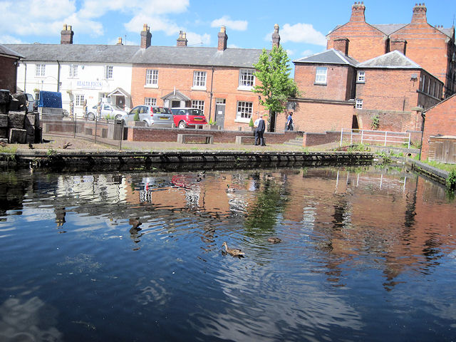
The village itself is characterized by traditional Welsh architecture, with many of the buildings dating back several centuries. The local pub, The Bull's Head, is a popular gathering spot for both locals and visitors, offering a warm and friendly atmosphere. There is also a small village shop, providing essential groceries and supplies.
Despite its small size, Bull Dingle has a rich history. The nearby Montgomery Castle, a medieval fortress, serves as a reminder of the village's past. The castle offers stunning views of the surrounding area and attracts many tourists throughout the year.
In terms of amenities, Bull Dingle has limited facilities, with the nearest town, Montgomery, located approximately five miles away. However, this adds to the village's charm and peacefulness, as it remains largely untouched by modern development.
Overall, Bull Dingle in Montgomeryshire offers a tranquil and idyllic setting for those looking to escape the hustle and bustle of city life and immerse themselves in the beauty of the Welsh countryside.
If you have any feedback on the listing, please let us know in the comments section below.
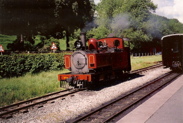
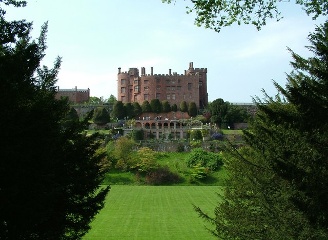
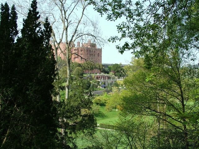
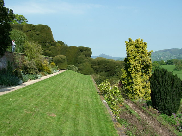
Bull Dingle Images
Images are sourced within 2km of 52.663271/-3.1447828 or Grid Reference SJ2207. Thanks to Geograph Open Source API. All images are credited.

Bull Dingle is located at Grid Ref: SJ2207 (Lat: 52.663271, Lng: -3.1447828)
Unitary Authority: Powys
Police Authority: Dyfed Powys
What 3 Words
///geese.mats.rosier. Near Welshpool, Powys
Nearby Locations
Related Wikis
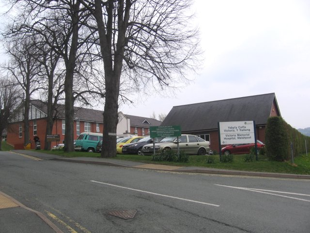
Victoria Memorial Hospital
The Victoria Memorial Hospital (Welsh: Ysbyty Coffa Victoria) is a health facility in Salop Road, Welshpool, Powys, Wales. It is managed by the Powys Teaching...

St Mary's Church, Welshpool
St Mary's Church, Welshpool, in the Diocese of St Asaph, is the Anglican parish church of Welshpool, Powys, Wales. The church is a Grade I listed building...
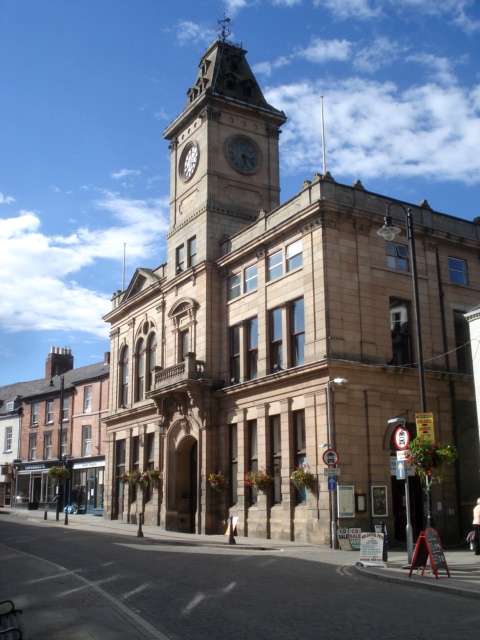
Welshpool Town Hall
Welshpool Town Hall (Welsh: Neuadd y Dref Y Trallwng), is a municipal building in Broad Street, Welshpool, Powys, Wales. The structure, which is the meeting...
Welshpool
Welshpool (Welsh: Y Trallwng) is a market town and community in Powys, Wales, historically in the county of Montgomeryshire. The town is four miles (six...
Nearby Amenities
Located within 500m of 52.663271,-3.1447828Have you been to Bull Dingle?
Leave your review of Bull Dingle below (or comments, questions and feedback).