Bron-y-Buckley Wood
Wood, Forest in Montgomeryshire
Wales
Bron-y-Buckley Wood
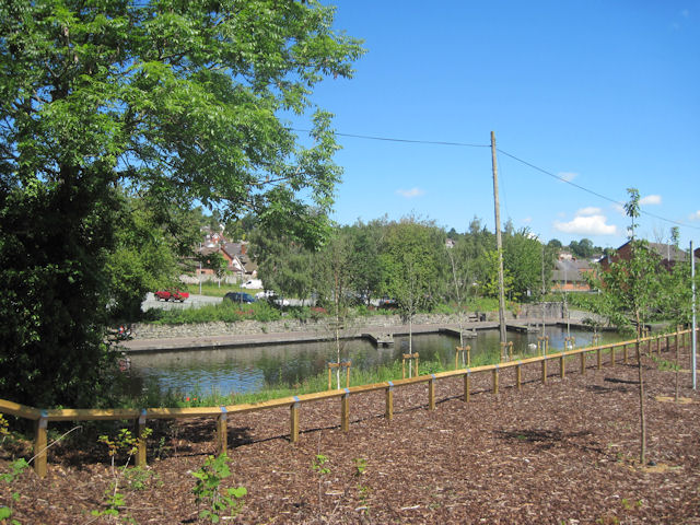
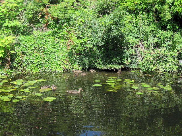
Bron-y-Buckley Wood is a picturesque woodland located in the county of Montgomeryshire in Wales. Covering an area of approximately 50 acres, it is situated on the eastern slopes of the Severn Valley, offering stunning views of the surrounding countryside.
The woodland is predominantly composed of mixed deciduous trees, including oak, ash, birch, and beech, creating a diverse and vibrant ecosystem. This rich variety of tree species also attracts a wide range of wildlife, making it a haven for nature enthusiasts.
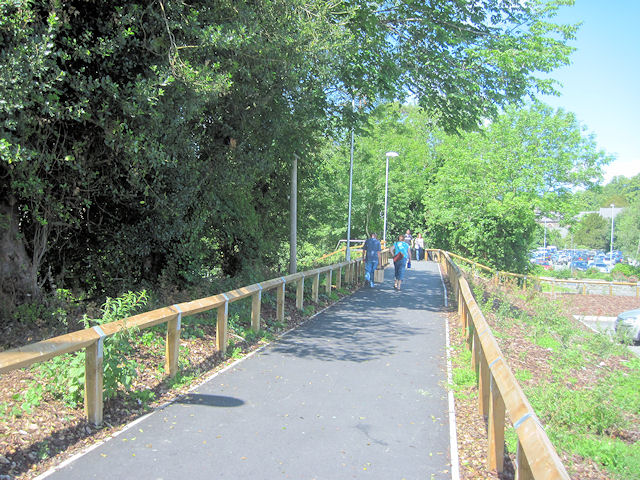
Traversed by a network of well-maintained footpaths, Bron-y-Buckley Wood offers visitors the opportunity to explore its enchanting beauty on leisurely walks. These paths wind through the wood, leading visitors along gentle slopes and past trickling streams. Along the way, walkers can observe the woodland's flora and fauna, including wildflowers, fungi, and various species of birds.
The tranquility and natural beauty of Bron-y-Buckley Wood make it an idyllic spot for picnics and relaxation. There are designated areas with benches and picnic tables, providing visitors with a peaceful setting to enjoy the sights and sounds of the woodland.
Managed by the local authorities, the wood is well-maintained, and efforts are made to preserve its natural habitat. Regular maintenance activities include tree conservation, path clearance, and the removal of invasive species to protect the delicate balance of the ecosystem.
Overall, Bron-y-Buckley Wood offers a serene escape into nature, providing a haven for wildlife and a delightful experience for visitors seeking peace and tranquility amidst the beauty of Montgomeryshire's woodlands.
If you have any feedback on the listing, please let us know in the comments section below.
Bron-y-Buckley Wood Images
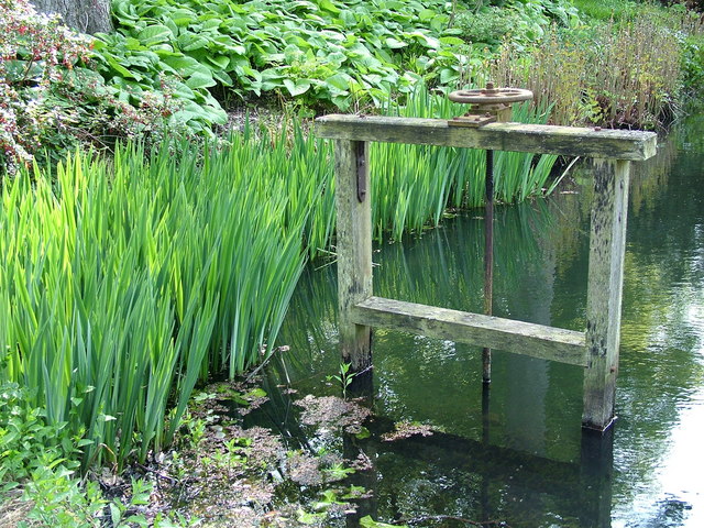
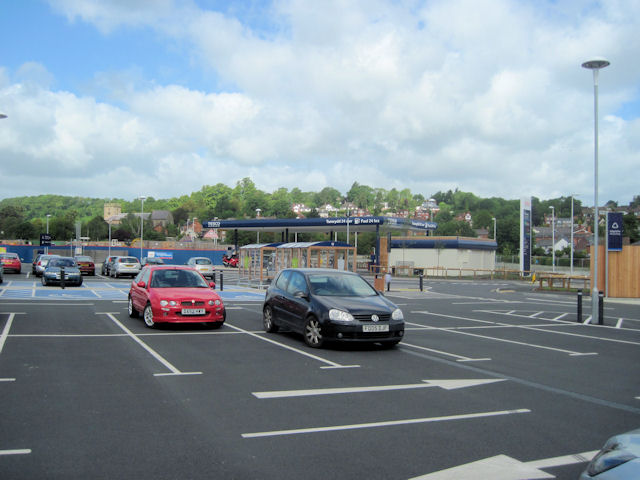
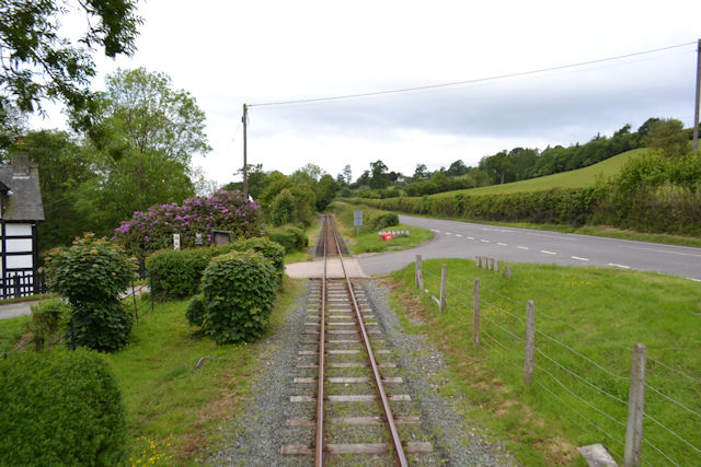
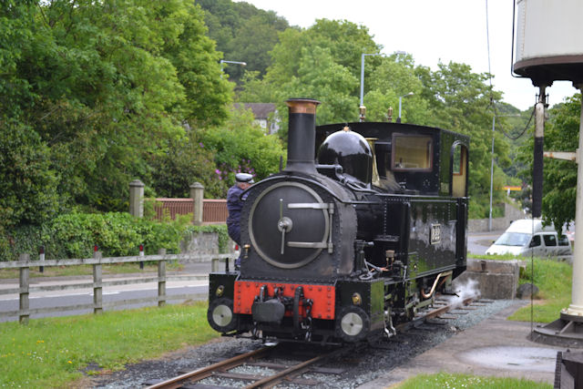
Images are sourced within 2km of 52.663932/-3.1544409 or Grid Reference SJ2207. Thanks to Geograph Open Source API. All images are credited.

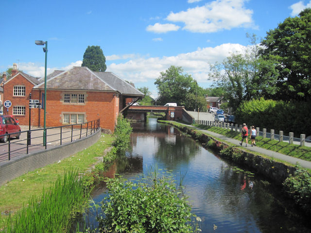
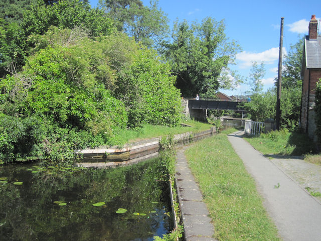
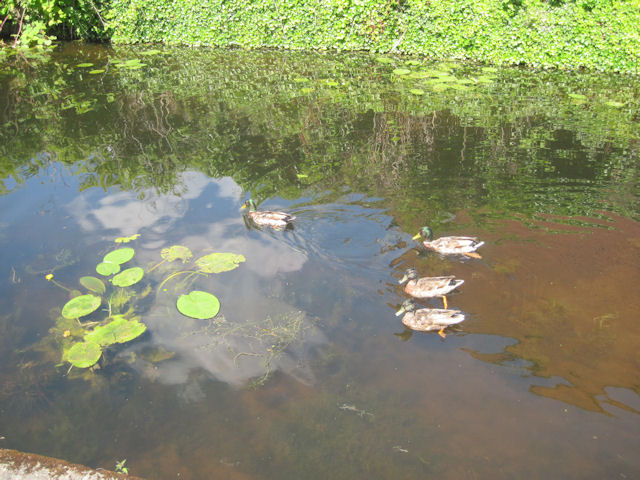
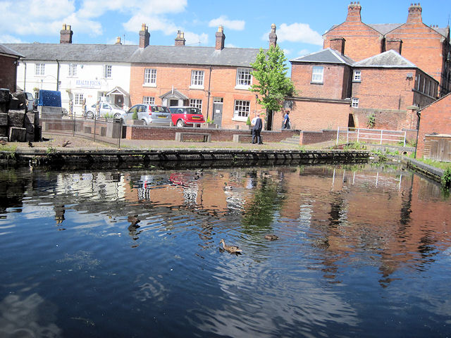
Bron-y-Buckley Wood is located at Grid Ref: SJ2207 (Lat: 52.663932, Lng: -3.1544409)
Unitary Authority: Powys
Police Authority: Dyfed Powys
What 3 Words
///remedy.deflate.trickling. Near Welshpool, Powys
Nearby Locations
Related Wikis
Brook Street drill hall, Welshpool
The Brook Street drill hall is a military installation in Welshpool. == History == An armoury was established at Welshpool in the mid-19th century. It...

Christ Church, Welshpool
Christ Church, Welshpool was commissioned by the Earl of Powis to commemorate his son, Edward James, the Viscount Clive, having come of age. It was designed...

Welshpool Town Hall
Welshpool Town Hall (Welsh: Neuadd y Dref Y Trallwng), is a municipal building in Broad Street, Welshpool, Powys, Wales. The structure, which is the meeting...

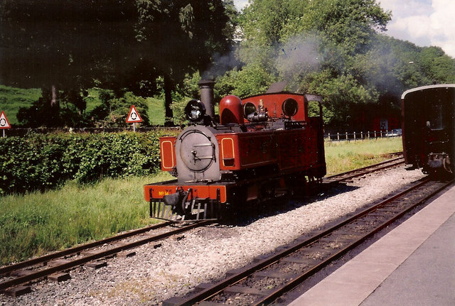
Welshpool Raven Square railway station
Welshpool Raven Square railway station, located in Welshpool, in Wales, is the eastern terminus of the narrow gauge Welshpool and Llanfair Light Railway...
Nearby Amenities
Located within 500m of 52.663932,-3.1544409Have you been to Bron-y-Buckley Wood?
Leave your review of Bron-y-Buckley Wood below (or comments, questions and feedback).