Welshpool
Settlement in Montgomeryshire
Wales
Welshpool
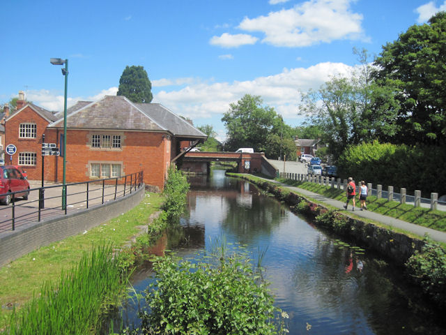
Welshpool is a historic market town located in the county of Montgomeryshire, Wales. Situated on the banks of the River Severn, it lies close to the borders of England, with Shrewsbury just 21 kilometers to the east.
The town has a rich history dating back to the medieval period, with the origins of its name derived from the Welsh word "Y Trallwng," meaning "the marshy or sinking land." Welshpool Castle, a motte-and-bailey fortress built in the 13th century, stands as a reminder of the town's past. Today, it serves as a popular tourist attraction, offering stunning views of the surrounding countryside.
Welshpool's economy is driven by a mix of agriculture, tourism, and light industry. The town's weekly market, held every Monday, has been a tradition for centuries and continues to draw locals and visitors alike. The livestock market is also a thriving hub for farmers in the region.
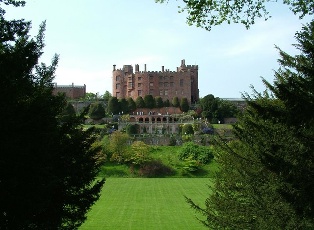
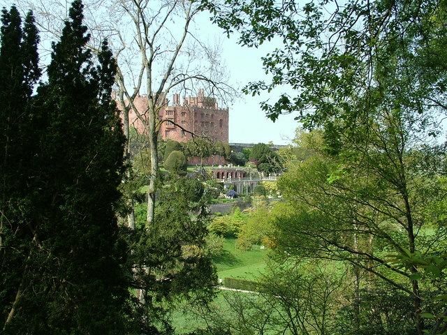
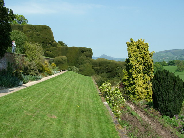
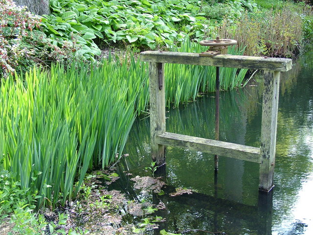
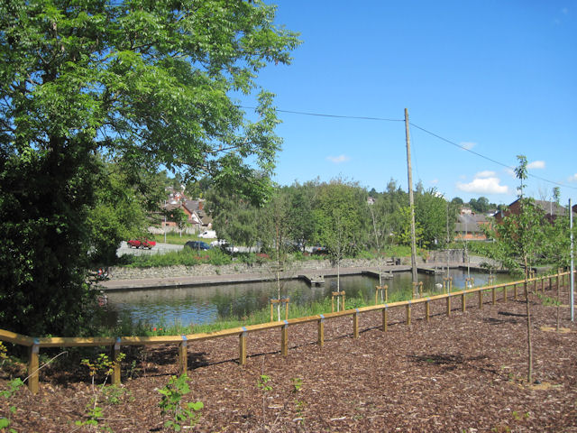
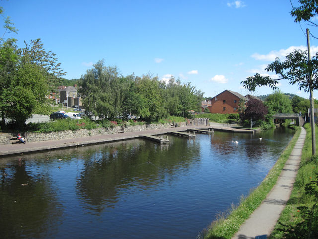
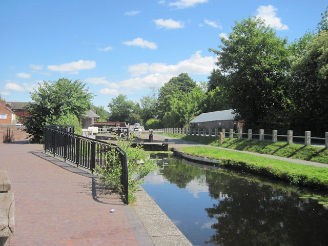
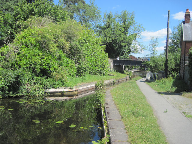
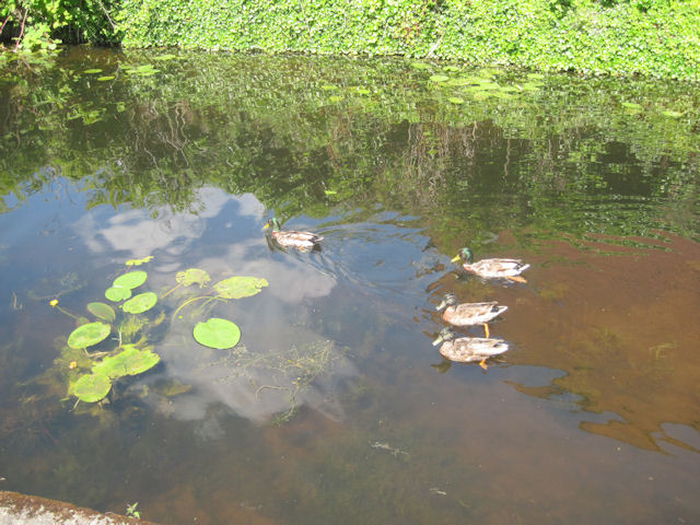
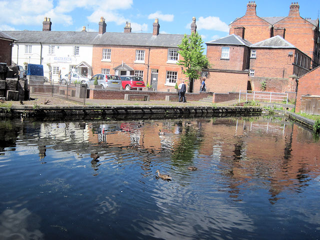
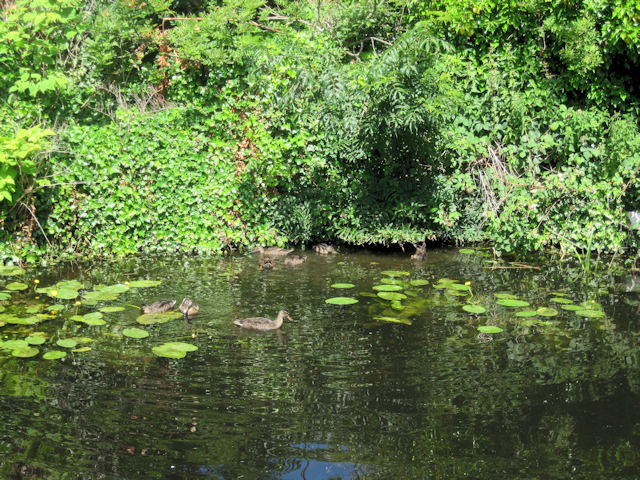
Nature lovers are drawn to Welshpool for its picturesque landscapes and proximity to attractions such as Powis Castle and Gardens, a National Trust property renowned for its stunning gardens and historic architecture. The nearby Montgomery Canal, once a vital trade route, now offers scenic walks and boat trips.
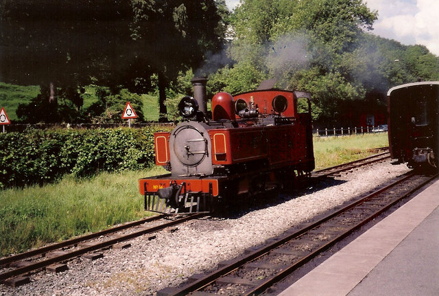
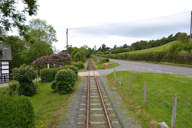
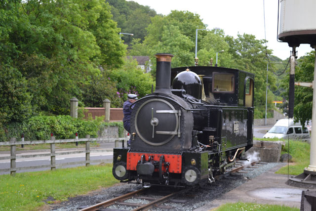
Transport links in Welshpool include a railway station, connecting the town to Shrewsbury and further afield. The A483 road provides easy access to other towns and cities in the region.
With its fascinating history, vibrant market, and natural beauty, Welshpool is a charming destination that showcases the best of rural Wales.
If you have any feedback on the listing, please let us know in the comments section below.
Welshpool Images
Images are sourced within 2km of 52.660611/-3.149745 or Grid Reference SJ2207. Thanks to Geograph Open Source API. All images are credited.
Welshpool is located at Grid Ref: SJ2207 (Lat: 52.660611, Lng: -3.149745)
Unitary Authority: Powys
Police Authority: Dyfed Powys
Also known as: Y Trallwng
What 3 Words
///already.livid.servicing. Near Welshpool, Powys
Nearby Locations
Related Wikis
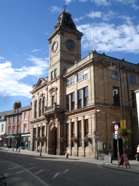
Welshpool Town Hall
Welshpool Town Hall (Welsh: Neuadd y Dref Y Trallwng), is a municipal building in Broad Street, Welshpool, Powys, Wales. The structure, which is the meeting...
Welshpool
Welshpool (Welsh: Y Trallwng) is a market town and community in Powys, Wales, historically in the county of Montgomeryshire. The town is four miles (six...

St Mary's Church, Welshpool
St Mary's Church, Welshpool, in the Diocese of St Asaph, is the Anglican parish church of Welshpool, Powys, Wales. The church is a Grade I listed building...

Christ Church, Welshpool
Christ Church, Welshpool was commissioned by the Earl of Powis to commemorate his son, Edward James, the Viscount Clive, having come of age. It was designed...
Nearby Amenities
Located within 500m of 52.660611,-3.149745Have you been to Welshpool?
Leave your review of Welshpool below (or comments, questions and feedback).