Smithy Cleugh
Valley in Midlothian
Scotland
Smithy Cleugh
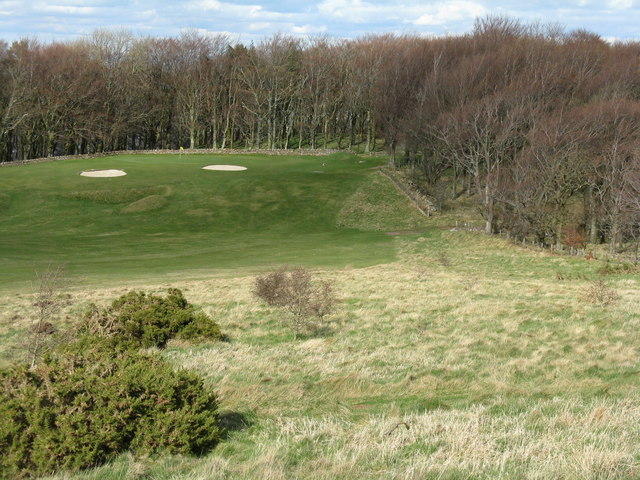
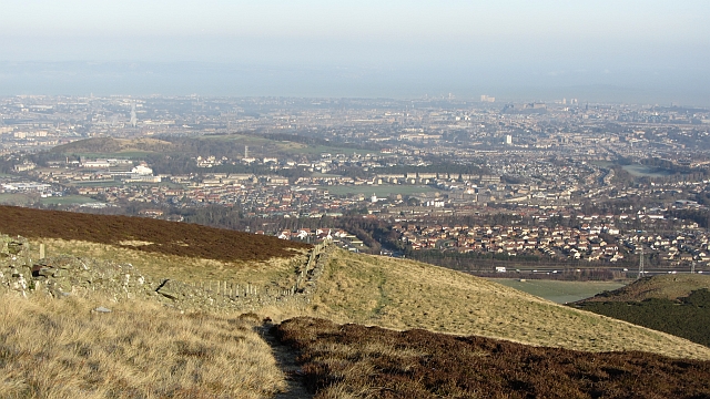
![Western Edinburgh from above Swanston Looking over Lothianburn golf course. To the left of the trees [the 'T-wood'] is the valley of the Swanston Burn, beyond which are the upper reaches of Swanston Golf Course, then Dreghorn and Redford Barracks and, even further in the distance, Corstorphine Hill and the Firth of Forth [11 km away]](https://s1.geograph.org.uk/geophotos/02/33/72/2337289_b81b7753.jpg)
Smithy Cleugh is a picturesque valley located in Midlothian, Scotland. Nestled amidst the rolling hills and lush greenery, it offers a tranquil and serene escape from the bustling city life. The valley is situated approximately 10 miles southeast of Edinburgh, making it easily accessible for both locals and tourists.
The name "Smithy Cleugh" derives from the old blacksmith's shop that once operated in the area. The remnants of this historical landmark can still be seen today, adding to the valley's charm and character.
This idyllic location is a haven for nature enthusiasts and hikers, with numerous trails and paths crisscrossing the valley. Visitors can explore the breathtaking scenery, which includes babbling brooks, towering trees, and wildflowers in full bloom during the spring and summer months.
The valley is also home to a diverse range of wildlife, including birds, deer, and various small mammals. Birdwatchers will be delighted by the opportunity to spot species such as red kites, buzzards, and woodpeckers.
For those interested in history, Smithy Cleugh offers insights into the area's past. Ruins of old farmhouses and stone walls can be found, providing a glimpse into the agricultural practices of the region's earlier inhabitants.
Overall, Smithy Cleugh is a hidden gem in Midlothian, offering a serene escape into nature and a chance to immerse oneself in its rich history. Whether it's hiking, wildlife spotting, or simply enjoying the tranquility, this valley is a must-visit destination for nature lovers and history enthusiasts alike.
If you have any feedback on the listing, please let us know in the comments section below.
Smithy Cleugh Images
Images are sourced within 2km of 55.890955/-3.2377562 or Grid Reference NT2267. Thanks to Geograph Open Source API. All images are credited.
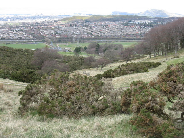
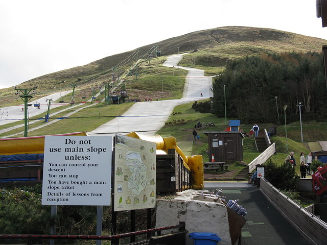
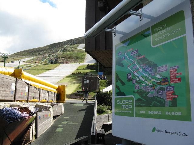
![Edinburgh from Hillend Looking northeastwards from just above the Midlothian Snowsports Centre, over Lothianburn Golf Course and Comiston to The Braid Hills, with Edinburgh Castle to the left [7km] and Salisbury Crags and Arthur&#039;s Seat to the right [7km], and the Firth of Forth, with Inchkeith island in the centre [17km].](https://s2.geograph.org.uk/geophotos/02/33/74/2337422_7b849218.jpg)


Smithy Cleugh is located at Grid Ref: NT2267 (Lat: 55.890955, Lng: -3.2377562)
Unitary Authority: City of Edinburgh
Police Authority: Edinburgh
What 3 Words
///water.rewarding.scale. Near Colinton, Edinburgh
Nearby Locations
Related Wikis

Caerketton Hill
Caerketton Hill is a hill in the Pentland Hills range of Scotland. Standing at 478 m, it is at the northeast end of the approximately 25 km (16 mi) long...

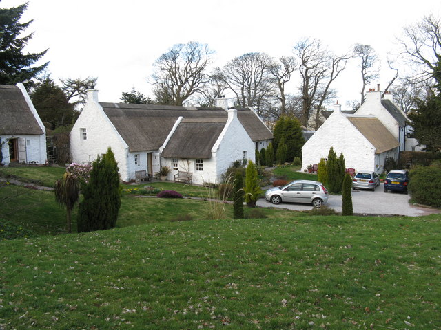
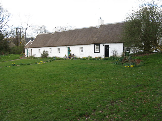
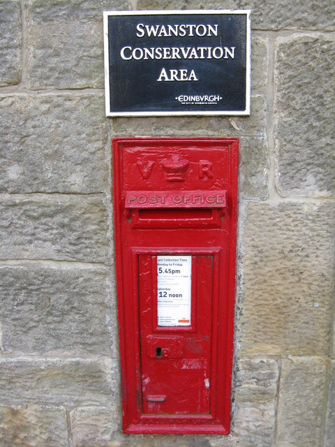
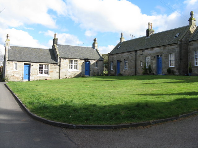
Swanston, Edinburgh
Swanston is a village and residential area on the southern edge of Edinburgh, Scotland, noted for its picturesque thatched cottages set around an informal...

Bonaly
Bonaly () is an area on the south-western outskirts of Edinburgh and the northern slopes of the Pentland Hills, lying within the Parish of Colinton. It...
Hunter's Tryst
Hunter's Tryst () is the name of a long-established inn in Edinburgh, Scotland; it has lent its name to the surrounding area, near Fairmilehead.The inn...
Nearby Amenities
Located within 500m of 55.890955,-3.2377562Have you been to Smithy Cleugh?
Leave your review of Smithy Cleugh below (or comments, questions and feedback).