Earn Cleuch
Valley in Peeblesshire
Scotland
Earn Cleuch

Earn Cleuch is a picturesque and serene valley located in Peeblesshire, Scotland. Situated in the southern part of the country, it is surrounded by rolling hills and breathtaking landscapes, making it a popular destination for nature enthusiasts and hikers.
The valley is named after the Earn Water, a charming river that runs through it. The river meanders through the valley, creating a peaceful ambiance with its gentle flow and the soothing sound of water. The surrounding hills are covered in lush greenery, with patches of heather and wildflowers adding bursts of color to the landscape.
Earn Cleuch is home to a diverse range of wildlife, making it a haven for nature lovers. Visitors may spot various species of birds, including peregrine falcons and red kites, soaring above the valley. The river is teeming with trout and salmon, attracting fishing enthusiasts from far and wide.
For those seeking outdoor adventures, Earn Cleuch offers numerous walking trails and hiking routes. The valley is crisscrossed by paths that lead to breathtaking viewpoints, hidden waterfalls, and ancient ruins. The trails cater to all levels of fitness and provide an opportunity to explore the natural beauty of the area.
The valley is also rich in history and heritage, with several historic sites dotted throughout the landscape. Ruins of old castles, such as Neidpath Castle, stand as a testament to the area's medieval past and offer a glimpse into Scotland's fascinating history.
Whether it's a tranquil stroll along the riverbanks, an invigorating hike through the hills, or a journey into the region's storied past, Earn Cleuch offers a captivating and immersive experience for visitors of all ages.
If you have any feedback on the listing, please let us know in the comments section below.
Earn Cleuch Images
Images are sourced within 2km of 55.624886/-3.3903299 or Grid Reference NT1237. Thanks to Geograph Open Source API. All images are credited.


Earn Cleuch is located at Grid Ref: NT1237 (Lat: 55.624886, Lng: -3.3903299)
Unitary Authority: The Scottish Borders
Police Authority: The Lothians and Scottish Borders
What 3 Words
///torso.tornado.pine. Near Biggar, South Lanarkshire
Nearby Locations
Related Wikis
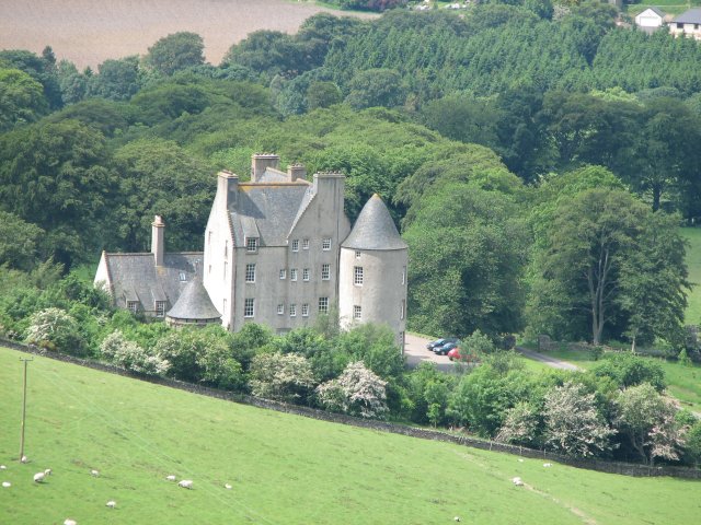
Broughton Place, Scottish Borders
Broughton Place is a historic house in the village of Broughton, Scottish Borders. It was designed by Basil Spence in the style of a 17th-century Scottish...
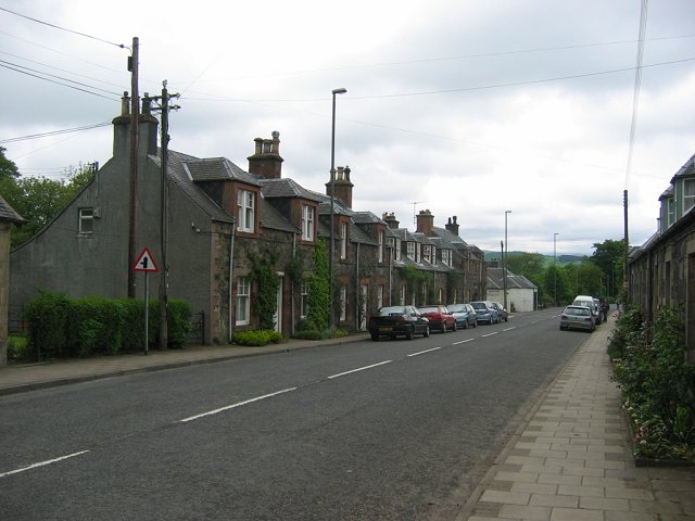
Broughton, Scottish Borders
Broughton is a village in Tweeddale in the historical county of Peeblesshire in the Scottish Borders council area, in the south of Scotland, in the civil...

Broughton railway station (Scotland)
Broughton railway station served the village of Broughton, Scottish Borders, Scotland from 1860 to 1950 on the Symington, Biggar and Broughton Railway...

Dreva on Tweed
Dreva on Tweed (or simply Dreva) is a hamlet in the Scottish Borders. It was historically in Peebles-shire. It is noted for the historical presence of...

Broughton, Glenholm and Kilbucho
Broughton, Glenholm and Kilbucho is a parish in Peeblesshire in the Scottish Borders, 11 miles south-west of Peebles, lying in the upper part of the valley...

Biggar Water
Biggar Water is a river in Lanarkshire and Peeblesshire, in the Southern Uplands of Scotland. It forms part of the River Tweed system. It rises, as Biggar...

Holms Water
The Holms Water is a river and a tributary of the Biggar Water, which is a tributary of the River Tweed, in the parish of Broughton, Glenholm and Kilbucho...

Drumelzier
Drumelzier (), is a village and civil parish on the B712 in the Tweed Valley in the Scottish Borders. The area of the village is extensive and includes...
Nearby Amenities
Located within 500m of 55.624886,-3.3903299Have you been to Earn Cleuch?
Leave your review of Earn Cleuch below (or comments, questions and feedback).