Duck Pond Plantation
Wood, Forest in Peeblesshire
Scotland
Duck Pond Plantation

Duck Pond Plantation is a picturesque woodland retreat located in Peeblesshire, Scotland. Covering an area of approximately 100 acres, this enchanting forest is known for its rich biodiversity and tranquil atmosphere.
The plantation is primarily composed of a dense mixture of deciduous and coniferous trees, creating a vibrant and varied landscape. Towering oak, beech, and birch trees dominate the canopy, while spruce and pine provide a lush undergrowth. The forest floor is adorned with a carpet of mosses, ferns, and wildflowers, adding a splash of color to the serene surroundings.
One of the highlights of Duck Pond Plantation is its namesake feature, a charming pond teeming with ducks and other waterfowl. This serene body of water serves as a focal point for visitors, providing a tranquil spot for relaxation and birdwatching.
The plantation offers a network of well-maintained walking trails, allowing visitors to explore the diverse flora and fauna. Nature enthusiasts can spot various bird species, including woodpeckers, thrushes, and owls, while lucky visitors may catch a glimpse of elusive wildlife such as red squirrels, roe deer, and even otters.
Duck Pond Plantation is a haven for outdoor activities, including hiking, cycling, and picnicking. The peaceful ambiance of the woodland makes it an ideal destination for those seeking solace in nature or wanting to reconnect with the great outdoors.
Overall, Duck Pond Plantation is a hidden gem in Peeblesshire, offering a serene and idyllic setting for nature lovers and adventure seekers alike.
If you have any feedback on the listing, please let us know in the comments section below.
Duck Pond Plantation Images
Images are sourced within 2km of 55.627031/-3.3961235 or Grid Reference NT1237. Thanks to Geograph Open Source API. All images are credited.


Duck Pond Plantation is located at Grid Ref: NT1237 (Lat: 55.627031, Lng: -3.3961235)
Unitary Authority: The Scottish Borders
Police Authority: The Lothians and Scottish Borders
What 3 Words
///slim.typist.duties. Near Biggar, South Lanarkshire
Nearby Locations
Related Wikis
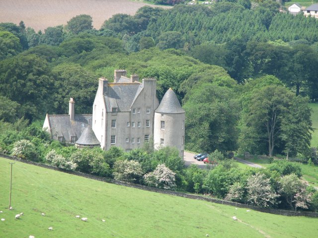
Broughton Place, Scottish Borders
Broughton Place is a historic house in the village of Broughton, Scottish Borders. It was designed by Basil Spence in the style of a 17th-century Scottish...
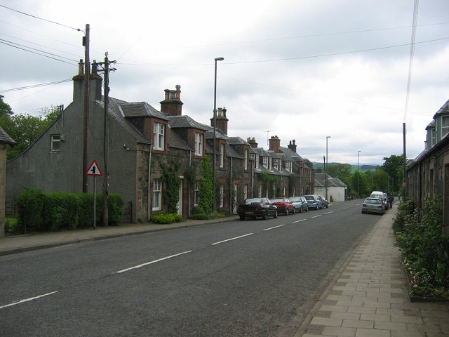
Broughton, Scottish Borders
Broughton is a village in Tweeddale in the historical county of Peeblesshire in the Scottish Borders council area, in the south of Scotland, in the civil...

Broughton railway station (Scotland)
Broughton railway station served the village of Broughton, Scottish Borders, Scotland from 1860 to 1950 on the Symington, Biggar and Broughton Railway...

Broughton, Glenholm and Kilbucho
Broughton, Glenholm and Kilbucho is a parish in Peeblesshire in the Scottish Borders, 11 miles south-west of Peebles, lying in the upper part of the valley...
Nearby Amenities
Located within 500m of 55.627031,-3.3961235Have you been to Duck Pond Plantation?
Leave your review of Duck Pond Plantation below (or comments, questions and feedback).