Blackdub Gill

Valley in Cumberland Copeland

England

Blackdub Gill

Ordnance Survey Rivet This OS rivet can be found on the east end of the south parapet of the Railway Bridge. It marks a point 24.707m above mean sea level.
Ordnance Survey Rivet Credit: Adrian Dust

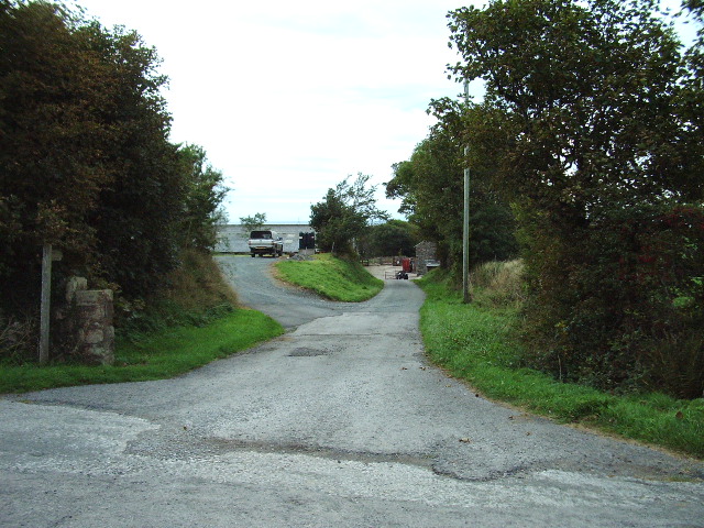
Blackdub Gill is a small valley located in Cumberland, a historic county in northwest England. It is nestled within the picturesque Lake District National Park, renowned for its stunning natural beauty and diverse landscapes. The valley is situated near the popular tourist town of Keswick and is surrounded by rolling hills, lush forests, and sparkling waterfalls.

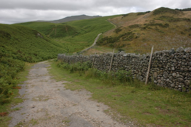
Blackdub Gill is characterized by its tranquil atmosphere and unspoiled wilderness. The gill, or ravine, is formed by the cascading waters of the Blackdub Beck, a charming stream that flows through the valley. The beck creates a series of enchanting waterfalls as it winds its way through the verdant landscape, providing a captivating sight for visitors.

The valley is also home to a rich variety of flora and fauna, making it a haven for nature lovers and wildlife enthusiasts. The dense forests that line the gill are filled with an array of native trees, including oak, birch, and rowan. These woodlands provide a habitat for a diverse range of bird species, such as the pied flycatcher and the redstart.

Visitors to Blackdub Gill can enjoy a range of outdoor activities, including hiking, birdwatching, and photography. The valley offers numerous trails and footpaths, allowing visitors to explore its scenic beauty at their own pace. Additionally, the gill is a popular spot for picnics and provides a peaceful setting for relaxation and contemplation.

Overall, Blackdub Gill in Cumberland is a captivating destination for those seeking solace in nature, and its idyllic charm makes it a truly memorable place to visit within the Lake District National Park.

If you have any feedback on the listing, please let us know in the comments section below.

Blackdub Gill Images

Images are sourced within 2km of 54.30096/-3.3657732 or Grid Reference SD1190. Thanks to Geograph Open Source API. All images are credited.

Ordnance Survey Rivet This OS rivet can be found on the east end of the south parapet of the Railway Bridge. It marks a point 24.707m above mean sea level.
Ordnance Survey Rivet
This OS rivet can be found on the east end of the south parapet of the Railway Bridge. It marks a point 24.707m above mean sea level.
Railway Bridge Railway bridge north of Bootle, Cumbria.
Railway Bridge
Railway bridge north of Bootle, Cumbria.
A595 northbound near Ford House
Field barn and sheep pens Field barn and sheep pens near Bootle village
Field barn and sheep pens
Field barn and sheep pens near Bootle village
Gateway and fields Gateway and fields looking towards Flatts Farm
Gateway and fields
Gateway and fields looking towards Flatts Farm
Ordnance Survey Cut Mark This OS cut mark can be found on the north angle of the barn at Crosshouse Farm. It marks a point 33.132m above mean sea level.
Ordnance Survey Cut Mark
This OS cut mark can be found on the north angle of the barn at Crosshouse Farm. It marks a point 33.132m above mean sea level.
Grazing near Seaton Hall Off the A595.
Grazing near Seaton Hall
Off the A595.
A595 north of Bootle Towards Muncaster.
A595 north of Bootle
Towards Muncaster.
Ordnance Survey Cut Mark This OS cut mark can be found on the wall north side of the road. It marks a point 67.919m above mean sea level.
Ordnance Survey Cut Mark
This OS cut mark can be found on the wall north side of the road. It marks a point 67.919m above mean sea level.
Ordnance Survey Rivet This OS rivet can be found on the wall NW side of the road. It marks a point 86.859m above mean sea level.
Ordnance Survey Rivet
This OS rivet can be found on the wall NW side of the road. It marks a point 86.859m above mean sea level.
Ordnance Survey Cut Mark This OS cut mark can be found on the wall west side of the road. It marks a point 107.982m above mean sea level.
Ordnance Survey Cut Mark
This OS cut mark can be found on the wall west side of the road. It marks a point 107.982m above mean sea level.
Ordnance Survey Cut Mark This OS cut mark can be found on the concrete gatepost north side of the road. It marks a point 44.519m above mean sea level.
Ordnance Survey Cut Mark
This OS cut mark can be found on the concrete gatepost north side of the road. It marks a point 44.519m above mean sea level.
Over grown entrance to High Mill
The road to Seaton Hall
Public Bridleway Bridleway to Hycemoor
Public Bridleway
Bridleway to Hycemoor
Track onto Bootle Fell Track onto Bootle Fell at North Coppycow, Stoneside Hill can be seen on the horizon.
Track onto Bootle Fell
Track onto Bootle Fell at North Coppycow, Stoneside Hill can be seen on the horizon.
Bridleway to Corney Fell Typical West Cumbrian landscapape.
Bridleway to Corney Fell
Typical West Cumbrian landscapape.
Show me another place!

Blackdub Gill is located at Grid Ref: SD1190 (Lat: 54.30096, Lng: -3.3657732)

Administrative County: Cumbria

District: Copeland

Police Authority: Cumbria

What 3 Words

///richest.marine.placed. Near Millom, Cumbria

Related Wikis

Corney

Corney is a village and former civil parish, now in the parish of Waberthwaite, in the Cumberland district, in the ceremonial county of Cumbria, England...

Seaton Priory

Originally called the nunnery of Lekeley from the name of the land it was built upon, the former nunnery of Seaton is to the north of the parish of Bootle...

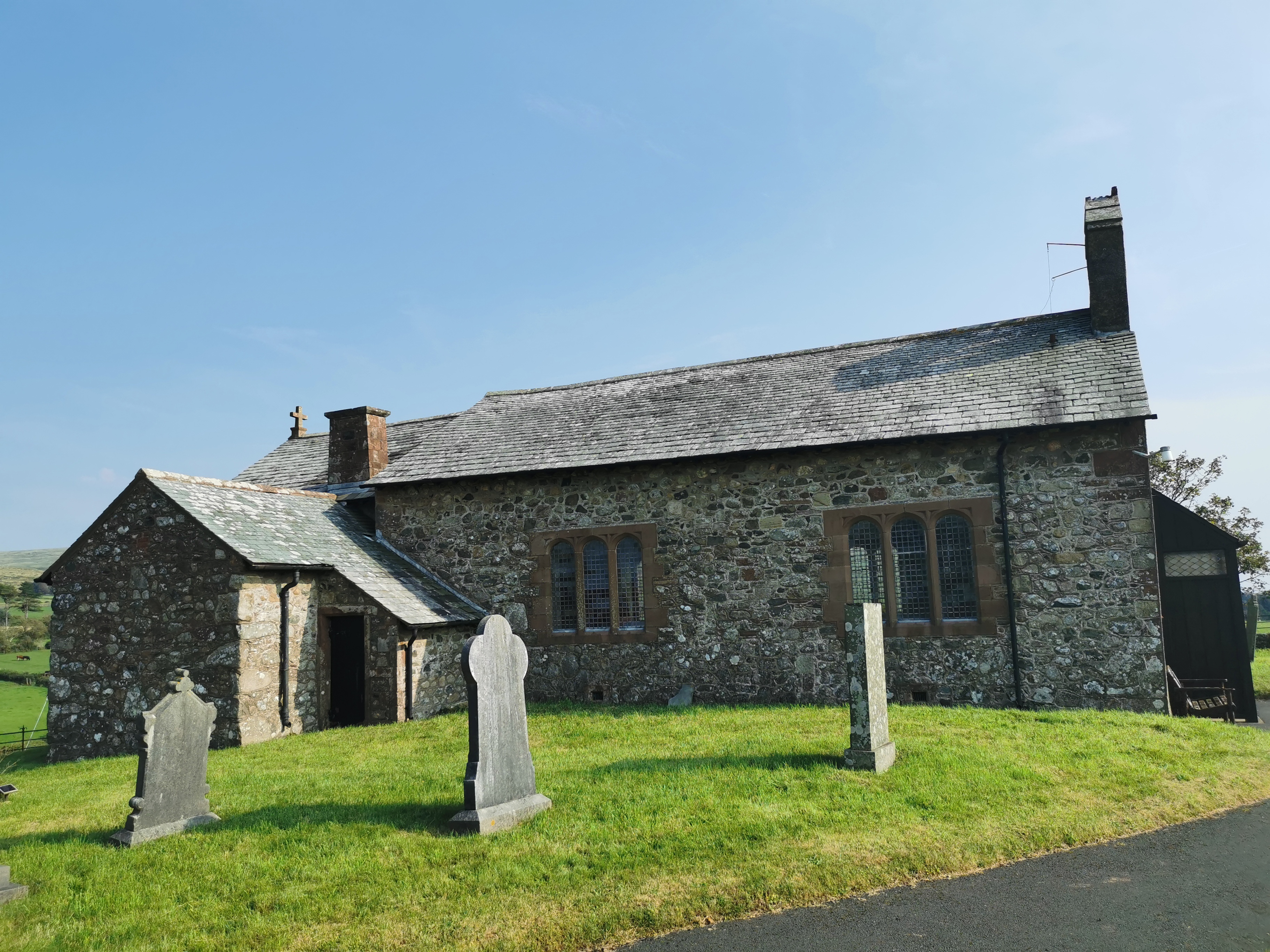
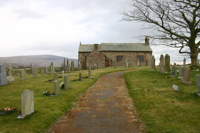
St John the Baptist, Corney

St John the Baptist, is in Corney, Cumbria, England. It is an Anglican parish church in the deanery of Calder, and the diocese of Carlisle. Its benefice...

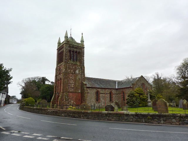
St Michael's Church, Bootle

St Michael's Church is in the village of Bootle, Cumbria, England. It is an active Anglican parish church in the deanery of Calder, the archdeaconry of...

Hycemoor

Hycemoor is a hamlet in Copeland borough of the county of Cumbria, in North west England. == Location == It is located on a minor road about a mile away...

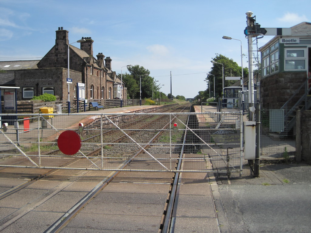
Bootle railway station

Bootle is a railway station on the Cumbrian Coast Line, which runs between Carlisle and Barrow-in-Furness. The station, situated 24 miles (39 km) north...
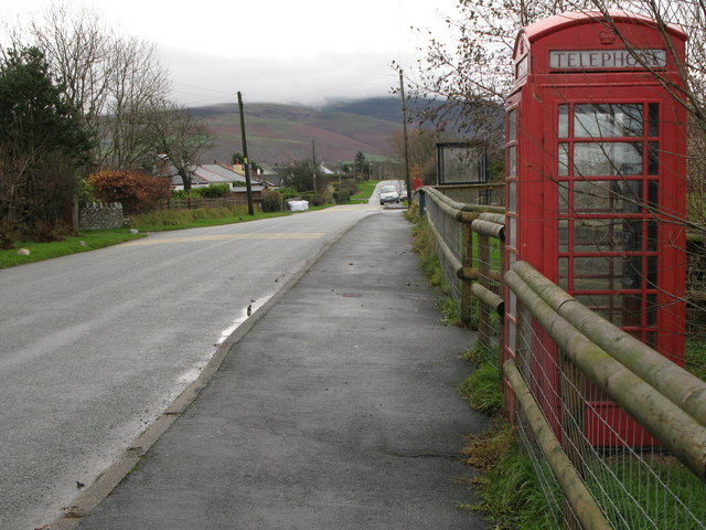
Bootle, Cumbria

Bootle (oo as in boot) is a village and civil parish in the Borough of Copeland in Cumbria, England. The parish had a population of 745 in the 2001 census...

Stubb Place

Stubb Place is a small settlement in western Cumbria, England. Known by locals in Waberthwaite as marshside, due to the name of the nearby cottages. It...

Nearby Amenities

Located within 500m of 54.30096,-3.3657732
Power: pole
Lat/Long: 54.2968079/-3.3640843
Power: pole
Lat/Long: 54.2974018/-3.3639946
Power: pole
Lat/Long: 54.2983809/-3.363854
Power: pole
Lat/Long: 54.299338/-3.3636978
Power: pole
Lat/Long: 54.3003005/-3.3635541
Power: pole
Lat/Long: 54.3010133/-3.3634572
Power: pole
Lat/Long: 54.3020542/-3.3635166
Power: pole
Lat/Long: 54.3030313/-3.3635916
Power: pole
Lat/Long: 54.3037386/-3.3636353
Power: pole
Lat/Long: 54.3047885/-3.3636884
Power: pole
Lat/Long: 54.2968089/-3.3656341
Power: pole
Lat/Long: 54.2968028/-3.3673
Power: pole
Lat/Long: 54.3047152/-3.3651547
Power: pole
Lat/Long: 54.3046454/-3.3666219
The data included in this document is from www.openstreetmap.org. The data is made available under ODbL.

Have you been to Blackdub Gill?

Leave your review of Blackdub Gill below (or comments, questions and feedback).