Corney Hill

Hill, Mountain in Cumberland Copeland

England

Corney Hill

The line to Carlisle Taken from the level crossing at Bootle station.
The line to Carlisle Credit: David Purchase

Corney Hill is a prominent hill located in the County of Cumberland, England. It is part of the picturesque Lake District National Park, which is renowned for its stunning natural beauty and rugged landscapes. Standing at an elevation of approximately 1,480 feet (450 meters) above sea level, Corney Hill offers breathtaking panoramic views of the surrounding countryside.

The hill is characterized by its distinctively shaped summit, which is flat and plateau-like. This unique feature provides an ideal vantage point for visitors to enjoy the awe-inspiring vistas of the Lake District, including the nearby Ennerdale Water and the iconic Scafell Pike, the highest peak in England.

Corney Hill is a popular destination for outdoor enthusiasts and hikers, who are drawn to its challenging yet rewarding trails. The ascent to the summit can be steep in some places, but the well-maintained paths and clear signage make it accessible to both experienced and novice walkers.

The hill is also home to a diverse range of flora and fauna, with its heather-clad slopes and rocky outcrops providing habitats for various species of birds, mammals, and insects. Nature lovers can spot red grouse, golden eagles, and even the occasional red deer while exploring the area.

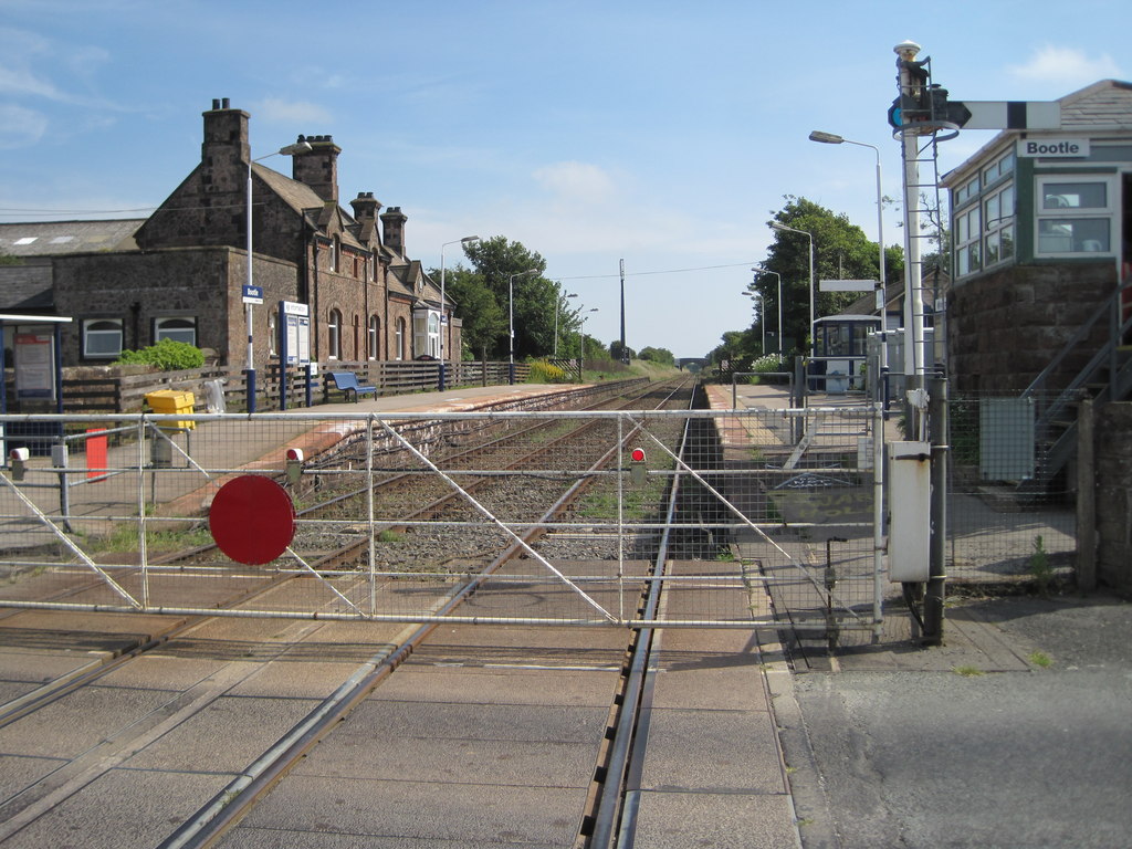
Corney Hill is easily accessible from the nearby village of Bootle, where visitors can find parking facilities and amenities such as cafes and pubs. Whether it be for a leisurely stroll or a more challenging hike, a visit to Corney Hill promises a memorable experience for anyone seeking to immerse themselves in the natural wonders of the Lake District.

If you have any feedback on the listing, please let us know in the comments section below.
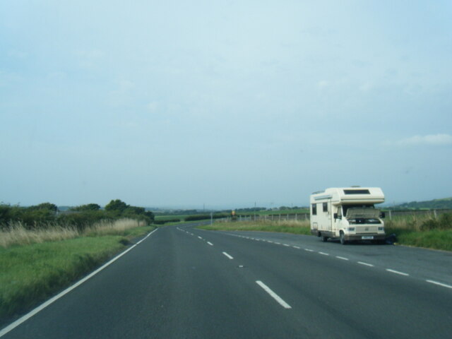
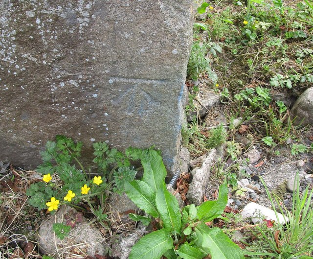
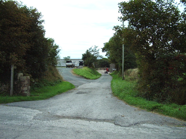
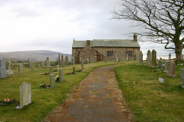
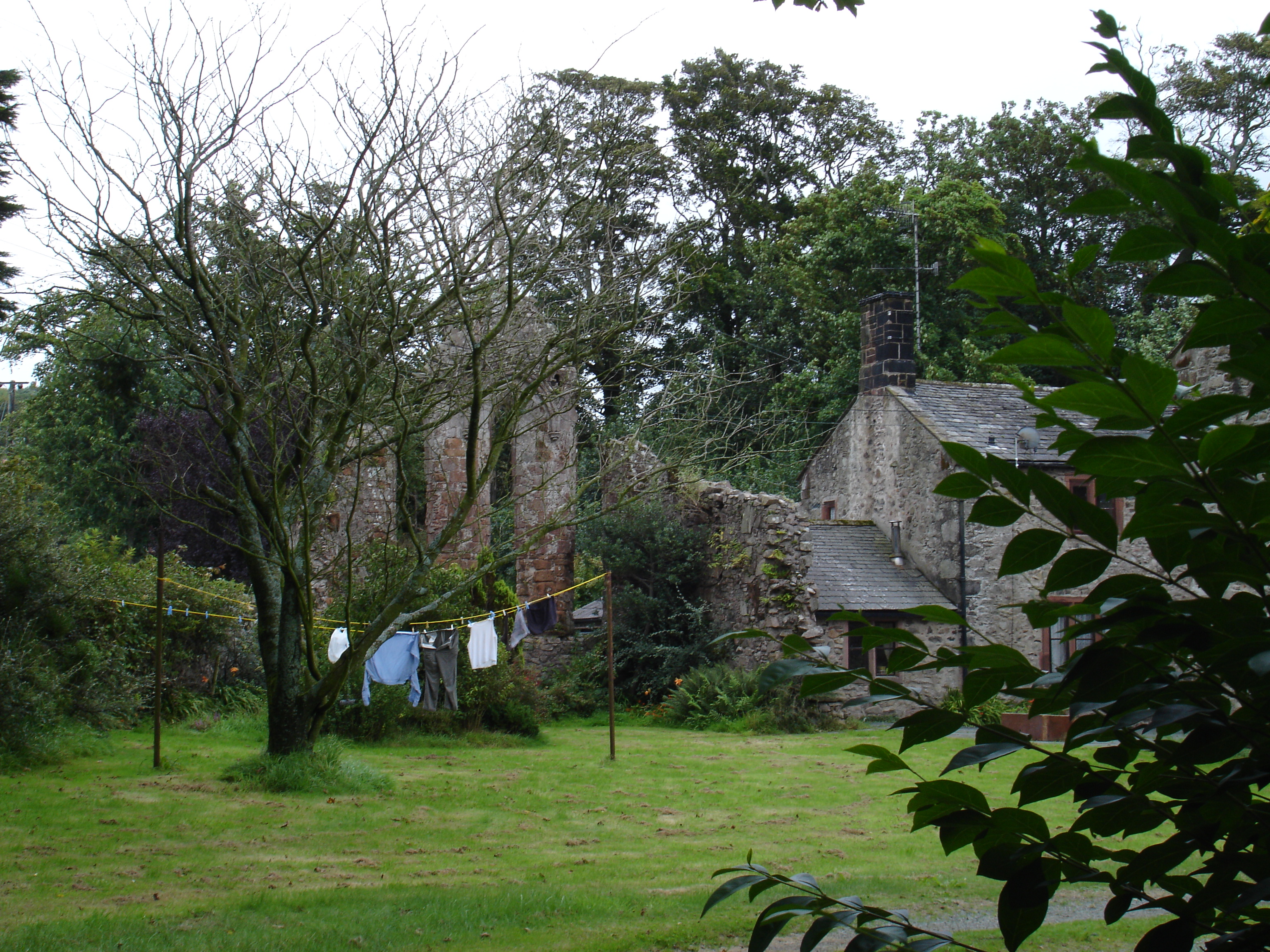
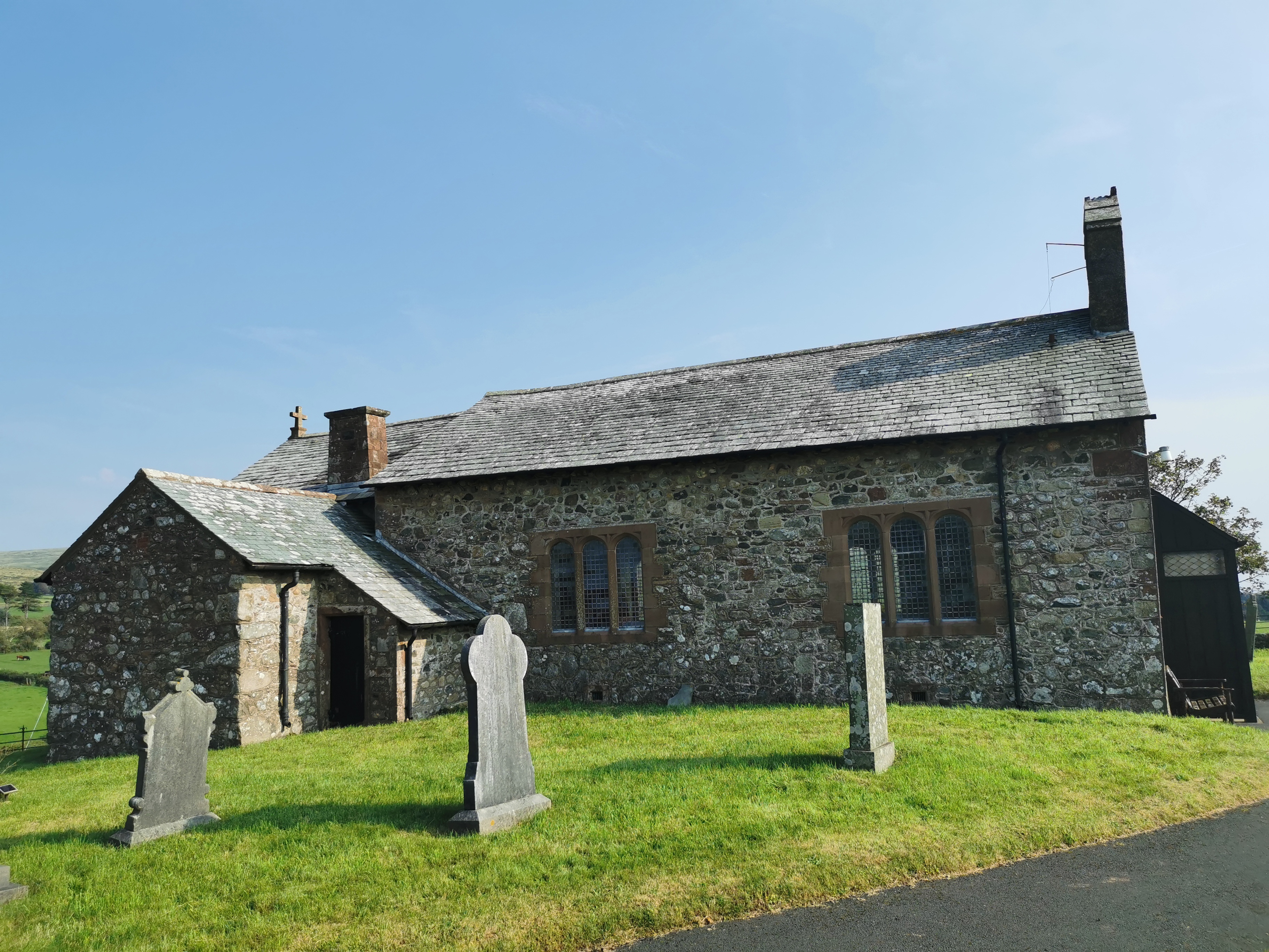
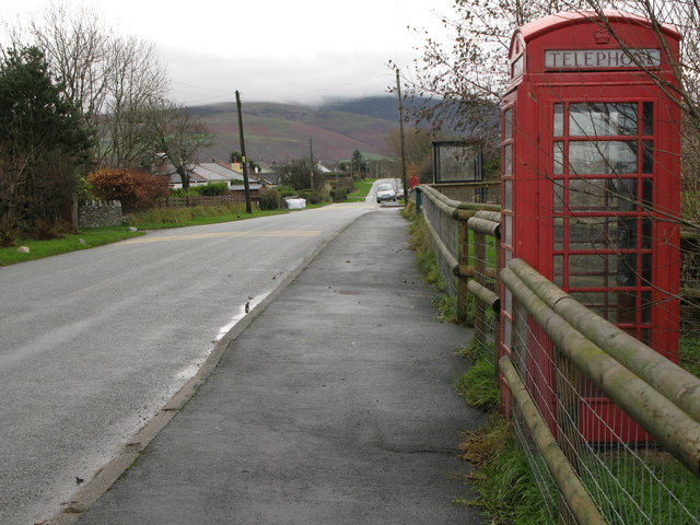
Corney Hill Images

Images are sourced within 2km of 54.303019/-3.3688843 or Grid Reference SD1190. Thanks to Geograph Open Source API. All images are credited.

The line to Carlisle Taken from the level crossing at Bootle station.
The line to Carlisle
Taken from the level crossing at Bootle station.
Ordnance Survey Rivet This OS rivet can be found on the east end of the south parapet of the Railway Bridge. It marks a point 24.707m above mean sea level.
Ordnance Survey Rivet
This OS rivet can be found on the east end of the south parapet of the Railway Bridge. It marks a point 24.707m above mean sea level.
Railway Bridge Railway bridge north of Bootle, Cumbria.
Railway Bridge
Railway bridge north of Bootle, Cumbria.
A595 northbound near Ford House
Gateway and fields Gateway and fields looking towards Flatts Farm
Gateway and fields
Gateway and fields looking towards Flatts Farm
Ordnance Survey Cut Mark This OS cut mark can be found on the north angle of the barn at Crosshouse Farm. It marks a point 33.132m above mean sea level.
Ordnance Survey Cut Mark
This OS cut mark can be found on the north angle of the barn at Crosshouse Farm. It marks a point 33.132m above mean sea level.
Grazing near Seaton Hall Off the A595.
Grazing near Seaton Hall
Off the A595.
A595 north of Bootle Towards Muncaster.
A595 north of Bootle
Towards Muncaster.
Ordnance Survey Cut Mark This OS cut mark can be found on the wall north side of the road. It marks a point 67.919m above mean sea level.
Ordnance Survey Cut Mark
This OS cut mark can be found on the wall north side of the road. It marks a point 67.919m above mean sea level.
Ordnance Survey Rivet This OS rivet can be found on the wall NW side of the road. It marks a point 86.859m above mean sea level.
Ordnance Survey Rivet
This OS rivet can be found on the wall NW side of the road. It marks a point 86.859m above mean sea level.
Ordnance Survey Cut Mark This OS cut mark can be found on the wall west side of the road. It marks a point 107.982m above mean sea level.
Ordnance Survey Cut Mark
This OS cut mark can be found on the wall west side of the road. It marks a point 107.982m above mean sea level.
Ordnance Survey Cut Mark This OS cut mark can be found on the concrete gatepost north side of the road. It marks a point 44.519m above mean sea level.
Ordnance Survey Cut Mark
This OS cut mark can be found on the concrete gatepost north side of the road. It marks a point 44.519m above mean sea level.
Railway Signalling Equipment
Over grown entrance to High Mill
The road to Seaton Hall
Public Bridleway Bridleway to Hycemoor
Public Bridleway
Bridleway to Hycemoor
Show me another place!

Corney Hill is located at Grid Ref: SD1190 (Lat: 54.303019, Lng: -3.3688843)

Administrative County: Cumbria

District: Copeland

Police Authority: Cumbria

What 3 Words

///across.compress.amounting. Near Millom, Cumbria

Related Wikis

Nearby Amenities

Located within 500m of 54.303019,-3.3688843
Power: pole
Lat/Long: 54.3003005/-3.3635541
Power: pole
Lat/Long: 54.3010133/-3.3634572
Power: pole
Lat/Long: 54.3020542/-3.3635166
Power: pole
Lat/Long: 54.3030313/-3.3635916
Power: pole
Lat/Long: 54.3037386/-3.3636353
Power: pole
Lat/Long: 54.3047885/-3.3636884
Power: pole
Lat/Long: 54.3058238/-3.3637665
Power: pole
Lat/Long: 54.3047152/-3.3651547
Power: pole
Lat/Long: 54.3046454/-3.3666219
The data included in this document is from www.openstreetmap.org. The data is made available under ODbL.

Have you been to Corney Hill?

Leave your review of Corney Hill below (or comments, questions and feedback).