Corneyhall Wood

Wood, Forest in Cumberland Copeland

England

Corneyhall Wood

Hedge Close A fine South Cumbrian cottage.
Hedge Close Credit: Andrew Woodhall

Corneyhall Wood is a picturesque forest located in the county of Cumberland, England. Situated in the northwestern part of the county, it covers an area of approximately 200 acres. The woodland is known for its natural beauty and diverse range of flora and fauna.

The forest is predominantly composed of broadleaf trees, including oak, beech, and birch. These trees create a dense canopy, providing shade and shelter for a variety of wildlife species. Corneyhall Wood is home to numerous bird species, such as woodpeckers, owls, and thrushes. Additionally, the forest is inhabited by mammals like red squirrels, badgers, and deer.

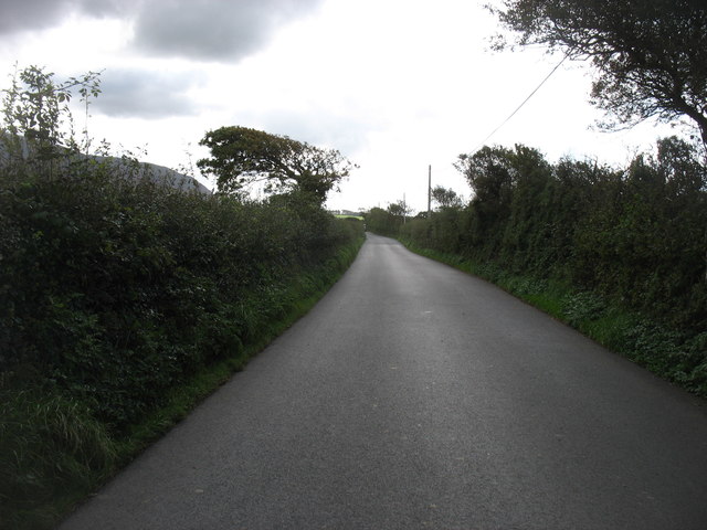
Visitors to the wood can enjoy a network of well-maintained walking trails that wind through the forest. These trails offer an opportunity to immerse oneself in the tranquil surroundings and observe the wildlife in their natural habitat. The forest is particularly stunning during the autumn months when the leaves change color, creating a vibrant and breathtaking landscape.

Corneyhall Wood holds significant historical and cultural importance. It is believed to have been part of the ancient hunting grounds of the local nobility. The forest also played a role in the timber industry, as it provided a source of wood for construction and fuel.

Overall, Corneyhall Wood is a cherished natural treasure in Cumberland, attracting nature enthusiasts, hikers, and those seeking a peaceful escape to immerse themselves in the beauty of nature.

If you have any feedback on the listing, please let us know in the comments section below.

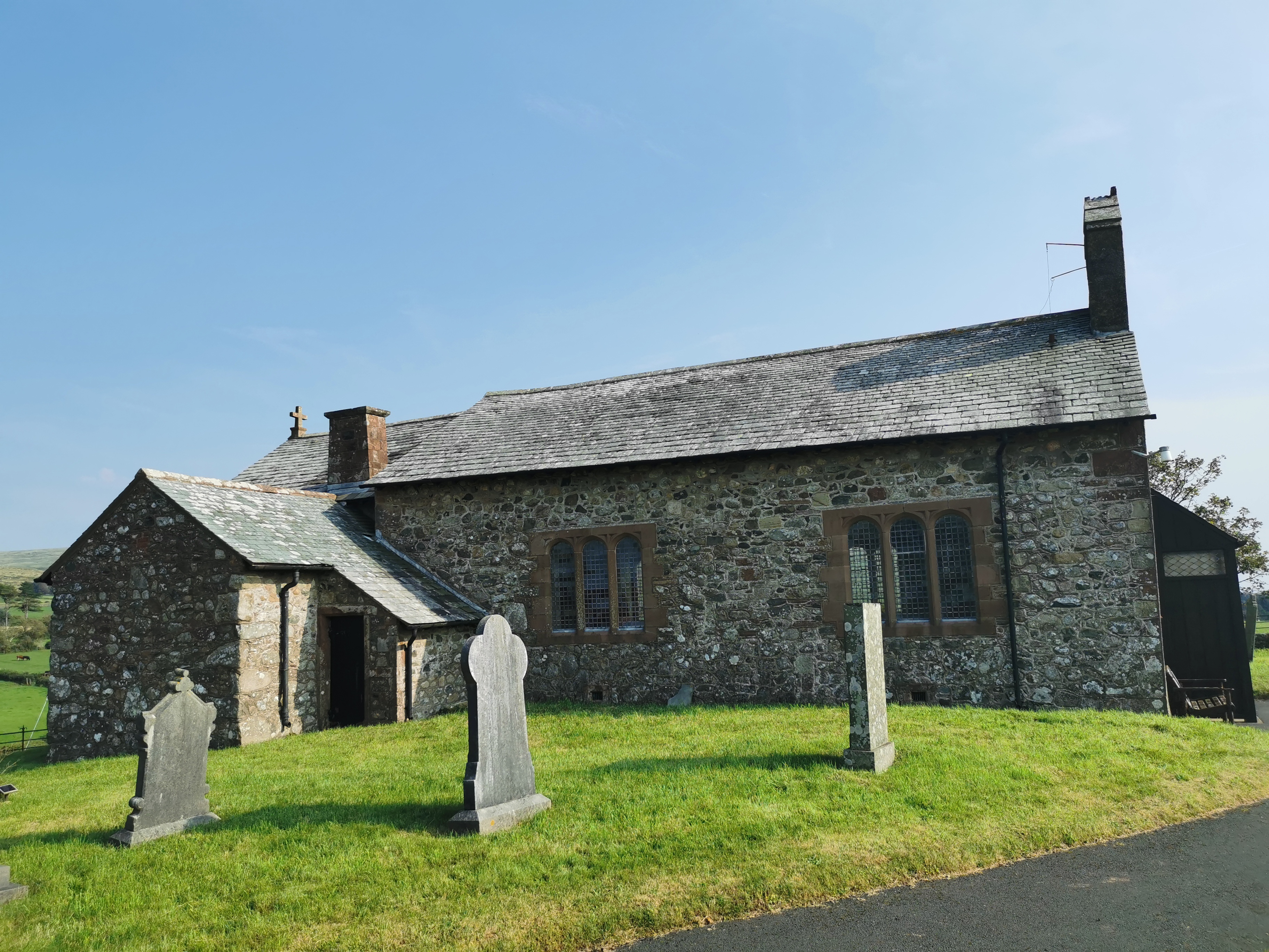
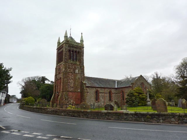
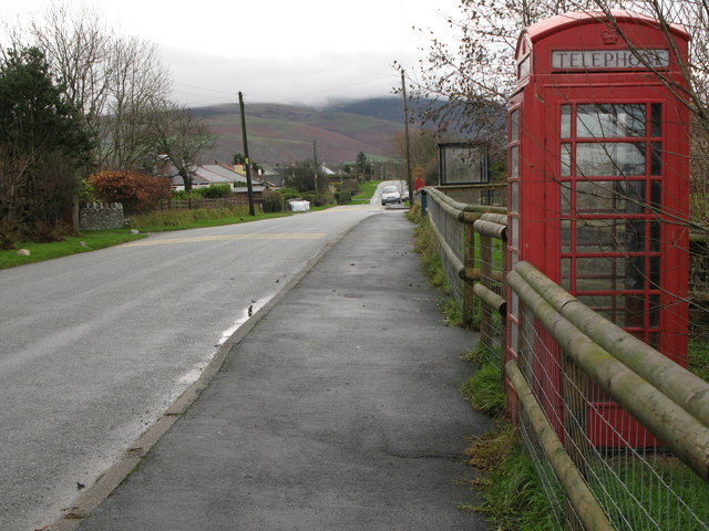
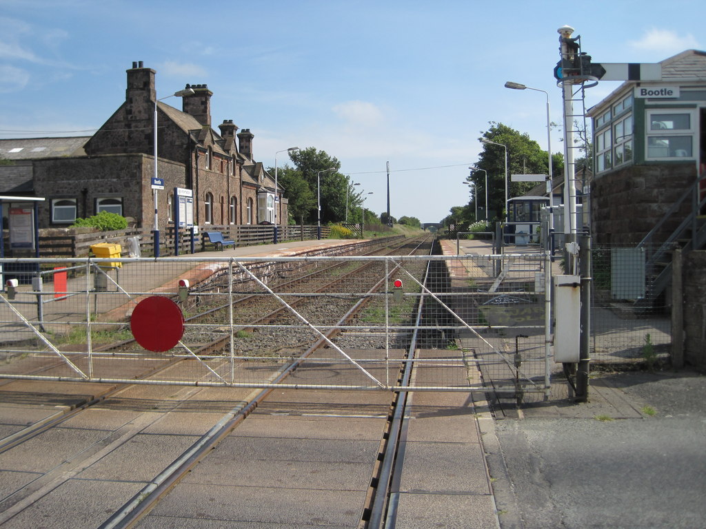
Corneyhall Wood Images

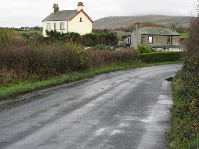
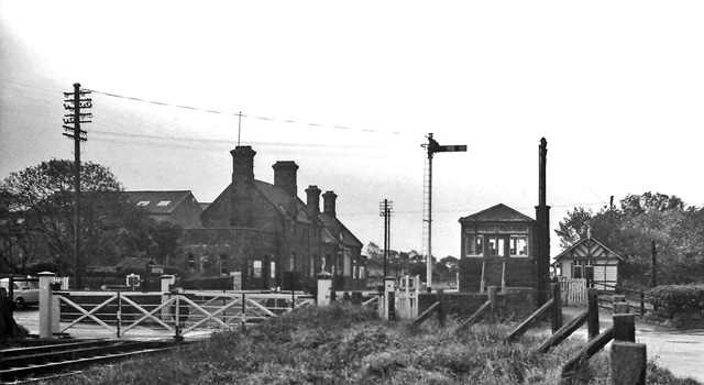
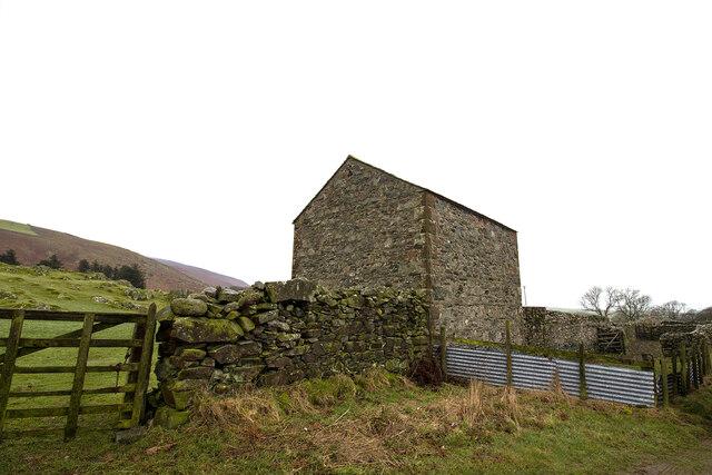
Images are sourced within 2km of 54.299431/-3.3667214 or Grid Reference SD1190. Thanks to Geograph Open Source API. All images are credited.

Hedge Close A fine South Cumbrian cottage.
Hedge Close
A fine South Cumbrian cottage.
Bootle (Cumberland) Station View southward, towards Barrow-in-Furness and Carnforth; ex-Furness Rly. Carnforth - Barrow - Whitehaven secondary main line - still open.  (Near here, in World War Two on 22/3/45, there was a massive explosion when a blazing wagon in a train of depth-charges blew up.  The crew of the engine had very  courageously managed to isolate the burning wagon from the rest of the train so preventing the whole lot going up; the driver was the only person killed and the fireman lived and was awarded the George Medal).
Bootle (Cumberland) Station
View southward, towards Barrow-in-Furness and Carnforth; ex-Furness Rly. Carnforth - Barrow - Whitehaven secondary main line - still open. (Near here, in World War Two on 22/3/45, there was a massive explosion when a blazing wagon in a train of depth-charges blew up. The crew of the engine had very courageously managed to isolate the burning wagon from the rest of the train so preventing the whole lot going up; the driver was the only person killed and the fireman lived and was awarded the George Medal).
Ordnance Survey Cut Mark This OS cut mark can be found on the gatepost east side of the road. It marks a point 23.058m above mean sea level.
Ordnance Survey Cut Mark
This OS cut mark can be found on the gatepost east side of the road. It marks a point 23.058m above mean sea level.
Bootle signal box and crossing gates Bootle station on the Cumbrian coast. The crossing gates are still manually operated by the signalman.
Bootle signal box and crossing gates
Bootle station on the Cumbrian coast. The crossing gates are still manually operated by the signalman.
The line to Carlisle Taken from the level crossing at Bootle station.
The line to Carlisle
Taken from the level crossing at Bootle station.
The lane to Bootle Bootle Station is about a mile from the village, and this lane connects the two.
The lane to Bootle
Bootle Station is about a mile from the village, and this lane connects the two.
Ordnance Survey Cut Mark This OS cut mark can be found on the house which was once the Station Hotel. It marks a point 21.126m above mean sea level.
Ordnance Survey Cut Mark
This OS cut mark can be found on the house which was once the Station Hotel. It marks a point 21.126m above mean sea level.
Ordnance Survey Rivet This OS rivet can be found on the east end of the south parapet of the Railway Bridge. It marks a point 24.707m above mean sea level.
Ordnance Survey Rivet
This OS rivet can be found on the east end of the south parapet of the Railway Bridge. It marks a point 24.707m above mean sea level.
Railway Bridge Railway bridge north of Bootle, Cumbria.
Railway Bridge
Railway bridge north of Bootle, Cumbria.
Bootle (Cumbria) station, 1998 View southward, towards Barrow-in-Furness etc.: ex-Furness Railway Carnforth - Barrow - Whitehaven (Cumbrian Coast) secondary main line. (Cf. <a href="https://www.geograph.org.uk/photo/1854648">SD0989 : Bootle (Cumberland) Station</a>).
Bootle (Cumbria) station, 1998
View southward, towards Barrow-in-Furness etc.: ex-Furness Railway Carnforth - Barrow - Whitehaven (Cumbrian Coast) secondary main line. (Cf. SD0989 : Bootle (Cumberland) Station).
Nuclear flasks train, Bootle, Cumbria Class 47 (47.204) heads a southbound train of flasks of spent nuclear fuel across Church Lane level crossing at Bootle station.  For a short history of the station see  <span class="nowrap"><a title="http://en.wikipedia.org/wiki/Bootle_railway_station" rel="nofollow ugc noopener" href="http://en.wikipedia.org/wiki/Bootle_railway_station">Link</a><img style="margin-left:2px;" alt="External link" title="External link - shift click to open in new window" src="https://s1.geograph.org.uk/img/external.png" width="10" height="10"/></span>.
Nuclear flasks train, Bootle, Cumbria
Class 47 (47.204) heads a southbound train of flasks of spent nuclear fuel across Church Lane level crossing at Bootle station. For a short history of the station see LinkExternal link.
A595 northbound near Ford House
Field barn and sheep pens Field barn and sheep pens near Bootle village
Field barn and sheep pens
Field barn and sheep pens near Bootle village
Gateway and fields Gateway and fields looking towards Flatts Farm
Gateway and fields
Gateway and fields looking towards Flatts Farm
Ordnance Survey Cut Mark This OS cut mark can be found on the north angle of the barn at Crosshouse Farm. It marks a point 33.132m above mean sea level.
Ordnance Survey Cut Mark
This OS cut mark can be found on the north angle of the barn at Crosshouse Farm. It marks a point 33.132m above mean sea level.
Ordnance Survey 1GL Bolt This OS Bolt can be found on the west face of St Michael's Church. It marks a point 29.5579m above mean sea level.
Ordnance Survey 1GL Bolt
This OS Bolt can be found on the west face of St Michael's Church. It marks a point 29.5579m above mean sea level.
St Michael and all Angels church, Bootle
Bottle Stores and Post Office On Main Street.
Bottle Stores and Post Office
On Main Street.
Show me another place!

Corneyhall Wood is located at Grid Ref: SD1190 (Lat: 54.299431, Lng: -3.3667214)

Administrative County: Cumbria

District: Copeland

Police Authority: Cumbria

What 3 Words

///stuck.brightens.concerts. Near Millom, Cumbria

Related Wikis

Nearby Amenities

Located within 500m of 54.299431,-3.3667214
Power: pole
Lat/Long: 54.2960181/-3.363929
Power: pole
Lat/Long: 54.2968079/-3.3640843
Power: pole
Lat/Long: 54.2974018/-3.3639946
Power: pole
Lat/Long: 54.2983809/-3.363854
Power: pole
Lat/Long: 54.299338/-3.3636978
Power: pole
Lat/Long: 54.3003005/-3.3635541
Power: pole
Lat/Long: 54.3010133/-3.3634572
Power: pole
Lat/Long: 54.3020542/-3.3635166
Power: pole
Lat/Long: 54.3030313/-3.3635916
Power: pole
Lat/Long: 54.29617/-3.3623389
Power: pole
Lat/Long: 54.2968089/-3.3656341
Power: pole
Lat/Long: 54.2968028/-3.3673
Power: pole
Lat/Long: 54.2968151/-3.3696467
Power: pole
Lat/Long: 54.2971364/-3.3708816
Power: pole
Lat/Long: 54.2974567/-3.3721957
The data included in this document is from www.openstreetmap.org. The data is made available under ODbL.

Have you been to Corneyhall Wood?

Leave your review of Corneyhall Wood below (or comments, questions and feedback).