Black Cleuch
Valley in Peeblesshire
Scotland
Black Cleuch
Black Cleuch is a picturesque valley located in Peeblesshire, Scotland. Nestled within the Southern Uplands, it is a haven for nature lovers and outdoor enthusiasts. The valley is situated approximately 3 miles south of the town of Peebles, making it easily accessible for visitors.
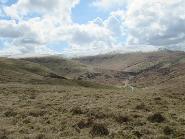
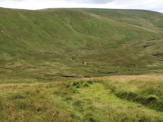
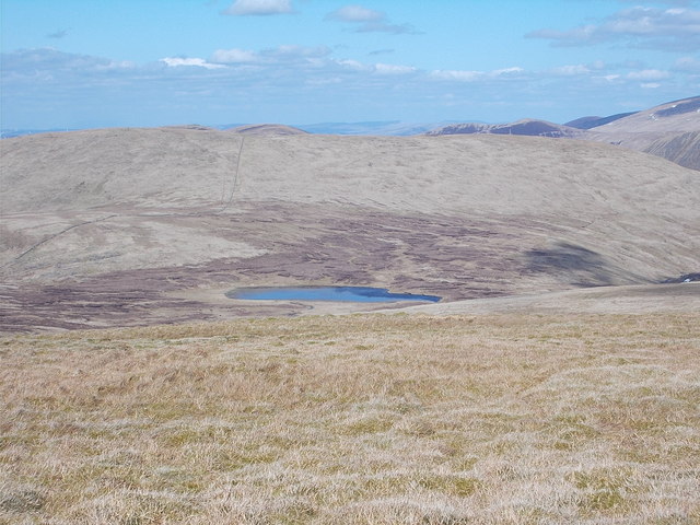
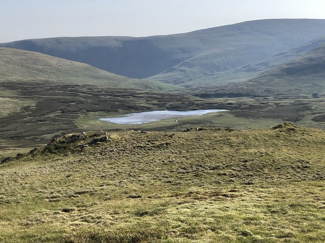
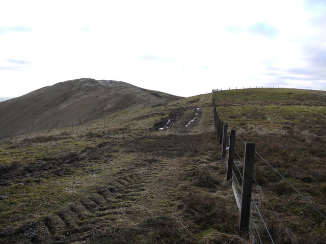
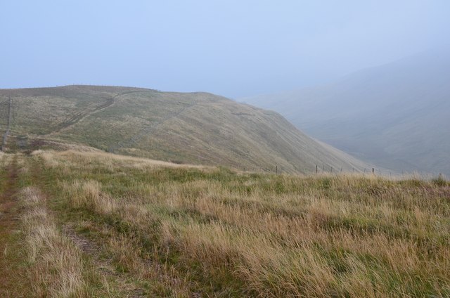
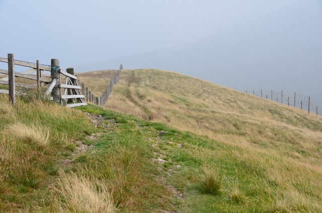
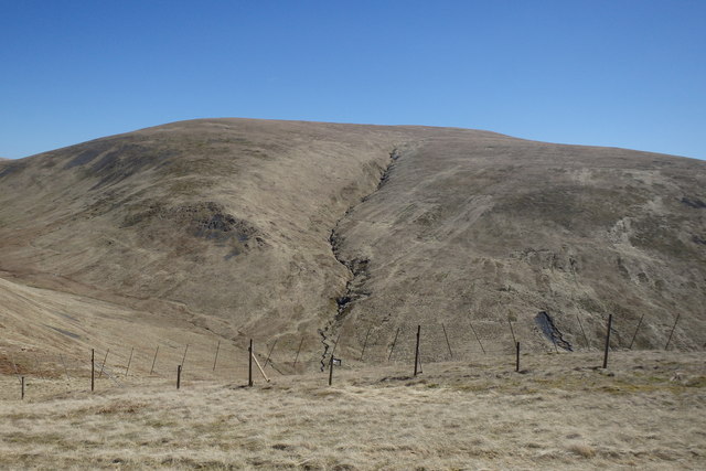
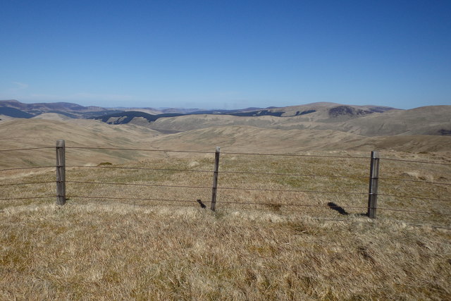
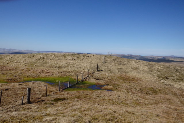
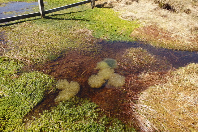
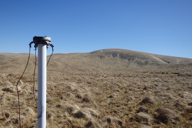
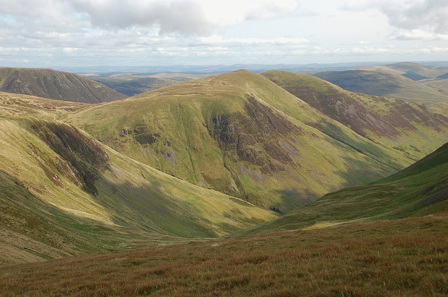
The landscape of Black Cleuch is characterized by rolling hills, dense woodlands, and the meandering Black Cleuch Burn that flows through the valley, giving it its name. The valley is renowned for its stunning natural beauty, with breathtaking views and an abundance of wildlife.
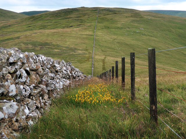
The area is a popular destination for hikers and walkers, with numerous trails and paths crisscrossing the valley. These routes offer a range of difficulty levels, catering to both beginners and experienced trekkers. Along the way, visitors can enjoy the sight of native flora and fauna, including wildflowers, birds, and occasionally deer.
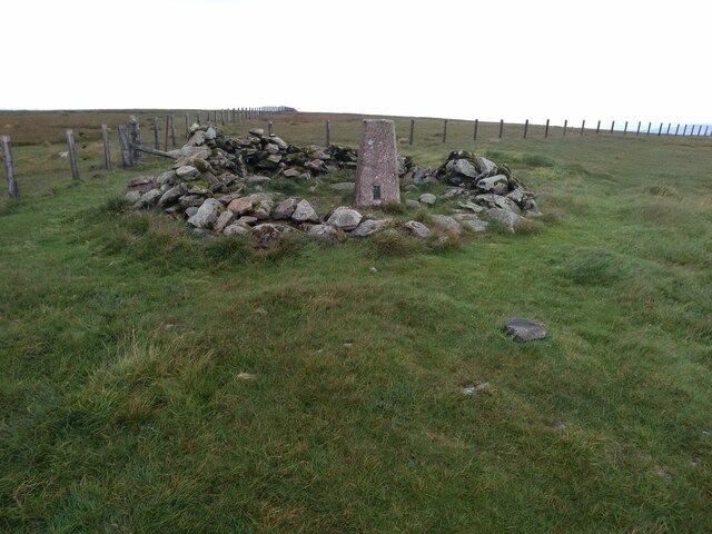
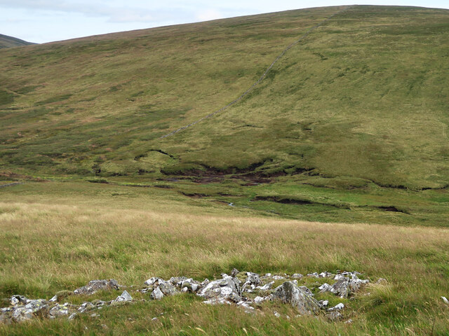
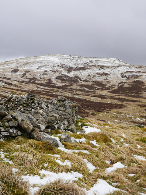
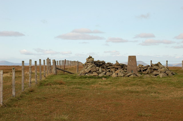
Black Cleuch is also home to several historical sites and landmarks. The remnants of a 19th-century lead mine can still be seen, serving as a reminder of the valley's industrial past. Additionally, the area is dotted with old farmsteads and ruins, providing a glimpse into the region's rich history.
For those seeking tranquility and an escape from the hustle and bustle of everyday life, Black Cleuch offers a serene and idyllic setting. Whether it's exploring the trails, immersing oneself in nature, or simply enjoying the breathtaking views, this valley in Peeblesshire is a must-visit destination for nature enthusiasts and history buffs alike.
If you have any feedback on the listing, please let us know in the comments section below.
Black Cleuch Images
Images are sourced within 2km of 55.425693/-3.4054585 or Grid Reference NT1115. Thanks to Geograph Open Source API. All images are credited.
Black Cleuch is located at Grid Ref: NT1115 (Lat: 55.425693, Lng: -3.4054585)
Unitary Authority: The Scottish Borders
Police Authority: The Lothians and Scottish Borders
What 3 Words
///array.strongly.hometown. Near Moffat, Dumfries & Galloway
Nearby Locations
Related Wikis

Moffat Hills
The Moffat Hills are a range of hills in the Southern Uplands of Scotland. They form a roughly triangular shape with a west facing side, a north facing...

Hart Fell
Hart Fell is a hill in the Moffat Hills range, part of the Southern Uplands of Scotland. It lies north of the town of Moffat on the border with the Scottish...

Fruid Reservoir
Fruid is a small reservoir in the Scottish Borders area of Scotland, UK, near Menzion. It is formed by damming the Fruid Water, and supplements the contents...

White Coomb
White Coomb is a hill in the Moffat Hills range, part of the Southern Uplands of Scotland. Its broad summit is the highest point in the range and the registration...

Talla Water
Talla Water is a river in the Scottish Borders area of Scotland, near Tweedsmuir. It feeds the Talla Reservoir, and is a tributary of the River Tweed....

Devil's Beef Tub
The Devil's Beef Tub (Marquis of Annandale's Beef-Tub, Beef-Stand, MacCleran's Loup) is a deep, dramatic hollow in the hills north of the Scottish town...

Loch Skeen
Loch Skeen or Loch Skene is a loch in Dumfries and Galloway in the south of Scotland. It is located about 10 miles to the north-east of Moffat and feeds...

Annanhead Hill
Annanhead Hill is a 478-metre (1,568 ft) summit in the Moffat Hills of Scotland. It lies on the boundary between the Scottish Borders and Dumfries and...
Have you been to Black Cleuch?
Leave your review of Black Cleuch below (or comments, questions and feedback).