Little Black Cleuch
Valley in Peeblesshire
Scotland
Little Black Cleuch
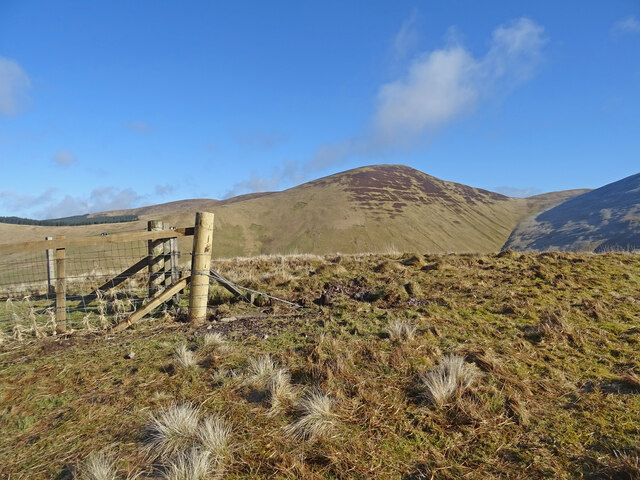
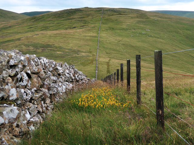
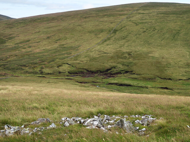
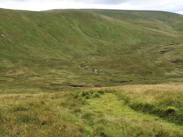
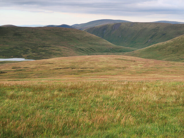
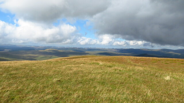
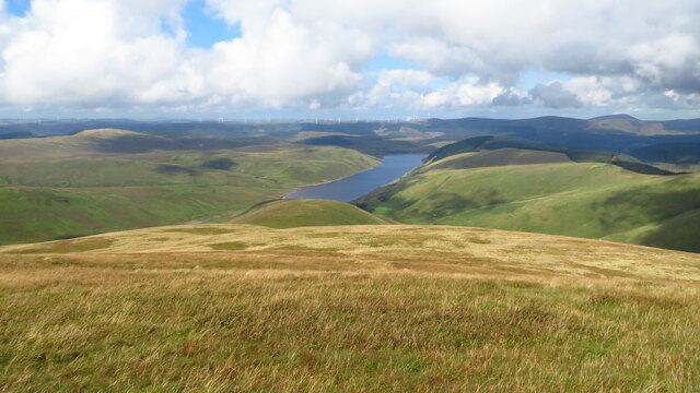
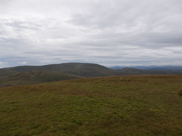
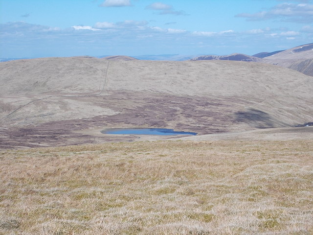
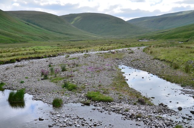
Little Black Cleuch is a picturesque valley located in Peeblesshire, Scotland. Situated in the southern part of the country, this valley is known for its stunning natural beauty and tranquil surroundings. The valley is nestled between rolling hills and is traversed by a small stream, creating a serene and idyllic atmosphere.
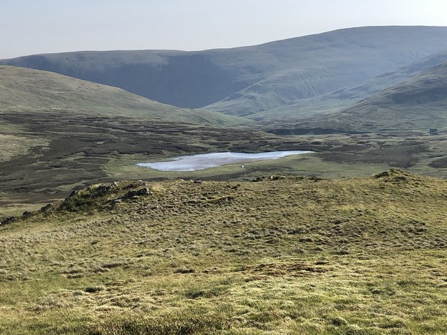
The landscape of Little Black Cleuch is dominated by lush green meadows, dotted with a variety of wildflowers and native plants. The valley is also home to a diverse range of wildlife, including various species of birds, mammals, and insects. Nature enthusiasts and hikers are drawn to this area, as it offers numerous walking trails and paths that allow visitors to explore and immerse themselves in the unspoiled beauty of the Scottish countryside.
The valley is characterized by its undulating terrain, with gentle slopes and occasional rocky outcrops. The stream that runs through Little Black Cleuch adds to the charm of the landscape, shimmering and gurgling as it winds its way through the valley. The sound of running water provides a soothing soundtrack for those who choose to spend time in this peaceful retreat.
Although secluded, Little Black Cleuch is easily accessible by car or on foot. Its remote location ensures a sense of escapism from the hustle and bustle of everyday life, making it an ideal destination for those seeking solitude and a connection with nature. Whether it's a leisurely stroll or a more challenging hike, Little Black Cleuch promises a rejuvenating and enchanting experience for all who venture into its tranquil embrace.
If you have any feedback on the listing, please let us know in the comments section below.
Little Black Cleuch Images
Images are sourced within 2km of 55.428833/-3.4035632 or Grid Reference NT1115. Thanks to Geograph Open Source API. All images are credited.


Little Black Cleuch is located at Grid Ref: NT1115 (Lat: 55.428833, Lng: -3.4035632)
Unitary Authority: The Scottish Borders
Police Authority: The Lothians and Scottish Borders
What 3 Words
///grapevine.backward.depth. Near Moffat, Dumfries & Galloway
Nearby Locations
Related Wikis

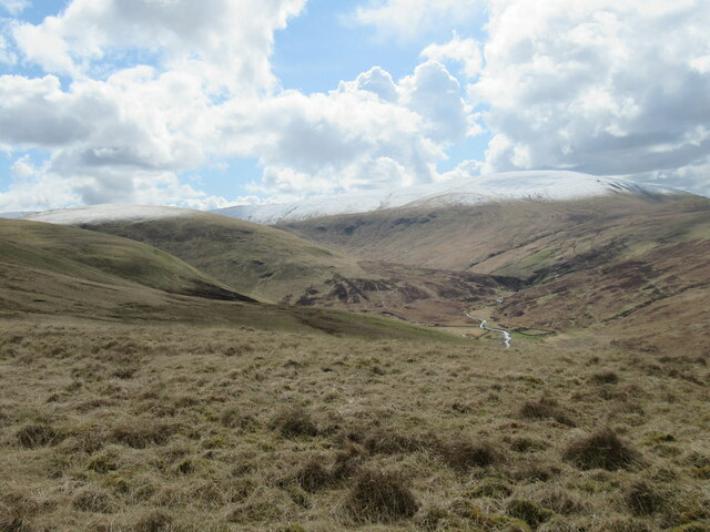
Moffat Hills
The Moffat Hills are a range of hills in the Southern Uplands of Scotland. They form a roughly triangular shape with a west facing side, a north facing...

Hart Fell
Hart Fell is a hill in the Moffat Hills range, part of the Southern Uplands of Scotland. It lies north of the town of Moffat on the border with the Scottish...

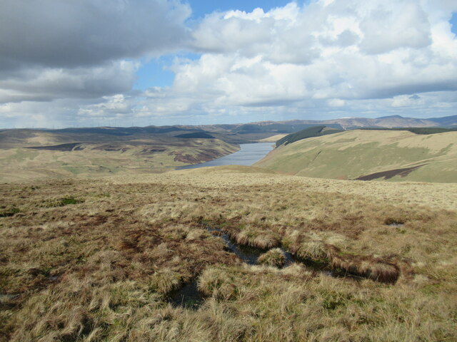
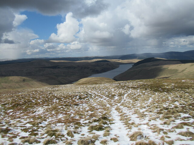
Fruid Reservoir
Fruid is a small reservoir in the Scottish Borders area of Scotland, UK, near Menzion. It is formed by damming the Fruid Water, and supplements the contents...

White Coomb
White Coomb is a hill in the Moffat Hills range, part of the Southern Uplands of Scotland. Its broad summit is the highest point in the range and the registration...
Have you been to Little Black Cleuch?
Leave your review of Little Black Cleuch below (or comments, questions and feedback).