The Glen
Valley in Devon East Devon
England
The Glen

The Glen, Devon (Valley) is a picturesque and enchanting natural landscape located in the county of Devon, England. Situated amidst the rolling hills and verdant meadows, this valley is a haven of tranquility and natural beauty.
The Glen spans over an area of approximately 200 acres and is characterized by its lush greenery, meandering streams, and towering trees. The valley is known for its diverse flora and fauna, which includes a variety of wildflowers, ferns, and ancient oak trees. The gentle babbling of the streams and the chirping of birds create a soothing and peaceful ambiance that attracts visitors from far and wide.
The Glen offers a range of recreational activities for nature enthusiasts and outdoor adventurers. There are numerous walking trails that wind through the valley, allowing visitors to explore its hidden gems at their own pace. The trails offer stunning views of the surrounding countryside and provide opportunities for birdwatching and wildlife spotting.
In addition to its natural beauty, The Glen also holds historical significance. It is believed that the valley was once home to a small settlement, dating back to the Bronze Age. Archaeological finds such as pottery shards and tools have been discovered in the area, shedding light on the early inhabitants of the valley.
Overall, The Glen, Devon (Valley) is a captivating destination that offers a peaceful retreat for those seeking solace in nature. Whether it's a leisurely stroll, birdwatching, or simply enjoying the serenity of the surroundings, this valley is a must-visit for nature lovers and history enthusiasts alike.
If you have any feedback on the listing, please let us know in the comments section below.
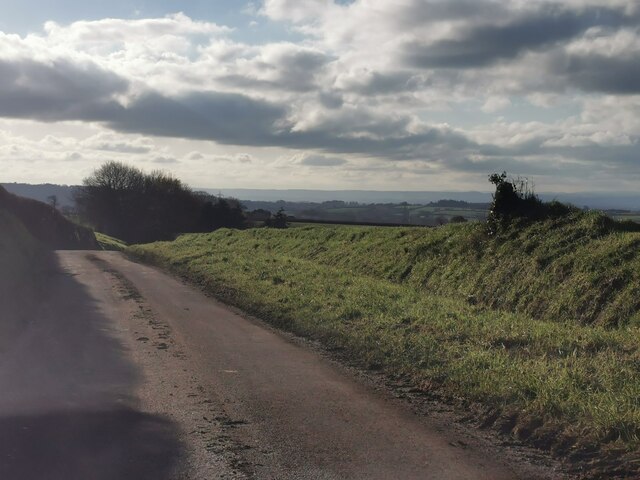
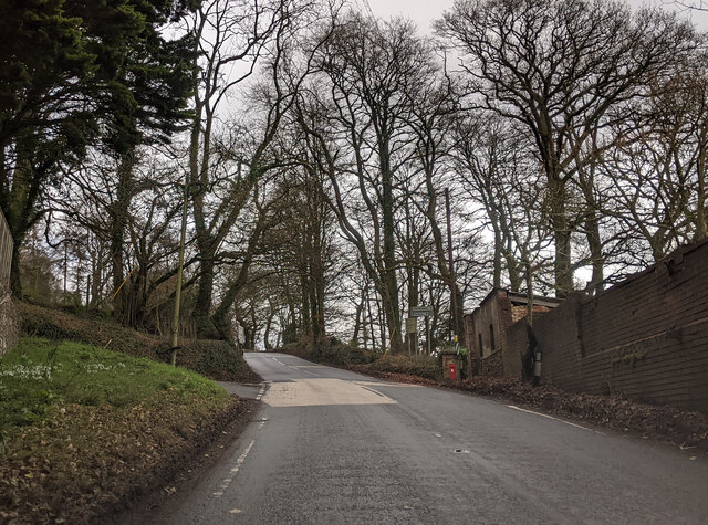
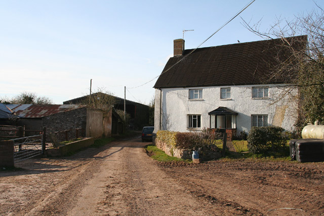
The Glen Images
Images are sourced within 2km of 50.809289/-3.2627329 or Grid Reference ST1101. Thanks to Geograph Open Source API. All images are credited.


The Glen is located at Grid Ref: ST1101 (Lat: 50.809289, Lng: -3.2627329)
Administrative County: Devon
District: East Devon
Police Authority: Devon and Cornwall
What 3 Words
///lightbulb.drizzly.pancakes. Near Honiton, Devon
Nearby Locations
Related Wikis

Hembury
Hembury is a Neolithic causewayed enclosure and Iron Age hillfort near Honiton in Devon. Its history stretches from the late fifth and early fourth millennia...

Buckerell
Buckerell is a small village and civil parish in the East Devon district of Devon, England. The village is about 2.5 miles west of the nearest town, Honiton...

Payhembury
Payhembury is a village and civil parish in the East Devon district of Devon, England. The village is about six miles west of Honiton. At the time of...

Awliscombe
Awliscombe is a village and civil parish in the East Devon district of Devon, England. The village is about two miles west of Honiton. The 2011 census...
Have you been to The Glen?
Leave your review of The Glen below (or comments, questions and feedback).