Rentlet Plantation
Wood, Forest in Devon East Devon
England
Rentlet Plantation

Rentlet Plantation is a sprawling woodland located in the picturesque county of Devon, England. Situated amidst the idyllic countryside, this plantation covers a vast area and is renowned for its rich biodiversity and stunning natural beauty. The plantation is predominantly composed of various species of mature trees, including oak, beech, and elm, which create a dense and enchanting forest.
The woodland is well-known for its well-preserved ecosystem, providing a habitat for a diverse range of flora and fauna. It serves as a sanctuary for numerous bird species, including rare ones such as the pied flycatcher and the redstart. Additionally, Rentlet Plantation is home to an array of mammals, including foxes, badgers, and deer, which can often be spotted by visitors exploring the area.
The plantation offers a network of well-maintained trails and footpaths that wind through the forest, allowing visitors to immerse themselves in the tranquility of nature. These paths provide excellent opportunities for walking, hiking, and birdwatching, attracting nature enthusiasts and outdoor lovers from far and wide.
Rentlet Plantation also boasts a variety of recreational activities for visitors to enjoy. The presence of a picnic area makes it an ideal spot for families and groups to gather and enjoy a leisurely day out. In addition, the plantation offers designated areas for camping, providing a unique opportunity for nature lovers to spend a night under the stars in this breathtaking woodland.
With its stunning landscape, diverse wildlife, and ample recreational opportunities, Rentlet Plantation is a hidden gem in Devon that continues to captivate visitors with its natural charm and tranquility.
If you have any feedback on the listing, please let us know in the comments section below.
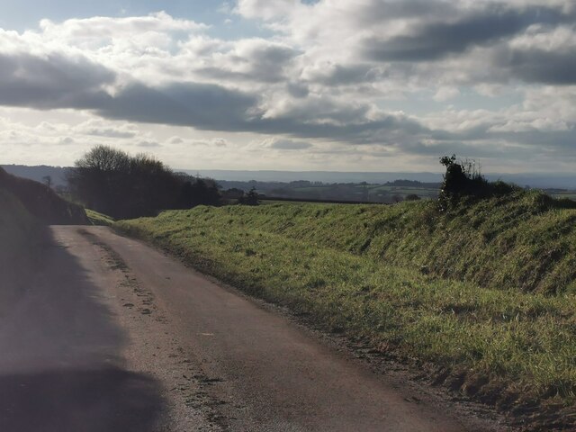
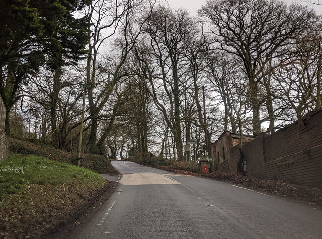
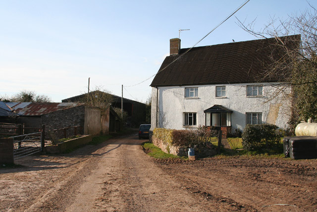
Rentlet Plantation Images
Images are sourced within 2km of 50.809818/-3.2628323 or Grid Reference ST1101. Thanks to Geograph Open Source API. All images are credited.


Rentlet Plantation is located at Grid Ref: ST1101 (Lat: 50.809818, Lng: -3.2628323)
Administrative County: Devon
District: East Devon
Police Authority: Devon and Cornwall
What 3 Words
///stubborn.rank.galloping. Near Honiton, Devon
Nearby Locations
Related Wikis

Hembury
Hembury is a Neolithic causewayed enclosure and Iron Age hillfort near Honiton in Devon. Its history stretches from the late fifth and early fourth millennia...

Buckerell
Buckerell is a small village and civil parish in the East Devon district of Devon, England. The village is about 2.5 miles west of the nearest town, Honiton...

Awliscombe
Awliscombe is a village and civil parish in the East Devon district of Devon, England. The village is about two miles west of Honiton. The 2011 census...

Payhembury
Payhembury is a village and civil parish in the East Devon district of Devon, England. The village is about six miles west of Honiton. At the time of...
Have you been to Rentlet Plantation?
Leave your review of Rentlet Plantation below (or comments, questions and feedback).