Combe Bottom
Valley in Devon Mid Devon
England
Combe Bottom
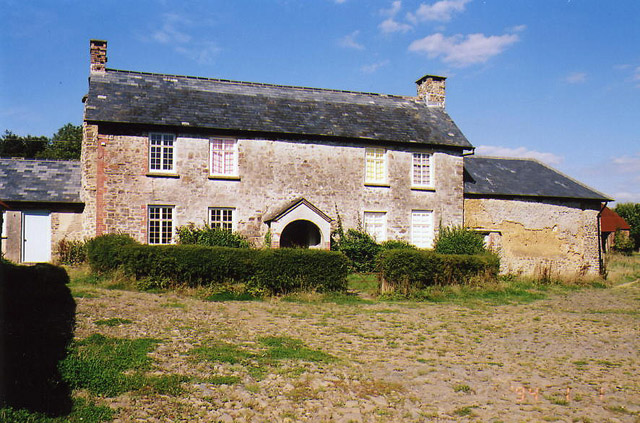
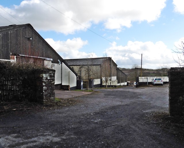
![Oakford: Spurway Barton Derelict outbuildings near a ruined farmhouse. A public footpath runs by. The Spurway family had settled here by 1244 and the property remained in the family's hands until well into the 20th century [Source: W G Hoskins. Devon. 1992]](https://s3.geograph.org.uk/photos/08/81/088147_fea2feb3.jpg)
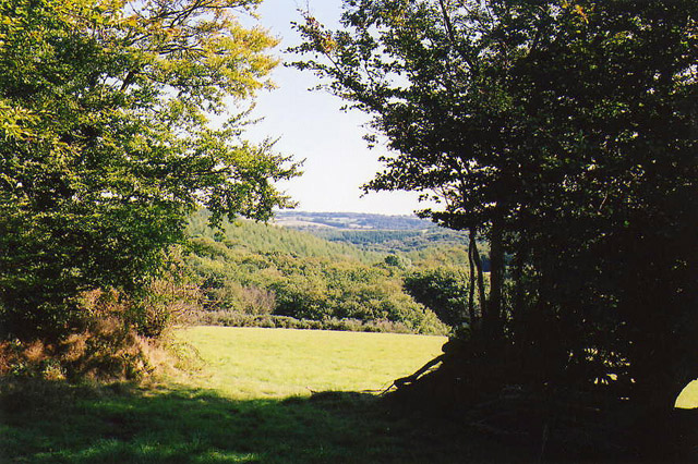
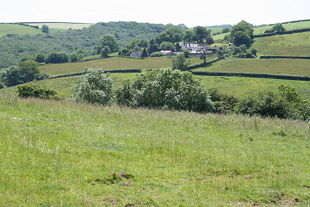
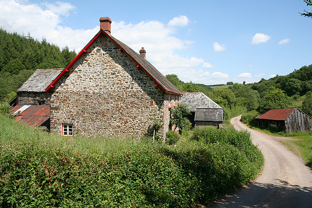
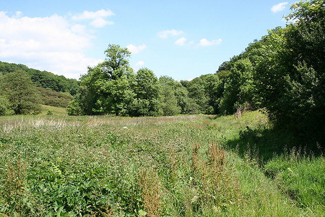
Combe Bottom is a picturesque valley located in the county of Devon, England. Nestled in the heart of the stunning Dartmoor National Park, it offers visitors a serene and tranquil escape from the hustle and bustle of everyday life.
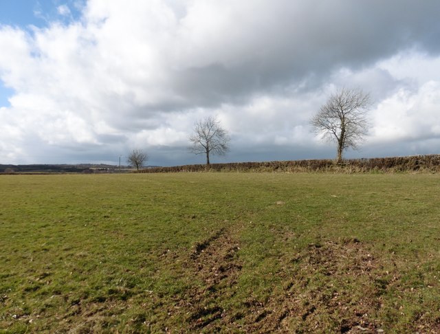
This charming valley is characterized by its lush green meadows, rolling hills, and a winding river that meanders through the landscape. Combe Bottom is renowned for its natural beauty, attracting hikers, nature enthusiasts, and photographers alike. The valley is home to a diverse range of flora and fauna, including rare species such as the Dartford Warbler and the Marsh Fritillary butterfly.
The landscape of Combe Bottom is a product of its geological history. The valley was carved out by ancient glaciers during the last Ice Age, leaving behind a deep, U-shaped valley with steep sides. This unique topography creates a sense of intimacy and seclusion, as if one has stumbled upon a hidden gem in the wilderness.
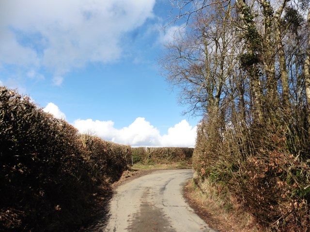
For those seeking outdoor adventure, Combe Bottom offers a network of walking trails that cater to all abilities. From leisurely strolls along the riverbank to challenging hikes up the surrounding hills, there is something for everyone to enjoy. The valley also provides opportunities for fishing, picnicking, and even wild swimming in the crystal-clear waters of the river.
Combe Bottom is a place of natural beauty and tranquility, offering visitors a chance to immerse themselves in the wonders of Dartmoor National Park. Whether it's exploring the diverse flora and fauna, embarking on an exhilarating hike, or simply enjoying the peaceful ambiance, this hidden gem is sure to captivate all who venture into its embrace.
If you have any feedback on the listing, please let us know in the comments section below.
Combe Bottom Images
Images are sourced within 2km of 50.982379/-3.5766681 or Grid Reference SS8921. Thanks to Geograph Open Source API. All images are credited.

Combe Bottom is located at Grid Ref: SS8921 (Lat: 50.982379, Lng: -3.5766681)
Administrative County: Devon
District: Mid Devon
Police Authority: Devon and Cornwall
What 3 Words
///systems.suckle.imprints. Near Dulverton, Somerset
Nearby Locations
Related Wikis

Oakford, Devon
Oakford is a village and civil parish in the Mid Devon district of Devon, England. It is located three miles (5 km) south west of Bampton and eight miles...

Oakfordbridge
Oakfordbridge is a village in Devon, England. == References == The geographic coordinates are from the Ordnance Survey. == External links == Media related...

Briggins Moor
Briggins Moor is a 15.3 hectare biological Site of Special Scientific Interest in Somerset, notified in 1994. The site is south of Dulverton and close...

Stoodleigh
Stoodleigh is a village and civil parish in the Mid Devon district of Devon, England, located 6 miles (10 km) north of Tiverton and 5 miles (8 km) south...
Nearby Amenities
Located within 500m of 50.982379,-3.5766681Have you been to Combe Bottom?
Leave your review of Combe Bottom below (or comments, questions and feedback).