Dealy's Wood
Wood, Forest in Devon Mid Devon
England
Dealy's Wood
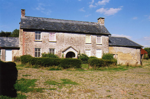
![Oakford: Spurway Barton Derelict outbuildings near a ruined farmhouse. A public footpath runs by. The Spurway family had settled here by 1244 and the property remained in the family's hands until well into the 20th century [Source: W G Hoskins. Devon. 1992]](https://s3.geograph.org.uk/photos/08/81/088147_fea2feb3.jpg)
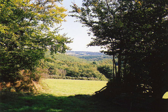
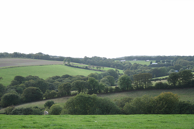
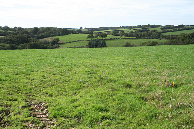
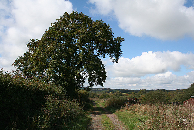
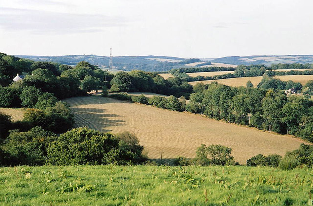
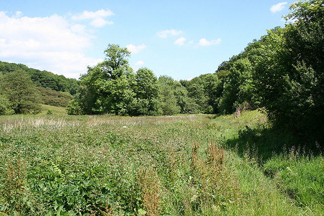
Dealy's Wood is a picturesque forest located in Devon, England. Covering an area of approximately 500 acres, this woodland is known for its natural beauty and diverse range of flora and fauna. It is situated in a remote and tranquil part of Devon, making it an ideal destination for nature lovers and outdoor enthusiasts.
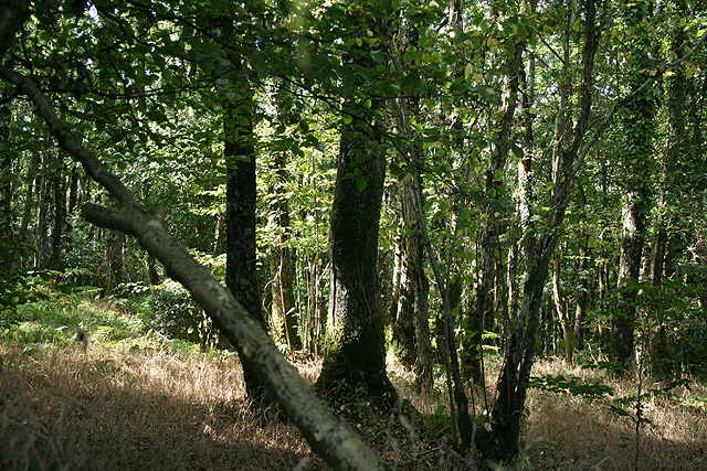
The wood is characterized by its dense canopy of trees, predominantly consisting of oak, beech, and ash. These towering trees provide a habitat for a variety of wildlife, including deer, foxes, badgers, and an array of bird species. It is not uncommon to spot a red squirrel darting through the branches or catch a glimpse of a buzzard soaring overhead.
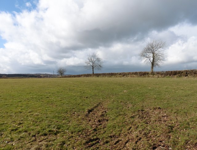
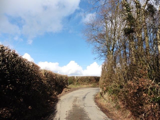
Dealy's Wood offers several walking trails that wind through its enchanting scenery. The trails vary in length and difficulty, catering to both experienced hikers and casual strollers. Along these paths, visitors can enjoy the sights and sounds of babbling brooks, wildflowers, and ancient stone walls that provide a glimpse into the area's rich history.
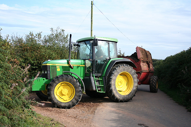
Historically, Dealy's Wood has been used for timber production, and remnants of old sawmills and charcoal kilns can still be found scattered throughout the forest. These remnants add a touch of nostalgia and serve as a reminder of the area's past.
Overall, Dealy's Wood is a captivating destination that allows visitors to immerse themselves in nature and experience the tranquility of a traditional English woodland. Whether exploring its trails, observing wildlife, or simply enjoying a picnic amidst its beauty, this forest offers a serene escape from the hustle and bustle of everyday life.
If you have any feedback on the listing, please let us know in the comments section below.
Dealy's Wood Images
Images are sourced within 2km of 50.983137/-3.577862 or Grid Reference SS8921. Thanks to Geograph Open Source API. All images are credited.

Dealy's Wood is located at Grid Ref: SS8921 (Lat: 50.983137, Lng: -3.577862)
Administrative County: Devon
District: Mid Devon
Police Authority: Devon and Cornwall
What 3 Words
///scared.define.disco. Near Dulverton, Somerset
Nearby Locations
Related Wikis

Oakford, Devon
Oakford is a village and civil parish in the Mid Devon district of Devon, England. It is located three miles (5 km) south west of Bampton and eight miles...

Oakfordbridge
Oakfordbridge is a village in Devon, England. == References == The geographic coordinates are from the Ordnance Survey. == External links == Media related...

Briggins Moor
Briggins Moor is a 15.3 hectare biological Site of Special Scientific Interest in Somerset, notified in 1994. The site is south of Dulverton and close...

Stoodleigh
Stoodleigh is a village and civil parish in the Mid Devon district of Devon, England, located 6 miles (10 km) north of Tiverton and 5 miles (8 km) south...
Nearby Amenities
Located within 500m of 50.983137,-3.577862Have you been to Dealy's Wood?
Leave your review of Dealy's Wood below (or comments, questions and feedback).