Barr Common
Settlement in Staffordshire
England
Barr Common
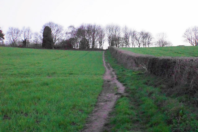
Barr Common is a picturesque area located in Staffordshire, England. Covering an area of approximately 138 hectares, it is situated near the town of Walsall, just a few miles north of Birmingham. The common is known for its beautiful landscape, featuring a mixture of woodlands, heathland, and open grasslands.
The common is home to a diverse range of flora and fauna, making it a popular destination for nature lovers and wildlife enthusiasts. Visitors can expect to see a variety of bird species, including woodpeckers, warblers, and finches. The woodlands are also home to a thriving population of deer, adding to the area's charm and natural beauty.
In addition to its natural attractions, Barr Common offers several amenities for visitors to enjoy. There are well-maintained walking trails that crisscross the common, providing opportunities for leisurely strolls or more challenging hikes. These paths lead visitors through different habitats, giving them a chance to experience the area's rich biodiversity up close.
There are also picnic areas and benches scattered throughout the common, allowing visitors to take a break and enjoy the tranquil surroundings. Furthermore, the common is equipped with ample parking facilities, making it easily accessible for visitors from both nearby towns and further afield.
Overall, Barr Common is a delightful destination for those seeking a peaceful and scenic escape. With its natural beauty, diverse wildlife, and recreational amenities, it offers something for everyone to enjoy.
If you have any feedback on the listing, please let us know in the comments section below.
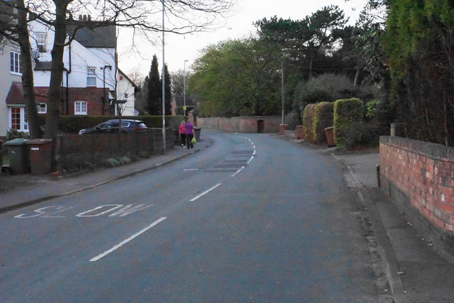
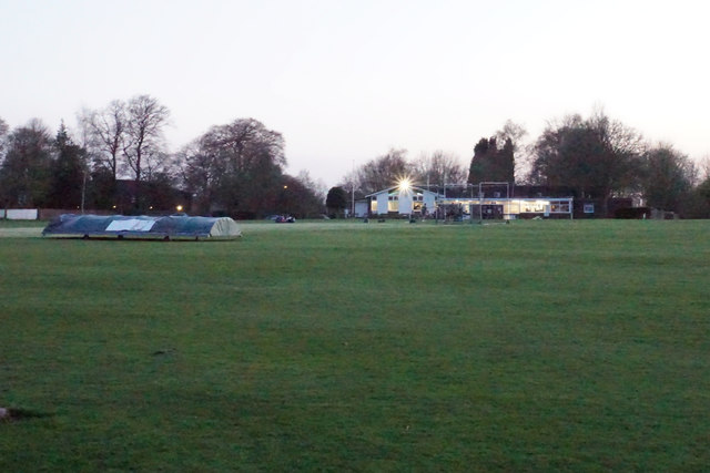
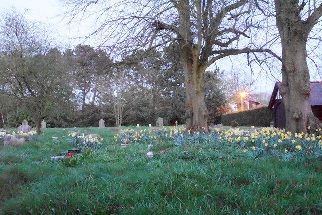
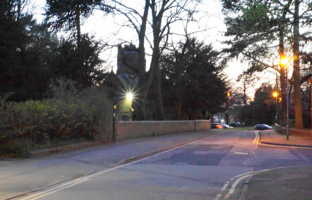
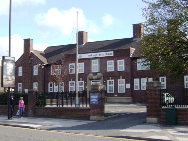
Barr Common Images
Images are sourced within 2km of 52.589552/-1.912139 or Grid Reference SP0699. Thanks to Geograph Open Source API. All images are credited.


Barr Common is located at Grid Ref: SP0699 (Lat: 52.589552, Lng: -1.912139)
Unitary Authority: Walsall
Police Authority: West Midlands
What 3 Words
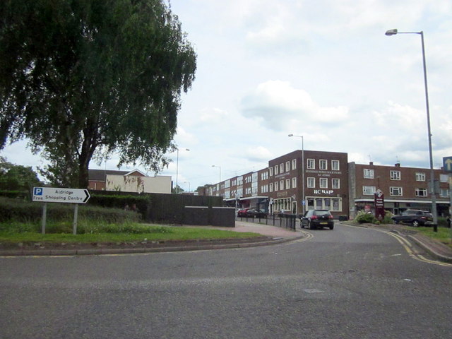
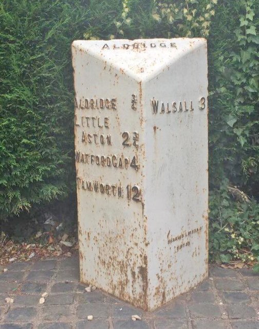
///region.sugars.bucks. Near Aldridge, West Midlands
Nearby Locations
Related Wikis
St Francis of Assisi Catholic College
St. Francis of Assisi Catholic College is a mixed Roman Catholic secondary school in Walsall, England. It was previously known as St Francis of Assisi...

Walsall Rural District
Walsall was a rural district in Staffordshire, England from 1894 to 1934. It was created by the Local Government Act 1894 based on Walsall rural sanitary...
Aldridge-Brownhills Urban District
Aldridge-Brownhills was an urban district in Staffordshire, England from 1966 to 1974. The district was formed in accordance with a recommendation of the...
Aldridge School
Aldridge School is a mixed secondary school and sixth form with academy status located in Aldridge, in the Metropolitan Borough of Walsall in the West...
Hay Head Quarry
Hay Head Quarry (grid reference SP048987) is a 5.8 hectares (14 acres) geological site of Special Scientific Interest in the West Midlands. The site was...

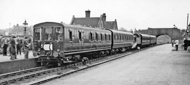
Aldridge railway station
Aldridge railway station is a disused station on the Midland Railway in England. It was opened in 1879 and closed in 1965, although the track through the...
Barr Beacon Reservoir
Barr Beacon Reservoir is a covered, hill-top drinking water reservoir at Barr Beacon, Walsall, England, opened in 1899. It is operated by South Staffs...
Walsall Aerodrome
Walsall Aerodrome, also known as Walsall Airport, Walsall Municipal Airport, and later as Walsall Aldridge Airport was an airport at Aldridge, Staffordshire...
Nearby Amenities
Located within 500m of 52.589552,-1.912139Have you been to Barr Common?
Leave your review of Barr Common below (or comments, questions and feedback).