Barr Common

Wood, Forest in Staffordshire

England

Barr Common

Aldridge station, with Society Special train, 1951 View eastward, towards Castle Bromwich and Birmingham New Street. This was a Stephenson Locomotive Society Special, formed of the auto-train, suitably strengthened, normally employed on the ex-Midland (Birmingham) - Castle Bromwich - Sutton Coldfield - Walsall line (closed 18/1/65); a branch had run from here - behind camera - to Brownhills (Watling Street) until 31/3/30. The locomotive is LMS-type Ivatt 2MT 2-6-2T No. 41226 (built 11/48, withdrawn 9/64).
Aldridge station, with Society Special train, 1951 Credit: Walter Dendy, deceased

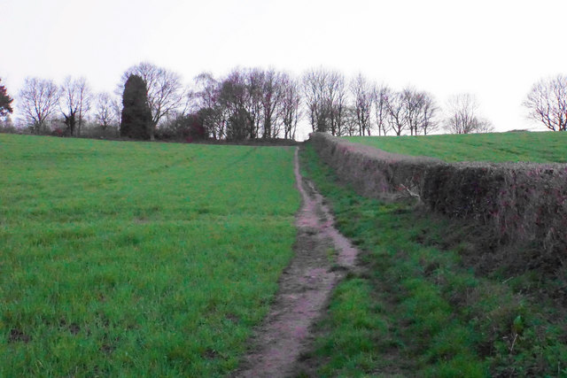
Barr Common is a woodland and forest area located in Staffordshire, England. Covering an approximate area of 200 acres, it is a popular destination for outdoor enthusiasts and nature lovers alike. The common is characterized by its diverse range of tree species, including oak, birch, beech, and pine, which create a picturesque landscape throughout the year.

The common is home to a variety of wildlife, including deer, foxes, rabbits, and numerous species of birds. Birdwatchers can often spot woodpeckers, owls, and various songbirds among the trees. The tranquil atmosphere and abundance of flora and fauna make Barr Common an ideal spot for nature photography and exploration.

Visitors to Barr Common can enjoy a network of well-maintained walking trails that wind through the forest, allowing them to fully immerse themselves in the natural beauty of the area. These trails are suitable for all levels of fitness and provide opportunities for both short leisurely walks and longer hikes.

The common also features several picnic areas, where visitors can relax and enjoy a meal surrounded by the peaceful surroundings. Additionally, there are designated spaces for camping, providing an opportunity for overnight stays in the heart of nature.

Barr Common is easily accessible by car, with ample parking available. It is open to the public throughout the year, offering a serene and refreshing escape from the hustle and bustle of daily life. Whether seeking solitude, adventure, or simply a breath of fresh air, Barr Common is a delightful destination for all nature enthusiasts.

If you have any feedback on the listing, please let us know in the comments section below.
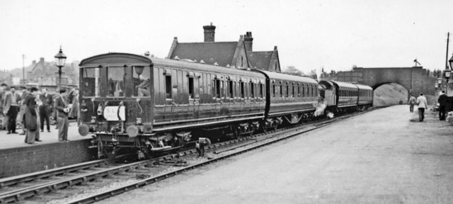
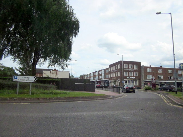
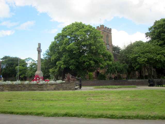
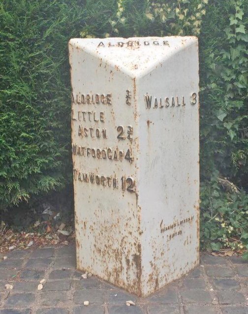
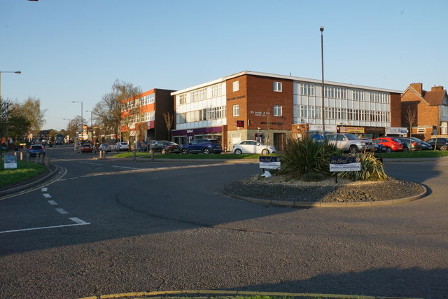
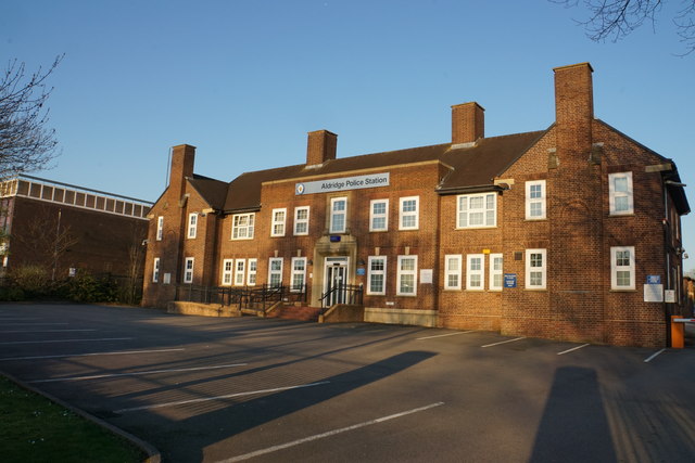
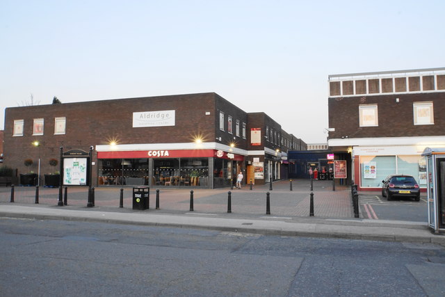
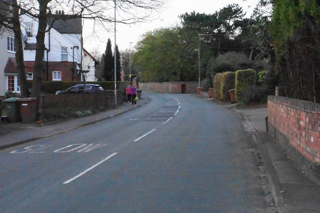
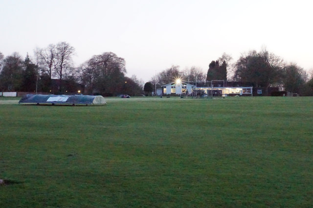
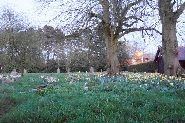
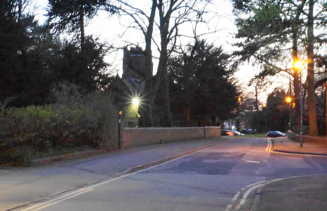
Barr Common Images

Images are sourced within 2km of 52.590038/-1.9122472 or Grid Reference SP0699. Thanks to Geograph Open Source API. All images are credited.

Aldridge station, with Society Special train, 1951 View eastward, towards Castle Bromwich and Birmingham New Street. This was a Stephenson Locomotive Society Special, formed of the auto-train, suitably strengthened, normally employed on the ex-Midland (Birmingham) - Castle Bromwich - Sutton Coldfield - Walsall line (closed 18/1/65); a branch had run from here - behind camera - to Brownhills (Watling Street) until 31/3/30. The locomotive is LMS-type Ivatt 2MT 2-6-2T No. 41226 (built 11/48, withdrawn 9/64).
Aldridge station, with Society Special train, 1951
View eastward, towards Castle Bromwich and Birmingham New Street. This was a Stephenson Locomotive Society Special, formed of the auto-train, suitably strengthened, normally employed on the ex-Midland (Birmingham) - Castle Bromwich - Sutton Coldfield - Walsall line (closed 18/1/65); a branch had run from here - behind camera - to Brownhills (Watling Street) until 31/3/30. The locomotive is LMS-type Ivatt 2MT 2-6-2T No. 41226 (built 11/48, withdrawn 9/64).
High Street Aldridge Town Centre
Aldridge War Memorial and Church
Old Milepost by the A454, Paddock Lane, Aldridge Cast iron post by the A454, in parish of Walsall (Walsall District), Paddock Lane, Aldridge town centre, on the verge, on North West side of road. Lathe iron casting, erected by the County Council in the 19th/20th century. 

Inscription reads:-
: ALDRIDGE ¾ / LITTLE - / ASTON 2¾ / WATFORD GAP 4 / TAMWORTH 12 : : ALDRIDGE : : WALSALL 3 :
Maker:-
: Chas. Lathe, Tipton :

Milestone Society National ID: ST_WLTM03.
Old Milepost by the A454, Paddock Lane, Aldridge
Cast iron post by the A454, in parish of Walsall (Walsall District), Paddock Lane, Aldridge town centre, on the verge, on North West side of road. Lathe iron casting, erected by the County Council in the 19th/20th century. Inscription reads:- : ALDRIDGE ¾ / LITTLE - / ASTON 2¾ / WATFORD GAP 4 / TAMWORTH 12 : : ALDRIDGE : : WALSALL 3 : Maker:- : Chas. Lathe, Tipton : Milestone Society National ID: ST_WLTM03.
Roundabout in Aldridge town centre The buildings ahead are as distinguished as many in the town centre.
Roundabout in Aldridge town centre
The buildings ahead are as distinguished as many in the town centre.
The Avion Previously a bingo hall <a href="https://www.geograph.org.uk/photo/806990">SK0500 : Avion Bingo Hall</a>, but now with new life as a Wetherspoon's.
The Avion
Previously a bingo hall SK0500 : Avion Bingo Hall, but now with new life as a Wetherspoon's.
Aldridge Police Station This one has not needed to be rebuilt, as so many were in the last 20 years.
Aldridge Police Station
This one has not needed to be rebuilt, as so many were in the last 20 years.
Aldridge Shopping Centre Every town centre needs a precinct.
Aldridge Shopping Centre
Every town centre needs a precinct.
Walsall Wood Road An older residential road quite near the town centre.
Walsall Wood Road
An older residential road quite near the town centre.
Path to the cricket club The path leaves Hobs Hole Lane towards the centre of Aldridge. It is viewed in fading daylight.
Path to the cricket club
The path leaves Hobs Hole Lane towards the centre of Aldridge. It is viewed in fading daylight.
Aldridge Cricket Club Daylight is fading and all activity is appropriately in the clubhouse.
Aldridge Cricket Club
Daylight is fading and all activity is appropriately in the clubhouse.
Daffodils in the graveyard Aldridge churchyard extension viewed at dusk.
Daffodils in the graveyard
Aldridge churchyard extension viewed at dusk.
The Green at dusk The profile of St Mary's Church is in the centre.
The Green at dusk
The profile of St Mary's Church is in the centre.
St Mary's Church, Aldridge The parish church floodlit in the evening.
St Mary's Church, Aldridge
The parish church floodlit in the evening.
Alder House, Leighswood Road A new development of retirement(?) flats on the outskirts of Aldridge. They're award winning, apparently, and only a few remaining, so be quick.
Alder House, Leighswood Road
A new development of retirement(?) flats on the outskirts of Aldridge. They're award winning, apparently, and only a few remaining, so be quick.
Traffic jam on Birmingham Road Early afternoon heavy traffic queued up on Birmingham Road to join the A454 Walsall Road.
Traffic jam on Birmingham Road
Early afternoon heavy traffic queued up on Birmingham Road to join the A454 Walsall Road.
Aldridge Methodist Church On Anchor Road.
Aldridge Methodist Church
On Anchor Road.
Aldridge Police Station On Anchor Road.
Aldridge Police Station
On Anchor Road.
Show me another place!

Barr Common is located at Grid Ref: SP0699 (Lat: 52.590038, Lng: -1.9122472)

Unitary Authority: Walsall

Police Authority: West Midlands

What 3 Words

///wink.debate.groups. Near Aldridge, West Midlands

Related Wikis

St Francis of Assisi Catholic College

St. Francis of Assisi Catholic College is a mixed Roman Catholic secondary school in Walsall, England. It was previously known as St Francis of Assisi...

Walsall Rural District

Walsall was a rural district in Staffordshire, England from 1894 to 1934. It was created by the Local Government Act 1894 based on Walsall rural sanitary...

Aldridge-Brownhills Urban District

Aldridge-Brownhills was an urban district in Staffordshire, England from 1966 to 1974. The district was formed in accordance with a recommendation of the...

Aldridge School

Aldridge School is a mixed secondary school and sixth form with academy status located in Aldridge, in the Metropolitan Borough of Walsall in the West...

Nearby Amenities

Located within 500m of 52.590038,-1.9122472
Note: hold node
Lat/Long: 52.5871261/-1.9067506
Power: tower
Lat/Long: 52.5874222/-1.9118337
Bus Stop
Erdington Rd / Knights Hill
NaPTANAreaCode: 43000655201
Bench: yes
Bin: no
Bus: yes
Naptan AtcoCode: 43000655201
Naptan Bearing: S
Naptan BusStopType: MKD
Naptan CommonName: Knights Hill
Naptan Indicator: opp
Naptan NaptanCode: nwmjapwj
Naptan PlusbusZoneRef: BHAMNWS
Naptan Status: ACT
Naptan StopType: BCT
Naptan Street: ERDINGTON RD
Naptan Towards: Kingstanding
Naptan Verified: no
Public Transport: platform
Route Ref: 25;937;937A
Shelter: yes
Shelter Ref: 202526
Source: WMCA
Tactile Paving: no
Lat/Long: 52.5940888/-1.9132247
Bus Stop
Erdington Rd / Knights Hill
NaPTANAreaCode: 43000655202
Bench: yes
Bin: no
Bus: yes
Naptan AtcoCode: 43000655202
Naptan Bearing: N
Naptan BusStopType: MKD
Naptan CommonName: Knights Hill
Naptan Indicator: adj
Naptan NaptanCode: nwmjapwm
Naptan PlusbusZoneRef: BHAMNWS
Naptan Status: ACT
Naptan StopType: BCT
Naptan Street: ERDINGTON RD
Naptan Towards: Aldridge
Naptan Verified: no
Public Transport: platform
Route Ref: 25;937;937A
Shelter: yes
Shelter Ref: 202540
Source: WMCA
Tactile Paving: no
Lat/Long: 52.5942058/-1.9134459
Bus Stop
Erdington Rd / Barr Common Rd
Bench: no
Bus: yes
Naptan AtcoCode: 43000655303
Naptan Bearing: N
Naptan BusStopType: MKD
Naptan CommonName: Barr Common Rd
Naptan Indicator: after
Naptan NaptanCode: nwmjapwp
Naptan PlusbusZoneRef: BHAMNWS
Naptan Status: ACT
Naptan StopType: BCT
Naptan Street: ERDINGTON RD
Naptan Towards: Aldridge
Naptan Verified: no
Public Transport: platform
Route Ref: 25;937;937A
Shelter: no
Source: WMCA
Tactile Paving: no
Lat/Long: 52.5875866/-1.9099902
Bus Stop
Erdington Rd / Barr Common Rd
Bench: no
Bus: yes
Naptan AtcoCode: 43000655304
Naptan Bearing: S
Naptan BusStopType: MKD
Naptan CommonName: Barr Common Rd
Naptan Indicator: before
Naptan NaptanCode: nwmjapwt
Naptan PlusbusZoneRef: BHAMNWS
Naptan Status: ACT
Naptan StopType: BCT
Naptan Street: ERDINGTON RD
Naptan Towards: Kingstanding
Naptan Verified: no
Public Transport: platform
Route Ref: 25;937;937A
Shelter: no
Source: WMCA
Tactile Paving: no
Lat/Long: 52.5878563/-1.9099749
Bus Stop
Erdington Rd / Little Hardwick Rd
NaPTANAreaCode: 43000655401
Bench: yes
Bus: yes
Naptan AtcoCode: 43000655401
Naptan Bearing: S
Naptan BusStopType: MKD
Naptan CommonName: Little Hardwick Rd
Naptan Indicator: adj
Naptan NaptanCode: nwmjatad
Naptan PlusbusZoneRef: BHAMNWS
Naptan Status: ACT
Naptan StopType: BCT
Naptan Street: ERDINGTON RD
Naptan Towards: Kingstanding
Naptan Verified: no
Public Transport: platform
Route Ref: 25;937;937A
Shelter: yes
Shelter Ref: 203509
Source: WMCA
Lat/Long: 52.5865521/-1.9091657
Bus Stop
Erdington Rd / Little Hardwick Rd
NaPTANAreaCode: 43000655402
Bench: yes
Bus: yes
Naptan AtcoCode: 43000655402
Naptan Bearing: N
Naptan BusStopType: MKD
Naptan CommonName: Little Hardwick Rd
Naptan Indicator: opp
Naptan NaptanCode: nwmjatag
Naptan PlusbusZoneRef: BHAMNWS
Naptan Status: ACT
Naptan StopType: BCT
Naptan Street: ERDINGTON RD
Naptan Towards: Aldridge
Naptan Verified: no
Public Transport: platform
Route Ref: 25;937;937A
Shelter: yes
Shelter Ref: 203508
Source: WMCA
Tactile Paving: no
Lat/Long: 52.5863004/-1.9092548
Bus Stop
Barr Common Rd / Beacon Rise
Bench: no
Bin: no
Bus: yes
Naptan AtcoCode: 43000659501
Naptan Bearing: SE
Naptan BusStopType: MKD
Naptan CommonName: Beacon Rise
Naptan Indicator: adj
Naptan NaptanCode: nwmjatwg
Naptan PlusbusZoneRef: BHAMNWS
Naptan Status: ACT
Naptan StopType: BCT
Naptan Street: BARR COMMON RD
Naptan Towards: Birmingham
Naptan Verified: no
Public Transport: platform
Route Ref: 936;997
Shelter: no
Source: WMCA
Tactile Paving: no
Lat/Long: 52.5924199/-1.917819
Bus Stop
Barr Common Rd / Beacon Rise
Bench: no
Bin: no
Bus: yes
Naptan AtcoCode: 43000659502
Naptan Bearing: NW
Naptan BusStopType: MKD
Naptan CommonName: Beacon Rise
Naptan Indicator: opp
Naptan NaptanCode: nwmjatwj
Naptan PlusbusZoneRef: BHAMNWS
Naptan Status: ACT
Naptan StopType: BCT
Naptan Street: BARR COMMON RD
Naptan Towards: Aldridge
Naptan Verified: no
Public Transport: platform
Route Ref: 936;997
Shelter: no
Source: WMCA
Tactile Paving: no
Lat/Long: 52.5922401/-1.9178046
Bus Stop
Longwood Rd / Barr Common Rd
Asset Ref: 0659601
Bus: yes
Lit: yes
Location: Longwood Road;Barr Common Road
Naptan AtcoCode: 43000659601
Naptan Bearing: N
Naptan BusStopType: MKD
Naptan CommonName: Barr Common Rd
Naptan Indicator: before
Naptan NaptanCode: nwmjatwm
Naptan PlusbusZoneRef: BHAMNWS
Naptan Status: ACT
Naptan StopType: BCT
Naptan Street: LONGWOOD RD
Naptan Towards: Aldridge
Naptan Verified: yes
Public Transport: platform
Route Ref: 936;997
Shelter: no
Source: WMCA
Towards: Aldridge
Lat/Long: 52.5892554/-1.9165845
Bus Stop
Longwood Rd / Barr Common Rd
Bus: yes
Location: Longwood Road;Barr Common Road
Naptan AtcoCode: 43000659602
Naptan Bearing: S
Naptan BusStopType: MKD
Naptan CommonName: Barr Common Rd
Naptan Indicator: after
Naptan NaptanCode: nwmjatwp
Naptan PlusbusZoneRef: BHAMNWS
Naptan Status: ACT
Naptan StopType: BCT
Naptan Street: LONGWOOD RD
Naptan Towards: Birmingham
Naptan Verified: yes
Public Transport: platform
Route Ref: 936;997
Shelter: no
Source: WMCA
Towards: Pheasey;Kingstanding
Lat/Long: 52.5895646/-1.9166119
Bus Stop
Longwood Rd / Longwood House
Asset Ref: 0659701
Bus: yes
Lit: yes
Location: Longwood Road;Longwood House
Naptan AtcoCode: 43000659701
Naptan Bearing: N
Naptan BusStopType: MKD
Naptan CommonName: Longwood House
Naptan Indicator: opp
Naptan NaptanCode: nwmjatwt
Naptan PlusbusZoneRef: BHAMNWS
Naptan Status: ACT
Naptan StopType: BCT
Naptan Street: LONGWOOD RD
Naptan Towards: Aldridge
Naptan Verified: yes
Public Transport: platform
Route Ref: 936;997
Shelter: no
Source: WMCA
Towards: Aldridge
Lat/Long: 52.5860716/-1.9147996
Bus Stop
Longwood Rd / Longwood House
Bus: yes
Location: Longwood Road;Longwood House
Naptan AtcoCode: 43000659702
Naptan Bearing: S
Naptan BusStopType: MKD
Naptan CommonName: Longwood House
Naptan Indicator: adj
Naptan NaptanCode: nwmjawad
Naptan PlusbusZoneRef: BHAMNWS
Naptan Status: ACT
Naptan StopType: BCT
Naptan Street: LONGWOOD RD
Naptan Towards: Birmingham
Naptan Verified: yes
Public Transport: platform
Route Ref: 936;997
Shelter: no
Source: WMCA
Towards: Pheasey;Kingstanding
Lat/Long: 52.5872437/-1.9154582
Post Box
Postal Code: WS9
Ref: WS9 147
Source: GPS Survey
Lat/Long: 52.5870614/-1.9155395
Grit Bin
Note: Exact location: somewhere in Vale View
Operator: Walsall District Council
Ref: 7
Type: plastic
Lat/Long: 52.5936049/-1.9153884
Grit Bin
Note: Exact location: opp on grass verge
Operator: Walsall District Council
Ref: 2
Type: concrete
Lat/Long: 52.5901538/-1.9152571
Grit Bin
Note: Exact location: opp no 42
Operator: Walsall District Council
Ref: 1
Type: plastic
Lat/Long: 52.5917611/-1.9170173
Power: tower
Lat/Long: 52.589942/-1.909881
Power: tower
Lat/Long: 52.5929375/-1.9076411
Barr Common
Is In Town: Aldridge
Place: suburb
Source: OS_OpenData_StreetView
Lat/Long: 52.5941146/-1.9142634
The data included in this document is from www.openstreetmap.org. The data is made available under ODbL.

Have you been to Barr Common?

Leave your review of Barr Common below (or comments, questions and feedback).