Barrachan
Settlement in Wigtownshire
Scotland
Barrachan

Barrachan is a small village located in the historic county of Wigtownshire in southwest Scotland. Situated near the southern edge of the region, it lies approximately 4 miles northeast of the town of Glenluce and 8 miles northwest of the town of Newton Stewart.
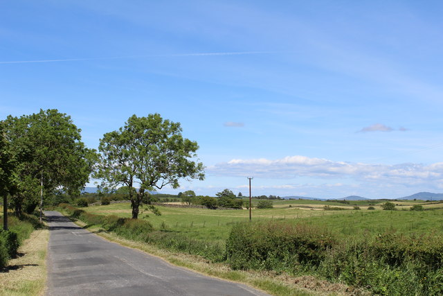
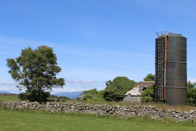
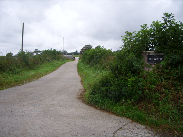
The village is nestled amidst picturesque rolling hills and farmland, surrounded by the natural beauty of the Galloway Forest Park. Barrachan is known for its tranquil and idyllic setting, making it a popular destination for those seeking a peaceful retreat or a scenic spot for outdoor activities.
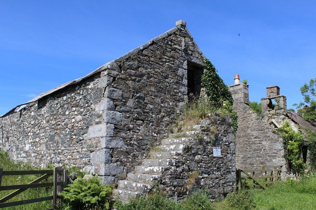
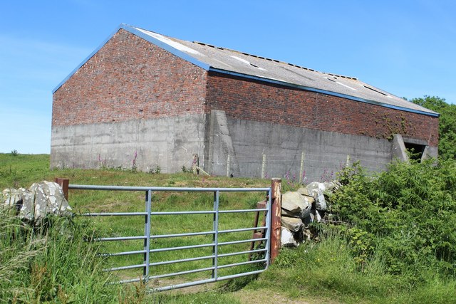
Although small in size, Barrachan has a close-knit community that takes pride in its rich history and heritage. The village is home to a number of traditional stone houses, reflecting its traditional Scottish charm. The nearby Barrachan Loch is a notable feature, providing a habitat for various bird species and attracting birdwatchers and nature enthusiasts.
The village offers limited amenities, with a local pub and a small convenience store catering to the needs of residents and visitors. However, the larger towns of Glenluce and Newton Stewart offer a wider range of services, including shops, schools, and medical facilities.
Barrachan's location offers easy access to the stunning coastline of Wigtown Bay, where visitors can explore sandy beaches, enjoy coastal walks, or indulge in water sports. The area is also known for its connection to literature, as Wigtown, the county town, is famous for its annual book festival.
In summary, Barrachan is a charming village in Wigtownshire that offers a peaceful rural setting, close proximity to natural landscapes, and a warm community atmosphere.
If you have any feedback on the listing, please let us know in the comments section below.
Barrachan Images
Images are sourced within 2km of 54.814073/-4.550332 or Grid Reference NX3649. Thanks to Geograph Open Source API. All images are credited.


Barrachan is located at Grid Ref: NX3649 (Lat: 54.814073, Lng: -4.550332)
Unitary Authority: Dumfries and Galloway
Police Authority: Dumfries and Galloway
What 3 Words
///wedding.cones.outhouse. Near Whithorn, Dumfries & Galloway
Nearby Locations
Related Wikis

Mochrum
Mochrum () is a coastal civil and Church of Scotland parish situated to the east of Luce Bay on the Machars peninsula and 8 miles (13 km) southwest of...

Whauphill railway station
Whauphill (NX 40462 49887) was a railway station on the Wigtownshire Railway branch line, from Newton Stewart to Whithorn, of the Portpatrick and Wigtownshire...

Elrig
Elrig (Scottish Gaelic: An Eileirg, meaning "the deer run") is a clachan or hamlet in the historical county of Wigtownshire in Dumfries and Galloway...
Whauphill
Whauphill is a small village located in the historical county of Wigtownshire in the Machars, Dumfries and Galloway, Scotland.Whauphill is a hub that supports...

Drumtroddan standing stones
The Drumtroddan standing stones (grid reference NX 36449 44300) are a small Neolithic or Bronze Age stone alignment in the parish of Mochrum, Wigtownshire...

Machars
The Machars (Scottish Gaelic: Machair Ghallghaidhealaibh) is a peninsula in the historical county of Wigtownshire in Galloway in the south-west of Scotland...

Kirkinner railway station
Kirkinner was a railway station on the Wigtownshire Railway branch line, from Newton Stewart to Whithorn, of the Portpatrick and Wigtownshire Joint Railway...

Port William, Dumfries and Galloway
Port William (Scottish Gaelic: Cill na Tràghad) is a fishing village in the parish of Mochrum in the historical county of Wigtownshire, Dumfries and Galloway...
Nearby Amenities
Located within 500m of 54.814073,-4.550332Have you been to Barrachan?
Leave your review of Barrachan below (or comments, questions and feedback).