Airds Glen
Valley in Kirkcudbrightshire
Scotland
Airds Glen
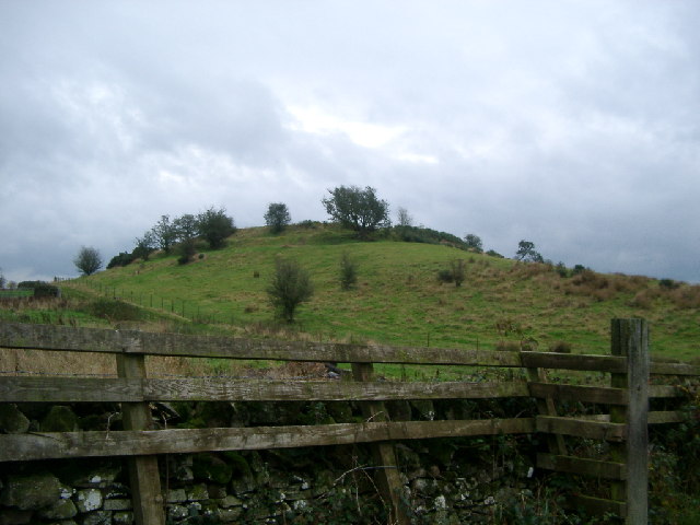
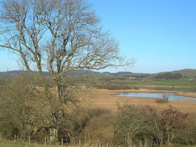
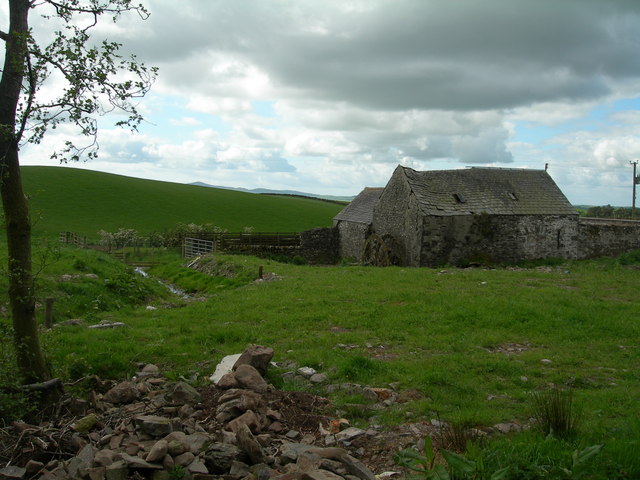
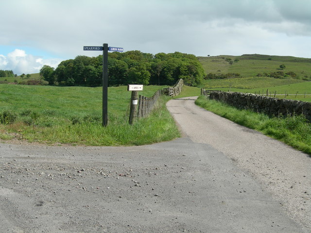
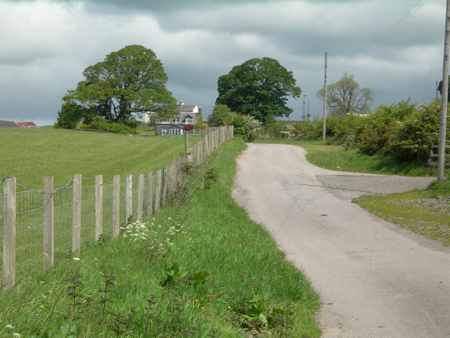
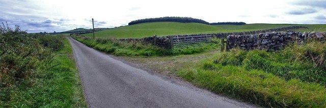
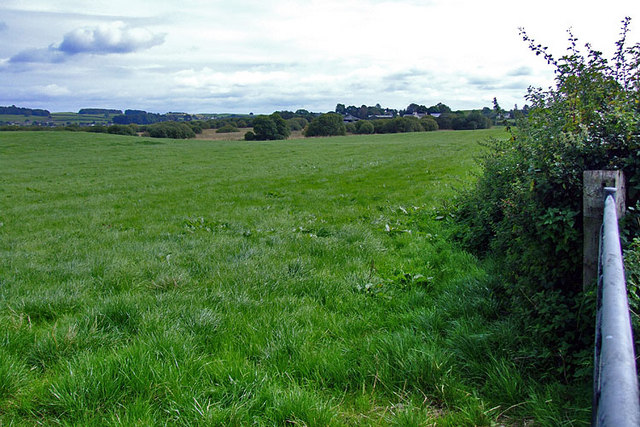
Airds Glen is a picturesque valley located in Kirkcudbrightshire, Scotland. Situated in the southern part of the country, the glen boasts stunning natural beauty and is a popular destination for outdoor enthusiasts and nature lovers.
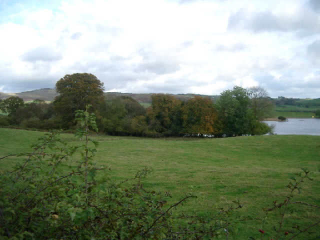
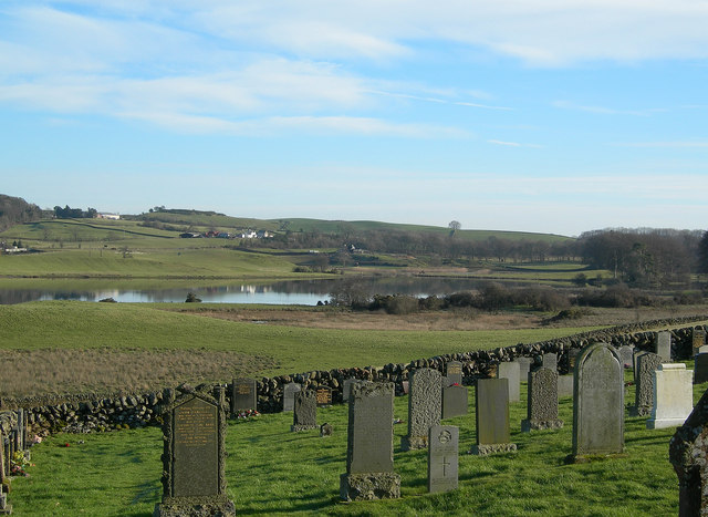
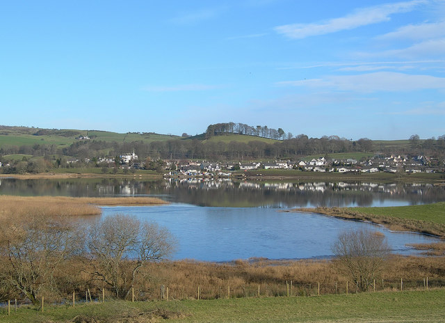
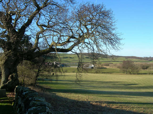
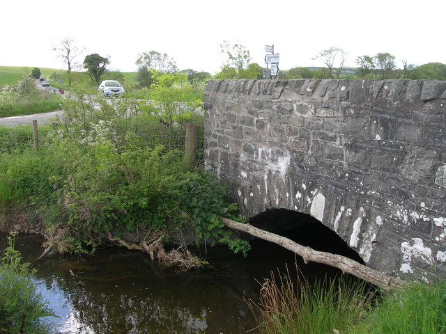
The glen is characterized by its rolling hills, lush greenery, and the meandering Airds Burn river that flows through it. The surrounding landscape is dotted with dense forests, providing a haven for a variety of wildlife, including deer, foxes, and numerous bird species.
Airds Glen offers a range of activities for visitors to enjoy. Hiking and walking trails wind through the valley, providing opportunities to explore the stunning scenery and discover hidden gems along the way. The glen is also a great spot for picnicking, with several designated areas boasting beautiful views of the surrounding countryside.
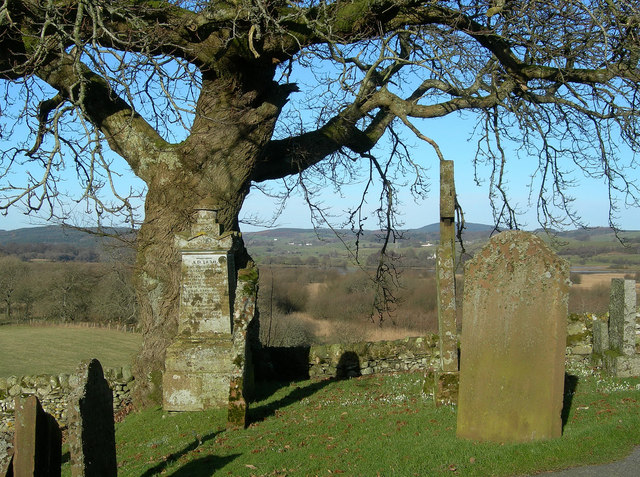
The Airds Glen is steeped in history, with evidence of human habitation dating back thousands of years. The area is home to several archaeological sites, including ancient burial mounds and standing stones, offering a glimpse into the rich history of the region.
For those seeking a peaceful and tranquil retreat, Airds Glen provides an idyllic setting. The valley's serene atmosphere and natural beauty make it a perfect escape from the hustle and bustle of everyday life. Whether it's a leisurely stroll, a challenging hike, or simply a moment of quiet contemplation, Airds Glen offers something for everyone to enjoy.
If you have any feedback on the listing, please let us know in the comments section below.
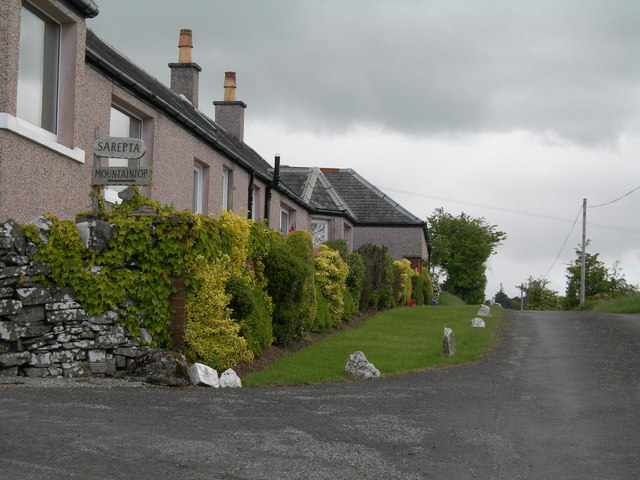
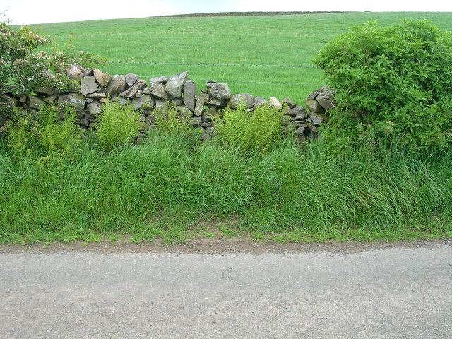
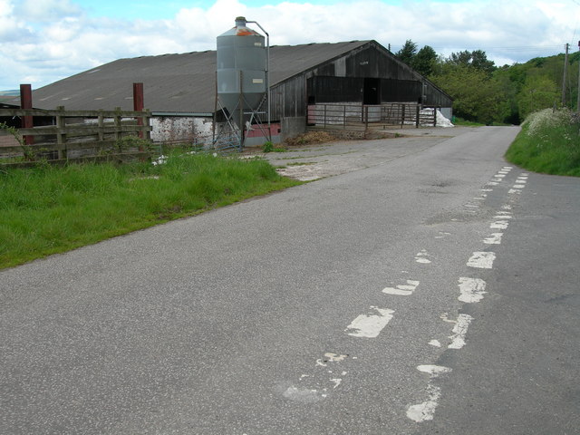
Airds Glen Images
Images are sourced within 2km of 54.986713/-3.9829127 or Grid Reference NX7367. Thanks to Geograph Open Source API. All images are credited.
Airds Glen is located at Grid Ref: NX7367 (Lat: 54.986713, Lng: -3.9829127)
Unitary Authority: Dumfries and Galloway
Police Authority: Dumfries and Galloway
What 3 Words
///than.ranked.polices. Near Castle Douglas, Dumfries & Galloway
Nearby Locations
Related Wikis

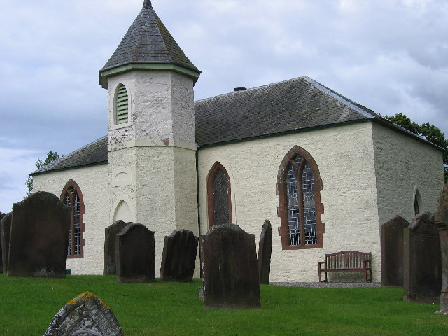
Crossmichael Parish Church
Crossmichael Parish Church is an ecclesiastical building in Crossmichael, Dumfries and Galloway, Scotland. It lies on a knoll, which was probably an ancient...

Crossmichael railway station
Crossmichael railway station served the village of Crossmichael, Kirkcudbrightshire, Scotland, from 1861 to 1965 on the Portpatrick and Wigtownshire Joint...

Crossmichael
Crossmichael (Scottish Gaelic: Crois Mhìcheil) is a small village on the east side of Loch Ken in the historical county of Kirkcudbrightshire, about 4...

Balmaghie
Balmaghie ( bal-mə-GEE), from the Scottish Gaelic Baile Mhic Aoidh, is an ecclesiastical and civil parish in the historical county of Kirkcudbrightshire...

Kirkcudbrightshire
Kirkcudbrightshire ( kur-KOO-brish-ər, -eer; Scots: [kərˈku(d)brəʃər]), or the County of Kirkcudbright or the Stewartry of Kirkcudbright is one of the...

Abbey Yard
Abbey Yard is a location in Dumfries and Galloway, Scotland. Abbey Yard is near Glenlochar in the historical county of Kirkcudbrightshire in the Dumfries...

Glenlochar
Glenlochar (Gd: Gleann Lochair) is a hamlet on the western bank of the River Dee in the parish of Balmaghie in the historical county of Kirkcudbrightshire...

Parton, Dumfries and Galloway
Parton is a hamlet situated on the banks of the River Dee in the historical county of Kirkcudbrightshire, Dumfries and Galloway, Scotland. == Notable... ==
Nearby Amenities
Located within 500m of 54.986713,-3.9829127Have you been to Airds Glen?
Leave your review of Airds Glen below (or comments, questions and feedback).