Glac Chairn

Valley in Perthshire

Scotland

Glac Chairn

Minor road near Braes of Foss
Minor road near Braes of Foss Credit: Steven Brown

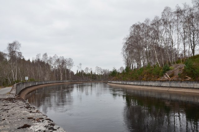
Glac Chairn is a picturesque valley located in Perthshire, Scotland. Nestled amidst the stunning Scottish Highlands, this valley is known for its breathtaking natural beauty and tranquil surroundings. The name "Glac Chairn" translates to "Valley of the Rocks" in Gaelic, which aptly describes the rugged terrain and rocky outcrops that define the area.

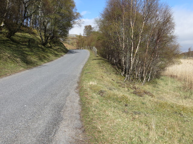
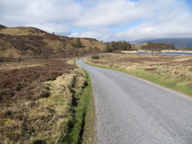
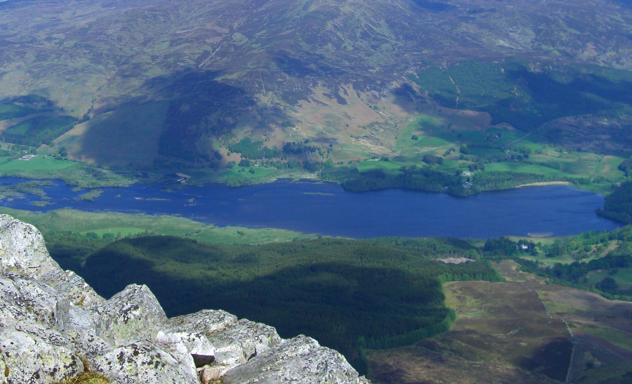
The valley is characterized by its rolling hills, lush green meadows, and meandering streams. The landscape is a perfect blend of ruggedness and serenity, making it a popular destination for nature enthusiasts and hikers. The valley is surrounded by majestic mountains, adding to its allure and offering countless opportunities for adventure and exploration.

Glac Chairn is home to a diverse range of flora and fauna. The valley's fertile soil and mild climate support a rich variety of plant life, including heather, wildflowers, and mosses. This abundance of vegetation attracts a wide array of bird species, making it a haven for birdwatchers. Visitors may also spot deer, rabbits, and other small mammals roaming freely in their natural habitat.

In addition to its natural beauty, Glac Chairn is steeped in history. The valley boasts ancient ruins and stone circles, offering glimpses into its past. These archaeological sites provide a fascinating insight into the lives of the people who once inhabited this area.

Overall, Glac Chairn is a hidden gem in Perthshire, offering visitors a chance to immerse themselves in the unspoiled beauty of the Scottish Highlands while exploring its rich history and diverse wildlife.

If you have any feedback on the listing, please let us know in the comments section below.

Glac Chairn Images

Images are sourced within 2km of 56.686932/-4.0715481 or Grid Reference NN7356. Thanks to Geograph Open Source API. All images are credited.

Minor road near Braes of Foss
Minor road towards Kinloch Rannoch
Allt Strath Fionan
Allt Strath Fionan
Sheep grazing near Schiehallion
Reeds on Lochan an Daim
Information It's good to be informed during an episode of snow melt on the Schiehallion Road.
Information
It's good to be informed during an episode of snow melt on the Schiehallion Road.
Tummel Bridge aqueduct The aqueduct takes water from Dunalastair Water on a contouring line to Tummel Bridge, where it flows down through pipes to the hydroelectric station, capable of generating up to 34 MW.
Tummel Bridge aqueduct
The aqueduct takes water from Dunalastair Water on a contouring line to Tummel Bridge, where it flows down through pipes to the hydroelectric station, capable of generating up to 34 MW.
Tummel Bridge aqueduct An example of the civil engineering structures that are largely hidden away in the hydroelectric schemes in the Highlands. Built in the 1930s, this conveys water to a point above the Tummel Bridge power station, where it enters pipes to supply the turbine generators.
Tummel Bridge aqueduct
An example of the civil engineering structures that are largely hidden away in the hydroelectric schemes in the Highlands. Built in the 1930s, this conveys water to a point above the Tummel Bridge power station, where it enters pipes to supply the turbine generators.
Young woodland, Strath Fionan A new Scots pine woodland beneath Schiehallion.
Young woodland, Strath Fionan
A new Scots pine woodland beneath Schiehallion.
Schiehallion Road Kinloch Rannoch to Aberfeldy road under Schiehallion.
Schiehallion Road
Kinloch Rannoch to Aberfeldy road under Schiehallion.
Minor Road west of Lochan an Daim Also with a view in the distance towards Loch Rannoch.
Minor Road west of Lochan an Daim
Also with a view in the distance towards Loch Rannoch.
Ancient tree stump This ancient tree stump, possibly 4000 years old, has been exposed by erosion of the blanket bog on An Catachan, a rocky ridge on the lower slopes of Schiehallion.
Ancient tree stump
This ancient tree stump, possibly 4000 years old, has been exposed by erosion of the blanket bog on An Catachan, a rocky ridge on the lower slopes of Schiehallion.
Sheep fold Sheepfold near Lochan an Daim, Tullochroisk and view towards Kinloch Rannoch
Sheep fold
Sheepfold near Lochan an Daim, Tullochroisk and view towards Kinloch Rannoch
Old Milestone by Schiehallion Way, above Lochan an Daim Milestone by the UC road, in parish of Fortingall (District), Schiehallion Way, North end of Lochan an Daim, on sharp bend.

Inscription once read:-
(Kinloch Rannoch)
(4)
(Aberfeldy)
(14)

Surveyed

Milestone Society National ID: PK_AFKI14
Old Milestone by Schiehallion Way, above Lochan an Daim
Milestone by the UC road, in parish of Fortingall (District), Schiehallion Way, North end of Lochan an Daim, on sharp bend. Inscription once read:- (Kinloch Rannoch) (4) (Aberfeldy) (14) Surveyed Milestone Society National ID: PK_AFKI14
Road passing to the west of Lochan an Daim Looking north-eastward.
Road passing to the west of Lochan an Daim
Looking north-eastward.
Road descending towards Lochan an Daim Looking north-westward.
Road descending towards Lochan an Daim
Looking north-westward.
Road descending the flank of Meall Dubh Looking north-westward.
Road descending the flank of Meall Dubh
Looking north-westward.
Road passing between Cnoc nan Aighean and Spierean Ruadh at Strath Fionan Looking north-westward.
Road passing between Cnoc nan Aighean and Spierean Ruadh at Strath Fionan
Looking north-westward.
Show me another place!

Glac Chairn is located at Grid Ref: NN7356 (Lat: 56.686932, Lng: -4.0715481)

Unitary Authority: Perth and Kinross

Police Authority: Tayside

What 3 Words

///intend.dreamers.silently. Near Aberfeldy, Perth & Kinross

Related Wikis

Schiehallion experiment

The Schiehallion experiment was an 18th-century experiment to determine the mean density of the Earth. Funded by a grant from the Royal Society, it was...

Schiehallion

Schiehallion (; Scottish Gaelic: Sìth Chailleann, IPA: [ʃiˈxaʎən̪ˠ]) is a prominent cone-shaped mountain in the Breadalbane region of the Scottish Highlands...

Dunalastair

Dunalastair (Scottish Gaelic: Dùn Alastair, meaning "fort of Alexander") is an estate in the southern part of the Highlands, in Perthshire, Scotland....

Dunalastair Water

Dunalastair Water (Scottish Gaelic: "Loch Dhùn Alastair") is an entirely man made reservoir in Scotland which lies between Loch Rannoch and Loch Tummel...

Tummel Bridge

Tummel Bridge is a double arched hump-backed former military bridge crossing the River Tummel at Tummel Bridge, Perth & Kinross, Scotland. A Category A...

Bohespic

Bohespic (Gaelic: Both Easbaig 'bishop's house') is a place near Blair Atholl in the Perth and Kinross area of Scotland. The name also appears in older...

Beinn a' Chuallaich

Beinn a' Chuallaich is a Scottish hill, four kilometres northeast of the village of Kinloch Rannoch in the Perth and Kinross council area. It is part of...

Kinloch Rannoch

Kinloch Rannoch (; Gaelic: Ceann Loch Raineach) is a village in Perth and Kinross, Scotland, at the eastern end of Loch Rannoch, 18 miles (29 km) west...

Nearby Amenities

Located within 500m of 56.686932,-4.0715481
Meall Dubh
Natural: peak
Lat/Long: 56.6881276/-4.0663392
The data included in this document is from www.openstreetmap.org. The data is made available under ODbL.

Have you been to Glac Chairn?

Leave your review of Glac Chairn below (or comments, questions and feedback).