Crossmichael
Settlement in Kirkcudbrightshire
Scotland
Crossmichael
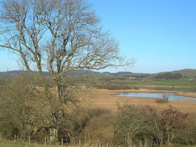
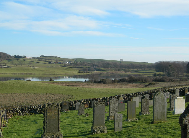
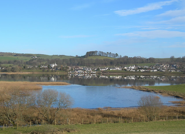
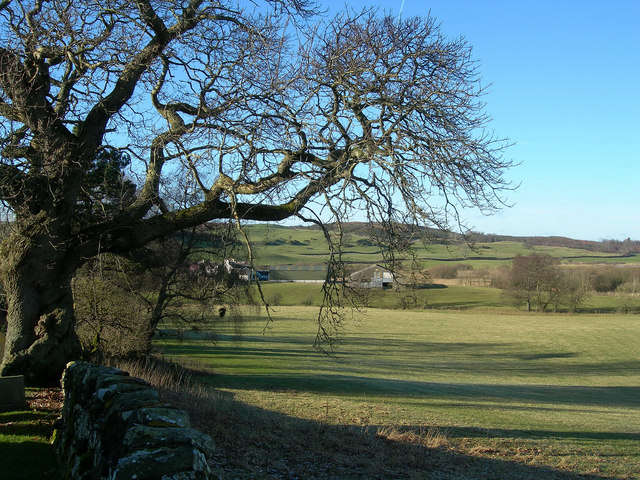
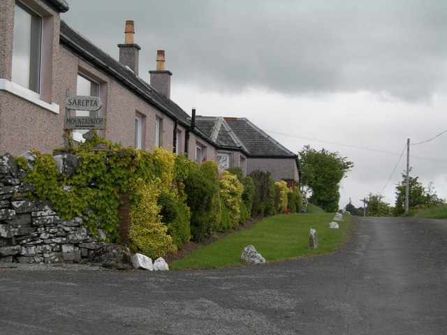
Crossmichael is a small village located in the historical county of Kirkcudbrightshire, Scotland. Situated on the eastern shores of Loch Ken, it is nestled amidst picturesque countryside and offers a tranquil and idyllic setting. The village is part of the wider Crossmichael and Parton community council area.
With a population of around 300 people, Crossmichael retains its small and close-knit community atmosphere. The village is known for its friendly locals and welcoming atmosphere, making it an attractive destination for visitors seeking a peaceful retreat.
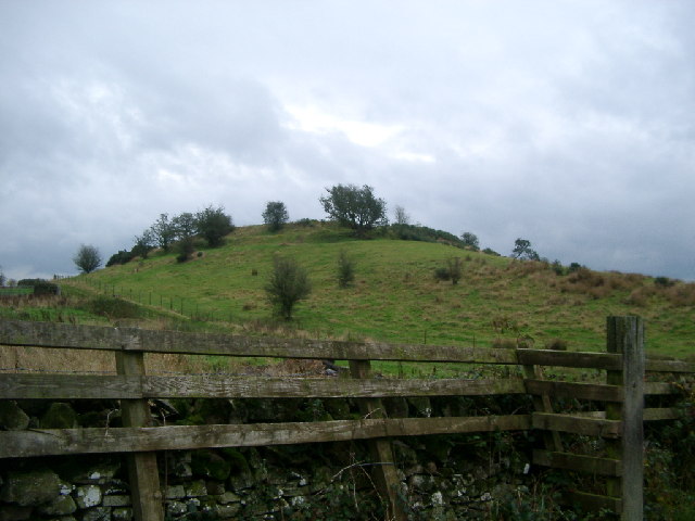
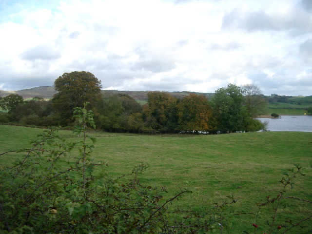
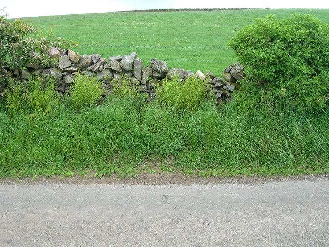
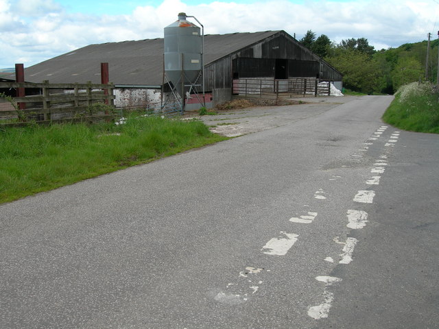
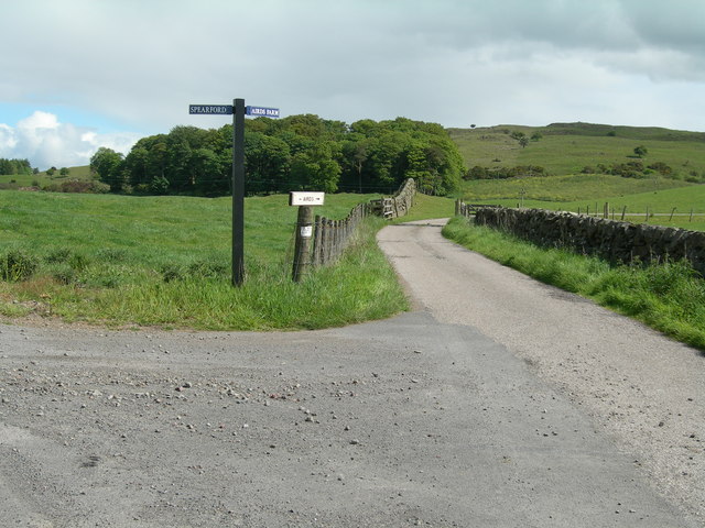
The surrounding natural beauty of Crossmichael is a major draw for outdoor enthusiasts. Loch Ken, a large freshwater loch, provides ample opportunities for water-based activities such as fishing, kayaking, and sailing. The area is also popular for its scenic walking and cycling trails, allowing visitors to explore the rolling hills and lush green landscapes.
The village itself features a number of amenities to cater to residents and visitors. These include a primary school, a village hall, a local pub, and a community shop. Crossmichael also boasts a vibrant social scene, with various events and activities held throughout the year, including the annual Crossmichael Triathlon.
For those interested in history, nearby attractions such as the ruins of Threave Castle and Threave Gardens offer insight into the area's rich past. Additionally, the nearby town of Castle Douglas provides a wider range of amenities and services for residents of Crossmichael.
In summary, Crossmichael is a charming village in Kirkcudbrightshire, Scotland, offering a peaceful and scenic environment, a friendly community, and a wealth of outdoor activities for visitors to enjoy.
If you have any feedback on the listing, please let us know in the comments section below.
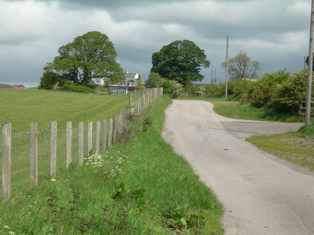
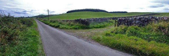
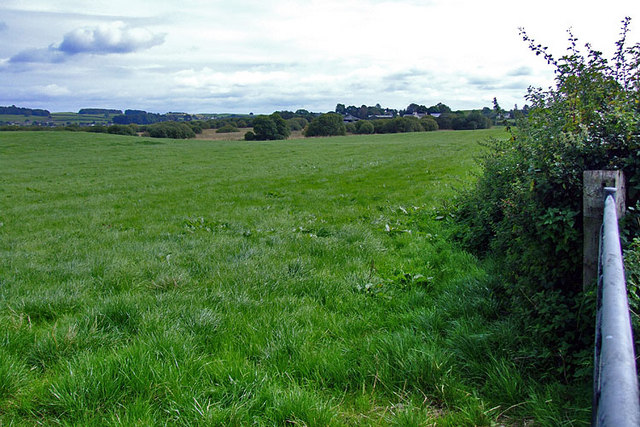
Crossmichael Images
Images are sourced within 2km of 54.982101/-3.98577 or Grid Reference NX7367. Thanks to Geograph Open Source API. All images are credited.


Crossmichael is located at Grid Ref: NX7367 (Lat: 54.982101, Lng: -3.98577)
Unitary Authority: Dumfries and Galloway
Police Authority: Dumfries and Galloway
What 3 Words
///argued.ownership.sands. Near Castle Douglas, Dumfries & Galloway
Nearby Locations
Related Wikis

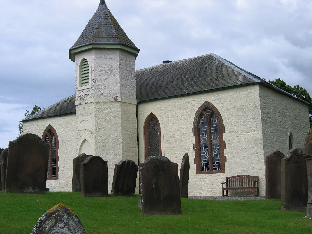
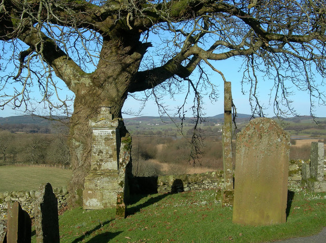
Crossmichael Parish Church
Crossmichael Parish Church is an ecclesiastical building in Crossmichael, Dumfries and Galloway, Scotland. It lies on a knoll, which was probably an ancient...

Crossmichael railway station
Crossmichael railway station served the village of Crossmichael, Kirkcudbrightshire, Scotland, from 1861 to 1965 on the Portpatrick and Wigtownshire Joint...

Crossmichael
Crossmichael (Scottish Gaelic: Crois Mhìcheil) is a small village on the east side of Loch Ken in the historical county of Kirkcudbrightshire, about 4...

Balmaghie
Balmaghie ( bal-mə-GEE), from the Scottish Gaelic Baile Mhic Aoidh, is an ecclesiastical and civil parish in the historical county of Kirkcudbrightshire...
Nearby Amenities
Located within 500m of 54.982101,-3.98577Have you been to Crossmichael?
Leave your review of Crossmichael below (or comments, questions and feedback).