Rhone Hill
Hill, Mountain in Kirkcudbrightshire
Scotland
Rhone Hill
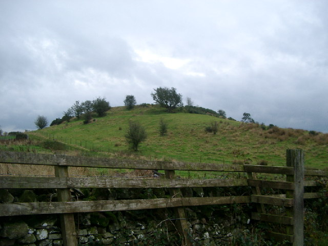
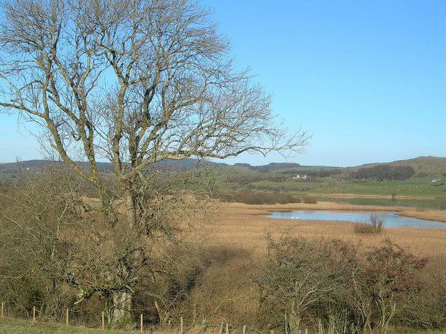
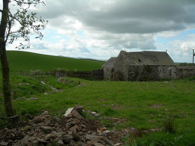
Rhone Hill is a prominent hill located in the region of Kirkcudbrightshire in southern Scotland. With an elevation of approximately 254 meters (833 feet), it offers breathtaking panoramic views of the surrounding countryside.
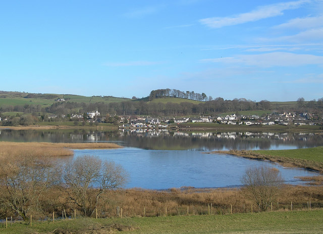
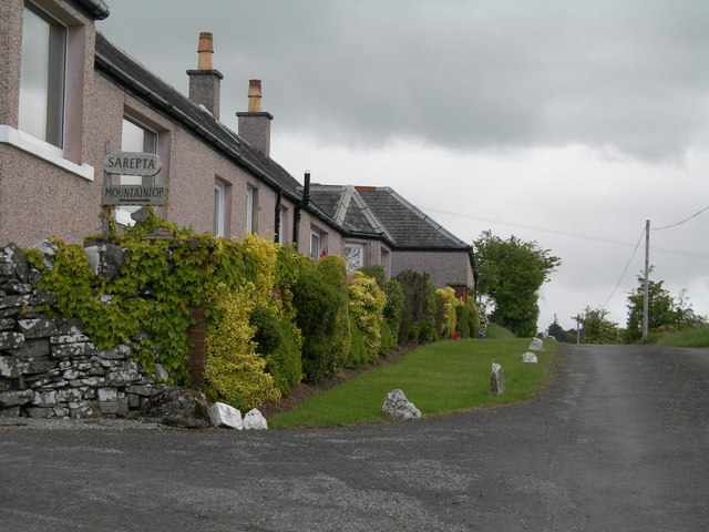
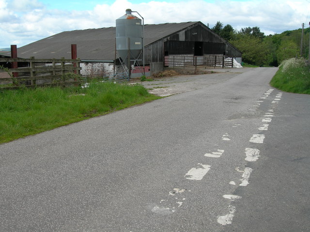
Situated a few miles southeast of the town of Castle Douglas, Rhone Hill is a popular destination for outdoor enthusiasts and nature lovers. Its accessibility makes it a favorite spot for both locals and tourists alike.
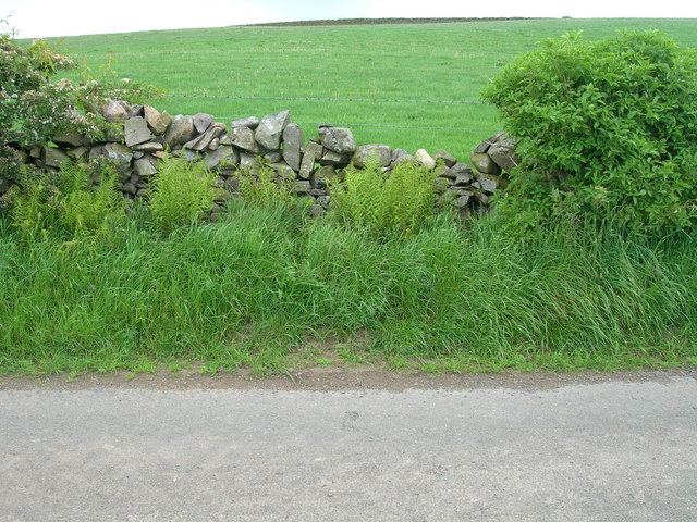
The hill is covered in a variety of vegetation, including grasses, heather, and scattered patches of woodland. This diverse landscape provides a habitat for various wildlife species, such as deer, rabbits, and a variety of bird species.
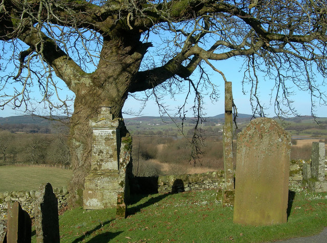
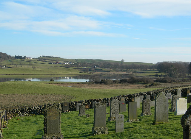
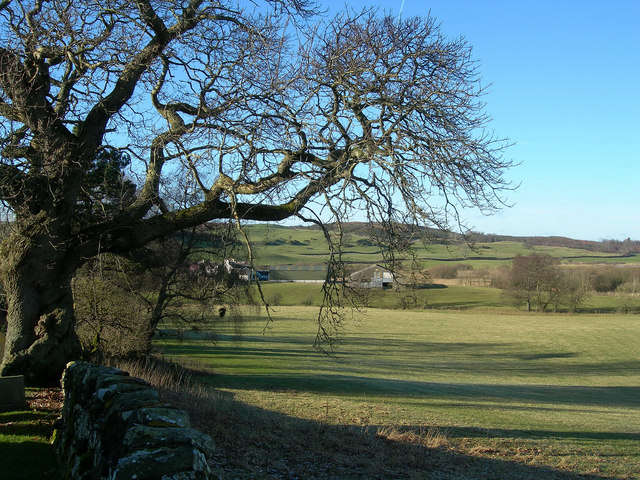
The ascent to the top of Rhone Hill is relatively moderate, making it suitable for individuals of all fitness levels. Well-maintained paths and trails lead visitors through the picturesque countryside, ultimately reaching the summit. At the top, visitors are rewarded with uninterrupted views of the surrounding countryside, including the rolling hills, farmland, and neighboring areas.
Rhone Hill is also of historical significance, with remnants of ancient settlements and burial sites dating back to the Iron Age. Archaeological surveys have revealed the existence of prehistoric structures, including stone circles and burial cairns, further adding to the hill's allure.
Overall, Rhone Hill presents an excellent opportunity for hikers, nature enthusiasts, and history buffs to explore the natural beauty and rich heritage of Kirkcudbrightshire.
If you have any feedback on the listing, please let us know in the comments section below.
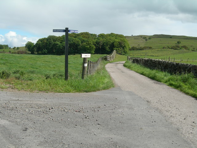
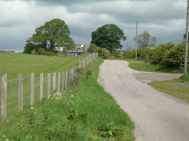
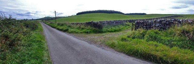
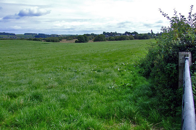
Rhone Hill Images
Images are sourced within 2km of 54.98377/-3.9787509 or Grid Reference NX7367. Thanks to Geograph Open Source API. All images are credited.


Rhone Hill is located at Grid Ref: NX7367 (Lat: 54.98377, Lng: -3.9787509)
Unitary Authority: Dumfries and Galloway
Police Authority: Dumfries and Galloway
What 3 Words
///fortunate.driveway.overlaid. Near Castle Douglas, Dumfries & Galloway
Nearby Locations
Related Wikis

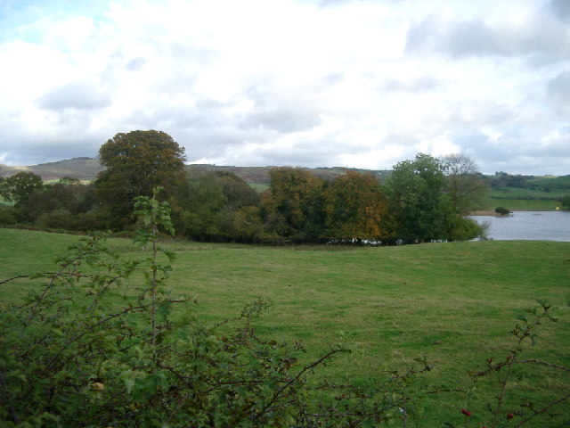
Crossmichael
Crossmichael (Scottish Gaelic: Crois Mhìcheil) is a small village on the east side of Loch Ken in the historical county of Kirkcudbrightshire, about 4...

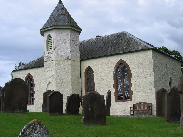
Crossmichael Parish Church
Crossmichael Parish Church is an ecclesiastical building in Crossmichael, Dumfries and Galloway, Scotland. It lies on a knoll, which was probably an ancient...

Crossmichael railway station
Crossmichael railway station served the village of Crossmichael, Kirkcudbrightshire, Scotland, from 1861 to 1965 on the Portpatrick and Wigtownshire Joint...

Balmaghie
Balmaghie ( bal-mə-GEE), from the Scottish Gaelic Baile Mhic Aoidh, is an ecclesiastical and civil parish in the historical county of Kirkcudbrightshire...

Kirkcudbrightshire
Kirkcudbrightshire ( kur-KOO-brish-ər, -eer; Scots: [kərˈku(d)brəʃər]), or the County of Kirkcudbright or the Stewartry of Kirkcudbright is one of the...

Abbey Yard
Abbey Yard is a location in Dumfries and Galloway, Scotland. Abbey Yard is near Glenlochar in the historical county of Kirkcudbrightshire in the Dumfries...

Glenlochar
Glenlochar (Gd: Gleann Lochair) is a hamlet on the western bank of the River Dee in the parish of Balmaghie in the historical county of Kirkcudbrightshire...

Kilquhanity School
Kilquhanity School was one of several free schools to have been established in the United Kingdom in the twentieth century. Others include Sands School...
Nearby Amenities
Located within 500m of 54.98377,-3.9787509Have you been to Rhone Hill?
Leave your review of Rhone Hill below (or comments, questions and feedback).