Crossmill

Settlement in Renfrewshire

Scotland

Crossmill

B771, Paisley Road Dunterlie area of Barrhead.
B771, Paisley Road Credit: wfmillar

Crossmill is a small village located in the historic county of Renfrewshire, Scotland. Situated about 10 miles southwest of the city of Glasgow, Crossmill is nestled within a picturesque rural landscape. The village is part of the larger civil parish of Kilbarchan and falls under the governance of the Renfrewshire Council.

With a population of around 500 residents, Crossmill maintains a tight-knit community atmosphere. The village is predominantly residential, characterized by charming cottages and well-maintained gardens. The local architecture reflects the area's historical roots, with some buildings dating back several centuries.

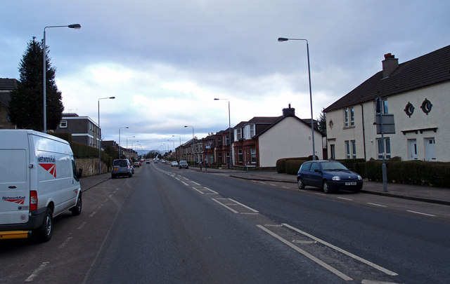
Crossmill is well-connected to the surrounding areas, with convenient transportation links. The A737 road runs nearby, providing easy access to both Glasgow and the nearby towns of Johnstone and Paisley. The village is also served by a local bus service, offering additional transport options for residents and visitors.

Despite its small size, Crossmill offers a range of amenities to cater to its residents' needs. These include a local shop for everyday essentials, a post office, and a village hall that serves as a community hub for various events and activities. The surrounding countryside provides ample opportunities for outdoor pursuits, such as walking, cycling, and fishing in the nearby River Gryffe.

Overall, Crossmill offers a tranquil and idyllic setting for those seeking a peaceful village lifestyle while remaining within easy reach of urban conveniences. Its rich history, natural beauty, and strong sense of community make Crossmill an attractive place to call home.

If you have any feedback on the listing, please let us know in the comments section below.
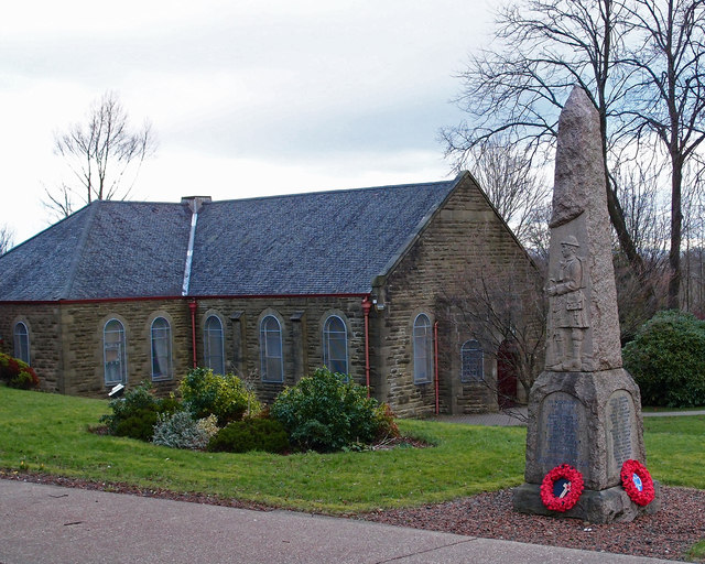
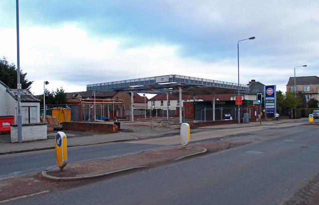
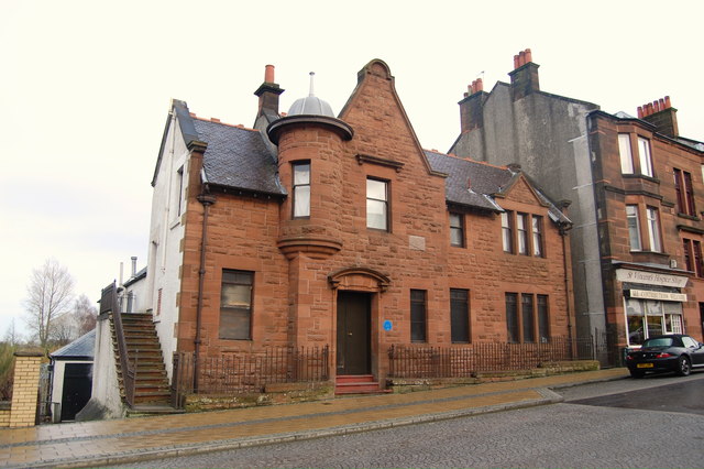
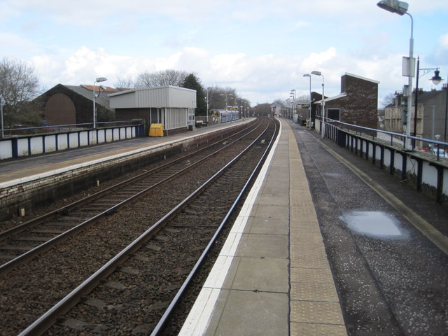
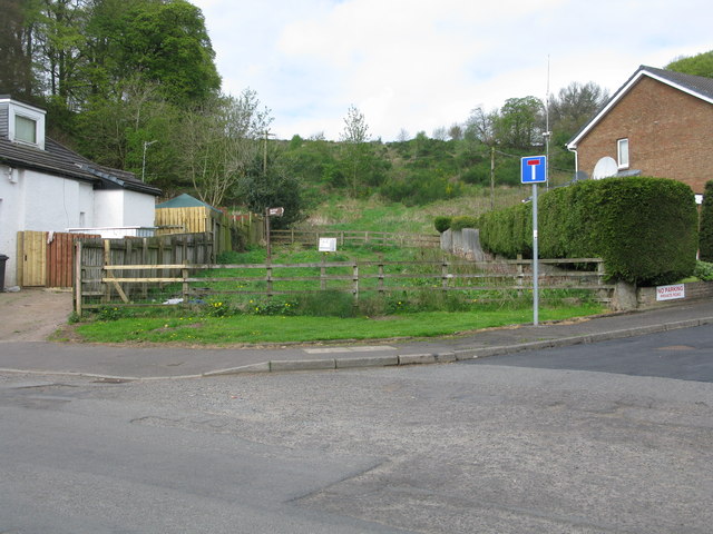
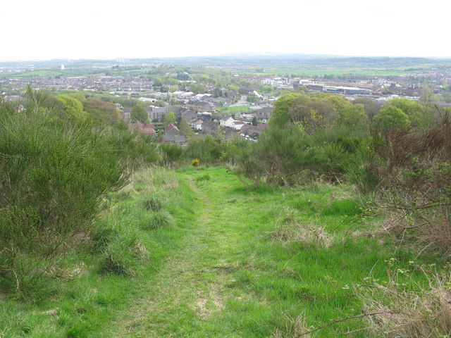
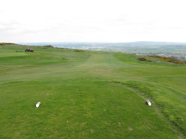
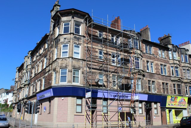
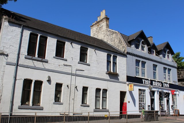
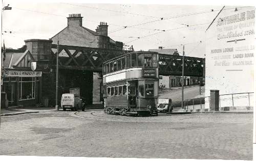
Crossmill Images

Images are sourced within 2km of 55.805333/-4.386712 or Grid Reference NS5059. Thanks to Geograph Open Source API. All images are credited.

B771, Paisley Road Dunterlie area of Barrhead.
B771, Paisley Road
Dunterlie area of Barrhead.
United Services Club Building Paisley Road, Dunterlie
United Services Club Building
Paisley Road, Dunterlie
Masonic Lodge, Barrhead Sits on Cochrane Street. Upper floor looks to be residential.
Masonic Lodge, Barrhead
Sits on Cochrane Street. Upper floor looks to be residential.
Bourock Parish Church, Barrhead War Memorial stands in front of church.
Bourock Parish Church, Barrhead
War Memorial stands in front of church.
Bourock Parish Church Hall, Barrhead War Memorial stands in front of church.
Bourock Parish Church Hall, Barrhead
War Memorial stands in front of church.
Disused Petrol Station B771, Paisley Road, Dunterlie area of Barrhead.
Disused Petrol Station
B771, Paisley Road, Dunterlie area of Barrhead.
Bourock Parish Church, Barrhead Church of Scotland <span class="nowrap"><a title="http://www.portaltothepast.co.uk/heritage/heritage_building/heritage_churches/heritage-churches-barrhead.htm" rel="nofollow ugc noopener" href="http://www.portaltothepast.co.uk/heritage/heritage_building/heritage_churches/heritage-churches-barrhead.htm">Link</a><img style="margin-left:2px;" alt="External link" title="External link - shift click to open in new window" src="https://s1.geograph.org.uk/img/external.png" width="10" height="10"/></span>
Bourock Parish Church, Barrhead
Church of Scotland LinkExternal link
Masonic Lodge, Barrhead. Lodge Union & Crown No.307 & Lodge Randolph No.1434, Barrhead.
Masonic Lodge, Barrhead.
Lodge Union & Crown No.307 & Lodge Randolph No.1434, Barrhead.
Barrhead railway station, Renfrewshire Opened in 1848 by the Glasgow Barrhead & Neilston Direct Railway, on the line which runs from Glasgow to Kilmarnock.
View north east towards Nitshill and Glasgow. For a similar view 44 years previously, see <a href="https://www.geograph.org.uk/photo/1764550">NS4959 : Barrhead Station</a>.
Barrhead railway station, Renfrewshire
Opened in 1848 by the Glasgow Barrhead & Neilston Direct Railway, on the line which runs from Glasgow to Kilmarnock. View north east towards Nitshill and Glasgow. For a similar view 44 years previously, see NS4959 : Barrhead Station.
Start of the route to the Fereneze Braes in Barrhead This rather inauspicious spot between 2 houses is the start of an excellent walk over the Fereneze Braes. It is worth noting that though there are clearly defined paths on the Fereneze Braes, they rarely correspond to paths marked on the OS map. However the routes are so well signposted that a map is really not required. At the start you have to squeeze through a small gap in parallel fences. There are a few more like this on the walk. This is clearly designed to make it very difficult to take even a bike - a good idea.
Start of the route to the Fereneze Braes in Barrhead
This rather inauspicious spot between 2 houses is the start of an excellent walk over the Fereneze Braes. It is worth noting that though there are clearly defined paths on the Fereneze Braes, they rarely correspond to paths marked on the OS map. However the routes are so well signposted that a map is really not required. At the start you have to squeeze through a small gap in parallel fences. There are a few more like this on the walk. This is clearly designed to make it very difficult to take even a bike - a good idea.
Path to the Fereneze Braes Near the start of the path from Barrhead with an excellent view back over Barrhead.
Path to the Fereneze Braes
Near the start of the path from Barrhead with an excellent view back over Barrhead.
Fereneze Golf Club - Hole 15 (Forebrae) Fereneze Golf Club is a 5962 yard par 71 moorland course on the Fereneze Braes.
Fereneze Golf Club - Hole 15 (Forebrae)
Fereneze Golf Club is a 5962 yard par 71 moorland course on the Fereneze Braes.
Gateside Road, Barrhead Attractive road in the outskirts of Barrhead.
Gateside Road, Barrhead
Attractive road in the outskirts of Barrhead.
Footbridge over the Harelaw Burn The bridge is shown (as "FB") on the 1:25000 map. For more context, and for a view in the opposite direction, see <a href="https://www.geograph.org.uk/photo/4057485">NS4859 : Track beside golf course</a>.
Footbridge over the Harelaw Burn
The bridge is shown (as "FB") on the 1:25000 map. For more context, and for a view in the opposite direction, see NS4859 : Track beside golf course.
Track beside golf course Part of Fereneze Golf Course is in the background. Not far ahead is a <a href="https://www.geograph.org.uk/photo/4057479">NS4859 : Footbridge over the Harelaw Burn</a>.
Track beside golf course
Part of Fereneze Golf Course is in the background. Not far ahead is a NS4859 : Footbridge over the Harelaw Burn.
Corner of Graham Street & Paisley Road, Barrhead
The Brig Inn, Cross Arthurlie Street, Barrhead
Gospel Hall, Barrhead On the corner of Cross Arthurlie Street & Chappell Street
Gospel Hall, Barrhead
On the corner of Cross Arthurlie Street & Chappell Street
Show me another place!

Crossmill is located at Grid Ref: NS5059 (Lat: 55.805333, Lng: -4.386712)

Unitary Authority: East Renfrewshire

Police Authority: Greater Glasgow

What 3 Words

///bump.aura.pulse. Near Barrhead, East Renfrewshire

Nearby Locations

Crossmill

Related Wikis

Dunterlie Park (1882–1906)

Dunterlie Park was a football ground in Barrhead, Scotland. It was the home ground of Arthurlie between 1882 and 1906, and was the first of three grounds...

Dunterlie Park (1906–1919)

Dunterlie Park was a football ground in Barrhead, Scotland. It was the home ground of Arthurlie between 1906 and 1919, and was the second of three grounds...

Barrhead

Barrhead (Scots: Baurheid, Scottish Gaelic: Ceann a' Bharra) is a town in East Renfrewshire, Scotland, thirteen kilometres (8 mi) southwest of Glasgow...

Dunterlie Park

Dunterlie Park is a football ground in Barrhead, Scotland. The third stadium to bear the name, it is the home ground of Arthurlie. == History == Arthurlie...
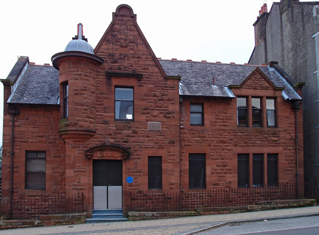
Barrhead Burgh Hall

Barrhead Burgh Hall, also known as Barrhead Burgh Court Hall and Burgh Chambers and as the James McGuire Building, is a municipal complex in Main Street...

Barrhead railway station

Barrhead railway station is a railway station in the town of Barrhead, East Renfrewshire, Greater Glasgow, Scotland. The station is managed by ScotRail...

Barrhead Central railway station

Barrhead Central railway station was a railway station serving the town of Barrhead, Renfrewshire, Scotland. The station was on the Glasgow and South...

Barrhead (New) railway station

Barrhead (New) was one of four railway stations in Barrhead, Renfrewshire, Scotland. == History == The station was originally part of the Paisley and Barrhead...

Nearby Amenities

Located within 500m of 55.805333,-4.386712
Traffic Signals
Lat/Long: 55.8019253/-4.3870476
Crossing
Crossing: uncontrolled
Crossing Ref: zebra
Lat/Long: 55.8037297/-4.3904778
Traffic Signals
Lat/Long: 55.8018431/-4.3869416
Post Box
Lat/Long: 55.8047037/-4.383553
Crossing
Crossing: traffic_signals
Crossing Ref: pelican
Lat/Long: 55.8012424/-4.3887213
Crossing
Crossing: traffic_signals
Tactile Paving: yes
Lat/Long: 55.8027479/-4.3847783
Crossing
Crossing: uncontrolled
Lat/Long: 55.8010654/-4.3876649
Recycling
Barrhead Recycling Centre
Addr City: Barrhead
Addr Postcode: G78 1AA
Addr Street: Carlibar Road
Owner: East Renfrewshire Council
Ownership: municipal
Recycling Type: centre
Website: https://www.eastrenfrewshire.gov.uk/barrhead-recycling-centre
Wikidata: Q106085719
Lat/Long: 55.8050761/-4.3936657
Fast Food
The Jewels of Asia
Addr Housenumber: 34
Addr Postcode: G78 1BU
Addr Street: Glasgow Road
Cuisine: asian
Fhrs Id: 82428
Source Addr: FHRS Open Data
Lat/Long: 55.8055507/-4.3814455
Fast Food
Golden Sun
Addr Housenumber: 36-38
Addr Postcode: G78 1BU
Addr Street: Glasgow Road
Cuisine: chinese
Fhrs Id: 82566
Source Addr: FHRS Open Data
Lat/Long: 55.8056571/-4.3813567
Day-Today
Addr Housenumber: 91A
Addr Postcode: G78 1BX
Addr Street: Glasgow Road
Fhrs Id: 82427
Shop: convenience
Source Addr: FHRS Open Data
Lat/Long: 55.8066473/-4.3810304
Pharmacy
Rowlands Pharmacy
Addr Housenumber: 176
Addr Postcode: G78 1SL
Addr Street: Main Street
Brand: Rowlands Pharmacy
Brand Wikidata: Q62663235
Healthcare: pharmacy
Source Addr: FHRS Open Data
Website: https://rowlandspharmacy.co.uk/find-local-pharmacy#!/l/glasgow/182-184-main-street/1726
Lat/Long: 55.8011355/-4.3883197
Fast Food
Subway
Addr Housenumber: 190-192
Addr Postcode: G78 1SL
Addr Street: Main Street
Brand: Subway
Brand Wikidata: Q244457
Brand Wikipedia: en:Subway (restaurant)
Contact Website: https://restaurants.subway.com/united-kingdom/sc/barrhead/190/192-main-street
Cuisine: sandwich
Fhrs Id: 82668
Source Addr: FHRS Open Data
Takeaway: yes
Lat/Long: 55.8012091/-4.3879761
Fast Food
Greggs
Addr Housenumber: 188
Addr Postcode: G78 1SL
Addr Street: Main Street
Brand: Greggs
Brand Wikidata: Q3403981
Brand Wikipedia: en:Greggs
Contact Website: https://www.greggs.co.uk/shop-finder?shop-code=3531
Cuisine: sandwich;bakery
Fhrs Id: 82409
Source Addr: FHRS Open Data
Takeaway: yes
Lat/Long: 55.8011906/-4.3880403
Pharmacy
Boots
Addr Housenumber: 182-184
Addr Postcode: G78 1SL
Addr Street: Main Street
Brand: Boots
Brand Wikidata: Q6123139
Brand Wikipedia: en:Boots UK
Dispensing: yes
Fhrs Id: 82488
Healthcare: pharmacy
Source Addr: FHRS Open Data
Website: https://www.boots.com/stores/5985-glasgow-barrhead-g78-1sl
Lat/Long: 55.8011517/-4.3881378
Restaurant
Himalayan Dine
Cuisine: indian
Lat/Long: 55.8019674/-4.3863502
Pub
The Flying Horse
Addr Housenumber: 232
Addr Postcode: G78 1SN
Addr Street: Main Street
Fhrs Id: 82359
Source Addr: FHRS Open Data
Lat/Long: 55.8018816/-4.3865782
Crossing
Crossing: traffic_signals
Crossing Ref: pelican
Lat/Long: 55.801179/-4.3886435
Crossing
Crossing: zebra
Lat/Long: 55.804144/-4.3826319
Pub
Fereneze Inn
Addr City: Barrhead
Lat/Long: 55.8031505/-4.3923001
Post Box
Collection Times: Mo-Fr 16:30; Sa 11:45
Operator: Royal Mail
Ref: G78 715
Lat/Long: 55.8038185/-4.3904299
Stewart Rais
Board Type: board
Check Date: 2021-03-13
Historic: archaeological_site
Information: board
Tourism: information
Lat/Long: 55.8052852/-4.3813292
The Levern Mill
Board Type: board
Historic: archaeological_site
Information: board
Tourism: information
Lat/Long: 55.8037055/-4.3836884
Library
Barrhead Library
Note: New location until further notice
Lat/Long: 55.8018019/-4.3855013
Source: GPS
Lat/Long: 55.8020485/-4.3908499
Railway: switch
Lat/Long: 55.8053731/-4.3944089
Railway: switch
Lat/Long: 55.8055774/-4.3939613
Crossing
Crossing: zebra
Lat/Long: 55.8041256/-4.3825373
Crossing
Crossing: zebra
Lat/Long: 55.8038505/-4.3818234
Crossing
Crossing: traffic_signals
Tactile Paving: yes
Lat/Long: 55.8027726/-4.3850122
Crossing
Crossing: traffic_signals
Lat/Long: 55.8039124/-4.3818622
Crossmill
Place: suburb
Lat/Long: 55.8069513/-4.3840895
Dovecothall
Place: suburb
Lat/Long: 55.803765/-4.3826
Carlibar
Place: suburb
Lat/Long: 55.8038478/-4.388629
Railway: switch
Lat/Long: 55.8052212/-4.3946841
Waste Basket
Lat/Long: 55.8048189/-4.383082
Bench
Backrest: yes
Lat/Long: 55.8048314/-4.3831008
Bench
Backrest: yes
Lat/Long: 55.8027266/-4.3882382
Bench
Backrest: yes
Lat/Long: 55.8048301/-4.3830625
Atm
Lat/Long: 55.8066666/-4.3809289
Bus Stop
Bus: yes
Naptan AtcoCode: 612032
Naptan NaptanCode: 37323745
Public Transport: platform
Lat/Long: 55.8067031/-4.3804606
Bus Stop
Bus: yes
Public Transport: platform
Lat/Long: 55.8063421/-4.3811513
Addr City: Barrhead
Lat/Long: 55.8031779/-4.3932196
Addr City: Barrhead
Lat/Long: 55.8032339/-4.3927856
Generator Method: photovoltaic
Generator Output Electricity: yes
Generator Source: solar
Generator Type: solar_photovoltaic_panel
Power: generator
Lat/Long: 55.8038866/-4.3886604
Generator Method: photovoltaic
Generator Output Electricity: yes
Generator Source: solar
Generator Type: solar_photovoltaic_panel
Power: generator
Lat/Long: 55.8059468/-4.3852003
Generator Method: photovoltaic
Generator Output Electricity: yes
Generator Source: solar
Generator Type: solar_photovoltaic_panel
Power: generator
Lat/Long: 55.802901/-4.3855718
Generator Method: photovoltaic
Generator Output Electricity: yes
Generator Source: solar
Generator Type: solar_photovoltaic_panel
Power: generator
Lat/Long: 55.8028519/-4.3853078
Crossing
Crossing: traffic_signals
Tactile Paving: yes
Lat/Long: 55.8019901/-4.3871292
Crossing
Crossing: traffic_signals
Tactile Paving: yes
Lat/Long: 55.8018756/-4.3871716
Crossing
Crossing: traffic_signals
Tactile Paving: yes
Lat/Long: 55.8017705/-4.3871308
The data included in this document is from www.openstreetmap.org. The data is made available under ODbL.

Have you been to Crossmill?

Leave your review of Crossmill below (or comments, questions and feedback).