Banana Gully
Valley in Caernarfonshire
Wales
Banana Gully
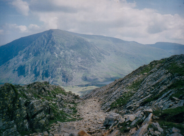
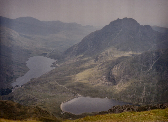
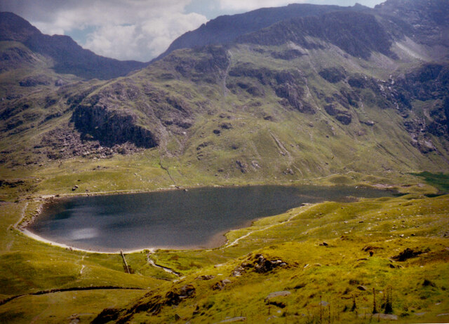
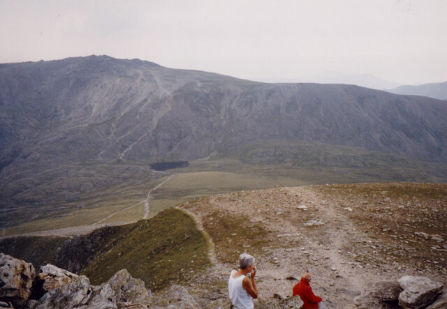
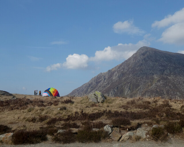
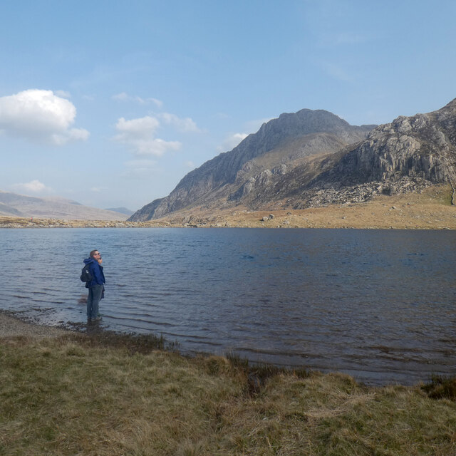
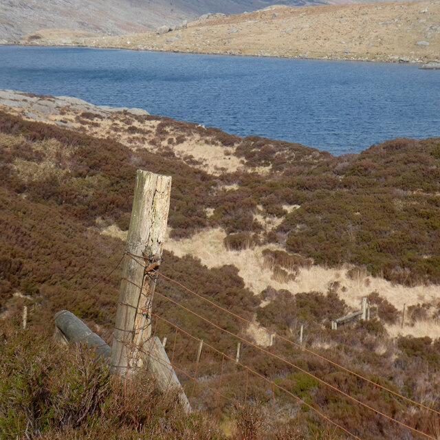
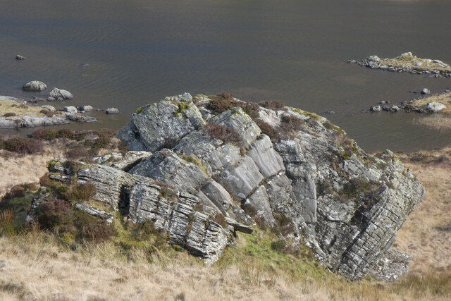
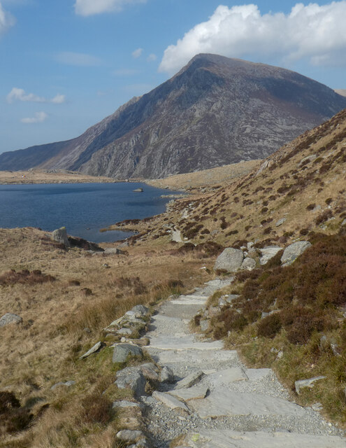
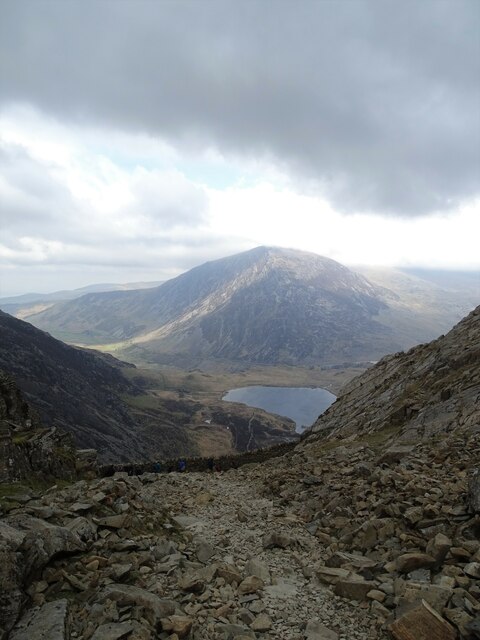
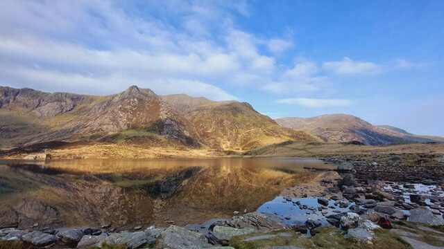
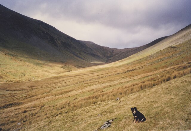
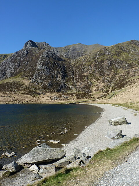
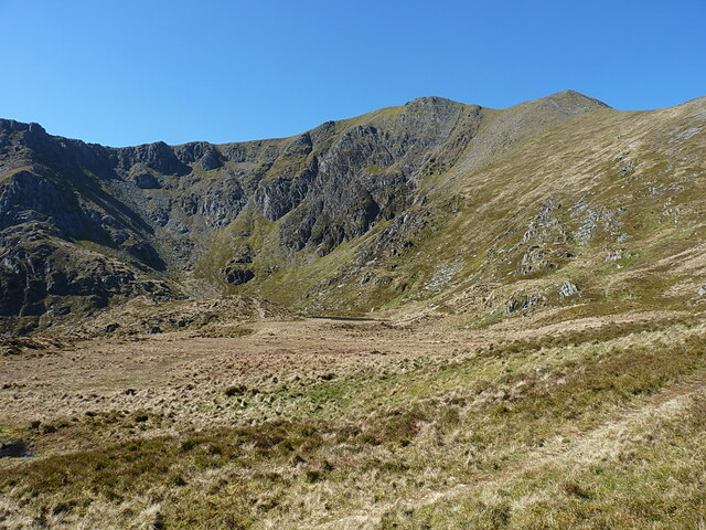
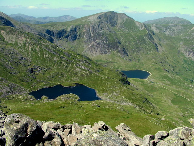
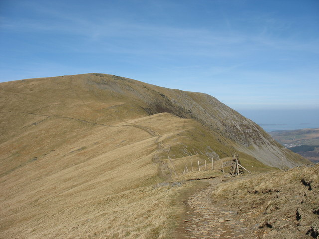
Banana Gully is a picturesque valley located in the historic county of Caernarfonshire, Wales. Nestled in the heart of Snowdonia National Park, this scenic valley is known for its lush greenery, rolling hills, and crystal-clear streams.
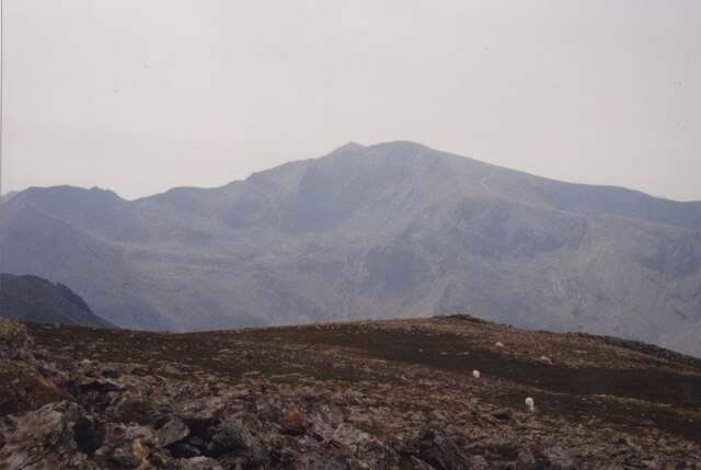
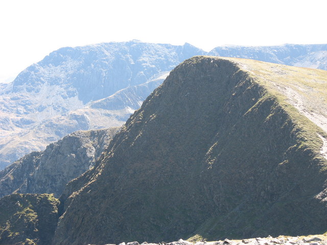
The name "Banana Gully" is said to have originated from the shape of the valley, which resembles the curve of a banana. The valley is surrounded by towering mountains, including the majestic peak of Snowdon, which dominates the landscape.
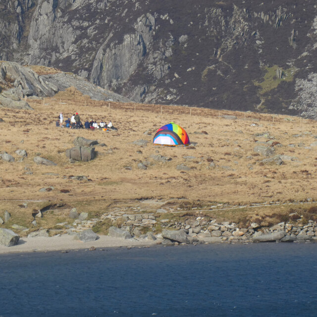
The area is a haven for nature enthusiasts and outdoor adventurers. Hikers and climbers flock to Banana Gully to explore its numerous trails and challenging routes. The valley offers a variety of difficulty levels, catering to both seasoned mountaineers and beginners.
Wildlife is abundant in Banana Gully, with several species of birds, mammals, and plants calling it home. Nature lovers can spot red deer, golden eagles, and rare alpine flowers while traversing the valley's meandering paths.
For those seeking a more relaxed experience, Banana Gully offers breathtaking views for photographers and artists. The changing seasons bring vibrant colors to the landscape, making it a perfect setting for capturing nature's beauty.
The nearby village of Caernarfonshire provides easy access to Banana Gully, offering a range of accommodation options, including quaint bed and breakfasts and self-catering cottages. Local pubs and restaurants showcase the region's culinary delights, with traditional Welsh dishes and locally sourced produce.
In conclusion, Banana Gully is a natural paradise in Caernarfonshire, offering outdoor enthusiasts, nature lovers, and artists a captivating experience amidst the stunning beauty of Snowdonia National Park.
If you have any feedback on the listing, please let us know in the comments section below.
Banana Gully Images
Images are sourced within 2km of 53.118588/-4.0476147 or Grid Reference SH6359. Thanks to Geograph Open Source API. All images are credited.
Banana Gully is located at Grid Ref: SH6359 (Lat: 53.118588, Lng: -4.0476147)
Unitary Authority: Gwynedd
Police Authority: North Wales
What 3 Words
///dynasties.replaying.ritual. Near Llanberis, Gwynedd
Nearby Locations
Related Wikis
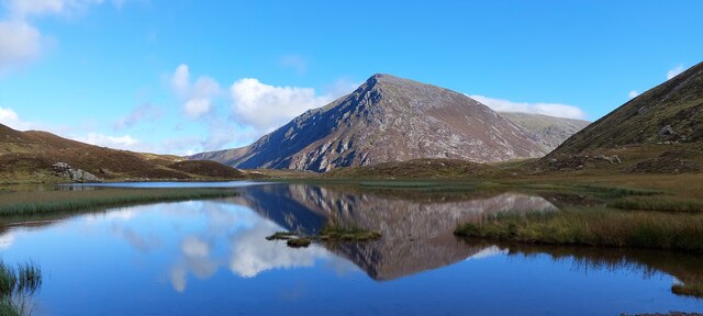
Y Garn (Glyderau)
Y Garn is a mountain in Snowdonia, North Wales, part of the Glyderau. It is one of the Welsh 3000s — the 15 summits in Wales over 3,000 feet (914.4 metres...

Devil's Appendix
The Devil's Appendix (Welsh: Nant Clogwyn y Geifr) is the tallest single-drop waterfall in Wales and one of the tallest in the United Kingdom. It is a...

Cwm Idwal
Cwm Idwal is a cirque (or corrie) in the Glyderau range of mountains in northern Snowdonia, the national park in the mountainous region of North Wales...
Foel-goch
Foel-goch is a mountain in Snowdonia, north-west Wales, and forms part of the Glyderau range, in Gwynedd. It lies in between Y Garn and Mynydd Perfedd...

Llyn Idwal
Llyn Idwal is a small lake (approximately 800 m by 300 m, or 28 acres) that lies within Cwm Idwal in the Glyderau mountains of Snowdonia.It is named after...

Nant Ffrancon Pass
The Nant Ffrancon Pass in Snowdonia, North Wales is at 312 metres (1,024 ft) at Pont Wern-gof, about one-third of a mile beyond the eastern end of Llyn...

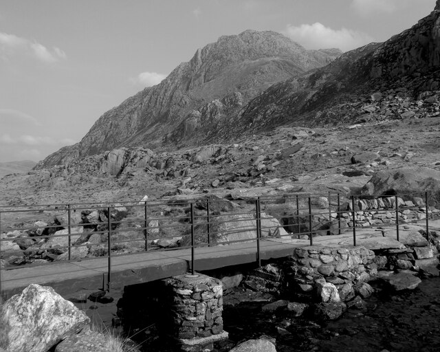
Ogwen Cottage
Ogwen Cottage Outdoor Pursuits Centre is situated beside Llyn Ogwen, in Gwynedd, Wales. It is owned by the National Trust, who bought the property at auction...
Mynydd Perfedd
Mynydd Perfedd is a mountain in Snowdonia, Wales, forming part of the Glyderau. The summit has a shelter cairn, offering good views of Foel-goch's north...
Nearby Amenities
Located within 500m of 53.118588,-4.0476147Have you been to Banana Gully?
Leave your review of Banana Gully below (or comments, questions and feedback).