Cwm Clyd
Corrie (Glacial Valley) in Caernarfonshire
Wales
Cwm Clyd
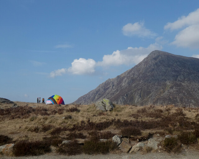
Cwm Clyd, located in Caernarfonshire, Wales, is a stunning glacial valley known for its picturesque landscapes and rich natural heritage. Also referred to as a corrie, this geological feature was formed by the erosion caused by glaciers during the last Ice Age.
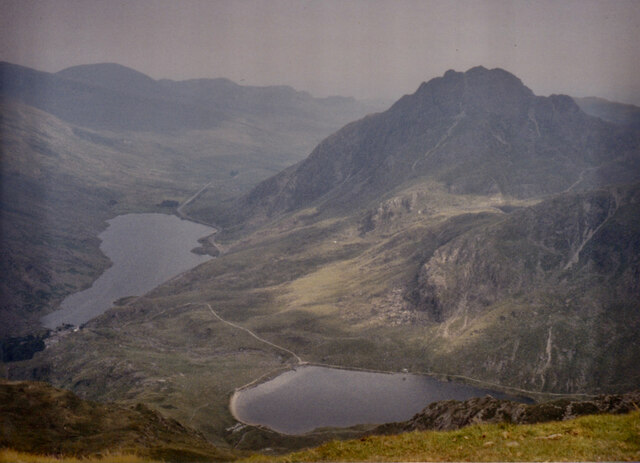
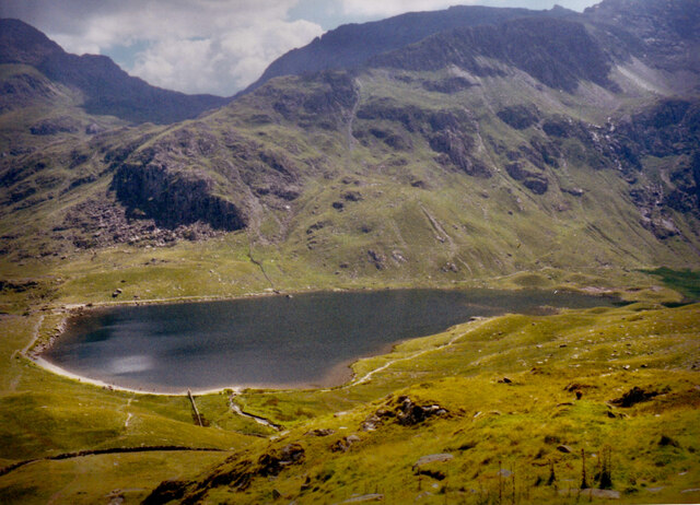
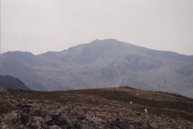
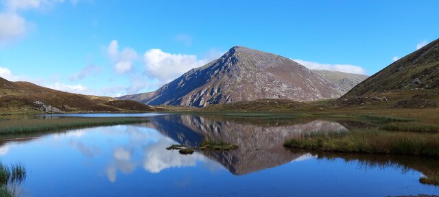
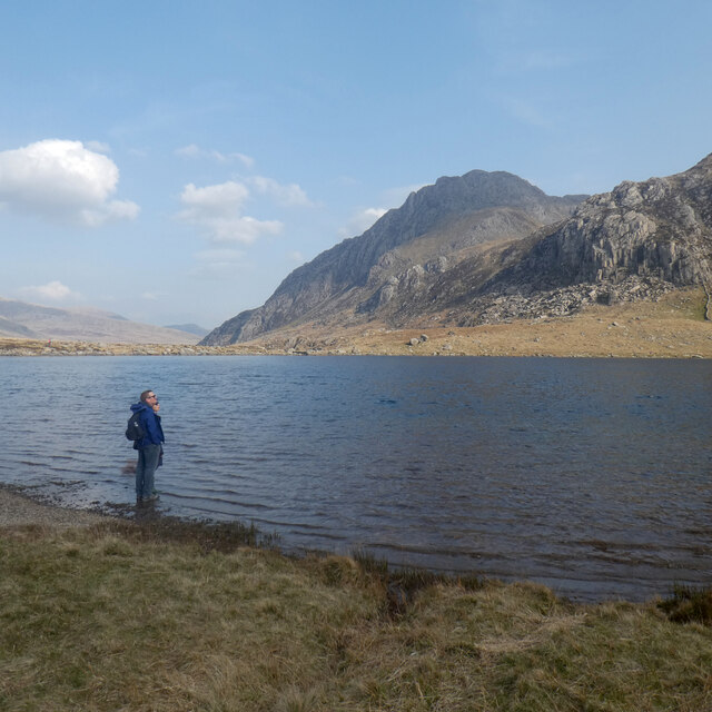
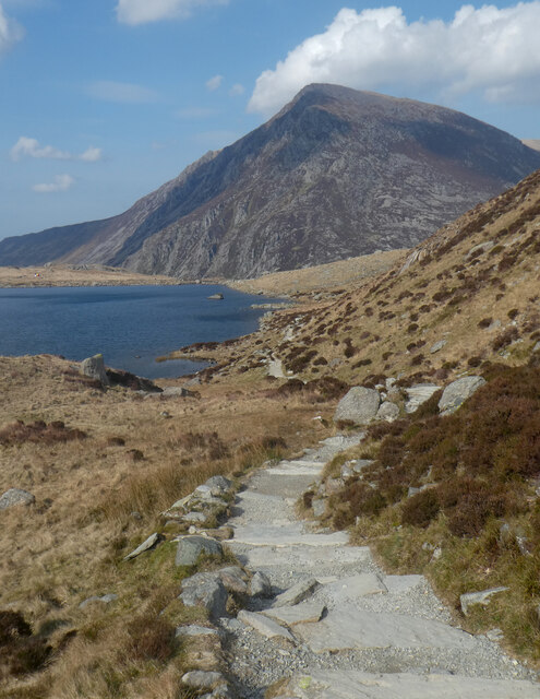
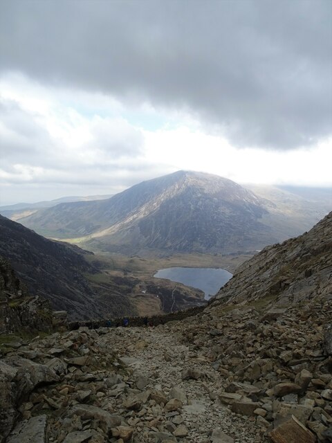
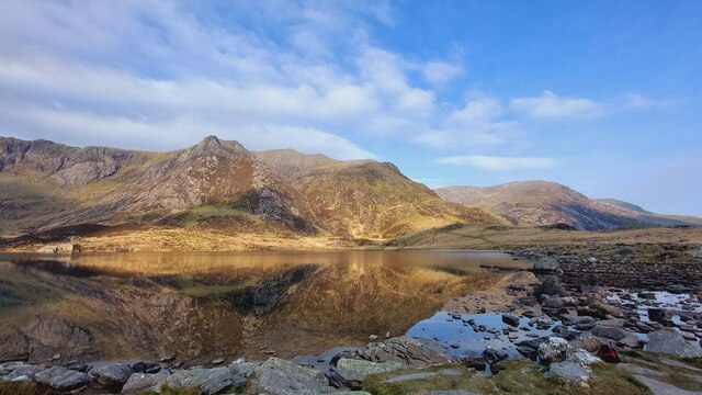
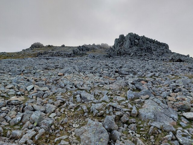
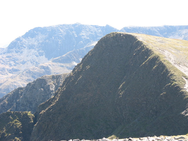
Situated in the Snowdonia National Park, Cwm Clyd is surrounded by majestic mountains, including the iconic Mount Snowdon, which stands as the highest peak in Wales. The valley itself is nestled between steep slopes, displaying a classic U-shaped profile typical of glacial valleys. The lower part of the valley is characterized by a gentle gradient, while the upper sections are marked by rugged cliffs and sharp ridges.
The valley is home to a diverse range of flora and fauna, attracting nature enthusiasts and hikers from far and wide. Lush green meadows, scattered with colorful wildflowers, cover the valley floor, offering a serene and peaceful setting. Visitors may also come across various species of birds, including red kites, peregrine falcons, and ravens, soaring above the cliffs.
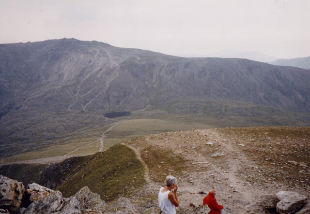
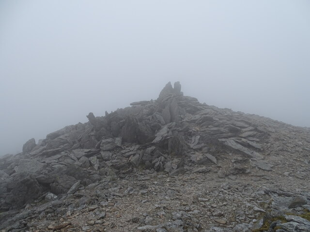
Cwm Clyd provides numerous opportunities for outdoor activities, such as hiking, mountaineering, and nature walks. The valley is intersected by several well-maintained trails, allowing visitors to explore the natural beauty of the area at their own pace. Additionally, the valley serves as a gateway to some of the most challenging and rewarding hikes in Snowdonia, attracting experienced climbers and adventurers.
Overall, Cwm Clyd in Caernarfonshire is a remarkable corrie that showcases the raw beauty of glacial landscapes. Its breathtaking scenery, abundant wildlife, and recreational opportunities make it a must-visit destination for nature lovers and outdoor enthusiasts alike.
If you have any feedback on the listing, please let us know in the comments section below.
Cwm Clyd Images
Images are sourced within 2km of 53.117231/-4.0413038 or Grid Reference SH6359. Thanks to Geograph Open Source API. All images are credited.
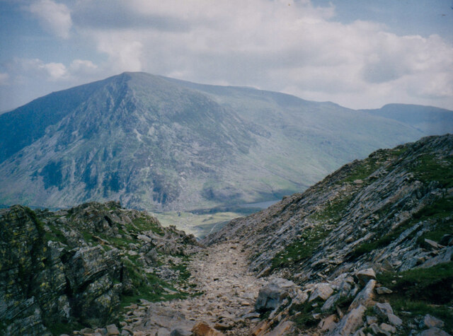
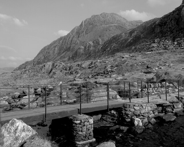
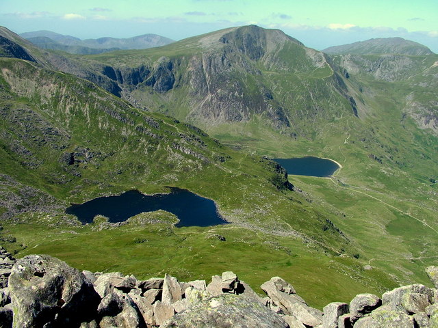
![Across the cwm to Y Gribin At the end of a 'bucket list' ascent of Bristly Ridge [never to be repeated thanks], nearing the summit plateau of Glyder Fach, and with a view across a deep cwm to the rocky ridge of Y Gribin. Y Garn [947m] in the distance.](https://s3.geograph.org.uk/geophotos/07/06/90/7069079_b923b72e.jpg)
Cwm Clyd is located at Grid Ref: SH6359 (Lat: 53.117231, Lng: -4.0413038)
Unitary Authority: Gwynedd
Police Authority: North Wales
What 3 Words
///outfit.shoulders.tall. Near Llanberis, Gwynedd
Nearby Locations
Related Wikis
Y Garn (Glyderau)
Y Garn is a mountain in Snowdonia, North Wales, part of the Glyderau. It is one of the Welsh 3000s — the 15 summits in Wales over 3,000 feet (914.4 metres...

Cwm Idwal
Cwm Idwal is a cirque (or corrie) in the Glyderau range of mountains in northern Snowdonia, the national park in the mountainous region of North Wales...

Devil's Appendix
The Devil's Appendix (Welsh: Nant Clogwyn y Geifr) is the tallest single-drop waterfall in Wales and one of the tallest in the United Kingdom. It is a...

Llyn Idwal
Llyn Idwal is a small lake (approximately 800 m by 300 m, or 28 acres) that lies within Cwm Idwal in the Glyderau mountains of Snowdonia.It is named after...
Foel-goch
Foel-goch is a mountain in Snowdonia, north-west Wales, and forms part of the Glyderau range, in Gwynedd. It lies in between Y Garn and Mynydd Perfedd...

Nant Ffrancon Pass
The Nant Ffrancon Pass in Snowdonia, North Wales is at 312 metres (1,024 ft) at Pont Wern-gof, about one-third of a mile beyond the eastern end of Llyn...

Ogwen Cottage
Ogwen Cottage Outdoor Pursuits Centre is situated beside Llyn Ogwen, in Gwynedd, Wales. It is owned by the National Trust, who bought the property at auction...

Glyderau
The Glyderau (a Welsh plural form, also known in English as the Glyders) are a mountain group in Snowdonia, North Wales. The name derives from the highest...
Nearby Amenities
Located within 500m of 53.117231,-4.0413038Have you been to Cwm Clyd?
Leave your review of Cwm Clyd below (or comments, questions and feedback).