Blatchford Bottom
Valley in Devon South Hams
England
Blatchford Bottom
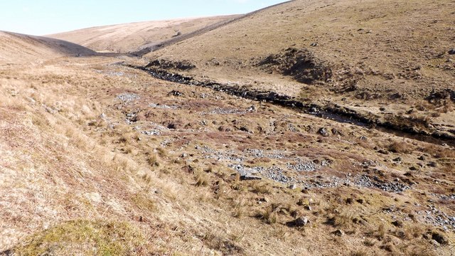
Blatchford Bottom, Devon, is a picturesque valley located in the southwestern region of England. Nestled within the beautiful countryside of Devon, this tranquil spot offers visitors a unique blend of natural beauty and historical significance.
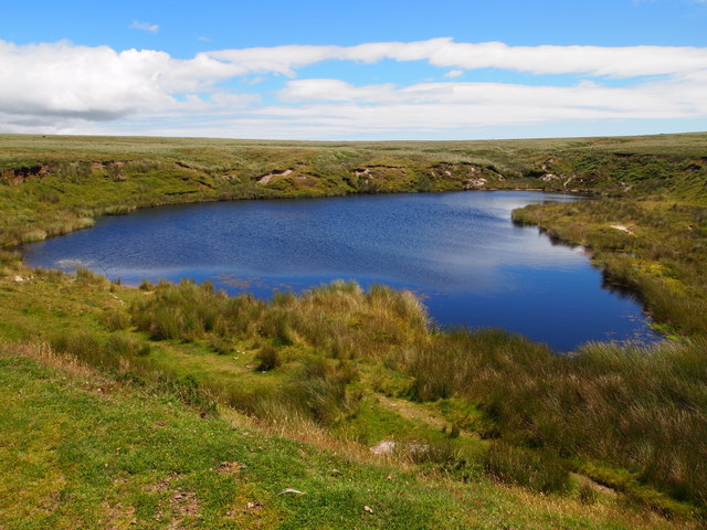
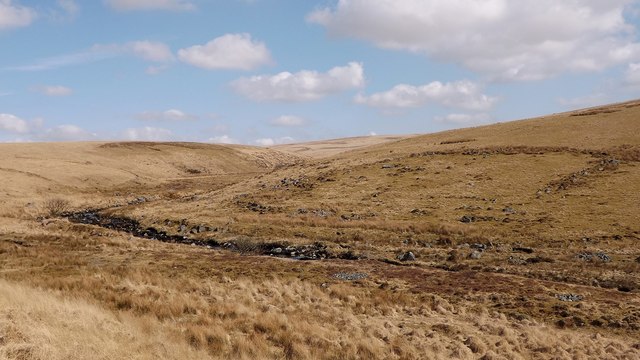
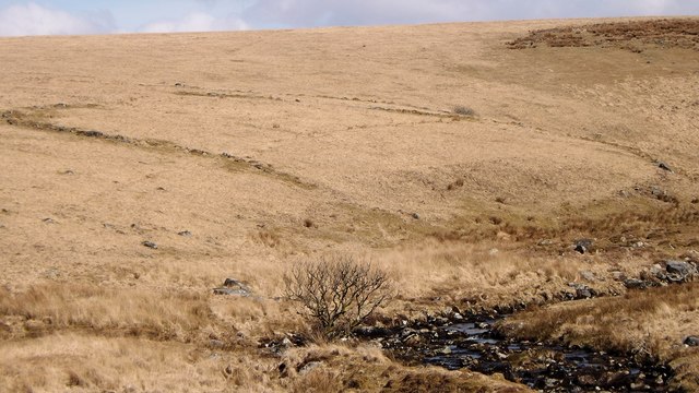
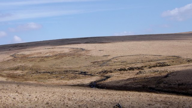
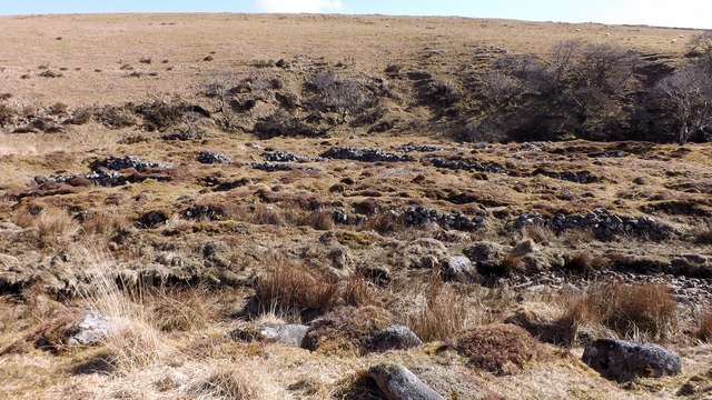
The valley is characterized by its rolling hills, lush green meadows, and a meandering river that flows through its heart. The landscape is dotted with charming farmhouses and cottages, adding to the area's rustic charm. The valley is also home to a diverse range of flora and fauna, making it a haven for nature lovers and wildlife enthusiasts.
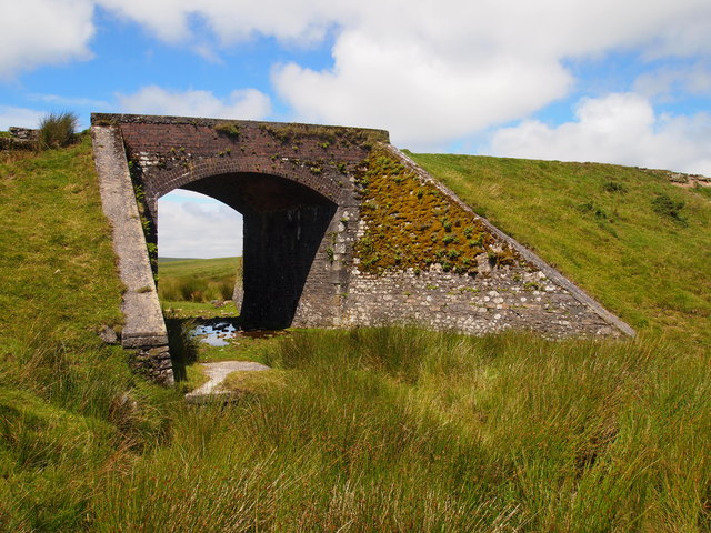
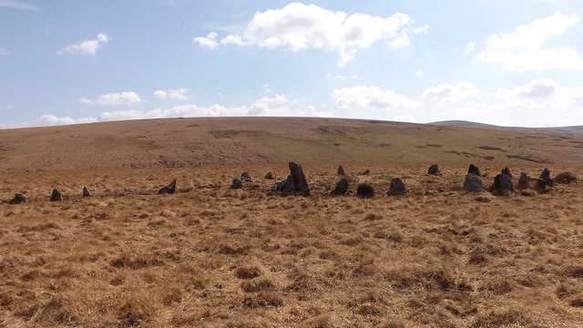
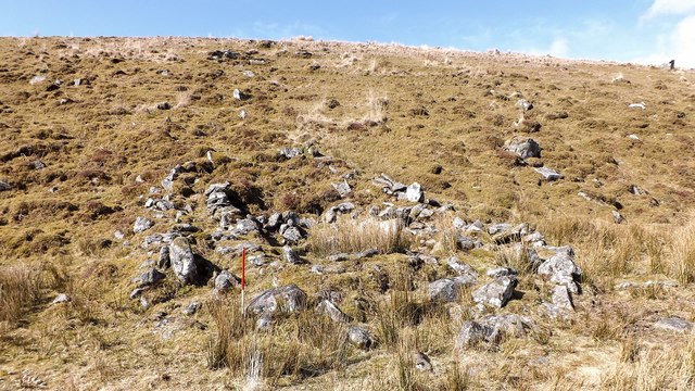
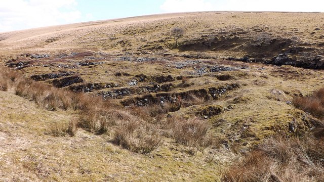
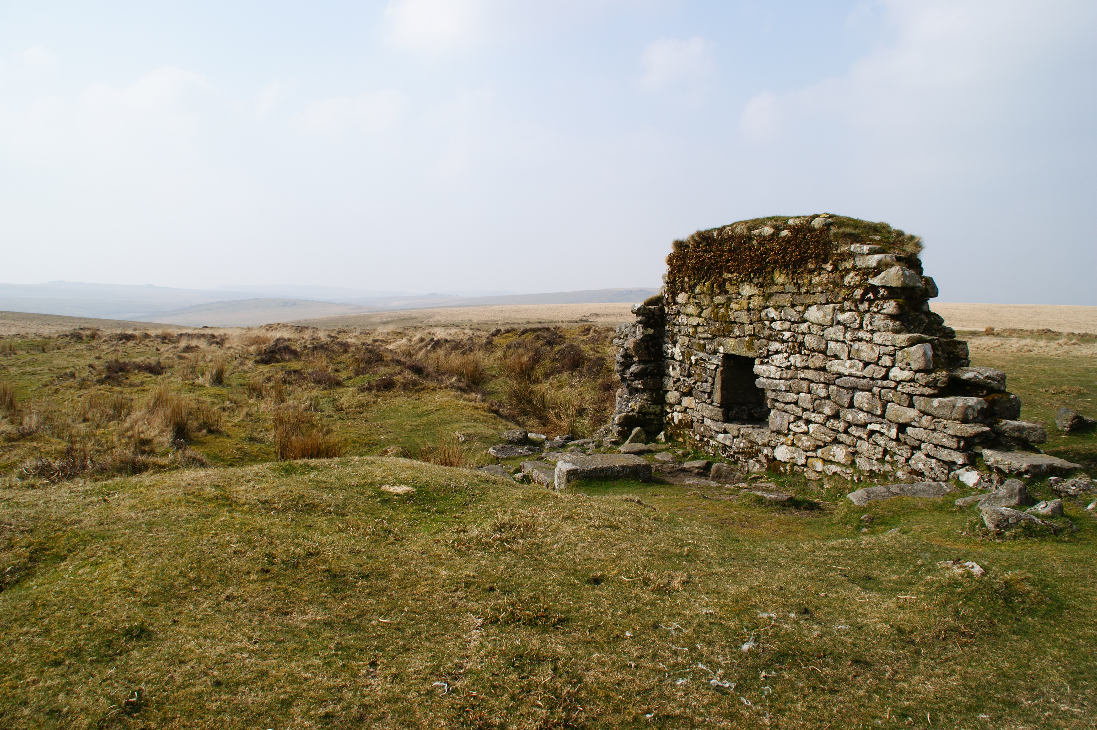
Blatchford Bottom has a rich history that dates back centuries. It was once a thriving farming community, and remnants of this agricultural heritage can still be seen today. Stone walls, old barns, and traditional farm buildings serve as reminders of its past.
For outdoor enthusiasts, Blatchford Bottom offers a plethora of activities. The valley is crisscrossed with walking trails, providing ample opportunities for hikers to explore the stunning countryside. The river that runs through the valley is a popular spot for fishing and canoeing, while the surrounding hills offer excellent opportunities for cycling and horseback riding.
In addition to its natural beauty, Blatchford Bottom is also known for its idyllic rural lifestyle. The local community is tight-knit and welcoming, and visitors can experience the warmth and hospitality of the locals by staying in one of the charming bed and breakfasts or guesthouses in the area.
Overall, Blatchford Bottom, Devon, is a hidden gem that offers a perfect blend of natural beauty, rich history, and a peaceful rural lifestyle. It is a place where visitors can escape the hustle and bustle of city life and immerse themselves in the tranquility of the countryside.
If you have any feedback on the listing, please let us know in the comments section below.
Blatchford Bottom Images
Images are sourced within 2km of 50.461563/-3.9301042 or Grid Reference SX6364. Thanks to Geograph Open Source API. All images are credited.


Blatchford Bottom is located at Grid Ref: SX6364 (Lat: 50.461563, Lng: -3.9301042)
Administrative County: Devon
District: South Hams
Police Authority: Devon and Cornwall
What 3 Words
///furnish.gilding.duet. Near South Brent, Devon
Nearby Locations
Related Wikis

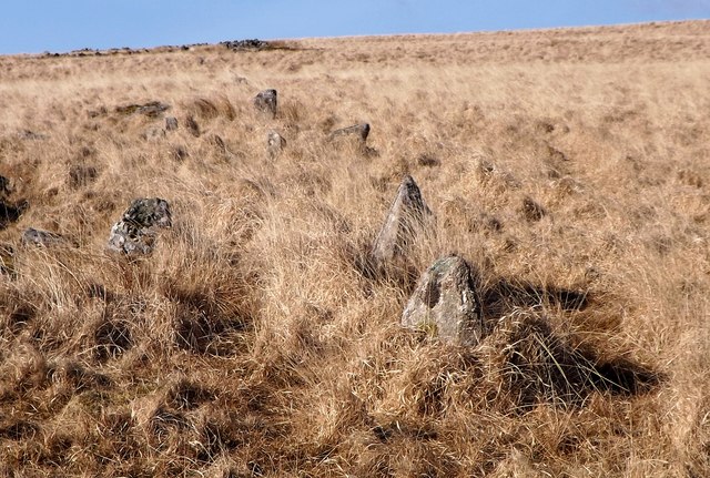
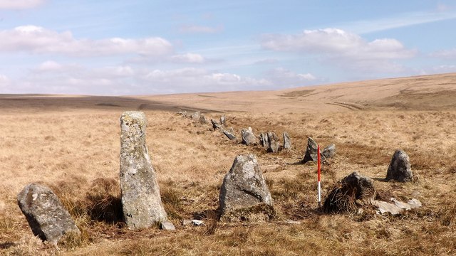
Stalldown Barrow
Stalldown Barrow, sometimes called Staldon, is a megalithic site in Devon, about 5 km from Harford. It consists of a long stone row. It is fairly close...
Eylesbarrow mine
Eylesbarrow mine was a tin mine on Dartmoor, Devon, England that was active during the first half of the 19th century. In its early years it was one of...

Duck's Pool, Dartmoor
Duck's Pool is a small depression set in a remote location in the southern half of Dartmoor, Devon, England at grid reference SX624678. It lies between...

Dendles Wood
Dendles Wood is an area of protected oak-beech woodland located on the southern edge of Dartmoor, in the English county of Devon. Forming part of the Dartmoor...

Upper Plym Valley
The Upper Plym Valley is an area of Dartmoor, Devon, England, particularly noted for a large array of archaeological sites ranging from prehistoric Drizzlecombe...

Drizzlecombe
Drizzlecombe or Thrushelcombe is an area of Dartmoor in the county of Devon, England, containing a number of Bronze Age stone rows, cairns and menhirs...

Harford, Devon
Harford is a hamlet and civil parish located approximately 2 miles (3.2 km) north of the town of Ivybridge in the county of Devon, England. The parish...
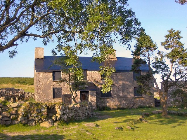
Ditsworthy Warren House
Ditsworthy Warren House is a Grade II listed building near Sheepstor in Devon, England. It is an isolated building on the south-western edge of Dartmoor...
Have you been to Blatchford Bottom?
Leave your review of Blatchford Bottom below (or comments, questions and feedback).