Alder Glen
Valley in Ayrshire
Scotland
Alder Glen
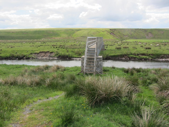
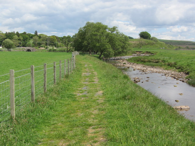
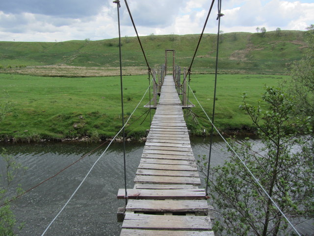
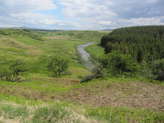
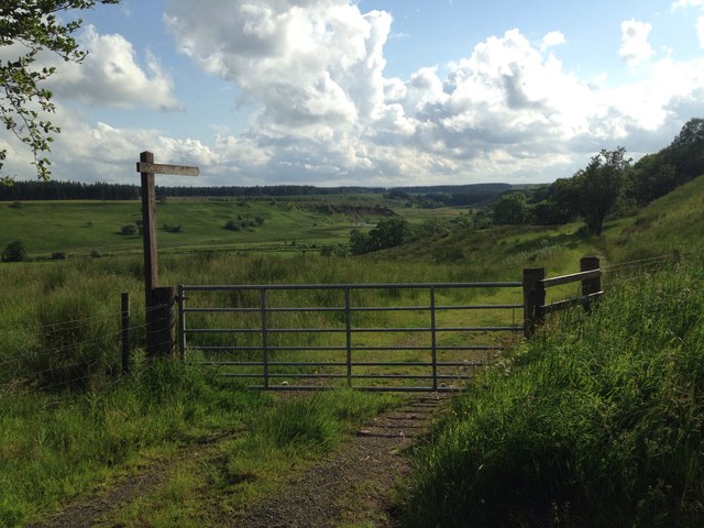
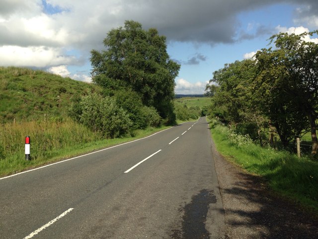
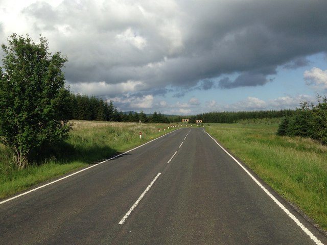
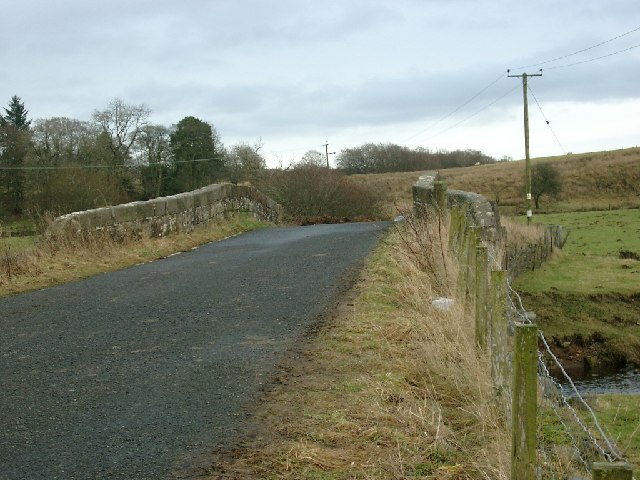
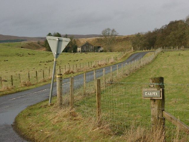
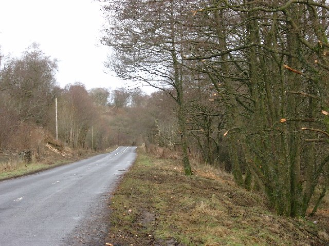
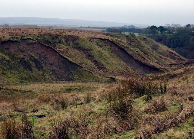
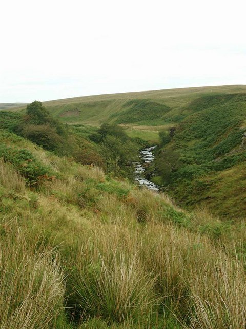
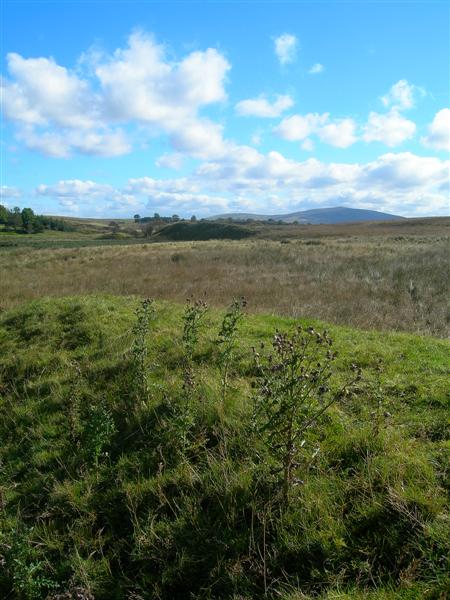
Alder Glen is a picturesque valley located in Ayrshire, Scotland. Situated amidst rolling hills and lush greenery, it is renowned for its stunning natural beauty and tranquil atmosphere. The glen is named after the alder trees that line its banks, adding to its charm and character.
The valley is a haven for wildlife enthusiasts and nature lovers, offering a diverse range of flora and fauna. Visitors can spot a variety of bird species, including buzzards, kingfishers, and owls, as well as deer and other small mammals. The glen is also home to a rich and diverse plant life, with wildflowers, ferns, and mosses adorning the landscape.
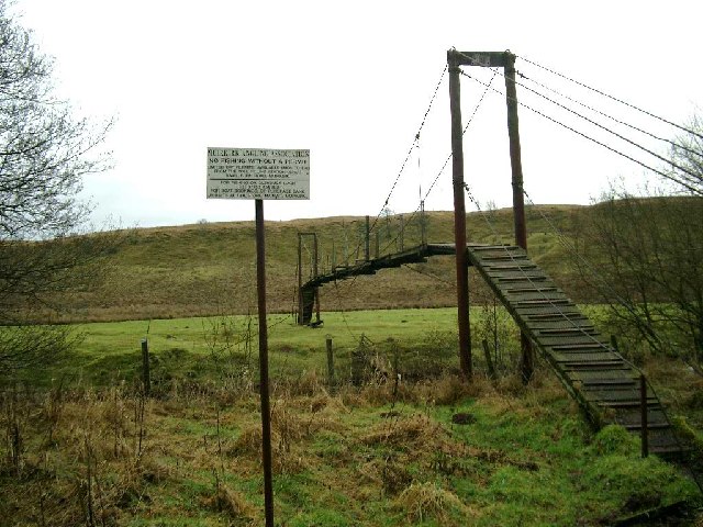
Alder Glen is a popular destination for outdoor activities such as hiking and picnicking. Several well-marked trails crisscross the valley, allowing visitors to explore its natural wonders at their own pace. The glen is particularly famous for its scenic waterfalls, with cascades of crystal-clear water tumbling down moss-covered rocks.
The valley also boasts a rich history, with several ancient sites and ruins scattered throughout. The remains of a medieval castle can be found on a hilltop, providing a glimpse into the region's past. Additionally, there are remnants of old settlements and stone circles, adding an air of mystery to the glen.
Overall, Alder Glen is a hidden gem in Ayrshire, offering visitors a chance to immerse themselves in the beauty of nature and experience the tranquility of the Scottish countryside. Whether it's exploring the trails, birdwatching, or simply enjoying a picnic by the waterfalls, this valley is a must-visit destination for anyone seeking a peaceful retreat in the heart of Scotland.
If you have any feedback on the listing, please let us know in the comments section below.
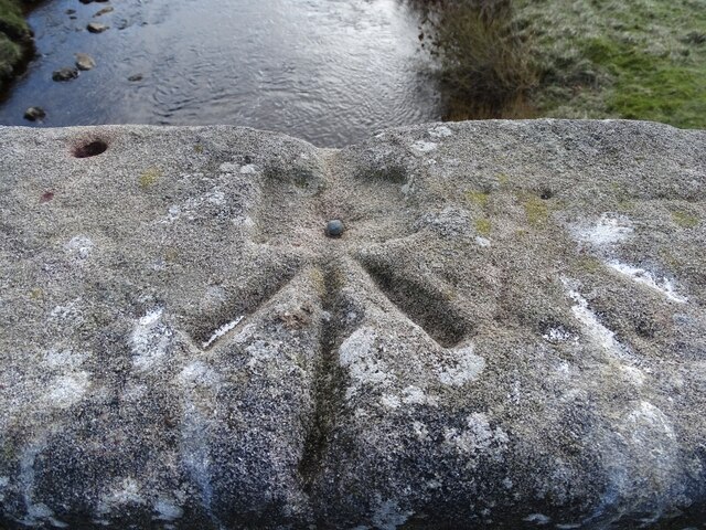
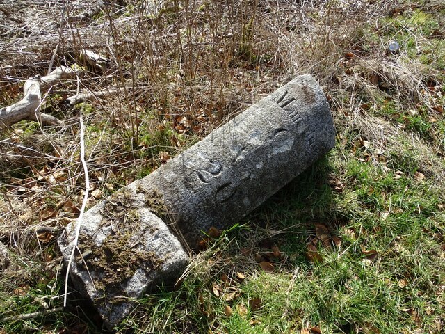
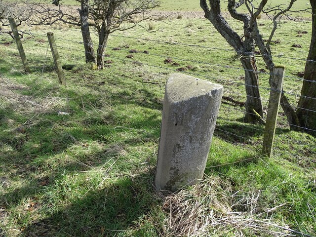
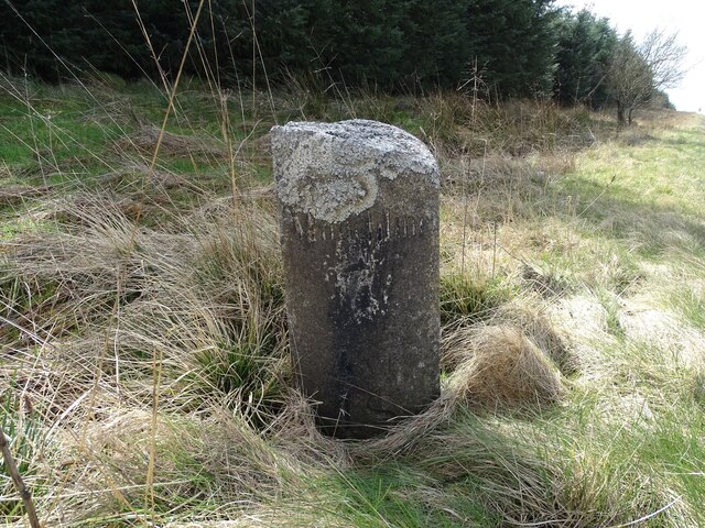
Alder Glen Images
Images are sourced within 2km of 55.51074/-4.1961493 or Grid Reference NS6126. Thanks to Geograph Open Source API. All images are credited.
Alder Glen is located at Grid Ref: NS6126 (Lat: 55.51074, Lng: -4.1961493)
Unitary Authority: East Ayrshire
Police Authority: Ayrshire
What 3 Words
///dreamers.acids.rejoin. Near Logan, East Ayrshire
Nearby Locations
Related Wikis

Garpel Linn
Garpel Linn is a waterfall of Scotland. == See also == Waterfalls of Scotland == References ==

Greenock Water
Greenock Water is a river in East Ayrshire, Scotland. It flows out of the Dippal Burn, about 2 miles south of Dungavel Hill. A tributary of the River Ayr...
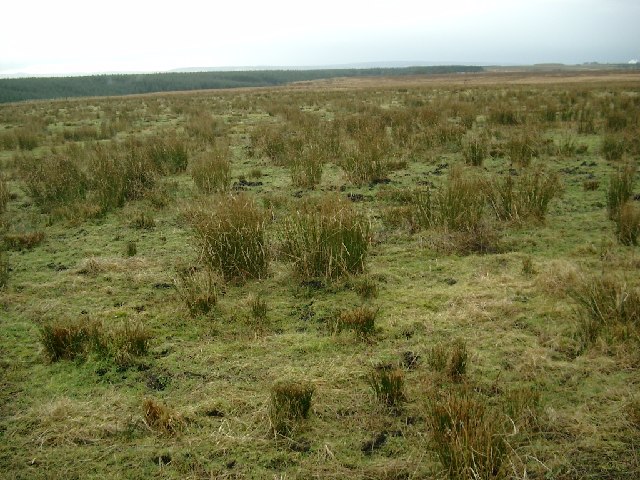
Airds Moss
Airds Moss is a large area of moor in East Ayrshire, the site is a protected area because of the extensive blanket bogs. In 1680 it was the location of...
Medieval turf building in Cronberry
Excavations in Cronberry, East Ayrshire, Scotland by Headland Archaeology revealed a medieval turf building and a nearby enclosure of unknown date. The...
Have you been to Alder Glen?
Leave your review of Alder Glen below (or comments, questions and feedback).