Leny Glen

Valley in Perthshire

Scotland

Leny Glen

Tesco Express, Callander
Tesco Express, Callander Credit: Steven Brown

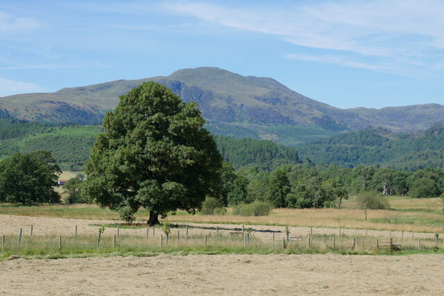
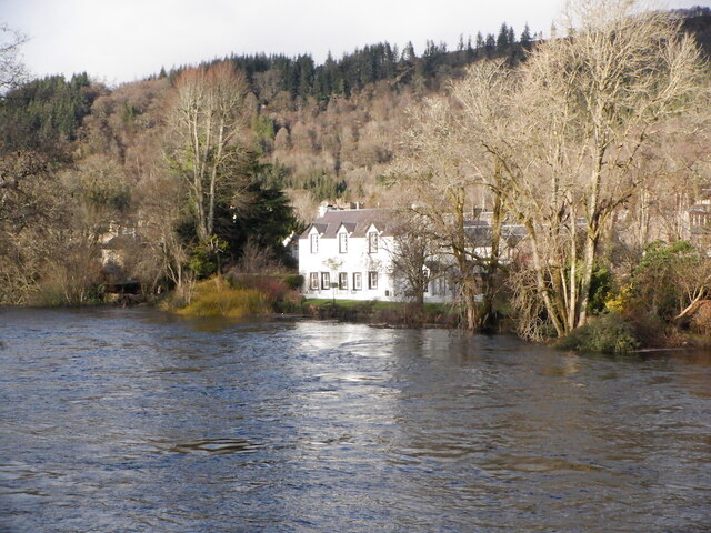
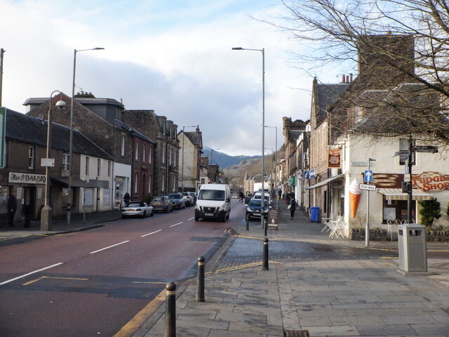
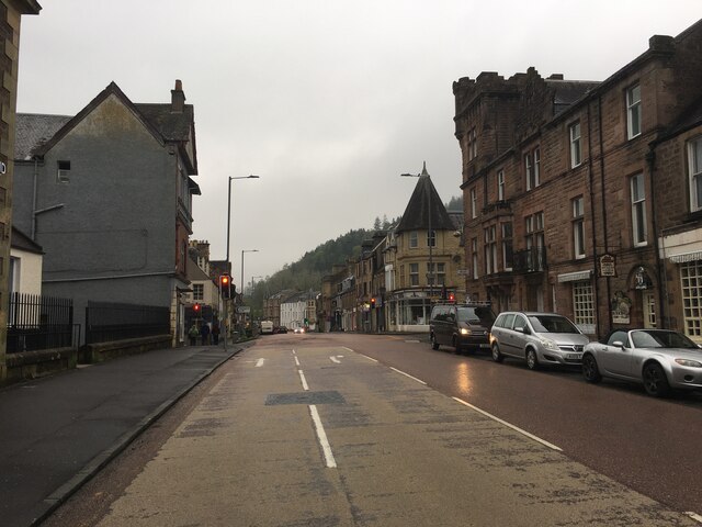
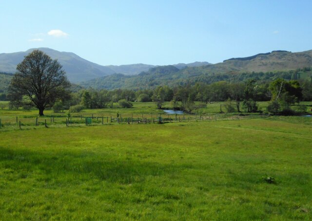
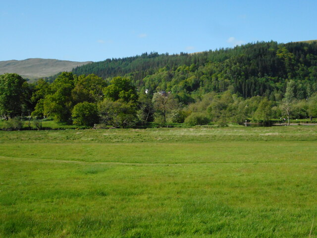
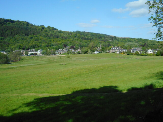
Leny Glen is a picturesque valley located in Perthshire, Scotland. Nestled within the stunning Trossachs National Park, it is renowned for its natural beauty and breathtaking landscapes. The glen is situated near the town of Callander and is easily accessible by road.

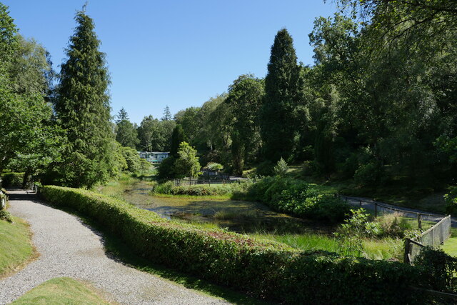
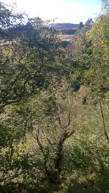
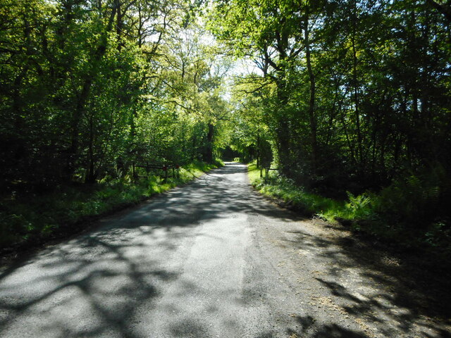
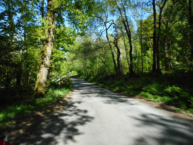
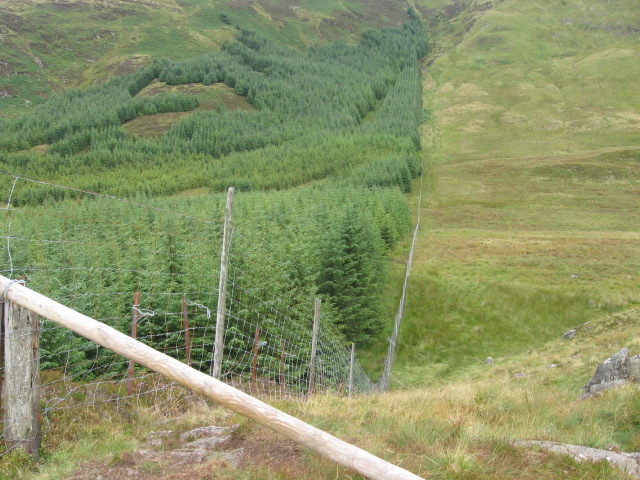
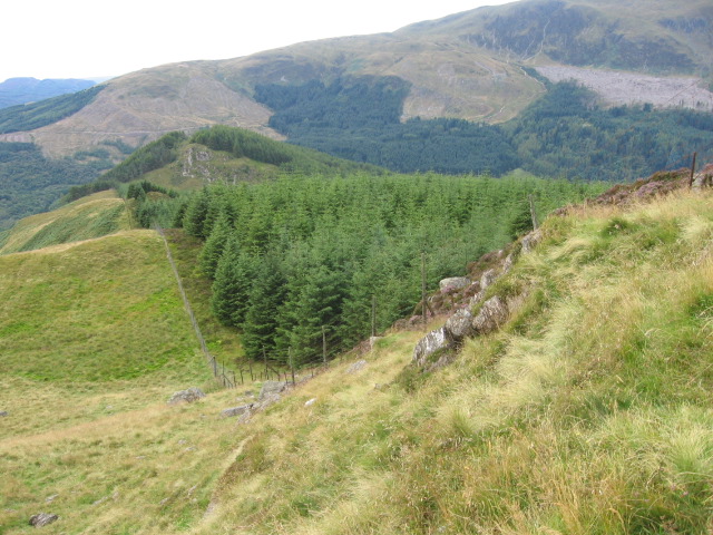
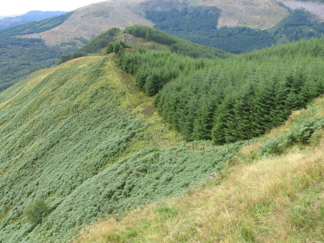
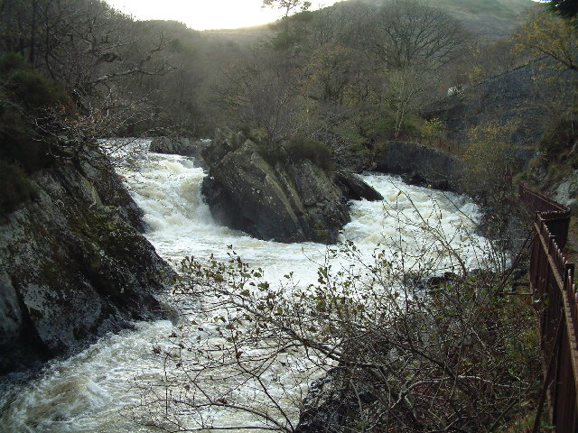
Leny Glen is characterized by its lush greenery, dense forests, and tranquil atmosphere. The valley is intersected by the winding Leny River, which adds to its charm. The river offers opportunities for fishing and is a popular spot for anglers seeking trout and salmon.

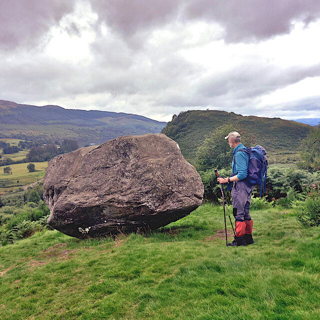
The surrounding hills and mountains provide a stunning backdrop to the glen, making it a paradise for hikers and nature enthusiasts. There are numerous walking trails that cater to all levels of fitness, offering stunning views of the glen and the surrounding area.

Wildlife is abundant in Leny Glen, with sightings of red deer, red squirrels, and a variety of bird species being common. The glen is a haven for birdwatchers, who can spot species such as golden eagles, peregrine falcons, and ospreys.

Leny Glen is also steeped in history, with ancient ruins and archaeological sites scattered throughout the area. The Glen Finglas Reservoir, located at the head of the glen, is an important historical site and is managed by the Woodland Trust.

Overall, Leny Glen is a must-visit destination for those seeking tranquility, natural beauty, and outdoor activities. Whether it's hiking, fishing, or simply immersing oneself in the stunning landscapes, this valley offers a truly memorable experience.

If you have any feedback on the listing, please let us know in the comments section below.
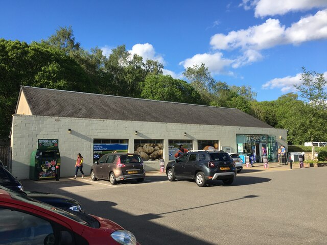
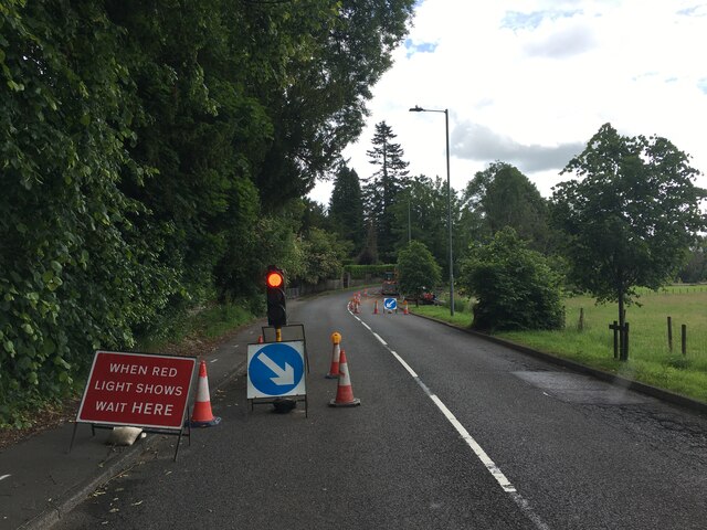
Leny Glen Images

Images are sourced within 2km of 56.253826/-4.2388714 or Grid Reference NN6109. Thanks to Geograph Open Source API. All images are credited.

Tesco Express, Callander
Roadworks on the A84 approaching Callander
Making hay whilst the sun shines Hay fields by the Eas Gobhain at Callander, with the backdrop of Ben Ledi.

This photograph was taken during the Coronavirus (COVID-19) pandemic of 2020/21/22.
Making hay whilst the sun shines
Hay fields by the Eas Gobhain at Callander, with the backdrop of Ben Ledi. This photograph was taken during the Coronavirus (COVID-19) pandemic of 2020/21/22.
The pond in Callander Holiday Park There have been quite a few changes in the site since I holidayed there 30 years previously.  The pond still remains, with grounds more neatly manicured now.

This photograph was taken during the Coronavirus (COVID-19) pandemic of 2020/21/22.
The pond in Callander Holiday Park
There have been quite a few changes in the site since I holidayed there 30 years previously. The pond still remains, with grounds more neatly manicured now. This photograph was taken during the Coronavirus (COVID-19) pandemic of 2020/21/22.
Above Eas Dearg The South bank of Eas Dearg - which roughly translates from the Gaelic as 'fast-flowing red burn', although I didn't notice the water colour being anything unusual - is extremely steep. Had I known it was quite so steep I wouldn't have made the  heart-racing climb to the top, but fallen trees and very bushy bushes put paid to my original plan of following the course of the burn to the main road below, and it always looked a bit easier to make my way through increasingly higher ground...until it got a bit dangerous - but at a certain point, there is no going back!
And there is always a certain high when getting to the top of such a climb - having had to test out shrub trunks' ability to take your weight for a good while, whilst always trying not to look down - with your body pretty much intact. That will do for this year's adrenaline excitement I think!
Above Eas Dearg
The South bank of Eas Dearg - which roughly translates from the Gaelic as 'fast-flowing red burn', although I didn't notice the water colour being anything unusual - is extremely steep. Had I known it was quite so steep I wouldn't have made the heart-racing climb to the top, but fallen trees and very bushy bushes put paid to my original plan of following the course of the burn to the main road below, and it always looked a bit easier to make my way through increasingly higher ground...until it got a bit dangerous - but at a certain point, there is no going back! And there is always a certain high when getting to the top of such a climb - having had to test out shrub trunks' ability to take your weight for a good while, whilst always trying not to look down - with your body pretty much intact. That will do for this year's adrenaline excitement I think!
River Teith, Callander
Main Street, Callander Taken while waiting for a bus.
Main Street, Callander
Taken while waiting for a bus.
A84 in Callander
A84 in Callander
Minor road to Gartchonzie From Callander.
Minor road to Gartchonzie
From Callander.
Minor road to Callander From Gartchonzie.
Minor road to Callander
From Gartchonzie.
Eas Gobhain The river meanders slightly just before being joined by the Garbh Uisge, just out of view to the right.
Eas Gobhain
The river meanders slightly just before being joined by the Garbh Uisge, just out of view to the right.
Hidden confluence The Eas Gobhain is joined by the Garbh Uisge (just visible on the right).
Hidden confluence
The Eas Gobhain is joined by the Garbh Uisge (just visible on the right).
View towards Callander With the Eas Gobhain flowing through the left centre of the view.
View towards Callander
With the Eas Gobhain flowing through the left centre of the view.
Samson's Stone Glacial erratic near the summit of Bochastle Hill.
The Knoll behind is Dunmore Hillfort.
Dunmore Hillfort is set on the slopes below Ben Ledi. Its western side, which would otherwise have been the most easily accessible, is defended by a system of banks and ditches.
Dunmore <span class="nowrap"><a title="https://canmore.org.uk/site/24375/dunmore" rel="nofollow ugc noopener" href="https://canmore.org.uk/site/24375/dunmore">Link</a><img style="margin-left:2px;" alt="External link" title="External link - shift click to open in new window" src="https://s1.geograph.org.uk/img/external.png" width="10" height="10"/></span>
Samson's Stone
Glacial erratic near the summit of Bochastle Hill. The Knoll behind is Dunmore Hillfort. Dunmore Hillfort is set on the slopes below Ben Ledi. Its western side, which would otherwise have been the most easily accessible, is defended by a system of banks and ditches. Dunmore LinkExternal link
Meall Biorach to Coire a' Chamalaid
Forest edge on Meall Biorach
Forest edge near Creag Bheithe
Moorland near Allt na Luirge
Show me another place!

Leny Glen is located at Grid Ref: NN6109 (Lat: 56.253826, Lng: -4.2388714)

Unitary Authority: Stirling

Police Authority: Forth Valley

What 3 Words

///sourcing.vaccines.bridges. Near Callander, Stirling

Nearby Locations

Leny Glen

Related Wikis

Kilmahog

Kilmahog (Scottish Gaelic: Cille MoChùig: Cell of St. Chug) is a hamlet situated half a mile to the west of Callander, Scotland. == Toponym == Kilmahog...

Stirlingshire

Stirlingshire or the County of Stirling (Scottish Gaelic: Siorrachd Sruighlea [ˈʃirˠəxk ˈs̪t̪ɾuʝlə]) is a historic county and registration county of Scotland...

Garbh Uisge

Garbh Uisge is a river of approximately 7 km in the Trossachs of Scotland just north-west Callander. It is the outflow of Loch Lubnaig and joins with Eas...

Callander railway station

Callander was a railway station located in Callander, in the council area of Stirling, Scotland. == History == The first station at Callander was a terminus...

Related Videos

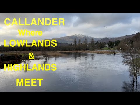
Callander Scotland walking video 4K

This lovely town is located near Stirling in Scotland. It houses a camp site and a variety of small shops and lovely eateries.

Callander the Gateway to the Scottish Highlands #scotland #walking #callander

Join me as I take you on a walk through a Beautiful town known as Callander, it is known as the gateway to the Highlands of ...

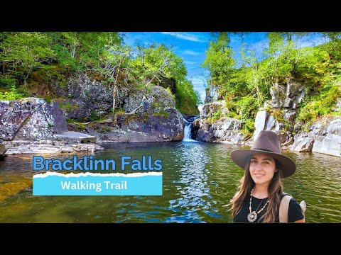
Stirling Walking Trail - Bracklinn Falls

This walking trail in Stirling, follows the path to Bracklinn Falls and over to Callander Crags before returning through the small ...

Nearby Amenities

Located within 500m of 56.253826,-4.2388714
Power: pole
Lat/Long: 56.2519086/-4.2370831
Power: pole
Lat/Long: 56.2516564/-4.2363803
Power: pole
Lat/Long: 56.2513159/-4.2354976
Power: pole
Lat/Long: 56.2509522/-4.2346546
Power: pole
Lat/Long: 56.2505559/-4.233843
The data included in this document is from www.openstreetmap.org. The data is made available under ODbL.

Have you been to Leny Glen?

Leave your review of Leny Glen below (or comments, questions and feedback).