Tulloch Hill

Hill, Mountain in Ayrshire

Scotland

Tulloch Hill

Benchmark on Milestone Benchmark on top of milestone beside the B743.
Muirkirk 5 and-a-half miles on one side of the milestone,
Mauchline 8 and Ayr 19 on the other side.
Photo taken on the 18th March, 2022.
Benchmark on Milestone Credit: Rab McMurdo

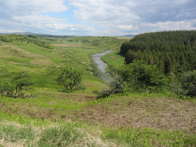
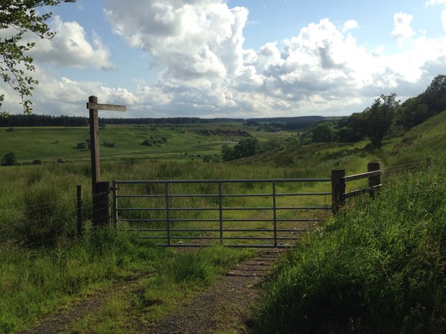
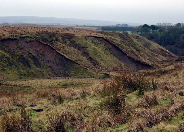
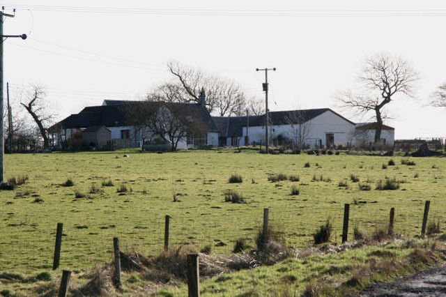
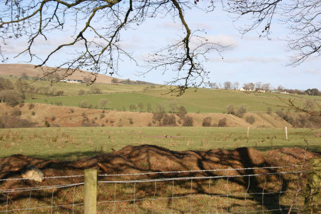
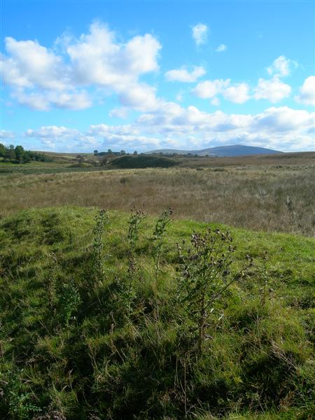
Tulloch Hill is a prominent hill located in Ayrshire, Scotland. Located near the town of Mauchline, it forms part of the Southern Uplands range, which extends across the region. Standing at an elevation of approximately 364 meters (1,194 feet), Tulloch Hill offers breathtaking panoramic views of the surrounding countryside.

The hill is characterized by its gently sloping terrain, covered in lush green vegetation. Its summit is marked by a trig point, which serves as a popular landmark for hikers and nature enthusiasts. The path leading to the top is well-defined, making it accessible for walkers of all levels of experience.

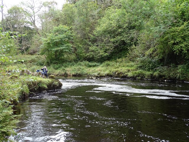
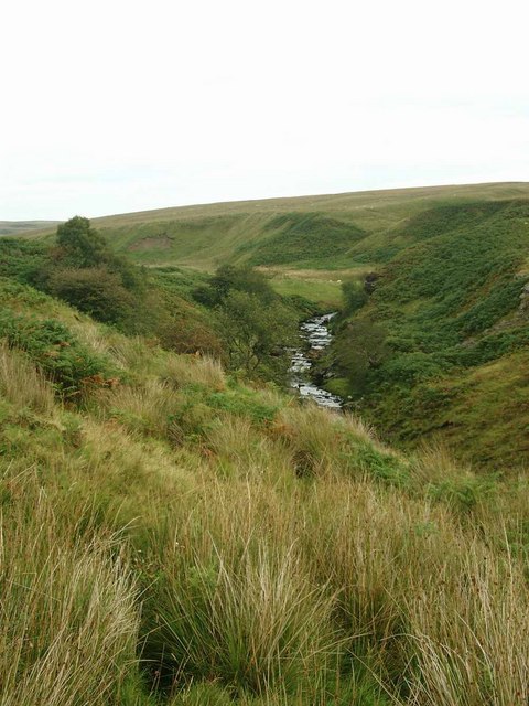
Tulloch Hill is known for its rich biodiversity, with a variety of plant and animal species inhabiting its slopes. The hill is home to heather, bracken, and gorse, providing a vibrant tapestry of colors during the summer months. Wildlife such as red grouse, roe deer, and various bird species can often be spotted in the area.

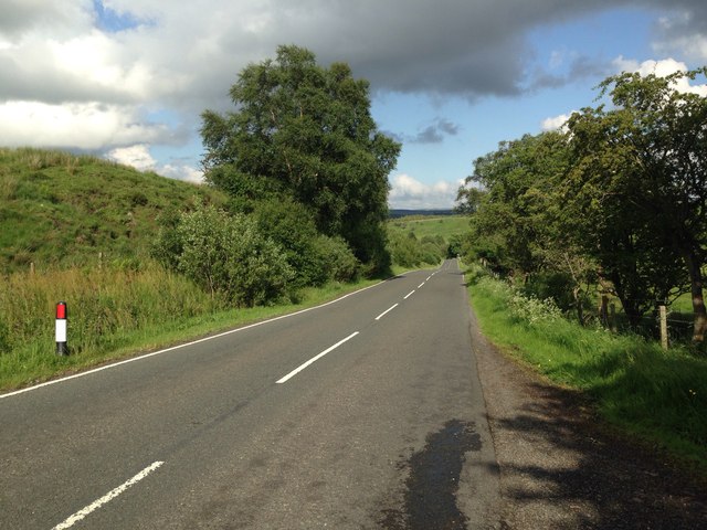
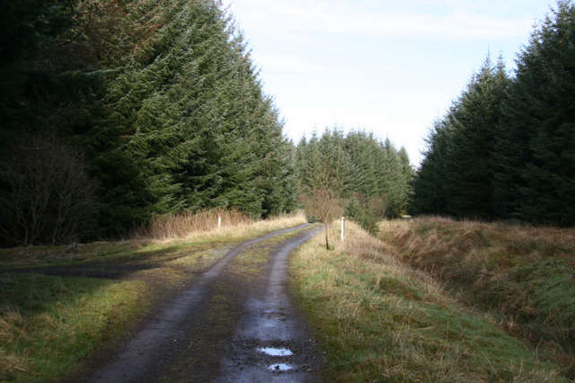
Due to its accessible location and stunning views, Tulloch Hill attracts outdoor enthusiasts seeking a tranquil escape from the bustling city life. Hiking, walking, and picnicking are popular activities on the hill, offering visitors a chance to immerse themselves in the natural beauty of the Scottish countryside.

Tulloch Hill is not only a place of natural beauty but also holds historical significance. The hill was once home to ancient settlements, and remnants of these have been discovered in the surrounding area. Archaeological enthusiasts can explore the hill and its surroundings to discover more about its past.

Overall, Tulloch Hill is a captivating destination that offers a perfect blend of natural beauty, recreational activities, and historical charm, making it a must-visit for anyone exploring Ayrshire.

If you have any feedback on the listing, please let us know in the comments section below.

Tulloch Hill Images

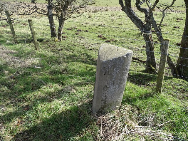
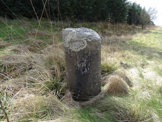
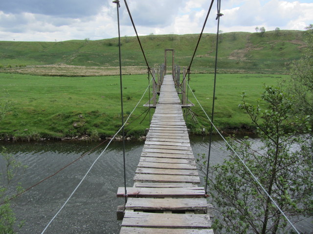
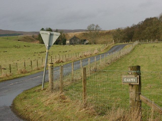
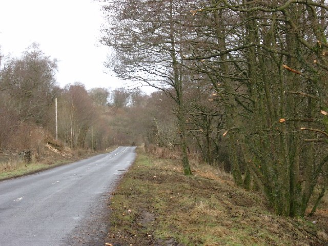
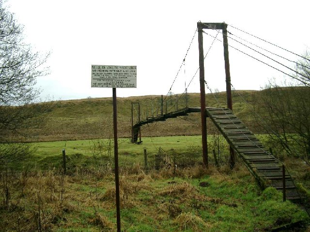
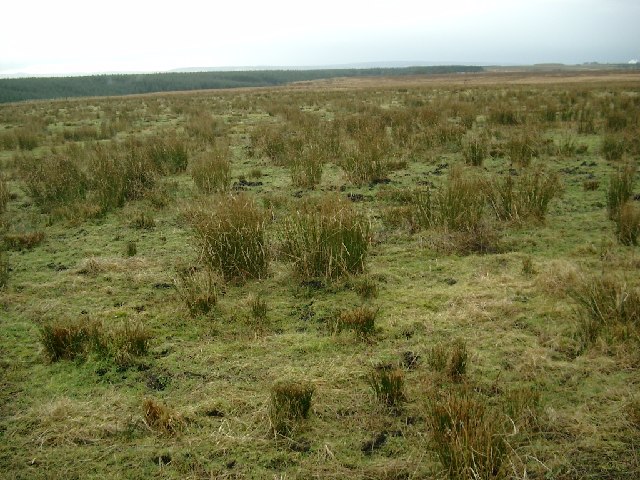
Images are sourced within 2km of 55.510507/-4.2016005 or Grid Reference NS6126. Thanks to Geograph Open Source API. All images are credited.

Benchmark on Milestone Benchmark on top of milestone beside the B743.
Muirkirk 5 and-a-half miles on one side of the milestone,
Mauchline 8 and Ayr 19 on the other side.
Photo taken on the 18th March, 2022.
Benchmark on Milestone
Benchmark on top of milestone beside the B743. Muirkirk 5 and-a-half miles on one side of the milestone, Mauchline 8 and Ayr 19 on the other side. Photo taken on the 18th March, 2022.
Old Milestone Mauchline 7  Ayr 18 on one side of the milestone,
Muirkirk 6 and-a-half on the other side.
Photo taken on the 18th March 2022.
Old Milestone
Mauchline 7 Ayr 18 on one side of the milestone, Muirkirk 6 and-a-half on the other side. Photo taken on the 18th March 2022.
Frail bridge over River Ayr at North Limmerhaugh Not part of the River Ayr Way but this frail bridge is for the use of fishermen.
Frail bridge over River Ayr at North Limmerhaugh
Not part of the River Ayr Way but this frail bridge is for the use of fishermen.
The River Ayr south of Crook Moss The River Ayr Way runs to the left of the river in the distance.
The River Ayr south of Crook Moss
The River Ayr Way runs to the left of the river in the distance.
Signpost and path for the River Ayr Way
B743 near North Limmerhaugh
B743 near Meath Hill
Dead Man's Hole The Dead Man's Hole on the Water Ayr.
Dead Man's Hole
The Dead Man's Hole on the Water Ayr.
Garpel road end
Garpel road end
Tree pruning on the B743
Fishermen's footbridge over the river Ayr
Moorland at Limmerhaugh Muir
Erosion on a burn flowing off Meath Hill
Merkland farm road end
The Whitehaugh Water
Track to Upper Heilar Access to this track is restricted by a metal barrier at the entrance. A mature coniferous plantation extends on both sides of the track leading to Upper Heilar. There is access to the R. Ayr for members of Sorn Angling Club.
Track to Upper Heilar
Access to this track is restricted by a metal barrier at the entrance. A mature coniferous plantation extends on both sides of the track leading to Upper Heilar. There is access to the R. Ayr for members of Sorn Angling Club.
Templandshaw A farm track lined on both sides by a mature coniferous plantation provides access to this quite isolated farm on Airds Moss. There is some improved grassland around the farm buildings. The surface soil has been derived from glacial till which makes it wet and heavy to work with. Not too far from the farm,there is coal present in the underlying rocks which has been recently worked by opencast methods.
Templandshaw
A farm track lined on both sides by a mature coniferous plantation provides access to this quite isolated farm on Airds Moss. There is some improved grassland around the farm buildings. The surface soil has been derived from glacial till which makes it wet and heavy to work with. Not too far from the farm,there is coal present in the underlying rocks which has been recently worked by opencast methods.
Paired River Terraces The branches of the tree point to the deeply incised valley of the R.Ayr. The flat grassy area just beyond the fence in the foreground and the similar grassy area on the opposite side of the valley are both part of the same former floodplain of the R. Ayr and are called river terraces. The glacial till which had been deposited in the valley during the glacial period, has been eroded by the outpouring of meltwater down the valley as the ice melted at the end of the glacial era. The R.Ayr to-day is a misfit stream flowing in a valley which could not have been created by the present river. Because the river terraces are virtual mirror images, they are referred to as 'paired terraces'. 
The 2 farms located on the gently sloping land in the distance, are Burntshield and Merkland.
Paired River Terraces
The branches of the tree point to the deeply incised valley of the R.Ayr. The flat grassy area just beyond the fence in the foreground and the similar grassy area on the opposite side of the valley are both part of the same former floodplain of the R. Ayr and are called river terraces. The glacial till which had been deposited in the valley during the glacial period, has been eroded by the outpouring of meltwater down the valley as the ice melted at the end of the glacial era. The R.Ayr to-day is a misfit stream flowing in a valley which could not have been created by the present river. Because the river terraces are virtual mirror images, they are referred to as 'paired terraces'. The 2 farms located on the gently sloping land in the distance, are Burntshield and Merkland.
Show me another place!

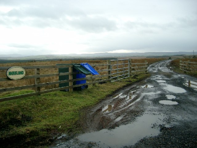
Tulloch Hill is located at Grid Ref: NS6126 (Lat: 55.510507, Lng: -4.2016005)

Unitary Authority: East Ayrshire

Police Authority: Ayrshire

What 3 Words

///passively.musician.poppy. Near Logan, East Ayrshire

Related Wikis

Garpel Linn

Garpel Linn is a waterfall of Scotland. == See also == Waterfalls of Scotland == References ==

Greenock Water

Greenock Water is a river in East Ayrshire, Scotland. It flows out of the Dippal Burn, about 2 miles south of Dungavel Hill. A tributary of the River Ayr...

Airds Moss

Airds Moss is a large area of moor in East Ayrshire, the site is a protected area because of the extensive blanket bogs. In 1680 it was the location of...

Medieval turf building in Cronberry

Excavations in Cronberry, East Ayrshire, Scotland by Headland Archaeology revealed a medieval turf building and a nearby enclosure of unknown date. The...

Have you been to Tulloch Hill?

Leave your review of Tulloch Hill below (or comments, questions and feedback).