Airlour Glen
Valley in Wigtownshire
Scotland
Airlour Glen
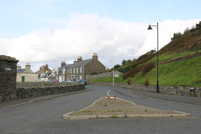
Airlour Glen is a picturesque valley located in Wigtownshire, Scotland. Nestled amidst rolling hills and surrounded by lush greenery, it is a haven for nature enthusiasts and those seeking tranquility. The glen is situated to the east of Wigtown, a small town known for its literary heritage.
The landscape of Airlour Glen is characterized by its rugged beauty, with steep slopes covered in heather and bracken. The valley is crisscrossed by a meandering stream, which adds to the serenity of the surroundings. The glen is home to a diverse range of flora and fauna, including various species of wildflowers, birds, and small mammals.
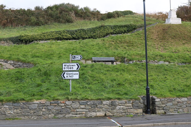
The glen offers several walking trails, allowing visitors to explore its natural wonders. These trails cater to different levels of difficulty, ensuring that everyone can enjoy the beauty of the glen at their own pace. Along the way, walkers can admire stunning views of the valley and may even spot some of the local wildlife.
Airlour Glen also holds historical significance, with remnants of ancient settlements and prehistoric sites scattered throughout the area. These archaeological sites provide a glimpse into the past and offer insights into the lives of the people who once called this valley home.
Overall, Airlour Glen is a hidden gem in Wigtownshire, offering a mix of natural beauty, tranquility, and historical intrigue. Whether you are an avid hiker, a nature lover, or a history enthusiast, this enchanting valley has something to offer to everyone who visits.
If you have any feedback on the listing, please let us know in the comments section below.
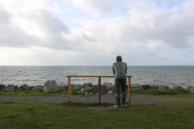
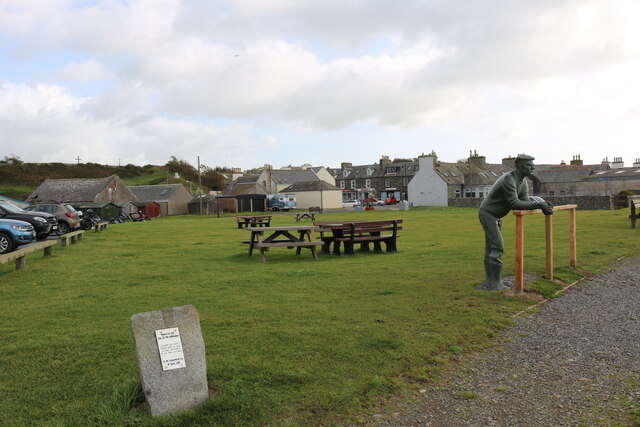
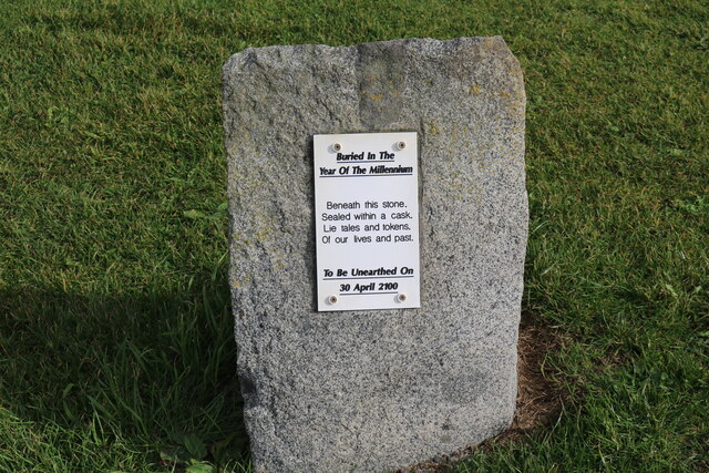
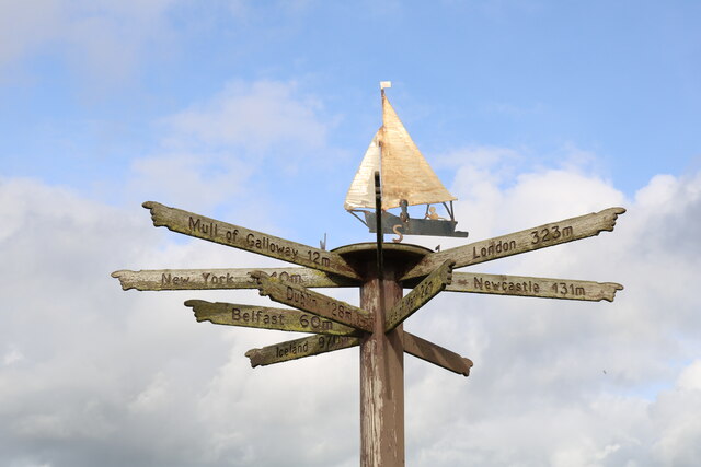
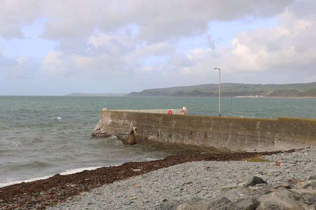
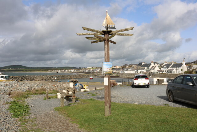
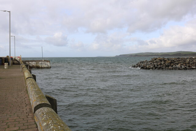
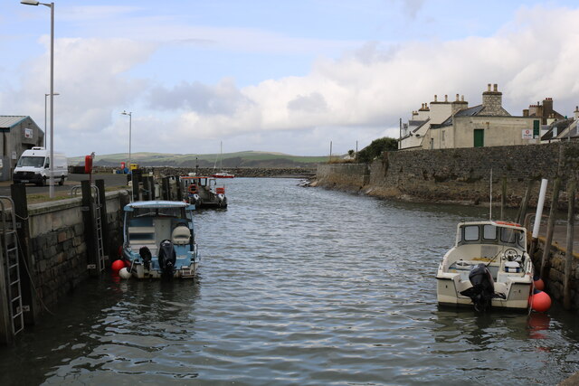
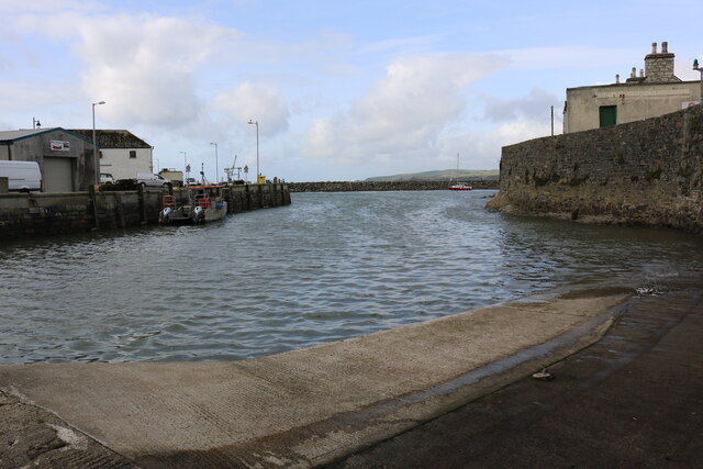
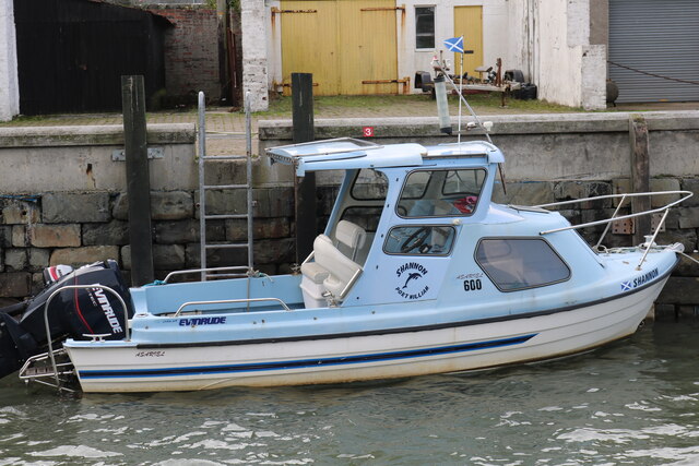
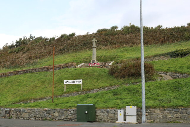
Airlour Glen Images
Images are sourced within 2km of 54.75304/-4.572288 or Grid Reference NX3442. Thanks to Geograph Open Source API. All images are credited.
Airlour Glen is located at Grid Ref: NX3442 (Lat: 54.75304, Lng: -4.572288)
Unitary Authority: Dumfries and Galloway
Police Authority: Dumfries and Galloway
What 3 Words
///certainly.scanning.plantings. Near Whithorn, Dumfries & Galloway
Nearby Locations
Related Wikis

Monreith House
Monreith House is a category A listed Georgian mansion located 1.5 kilometres (0.93 mi) east of the village of Port William in Mochrum parish in the historical...

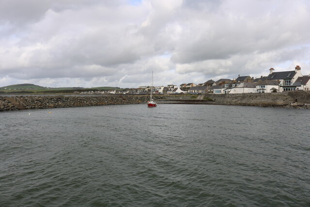
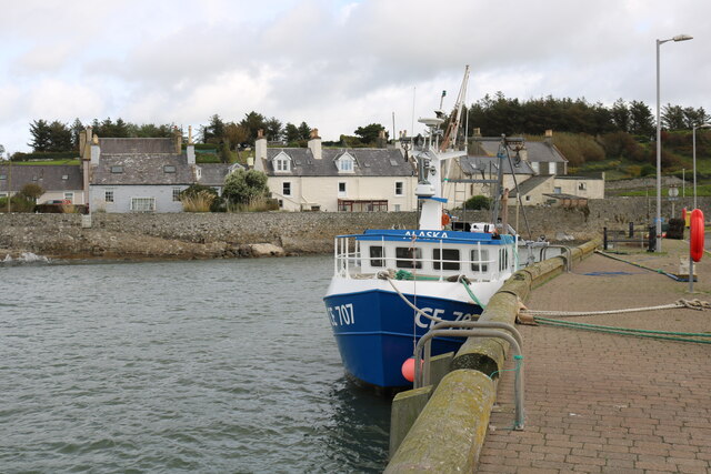
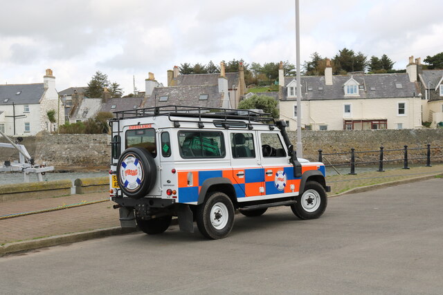
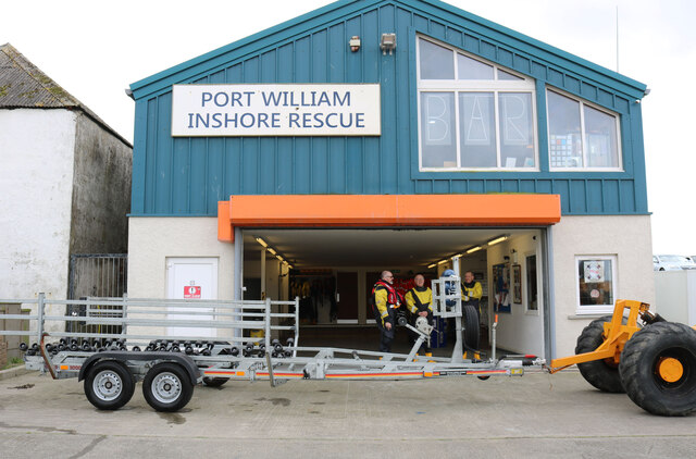
Port William, Dumfries and Galloway
Port William (Scottish Gaelic: Cill na Tràghad) is a fishing village in the parish of Mochrum in the historical county of Wigtownshire, Dumfries and Galloway...

Wren's Egg
The Wren's Egg (grid reference NX 3610 4199) is the name given to a set of late Neolithic or Bronze Age stone monuments in the parish of Glasserton, Wigtownshire...

Drumtroddan standing stones
The Drumtroddan standing stones (grid reference NX 36449 44300) are a small Neolithic or Bronze Age stone alignment in the parish of Mochrum, Wigtownshire...

Monreith
Monreith ([mɒn'ri:θ] / 'mon-REETH'; Scottish Gaelic: Am Monadh Rèidh) is a small seaside village in the Machars, in the historical county of Wigtownshire...
Mochrum
Mochrum () is a coastal civil and Church of Scotland parish situated to the east of Luce Bay on the Machars peninsula and 8 miles (13 km) southwest of...

Elrig
Elrig (Scottish Gaelic: An Eileirg, meaning "the deer run") is a clachan or hamlet in the historical county of Wigtownshire in Dumfries and Galloway...
Whauphill
Whauphill is a small village located in the historical county of Wigtownshire in the Machars, Dumfries and Galloway, Scotland.Whauphill is a hub that supports...
Nearby Amenities
Located within 500m of 54.75304,-4.572288Have you been to Airlour Glen?
Leave your review of Airlour Glen below (or comments, questions and feedback).