Long Row

Beach in Wigtownshire

Scotland

Long Row

The "Man" at Port William The man never tires of that view.
The "Man" at Port William Credit: Billy McCrorie

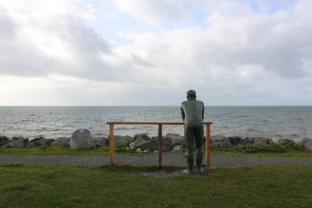
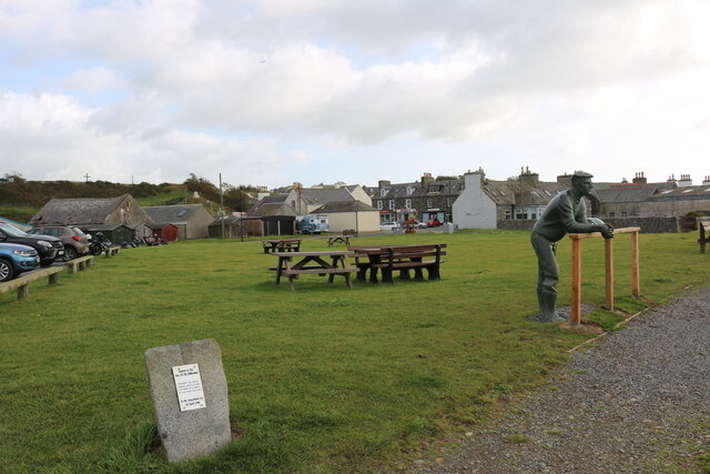
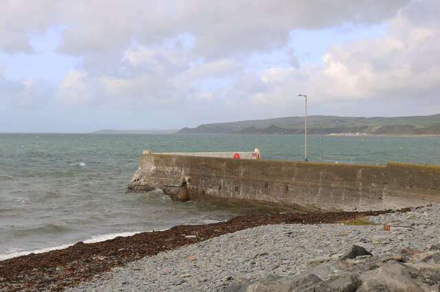
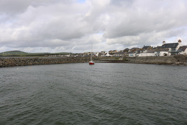
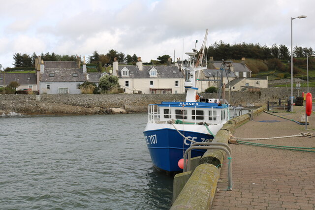
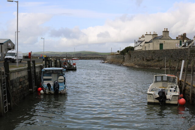
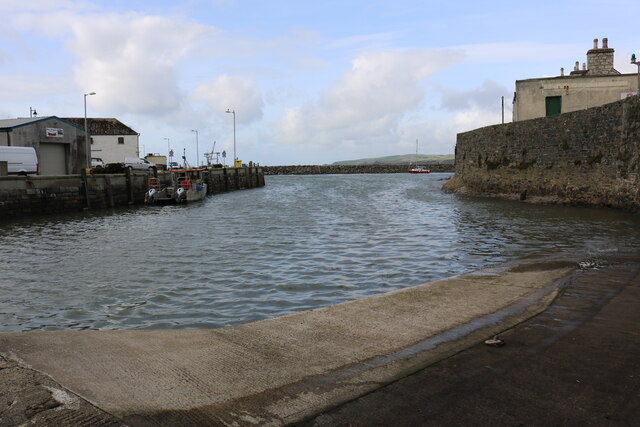
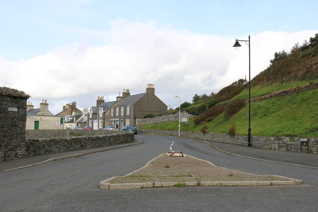
Long Row is a picturesque beach located on the western coast of Wigtownshire, Scotland. Stretching for approximately 1.5 kilometers, this sandy beach is a popular destination for both locals and tourists seeking tranquility and natural beauty. It is situated between the charming villages of Port William and Monreith, offering stunning views of the surrounding countryside and the Irish Sea.

The beach at Long Row boasts fine golden sand and is backed by gentle grassy dunes. Its relatively secluded location ensures a peaceful atmosphere, ideal for relaxing walks or sunbathing. The beach is also a haven for wildlife enthusiasts, as it is frequented by various seabirds, including gulls and oystercatchers.

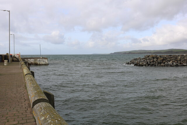
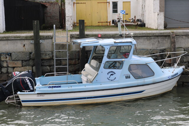
Long Row is known for its clean and clear waters, making it a great spot for swimming, paddling, and other water activities. The beach is also popular among anglers, who can often be seen casting their lines in search of mackerel or bass. At low tide, the sandy expanse expands, creating opportunities for beachcombing and exploring the rock pools that are teeming with marine life.

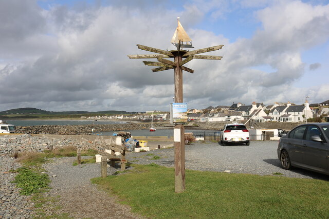
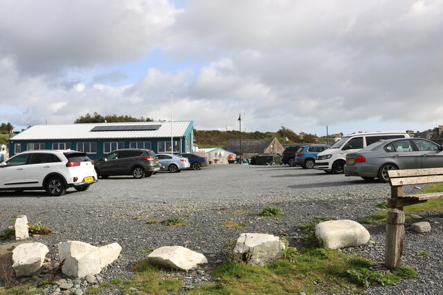
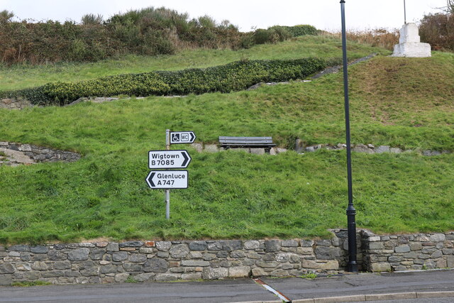
Visitors to Long Row can take advantage of the nearby amenities, including public toilets and a car park. The beach is easily accessible, with a short walk from the parking area. It is worth noting that there are no lifeguards on duty, so caution should be exercised when swimming or engaging in water sports.

In summary, Long Row in Wigtownshire offers a serene and unspoiled beach experience, with its beautiful sandy shores, stunning views, and abundant wildlife.

If you have any feedback on the listing, please let us know in the comments section below.

Long Row Images

Images are sourced within 2km of 54.750291/-4.5789363 or Grid Reference NX3442. Thanks to Geograph Open Source API. All images are credited.

The "Man" at Port William The man never tires of that view.
The "Man" at Port William
The man never tires of that view.
Picnic Area at Port William Located at the Harbour. That's the man who never tires.
Picnic Area at Port William
Located at the Harbour. That's the man who never tires.
Millennium Stone, Port William At the village park at the harbour.
Millennium Stone, Port William
At the village park at the harbour.
Distance Marker, Port William At the car park at The View (cafe).
Distance Marker, Port William
At the car park at The View (cafe).
The Pier, Port William Viewed from the picnic area.
The Pier, Port William
Viewed from the picnic area.
Distance Marker Post at the Harbour At Port William.
Distance Marker Post at the Harbour
At Port William.
Car Park at Port William Cafe/Restaurant on the left is called "The View".
Car Park at Port William
Cafe/Restaurant on the left is called "The View".
Mouth of the Harbour At Port William.
Mouth of the Harbour
At Port William.
Port William Harbour
"Alaska" Port William
Ambulance, Port William Belonging to Pirsac (Port William Inshore Rescue Service Acton Committee) an independent Lifeboat Service.
Ambulance, Port William
Belonging to Pirsac (Port William Inshore Rescue Service Acton Committee) an independent Lifeboat Service.
Port William Inshore Rescue Station About the station is the Cafe/Restaurant called "The View".
Port William Inshore Rescue Station
About the station is the Cafe/Restaurant called "The View".
Port William Harbour At high tide.
Port William Harbour
At high tide.
Port William Harbour Viewed from the Slip.
Port William Harbour
Viewed from the Slip.
"Shannon" Port William
Maxwell Park, Port William With War Memorial, viewed from Main Street.
Maxwell Park, Port William
With War Memorial, viewed from Main Street.
Main Street, Port William Viewed from the Roundabout.
Main Street, Port William
Viewed from the Roundabout.
Road Signs, Port William Viewed from the Roundabout.
Road Signs, Port William
Viewed from the Roundabout.
Show me another place!

Long Row is located at Grid Ref: NX3442 (Lat: 54.750291, Lng: -4.5789363)

Unitary Authority: Dumfries and Galloway

Police Authority: Dumfries and Galloway

What 3 Words

///condensed.limp.earliest. Near Whithorn, Dumfries & Galloway

Nearby Locations

Airlour Glen Long Row

Related Wikis

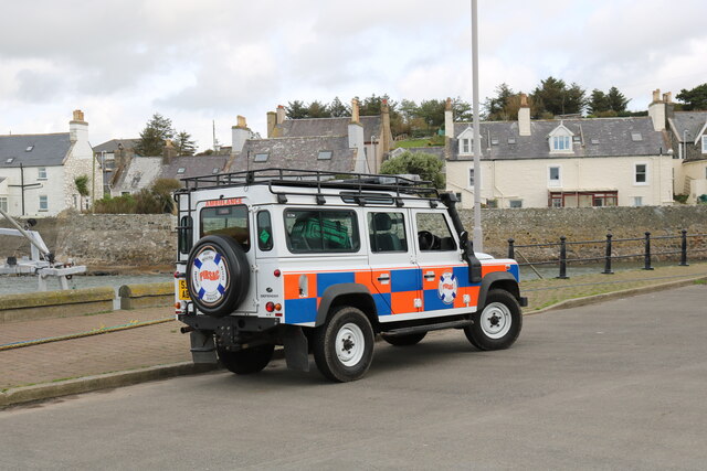
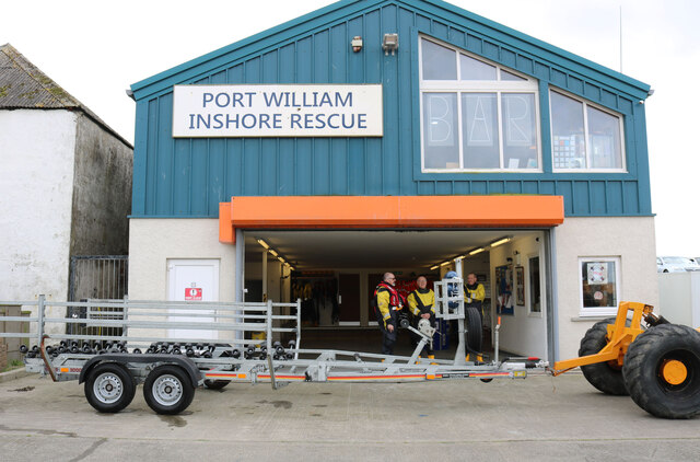
Port William, Dumfries and Galloway

Port William (Scottish Gaelic: Cill na Tràghad) is a fishing village in the parish of Mochrum in the historical county of Wigtownshire, Dumfries and Galloway...

Monreith House

Monreith House is a category A listed Georgian mansion located 1.5 kilometres (0.93 mi) east of the village of Port William in Mochrum parish in the historical...

Wren's Egg

The Wren's Egg (grid reference NX 3610 4199) is the name given to a set of late Neolithic or Bronze Age stone monuments in the parish of Glasserton, Wigtownshire...

Monreith

Monreith ([mɒn'ri:θ] / 'mon-REETH'; Scottish Gaelic: Am Monadh Rèidh) is a small seaside village in the Machars, in the historical county of Wigtownshire...

Nearby Amenities

Located within 500m of 54.750291,-4.5789363
Source: PGS
Lat/Long: 54.7543664/-4.5812115
Source: PGS
Lat/Long: 54.7539083/-4.5809755
Source: PGS
Lat/Long: 54.7535863/-4.5807395
Source: PGS
Lat/Long: 54.7532767/-4.5802245
Source: PGS
Lat/Long: 54.753103/-4.579752
Source: PGS
Lat/Long: 54.752509/-4.5790872
Source: PGS
Lat/Long: 54.7522489/-4.578701
Source: PGS
Lat/Long: 54.7520508/-4.578465
Source: PGS
Lat/Long: 54.751444/-4.5778212
Source: PGS
Lat/Long: 54.7510972/-4.5773921
Source: PGS
Lat/Long: 54.7503047/-4.5773492
Source: PGS
Lat/Long: 54.7497845/-4.5774135
Source: PGS
Lat/Long: 54.7459576/-4.577199
Power: pole
Lat/Long: 54.7537456/-4.5759146
Power: pole
Lat/Long: 54.7537614/-4.5742388
Power: pole
Lat/Long: 54.7533565/-4.5759654
Power: pole
Lat/Long: 54.7527272/-4.5758386
Power: pole
Lat/Long: 54.7520418/-4.5757054
Power: pole
Lat/Long: 54.7513649/-4.5755829
Power: pole
Lat/Long: 54.7506648/-4.5754561
Power: pole
Lat/Long: 54.7503026/-4.5749235
Power: pole
Lat/Long: 54.7495171/-4.5738034
Power: pole
Lat/Long: 54.7487474/-4.5726791
Power: pole
Lat/Long: 54.7466397/-4.574951
Power: pole
Lat/Long: 54.7466336/-4.576536
The data included in this document is from www.openstreetmap.org. The data is made available under ODbL.

Have you been to Long Row?

Leave your review of Long Row below (or comments, questions and feedback).