Barnston

Settlement in Essex Uttlesford

England

Barnston

Path, Barnston Lays Garnetts Wood, which includes the eastern woodland called Barnston Lays, is owned by Essex CC and has public access with marked paths.
Path, Barnston Lays Credit: Robin Webster

Barnston is a small village located in the county of Essex, England. Situated approximately 5 miles northwest of the town of Dunmow, it lies within the Uttlesford district. The village is sparsely populated, with a population of around 500 residents.

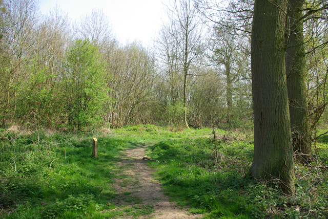
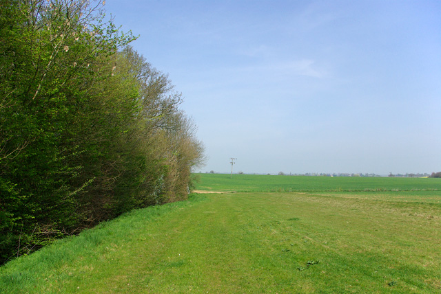
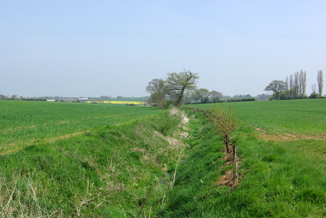
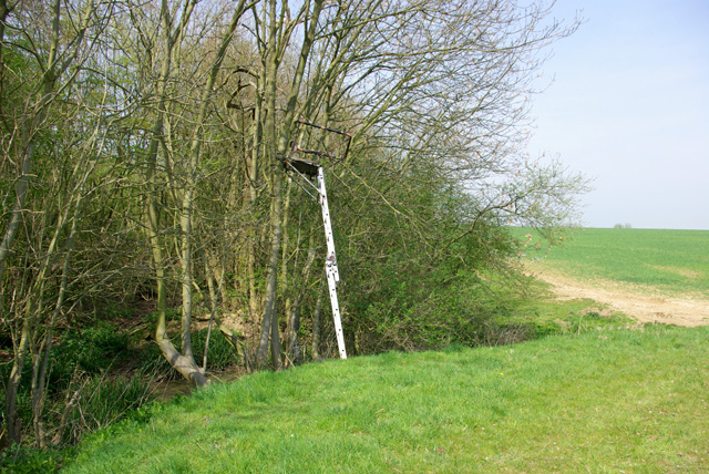
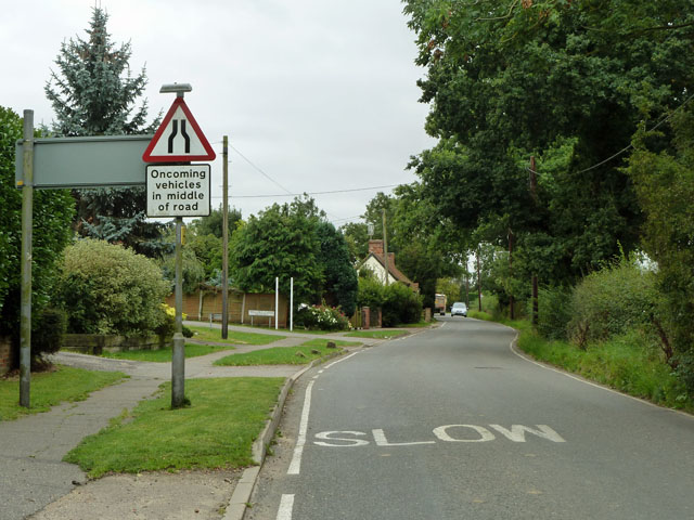
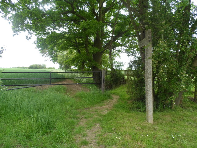
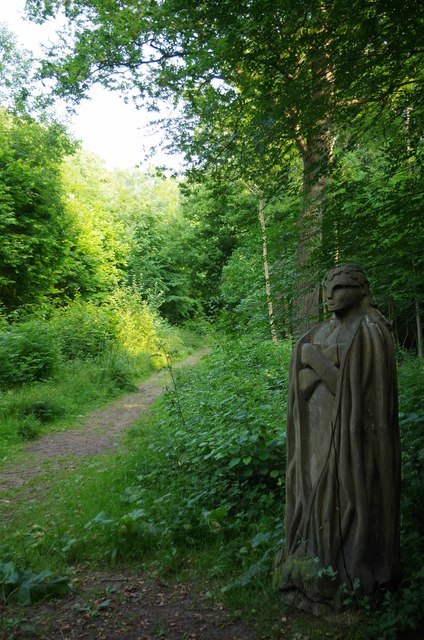
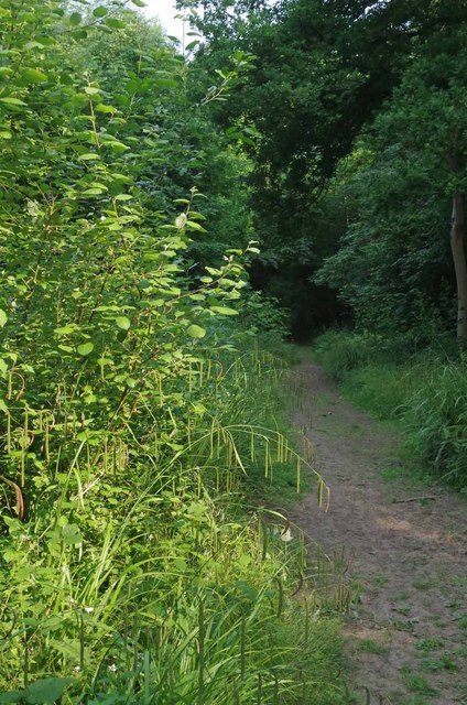
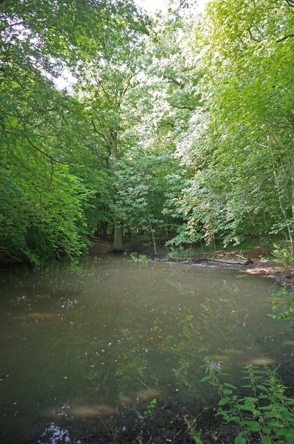
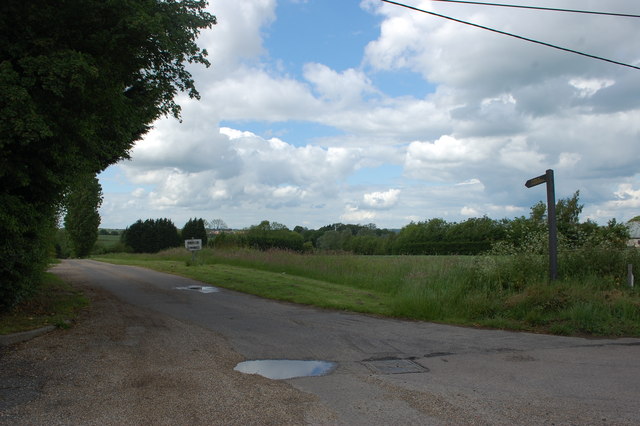
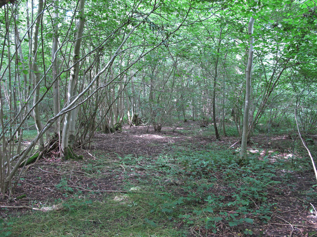
Barnston is known for its picturesque countryside and charming rural setting. The village is surrounded by agricultural land, consisting mainly of farmland and meadows. The landscape is characterized by rolling hills, expansive fields, and idyllic woodlands, offering residents and visitors a peaceful and serene environment.

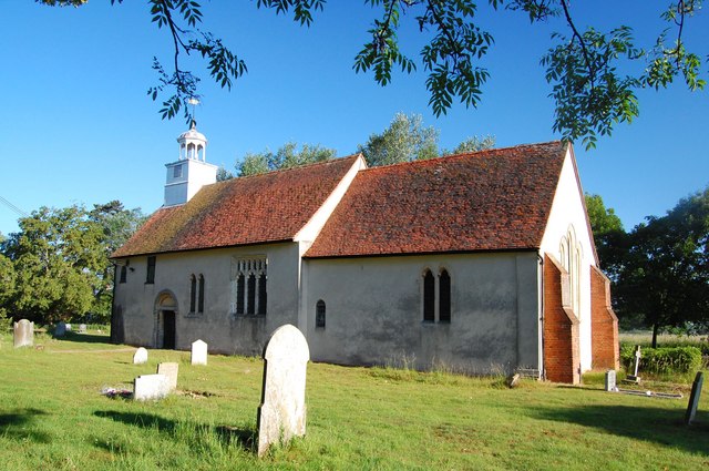
The heart of the village features a few essential amenities, including a local pub, a church, and a primary school. The pub, known as The Axe and Compass, is a historic establishment that dates back several centuries and serves as a popular gathering place for locals. The village church, St. Andrew's, is an ancient building with a rich history, displaying architectural elements from different eras.

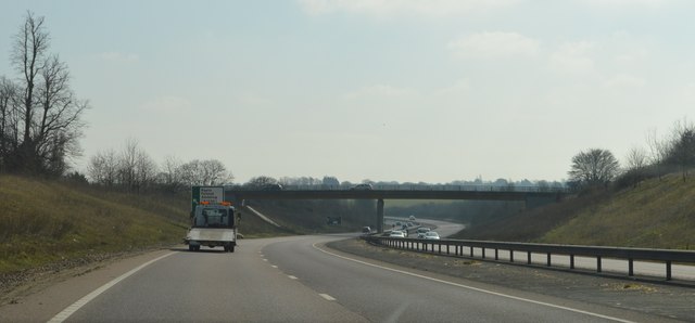
Barnston is well-connected to nearby towns and cities, with good road links to Dunmow and the A120, providing easy access to major routes. The village is also within a reasonable distance from Stansted Airport, making it a convenient location for travelers.

Overall, Barnston offers a tranquil and close-knit community, surrounded by stunning natural beauty. It provides a peaceful retreat from the hustle and bustle of urban life while maintaining proximity to essential amenities and transportation links.

If you have any feedback on the listing, please let us know in the comments section below.

Barnston Images

Images are sourced within 2km of 51.854485/0.38489395 or Grid Reference TL6420. Thanks to Geograph Open Source API. All images are credited.

Path, Barnston Lays Garnetts Wood, which includes the eastern woodland called Barnston Lays, is owned by Essex CC and has public access with marked paths.
Path, Barnston Lays
Garnetts Wood, which includes the eastern woodland called Barnston Lays, is owned by Essex CC and has public access with marked paths.
Eastern edge of Barnston Lays Garnetts Wood, which includes the eastern woodland called Barnston Lays, is owned by Essex CC and has public access with marked paths. This field margin is not one of them.
Eastern edge of Barnston Lays
Garnetts Wood, which includes the eastern woodland called Barnston Lays, is owned by Essex CC and has public access with marked paths. This field margin is not one of them.
Ditch east of Barnston Lays This drains into Barnston Brook, a tributary of the River Chelmer.
Ditch east of Barnston Lays
This drains into Barnston Brook, a tributary of the River Chelmer.
Shooting platform, Barnston Lays There were certainly a lot of Fallow Deer crashing around in the wood.
Shooting platform, Barnston Lays
There were certainly a lot of Fallow Deer crashing around in the wood.
St Andrew's, Parish Church Barnston
High Easter Road, Barnston A country road with quite a lot of modern residential development feeding into it from the left.
High Easter Road, Barnston
A country road with quite a lot of modern residential development feeding into it from the left.
Medhurst A house of no great age, appearing on maps about 1950.
Medhurst
A house of no great age, appearing on maps about 1950.
Barnston Lodge Clearly not the gatehouse sort of lodge, this Georgian country house is now used as a wedding venue.
Barnston Lodge
Clearly not the gatehouse sort of lodge, this Georgian country house is now used as a wedding venue.
Footpath to Sallets Farm
Garnetts Wood Garnetts Wood <span class="nowrap"><a title="http://www.wildessex.net/sites/Garnetts%20Wood.htm" rel="nofollow ugc noopener" href="http://www.wildessex.net/sites/Garnetts%20Wood.htm">Link</a><img style="margin-left:2px;" alt="External link" title="External link - shift click to open in new window" src="https://s1.geograph.org.uk/img/external.png" width="10" height="10"/></span> it is an SSSI owned by Essex County Council. The statue carved from tree stump is that of Geffrey Garnet. The land was granted to him by  King Henry II in 1165.
Garnetts Wood
Garnetts Wood LinkExternal link it is an SSSI owned by Essex County Council. The statue carved from tree stump is that of Geffrey Garnet. The land was granted to him by King Henry II in 1165.
Path & Pendulous Sedge The grass dangling over the path in <a href="https://www.geograph.org.uk/photo/3548313">TL6318 : Garnetts Wood</a> is Carex pendula. I know it is a Sedge as "sedges have edges and reeds are round"
Path & Pendulous Sedge
The grass dangling over the path in TL6318 : Garnetts Wood is Carex pendula. I know it is a Sedge as "sedges have edges and reeds are round"
A Garnetts Wood Pond One of a number of small woodland ponds in <a href="https://www.geograph.org.uk/photo/3548313">TL6318 : Garnetts Wood</a>
A Garnetts Wood Pond
One of a number of small woodland ponds in TL6318 : Garnetts Wood
Private road to Martels Manor The private road is also the route of a public footpath, the finger post for which can be seen here. Taken from its junction with High Easter Road.
Private road to Martels Manor
The private road is also the route of a public footpath, the finger post for which can be seen here. Taken from its junction with High Easter Road.
Statue of Geffrey Garnett, Garnetts Wood Geffrey Garnett was given this land in 1165 whilst a knight in the service of King Henry II.

The wood is an SSSI owned by Essex County Council and is in the parish of High Easter. 

See also:
Wild Essex: <span class="nowrap"><a title="http://www.wildessex.net/sites/Garnetts%20Wood.htm" rel="nofollow ugc noopener" href="http://www.wildessex.net/sites/Garnetts%20Wood.htm">Link</a><img style="margin-left:2px;" alt="External link" title="External link - shift click to open in new window" src="https://s1.geograph.org.uk/img/external.png" width="10" height="10"/></span>
Friends of the Flitch Way and Associated Woodlands: <span class="nowrap"><a title="http://www.friends-of-the-flitch-way.org.uk/index.php?page=garnetts-wood-sssi" rel="nofollow ugc noopener" href="http://www.friends-of-the-flitch-way.org.uk/index.php?page=garnetts-wood-sssi">Link</a><img style="margin-left:2px;" alt="External link" title="External link - shift click to open in new window" src="https://s1.geograph.org.uk/img/external.png" width="10" height="10"/></span>
Statue of Geffrey Garnett, Garnetts Wood
Geffrey Garnett was given this land in 1165 whilst a knight in the service of King Henry II. The wood is an SSSI owned by Essex County Council and is in the parish of High Easter. See also: Wild Essex: LinkExternal link Friends of the Flitch Way and Associated Woodlands: LinkExternal link
The interior of Garnetts Wood Geffrey Garnett was given this land in 1165 whilst a knight in the service of King Henry II.

The wood is an SSSI owned by Essex County Council and is in the parish of High Easter. 

See also:
Wild Essex: <span class="nowrap"><a title="http://www.wildessex.net/sites/Garnetts%20Wood.htm" rel="nofollow ugc noopener" href="http://www.wildessex.net/sites/Garnetts%20Wood.htm">Link</a><img style="margin-left:2px;" alt="External link" title="External link - shift click to open in new window" src="https://s1.geograph.org.uk/img/external.png" width="10" height="10"/></span>
Friends of the Flitch Way and Associated Woodlands: <span class="nowrap"><a title="http://www.friends-of-the-flitch-way.org.uk/index.php?page=garnetts-wood-sssi" rel="nofollow ugc noopener" href="http://www.friends-of-the-flitch-way.org.uk/index.php?page=garnetts-wood-sssi">Link</a><img style="margin-left:2px;" alt="External link" title="External link - shift click to open in new window" src="https://s1.geograph.org.uk/img/external.png" width="10" height="10"/></span>
The interior of Garnetts Wood
Geffrey Garnett was given this land in 1165 whilst a knight in the service of King Henry II. The wood is an SSSI owned by Essex County Council and is in the parish of High Easter. See also: Wild Essex: LinkExternal link Friends of the Flitch Way and Associated Woodlands: LinkExternal link
Ongar Road Bridge, A120 The A120 is a trunk road that runs east-west across East Anglia from Harwich to Puckeridge, 63 miles in length. It follows the route of the Roman Road, Stane Street. <span class="nowrap"><a title="http://www.sabre-roads.org.uk/wiki/index.php?title=A120" rel="nofollow ugc noopener" href="http://www.sabre-roads.org.uk/wiki/index.php?title=A120">Link</a><img style="margin-left:2px;" alt="External link" title="External link - shift click to open in new window" src="https://s1.geograph.org.uk/img/external.png" width="10" height="10"/></span>
Ongar Road Bridge, A120
The A120 is a trunk road that runs east-west across East Anglia from Harwich to Puckeridge, 63 miles in length. It follows the route of the Roman Road, Stane Street. LinkExternal link
A120, Great Dunmow Bypass The A120 is a trunk road that runs east-west across East Anglia from Harwich to Puckeridge, 63 miles in length. It follows the route of the Roman Road, Stane Street. <span class="nowrap"><a title="http://www.sabre-roads.org.uk/wiki/index.php?title=A120" rel="nofollow ugc noopener" href="http://www.sabre-roads.org.uk/wiki/index.php?title=A120">Link</a><img style="margin-left:2px;" alt="External link" title="External link - shift click to open in new window" src="https://s1.geograph.org.uk/img/external.png" width="10" height="10"/></span>
A120, Great Dunmow Bypass
The A120 is a trunk road that runs east-west across East Anglia from Harwich to Puckeridge, 63 miles in length. It follows the route of the Roman Road, Stane Street. LinkExternal link
Footbridge, A120 The A120 is a trunk road that runs east-west across East Anglia from Harwich to Puckeridge, 63 miles in length. It follows the route of the Roman Road, Stane Street. <span class="nowrap"><a title="http://www.sabre-roads.org.uk/wiki/index.php?title=A120" rel="nofollow ugc noopener" href="http://www.sabre-roads.org.uk/wiki/index.php?title=A120">Link</a><img style="margin-left:2px;" alt="External link" title="External link - shift click to open in new window" src="https://s1.geograph.org.uk/img/external.png" width="10" height="10"/></span>
Footbridge, A120
The A120 is a trunk road that runs east-west across East Anglia from Harwich to Puckeridge, 63 miles in length. It follows the route of the Roman Road, Stane Street. LinkExternal link
Show me another place!

Barnston is located at Grid Ref: TL6420 (Lat: 51.854485, Lng: 0.38489395)

Administrative County: Essex

District: Uttlesford

Police Authority: Essex

What 3 Words

///alas.guideline.dash. Near Little Dunmow, Essex

Related Wikis

Nearby Amenities

Located within 500m of 51.854485,0.38489395
Mini Roundabout
Direction: clockwise
Lat/Long: 51.854476/0.3848959
Bus Stop
High Easter Road
Bus: yes
Naptan AtcoCode: 150002005011
Naptan Bearing: NW
Naptan CommonName: High Easter Road
Naptan Crossing: High Easter Road
Naptan Indicator: Adj
Naptan Landmark: High Easter Road
Naptan NaptanCode: esxatwjt
Naptan Street: Chelmsford Road
Naptan Verified: no
Public Transport: platform
Source: naptan_import
Lat/Long: 51.8552851/0.3838674
High Easter Road
Naptan AtcoCode: 1500020050Y1
Naptan Bearing: SE
Naptan BusStopType: CUS
Naptan CommonName: High Easter Road
Naptan Crossing: High Easter Road
Naptan Indicator: Opp
Naptan Landmark: High Easter Road
Naptan NaptanCode: esxgpmgj
Naptan Street: Chelmsford Road
Naptan Verified: no
Public Transport: platform
Source: naptan_import
Lat/Long: 51.8553372/0.3839573
Bus Stop
Church School
Bus: yes
Naptan AtcoCode: 1500IM1620
Naptan Bearing: NW
Naptan BusStopType: CUS
Naptan CommonName: Church School
Naptan Indicator: o/s
Naptan Landmark: Church School
Naptan NaptanCode: esxatwjp
Naptan Street: Chelmsford Road
Public Transport: platform
Shelter: yes
Source: naptan_import;survey
Lat/Long: 51.8530811/0.3867
Bus Stop
Church School
Bus: yes
Naptan AtcoCode: 1500IM1620B
Naptan Bearing: NE
Naptan CommonName: Church School
Naptan Indicator: Opp
Naptan Landmark: Church School
Naptan NaptanCode: esxadwjd
Naptan Street: The Chase
Public Transport: platform
Shelter: yes
Source: naptan_import;survey
Lat/Long: 51.8527974/0.3874
Barnston
Place: village
Lat/Long: 51.8531694/0.3852086
Post Box
Collection Times: Mo-Fr 17:15; Sa 11:30
Post Box Mounting: brick_pillar
Post Box Type: wall
Ref: CM6 106
Royal Cypher: EIIR
Royal Cypher Wikidata: Q33102113
Lat/Long: 51.8531335/0.386603
Telephone
Booth: KX100
Covered: booth
Lat/Long: 51.8533523/0.3861817
Fixme: incomplete
Lat/Long: 51.8549327/0.3876007
Restaurant
Chapslee
Fixme: check if still open. The Restaurant is now closed but may still have rooms.
Lat/Long: 51.855302/0.3845682
Waste Basket
Lat/Long: 51.8531061/0.3866516
Defibrillator
Defibrillator Location: On exterior wall of Barnston Village Hall, just to the left of the main entrance, facing the carpark.
Emergency: defibrillator
Lat/Long: 51.8533091/0.3855308
Entrance: main
Lat/Long: 51.8533205/0.3854984
Barrier: bollard
Lat/Long: 51.853671/0.3893891
Give Way
Direction: forward
Lat/Long: 51.8545497/0.3848575
Give Way
Direction: backward
Lat/Long: 51.8544176/0.3849829
Give Way
Direction: forward
Lat/Long: 51.8544529/0.3848104
Give Way
Direction: backward
Lat/Long: 51.8521901/0.3827848
The data included in this document is from www.openstreetmap.org. The data is made available under ODbL.

Have you been to Barnston?

Leave your review of Barnston below (or comments, questions and feedback).