Barnstone

Settlement in Nottinghamshire Rushcliffe

England

Barnstone

Plungar Road entering Granby
Plungar Road entering Granby Credit: Tim Heaton

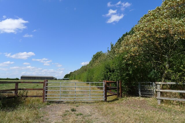
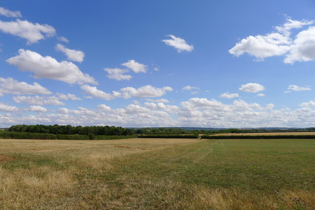
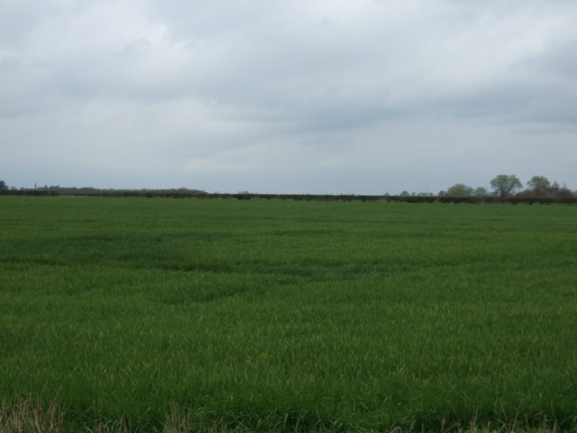
Barnstone is a small village located in the county of Nottinghamshire, England. Situated approximately 8 miles southeast of the city of Nottingham, it is part of the Rushcliffe borough. The village is nestled in a rural setting, surrounded by scenic countryside and farmland.

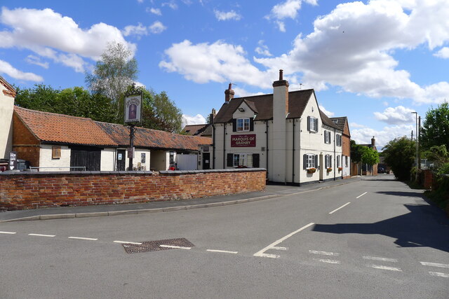
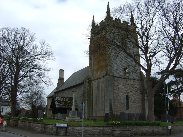
With a population of around 300 residents, Barnstone exudes a peaceful and close-knit community atmosphere. The village is characterized by its charming traditional English architecture, with many houses dating back to the 18th and 19th centuries. The village center features a picturesque church, St. Mary and All Saints, which stands as a prominent landmark.

Barnstone benefits from its proximity to larger towns and cities, providing residents with easy access to amenities and services. The nearby city of Nottingham offers a wide range of shopping, dining, and entertainment options, as well as excellent transportation links, including a major railway station and an international airport.

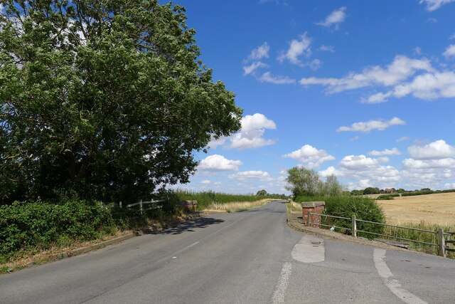
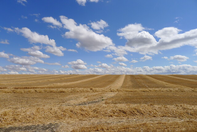
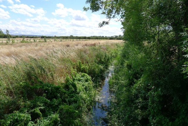
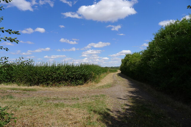
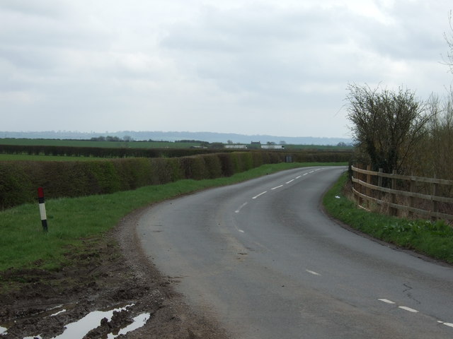
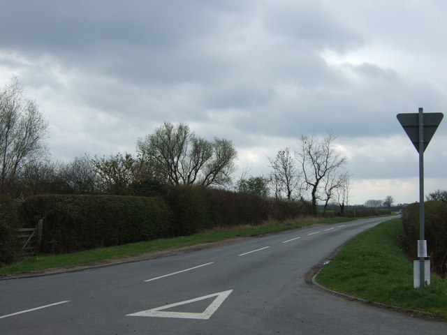
Surrounded by natural beauty, Barnstone is an ideal location for outdoor enthusiasts. The village is situated near the Grantham Canal, providing opportunities for leisurely walks or cycling along its scenic towpaths. Additionally, the nearby Vale of Belvoir offers stunning landscapes and historic attractions, including Belvoir Castle.

Overall, Barnstone offers a tranquil and idyllic countryside lifestyle, while still being within reach of larger urban centers. Its rich history, charming architecture, and proximity to natural beauty make it an appealing place to live or visit for those seeking a peaceful English village experience.

If you have any feedback on the listing, please let us know in the comments section below.
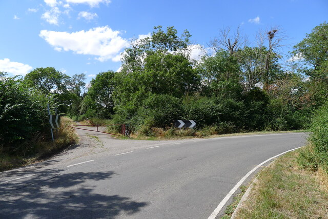
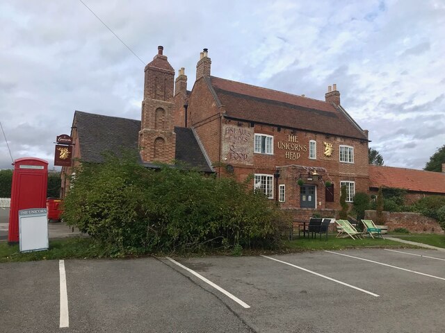
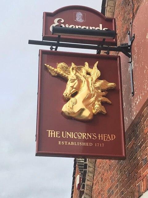
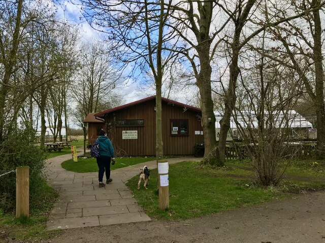
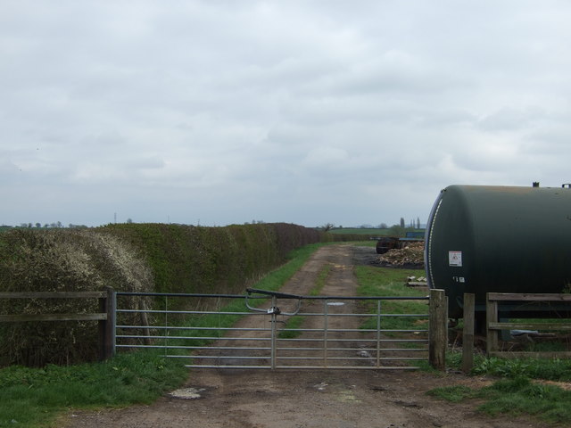
Barnstone Images

Images are sourced within 2km of 52.910988/-0.908482 or Grid Reference SK7335. Thanks to Geograph Open Source API. All images are credited.

Plungar Road entering Granby
Church of All Saints, Granby Listed Grade I <span class="nowrap"><a title="https://www.granbycumsutton.org/all-saints-church.html" rel="nofollow ugc noopener" href="https://www.granbycumsutton.org/all-saints-church.html">Link</a><img style="margin-left:2px;" alt="External link" title="External link - shift click to open in new window" src="https://s1.geograph.org.uk/img/external.png" width="10" height="10"/></span>
Church of All Saints, Granby
Listed Grade I LinkExternal link
The Marquis of Granby, Granby A very common name for pubs, honouring Lieutenant-General John Manners, Marquess of Granby (1721-1770), a popular commander of troops in the Seven Years War. "He is probably best known today for being popularly supposed to have more pubs named after him than any other person - due, it is said, to his practice of setting up old soldiers of his regiment as publicans when they were too old to serve any longer." <span class="nowrap"><a title="https://en.wikipedia.org/wiki/John_Manners,_Marquess_of_Granby" rel="nofollow ugc noopener" href="https://en.wikipedia.org/wiki/John_Manners,_Marquess_of_Granby">Link</a><img style="margin-left:2px;" alt="External link" title="External link - shift click to open in new window" src="https://s1.geograph.org.uk/img/external.png" width="10" height="10"/></span>
Especially apt here, as the Marquis of Granby is a subsidiary title of the 
dukes of Rutland - the Manners family of nearby Belvoir Castle.
The Marquis of Granby, Granby
A very common name for pubs, honouring Lieutenant-General John Manners, Marquess of Granby (1721-1770), a popular commander of troops in the Seven Years War. "He is probably best known today for being popularly supposed to have more pubs named after him than any other person - due, it is said, to his practice of setting up old soldiers of his regiment as publicans when they were too old to serve any longer." LinkExternal link Especially apt here, as the Marquis of Granby is a subsidiary title of the dukes of Rutland - the Manners family of nearby Belvoir Castle.
Barnstone Lane crossing the River Whipling
Footpath across a field wheat stubble
Bridleway off Granby Lane Leading to Northfield Farm and Bingham Road
Bridleway off Granby Lane
Leading to Northfield Farm and Bingham Road
The River Whipling A tributary of the River Smite
The River Whipling
A tributary of the River Smite
Footpath-Bridleway junction The bridleway, ahead, leads to Granby Lane. The footpath, left, to a network of paths towards Bingham
Footpath-Bridleway junction
The bridleway, ahead, leads to Granby Lane. The footpath, left, to a network of paths towards Bingham
Footpath between Granby and Bingham The path takes the gate to the right, and follows the parish boundary along the inside edge of the wood
Footpath between Granby and Bingham
The path takes the gate to the right, and follows the parish boundary along the inside edge of the wood
On a footpath between Bingham and Granby, Vale of Belvoir Looking south towards the Belvoir Escarpment on the horizon
On a footpath between Bingham and Granby, Vale of Belvoir
Looking south towards the Belvoir Escarpment on the horizon
The Unicorn's Head A few photos already on the site, but no close-ups of the sign, so: <a href="https://www.geograph.org.uk/photo/7302443">SK7234 : The sign of The Unicorn's Head</a>.

Building is Grade II listed way back in 1952! List Entry Number: 1235976 <span class="nowrap"><a title="https://historicengland.org.uk/listing/the-list/list-entry/1235976?section=official-list-entry" rel="nofollow ugc noopener" href="https://historicengland.org.uk/listing/the-list/list-entry/1235976?section=official-list-entry">Link</a><img style="margin-left:2px;" alt="External link" title="External link - shift click to open in new window" src="https://s1.geograph.org.uk/img/external.png" width="10" height="10"/></span>
The Unicorn's Head
A few photos already on the site, but no close-ups of the sign, so: SK7234 : The sign of The Unicorn's Head. Building is Grade II listed way back in 1952! List Entry Number: 1235976 LinkExternal link
The sign of The Unicorn's Head See: <a href="https://www.geograph.org.uk/photo/7302441">SK7234 : The Unicorn's Head</a>
The sign of The Unicorn's Head
Entrance to Naturescape A wildflower farm. <span class="nowrap"><a title="https://www.naturescape.co.uk" rel="nofollow ugc noopener" href="https://www.naturescape.co.uk">Link</a><img style="margin-left:2px;" alt="External link" title="External link - shift click to open in new window" src="https://s1.geograph.org.uk/img/external.png" width="10" height="10"/></span>
Entrance to Naturescape
A wildflower farm. LinkExternal link
Farm track off Granby Lane
Granby Lane heading south
Farmland near Granby
Barnstone Lane heading south
All Saints Church, Granby
Show me another place!

Barnstone is located at Grid Ref: SK7335 (Lat: 52.910988, Lng: -0.908482)

Administrative County: Nottinghamshire

District: Rushcliffe

Police Authority: Nottinghamshire

What 3 Words

///hurricane.buckling.interests. Near Aslockton, Nottinghamshire

Nearby Locations

Barnstone

Related Wikis

Barnstone

Barnstone is an English village in the Rushcliffe borough of Nottinghamshire, forming part of Langar cum Barnstone parish. It lies on the border with Leicestershire...

St Mary's Church, Barnstone

St Mary's Church, Barnstone is a parish church in the Diocese of Southwell and Nottingham of the Church of England, situated in Barnstone, Nottinghamshire...

Barnstone railway station

Barnstone railway station was a railway station serving the villages of Barnstone, Granby and Langar, Nottinghamshire, on the Great Northern and London...

Langar cum Barnstone

Langar cum Barnstone is a civil parish in the Rushcliffe borough, within the county of Nottinghamshire, England. The overall area had a population of 962...

Nearby Amenities

Located within 500m of 52.910988,-0.908482
Barnstone
Place: village
Wikidata: Q4861981
Wikipedia: en:Barnstone
Lat/Long: 52.9113048/-0.9097778
Fixme: Uncertain where Barnstone Road becomes Main Road
Lat/Long: 52.9103214/-0.915392
Defibrillator
Booth: K6
Colour: red
Defibrillator Location: inside red phone box, by junction of Main Road and Works Lane in Barnstone
Disused Amenity: telephone
Emergency: defibrillator
Man Made: telephone_box
Lat/Long: 52.9112237/-0.9101514
Barrier: stile
Lat/Long: 52.9115119/-0.9133999
Barrier: stile
Lat/Long: 52.9114653/-0.9133398
Barrier: stile
Lat/Long: 52.9108971/-0.9128457
Barrier: stile
Lat/Long: 52.912868/-0.9149191
Barrier: stile
Lat/Long: 52.9129145/-0.914962
Bus Stop
Works Lane
Bus: yes
Local Ref: RU0064
Naptan AtcoCode: 3300RU0064
Naptan Bearing: SW
Naptan CommonName: Works Lane
Naptan Crossing: Works Lane
Naptan Indicator: adj
Naptan NaptanCode: ntsajpjt
Naptan Notes: 3300RU0787--BW
Naptan Street: Main Road
Naptan Verified: yes
Note: Also route 24 (Centrebus)
Public Transport: platform
Shelter: yes
Source: naptan_import
Lat/Long: 52.9113433/-0.9099366
Works Lane
Naptan AtcoCode: 3300RU0787
Naptan Bearing: NE
Naptan BusStopType: CUS
Naptan CommonName: Works Lane
Naptan Crossing: works lane
Naptan Indicator: opp
Naptan NaptanCode: ntsgpdpj
Naptan Notes: 3300RU0064--CUS
Naptan Street: Main Road
Naptan Verified: no
Source: naptan_import
Lat/Long: 52.9115111/-0.9098463
Entrance: main
Lat/Long: 52.9129936/-0.9066533
Langar cum Barnstone Parish Council
Advertising: board
Lat/Long: 52.9113368/-0.9103451
Bus Stop
Main Road
Both Ways: yes
Bus: yes
Local Ref: RU0905
Naptan AtcoCode: 3300RU0905
Naptan NaptanCode: ntsgwapt
Public Transport: platform
Shelter: no
Lat/Long: 52.9103493/-0.9141116
Advertising: board
Lat/Long: 52.9110267/-0.9114529
Entrance: main
Step Count: 2
Lat/Long: 52.9110418/-0.9113812
Post Box
Collection Times: Mo-Fr 17:00; Sa 09:00
Post Box Manufacturer: W.T. Allen & Co. London
Post Box Type: wall
Ref: NG13 90
Royal Cypher: EVIIR
Royal Cypher Wikidata: Q33102324
Source: survey
Lat/Long: 52.9115471/-0.9097155
Bench
Lat/Long: 52.9128185/-0.9071191
Generator Method: photovoltaic
Generator Output Electricity: yes
Generator Source: solar
Generator Type: solar_photovoltaic_panel
Location: roof
Power: generator
Lat/Long: 52.9107453/-0.9114414
Generator Method: photovoltaic
Generator Output Electricity: yes
Generator Source: solar
Generator Type: solar_photovoltaic_panel
Location: roof
Power: generator
Lat/Long: 52.9099971/-0.9108567
The data included in this document is from www.openstreetmap.org. The data is made available under ODbL.

Have you been to Barnstone?

Leave your review of Barnstone below (or comments, questions and feedback).