Barnston

Settlement in Cheshire

England

Barnston

Heswall Bus Station – 1971 Built by Crosville Motor Services who were the main bus operator in Wirral outside Birkenhead and Wallasey. However as part of an agreement in the inter-war period between Birkenhead Corporation and Crosville, the former was able to operate buses well outside the borough boundaries. Nearer the camera is Merseyside PTE 188, a Leyland Atlantean with Northern Counties bodywork ordered by Birkenhead Corporation, but delivered in 1971 to the PTE which had taken over all the local municipal operators in 1970.

This is one of a series of views featuring buses in the 60s, 70s, and 80s. <a title="https://www.geograph.org.uk/search.php?i=137652761" href="https://www.geograph.org.uk/search.php?i=137652761">Link</a>
Heswall Bus Station – 1971 Credit: Alan Murray-Rust

Barnston is a small village located in the county of Cheshire, England. Situated approximately 4 miles east of the town of Heswall, it is nestled amidst the picturesque countryside of the Wirral Peninsula. With a population of around 400 residents, Barnston boasts a tranquil and idyllic setting.

The village is characterized by its charming rural atmosphere and traditional architecture. Many of the buildings in Barnston date back to the 17th and 18th centuries, giving the village a sense of historical significance. The local church, St. Michael and All Angels, is a notable landmark with its striking spire and beautiful stained glass windows.

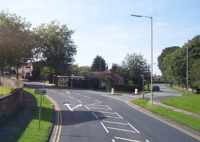
Despite its small size, Barnston offers a range of amenities to its residents. These include a primary school, a community center, and a village hall, which hosts various events and activities throughout the year. The village also has a pub, The Fox and Hounds, where locals and visitors can enjoy a drink or a meal.

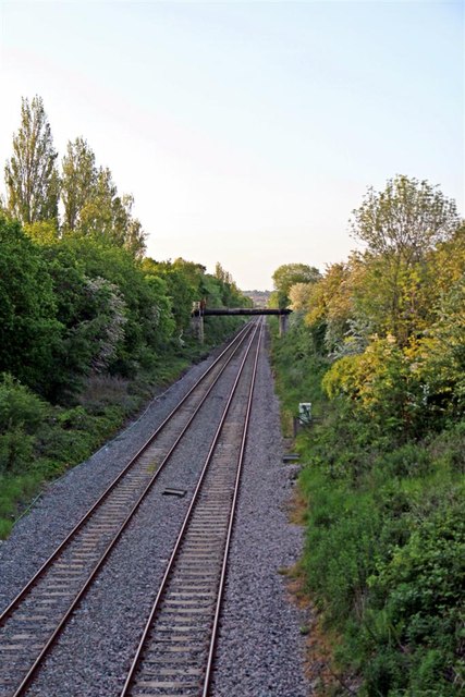
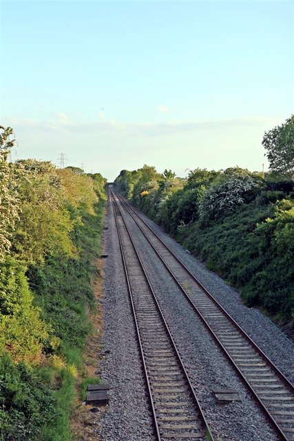
Nature lovers will find plenty to explore in and around Barnston. The village is surrounded by lush green fields and rolling hills, providing ample opportunities for countryside walks and outdoor pursuits. The nearby Wirral Country Park offers stunning views of the Dee Estuary and is a popular destination for hikers and nature enthusiasts.

Overall, Barnston is a charming and peaceful village, perfect for those seeking a slower pace of life and a close-knit community. Its natural beauty and historic charm make it a hidden gem in the heart of Cheshire.

If you have any feedback on the listing, please let us know in the comments section below.
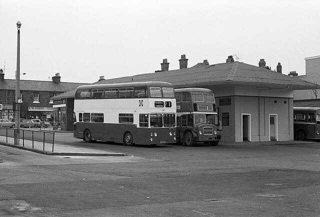
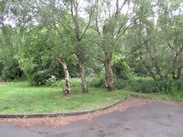
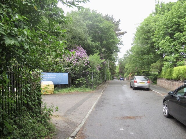
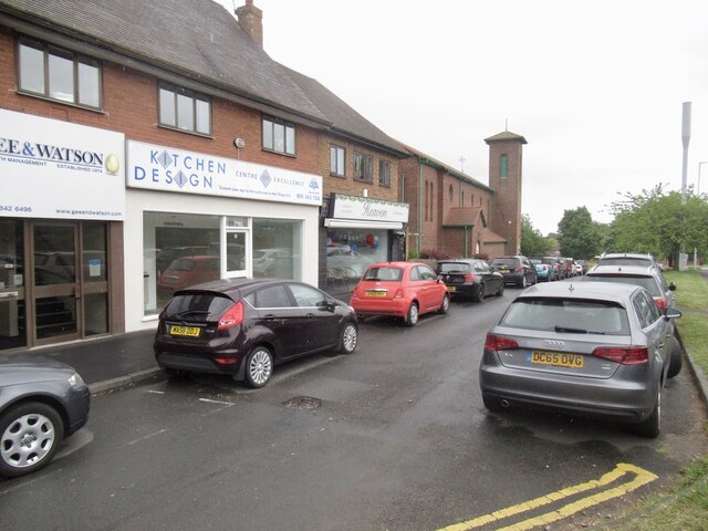
Barnston Images

Images are sourced within 2km of 53.341696/-3.07989 or Grid Reference SJ2883. Thanks to Geograph Open Source API. All images are credited.

Heswall Bus Station – 1971 Built by Crosville Motor Services who were the main bus operator in Wirral outside Birkenhead and Wallasey. However as part of an agreement in the inter-war period between Birkenhead Corporation and Crosville, the former was able to operate buses well outside the borough boundaries. Nearer the camera is Merseyside PTE 188, a Leyland Atlantean with Northern Counties bodywork ordered by Birkenhead Corporation, but delivered in 1971 to the PTE which had taken over all the local municipal operators in 1970.

This is one of a series of views featuring buses in the 60s, 70s, and 80s. <a title="https://www.geograph.org.uk/search.php?i=137652761" href="https://www.geograph.org.uk/search.php?i=137652761">Link</a>
Heswall Bus Station – 1971
Built by Crosville Motor Services who were the main bus operator in Wirral outside Birkenhead and Wallasey. However as part of an agreement in the inter-war period between Birkenhead Corporation and Crosville, the former was able to operate buses well outside the borough boundaries. Nearer the camera is Merseyside PTE 188, a Leyland Atlantean with Northern Counties bodywork ordered by Birkenhead Corporation, but delivered in 1971 to the PTE which had taken over all the local municipal operators in 1970. This is one of a series of views featuring buses in the 60s, 70s, and 80s. Link
Poll Hill summit Highest point on the Wirral. A patch of woodland deep in suburbia.
Poll Hill summit
Highest point on the Wirral. A patch of woodland deep in suburbia.
Tower Road North Wirral's highest bit of tarmac.
Tower Road North
Wirral's highest bit of tarmac.
Shops, Telegraph Road
A dreary helipad, Murrayfield Hospital It is unlikely that many helicopters land here - the hospital is private and doesn't deal with emergencies. It may be required for the consultants though - the hospital owners, Spire, list almost a hundred as being available at Murrayfield, and the majority of them spread their workloads between three our four Spire premises.
Licences are not required for helipads that do not anticipate being used for more than 28 days a year. On the other hand, however, there is a four year old document by the Civil Aviation Authority which stretches to 135 pages, detailing the dos and don'ts for hospital helipads. Whilst it must obviously only apply to the  28 day plus variety, it still seems excessive; I often think life would be simpler if our document authors had had to study the Highway Code as part of their training.
This pad seems quite straightforward: a cross to show you're at the hospital; four normal lamps to light up the landing area; and an upward-pointing red/green light at each corner of the square. The green obviously indicates it's good to land and the red that it's not. I would hope that the helicopters themselves also have lights on their tops, just in case the helipad is playing up and another one tries to land on them.
A dreary helipad, Murrayfield Hospital
It is unlikely that many helicopters land here - the hospital is private and doesn't deal with emergencies. It may be required for the consultants though - the hospital owners, Spire, list almost a hundred as being available at Murrayfield, and the majority of them spread their workloads between three our four Spire premises. Licences are not required for helipads that do not anticipate being used for more than 28 days a year. On the other hand, however, there is a four year old document by the Civil Aviation Authority which stretches to 135 pages, detailing the dos and don'ts for hospital helipads. Whilst it must obviously only apply to the 28 day plus variety, it still seems excessive; I often think life would be simpler if our document authors had had to study the Highway Code as part of their training. This pad seems quite straightforward: a cross to show you're at the hospital; four normal lamps to light up the landing area; and an upward-pointing red/green light at each corner of the square. The green obviously indicates it's good to land and the red that it's not. I would hope that the helicopters themselves also have lights on their tops, just in case the helipad is playing up and another one tries to land on them.
Pensby Road, Heswall
Train leaving Heswall station for Wrexham
The derelict ticket office of Heswall Hills railway station on Brimstage Road The office was used for the former named Heswall Hills station
The derelict ticket office of Heswall Hills railway station on Brimstage Road
The office was used for the former named Heswall Hills station
Beacon Court retirement flats
The Borderlands Line, Barnston The site of the former Storeton railway station. Facing towards Upton.
The Borderlands Line, Barnston
The site of the former Storeton railway station. Facing towards Upton.
The Borderlands Line, Barnston Facing towards Heswall.
The Borderlands Line, Barnston
Facing towards Heswall.
Thingwall Road East off Pensby Road leads to Irby
Pensby Road Heswall
Pensby Road Heswall
Sainsbury's on Pensby Road Heswall
Heswall bus station
Heswall bus station
The Olive Grove restaurant on Telegraph Road Heswall
Poll Hill Drove to end of Tower Road South by the communication tower, pleasant area, then walked about a bit.  This is the view SE from Tower Road South to Pole Hill Road.
Wirral current county/UA top.
Name: Poll Hill
Hill number: 5560
Height: 108m / 354ft
Area: 36: Lancashire, Cheshire & the Southern Pennines
Class: sHu,CoU
Grid ref: SJ 26749 82374
Summit feature: open ground by railing of communications compound
Drop: 97m
Col: 11m  SJ415713
Poll Hill
Drove to end of Tower Road South by the communication tower, pleasant area, then walked about a bit. This is the view SE from Tower Road South to Pole Hill Road. Wirral current county/UA top. Name: Poll Hill Hill number: 5560 Height: 108m / 354ft Area: 36: Lancashire, Cheshire & the Southern Pennines Class: sHu,CoU Grid ref: SJ 26749 82374 Summit feature: open ground by railing of communications compound Drop: 97m Col: 11m SJ415713
Heswall railway station, Wirral Opened in 1898 by the Manchester Sheffield & Lincolnshire Railway on the line from Bidston to Wrexham. View north towards Storeton and Bidston.
Heswall railway station, Wirral
Opened in 1898 by the Manchester Sheffield & Lincolnshire Railway on the line from Bidston to Wrexham. View north towards Storeton and Bidston.
Show me another place!

Barnston is located at Grid Ref: SJ2883 (Lat: 53.341696, Lng: -3.07989)

Unitary Authority: Wirral

Police Authority: Merseyside

What 3 Words

///region.bleak.nods. Near Heswall, Merseyside

Nearby Locations

Barnston

Related Wikis

Christ Church, Barnston

Christ Church is in the village of Barnston, near Heswall, Wirral, Merseyside, England. The church was built in 1870–71, and designed by G. E. Street...

Barnston, Merseyside

Barnston is a village and former civil parish in the Wirral district, in the county of Merseyside, England, situated on the Wirral Peninsula to the north...

Pensby

Pensby (locally ) is a large village on the Wirral Peninsula, in Merseyside, England. It is located 1.5 miles (2.4 km) to the north of the town of Heswall...

Storeton railway station

Storeton railway station was located on the northern side of Station Road, between Barnston and Storeton, England. == History == Originally named Barnston...

Nearby Amenities

Located within 500m of 53.341696,-3.07989
Barnston
Created By: Potlatch 0.5d
Is In: Wirral, Merseyside, England, UK
Place: village
Source: npe
Lat/Long: 53.3419436/-3.0821541
Post Box
Collection Times: Mo-Fr 16:30; Sa 12:00
Description: EIIR lamp box pier CH61 282 in Barnston Village nearly opposite Storeton Lane
Operator: Royal Mail
Operator Wikidata: Q638098
Post Box Type: lamp
Ref: CH61 282
Royal Cypher: EIIR
Royal Cypher Wikidata: Q33102113
Wikimedia Commons: File:Post box in Barnston Village.jpg
Lat/Long: 53.3416784/-3.0822554
Bus Stop
BARNSTON RD POST OFFICE
Bus: yes
Naptan AtcoCode: 2800S26053A
Naptan Bearing: NW
Naptan CommonName: BARNSTON RD POST OFFICE
Naptan Indicator: BARNSTON ROAD POST OFFICE
Naptan Landmark: OPP STORETON LANE NR FOX & HOUNDS PH
Naptan NaptanCode: meratgaj
Naptan Notes: No Notes
Naptan ShortCommonName: Barnston Rd P.O.
Naptan Street: BARNSTON ROAD POST OFFICE
Naptan Verified: no
Public Transport: platform
Source: naptan_import
Lat/Long: 53.3419403/-3.082584
Bus Stop
BARNSTON RD POST OFFICE
Bus: yes
Naptan AtcoCode: 2800S26053B
Naptan Bearing: SE
Naptan CommonName: BARNSTON RD POST OFFICE
Naptan Indicator: BARNSTON ROAD POST OFFICE
Naptan Landmark: CORNER STORETON LANE ALMOST OPP FOX & HOUNDS PH
Naptan NaptanCode: meratgam
Naptan Notes: No Notes
Naptan ShortCommonName: Barnston Rd P.O.
Naptan Street: BARNSTON ROAD POST OFFICE
Naptan Verified: no
Public Transport: platform
Source: naptan_import
Lat/Long: 53.3419443/-3.0824462
Bus Stop
BARNSTON ROAD/WOMENS INSTITUTE
Bus: yes
Naptan AtcoCode: 2800S29002A
Naptan Bearing: NW
Naptan CommonName: BARNSTON ROAD/WOMENS INSTITUTE
Naptan Indicator: BARNSTON ROAD/STORETON LANE
Naptan Landmark: O/S 'THE LODGE' 83 BARNSTON ROAD
Naptan NaptanCode: merawdag
Naptan Notes: No Notes
Naptan ShortCommonName: Barnston Institute
Naptan Street: BARNSTON ROAD
Naptan Verified: no
Public Transport: platform
Source: naptan_import
Lat/Long: 53.339411/-3.0802793
Bus Stop
BARNSTON ROAD/WOMENS INSTITUTE
Bus: yes
Naptan AtcoCode: 2800S29002B
Naptan Bearing: NW
Naptan CommonName: BARNSTON ROAD/WOMENS INSTITUTE
Naptan Indicator: BARNSTON ROAD/STORETON LANE
Naptan Landmark: O/S BARNSTON WOMEN'S INSTITUTE
Naptan NaptanCode: merawdaj
Naptan Notes: No Notes
Naptan ShortCommonName: Barnston Institute
Naptan Street: BARNSTON ROAD
Naptan Verified: no
Public Transport: platform
Source: naptan_import
Lat/Long: 53.3389937/-3.079698
Bus Stop
BARNSTON RD/STORETON LN
Bus: yes
Naptan AtcoCode: 2800S29043A
Naptan Bearing: NW
Naptan CommonName: BARNSTON RD/STORETON LN
Naptan Indicator: BARNSTON ROAD/STORETON LANE
Naptan Landmark: O/S BARNSTON (CHRIST'S) CHURCH
Naptan NaptanCode: merawgag
Naptan Notes: No Notes
Naptan ShortCommonName: Barnston Church
Naptan Street: BARNSTON ROAD
Naptan Verified: no
Public Transport: platform
Source: naptan_import
Lat/Long: 53.3409026/-3.0813383
Turning Circle
Lat/Long: 53.3455046/-3.077555
Man Made: sewer_vent
Wikimedia Commons: File:Sewer vent, Barnston.jpg
Lat/Long: 53.3419376/-3.0826231
Bench
Backrest: yes
Lat/Long: 53.3419324/-3.0826161
The data included in this document is from www.openstreetmap.org. The data is made available under ODbL.

Have you been to Barnston?

Leave your review of Barnston below (or comments, questions and feedback).