Barnstaple
Settlement in Devon North Devon
England
Barnstaple

Barnstaple is a historic market town located in the county of Devon, England. Situated on the banks of the River Taw, it is the main town of the North Devon district. With a population of around 25,000 residents, Barnstaple is the largest town in North Devon and serves as a commercial and cultural hub for the surrounding rural areas.
The town has a rich history that dates back to at least the 10th century when it was mentioned in the Anglo-Saxon Chronicle. Throughout the centuries, Barnstaple grew as a prosperous trading center, benefiting from its strategic location on the river and its proximity to the Bristol Channel. This is evidenced by the town's charming architecture, with many historic buildings still standing today, including the Pannier Market, which has been in operation since the 19th century.
Barnstaple offers a diverse range of amenities and attractions for both residents and visitors. The town center boasts a variety of shops, restaurants, and cafes, as well as a modern shopping mall. The Queen's Theatre provides entertainment with a regular schedule of plays, musicals, and live performances. Outdoor enthusiasts can enjoy the beautiful North Devon countryside, with Exmoor National Park just a short drive away.
Transportation in Barnstaple is well-served, with regular bus services connecting the town to nearby villages and other towns in Devon. The town also has a train station, providing direct links to major cities such as Exeter and London.
Overall, Barnstaple is a thriving market town with a vibrant history, offering both residents and visitors a mix of cultural, commercial, and natural attractions.
If you have any feedback on the listing, please let us know in the comments section below.
Barnstaple Images
Images are sourced within 2km of 51.081021/-4.058438 or Grid Reference SS5533. Thanks to Geograph Open Source API. All images are credited.


Barnstaple is located at Grid Ref: SS5533 (Lat: 51.081021, Lng: -4.058438)
Administrative County: Devon
District: North Devon
Police Authority: Devon and Cornwall
What 3 Words
///civil.wasp.bind. Near Barnstaple, Devon
Nearby Locations
Related Wikis
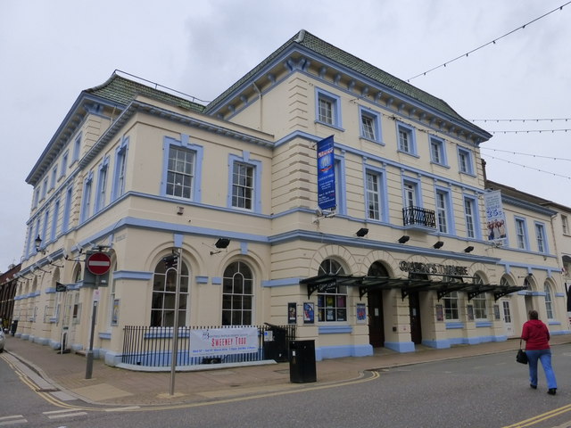
Queen's Theatre, Barnstaple
The Queen's Theatre is a theatre in Barnstaple, North Devon, England. It assumed its current form in 1993, but the history of theatre in Barnstaple can...

North Devon
North Devon is a local government district in Devon, England. Its council is based just outside Barnstaple, the district's largest town. The district also...
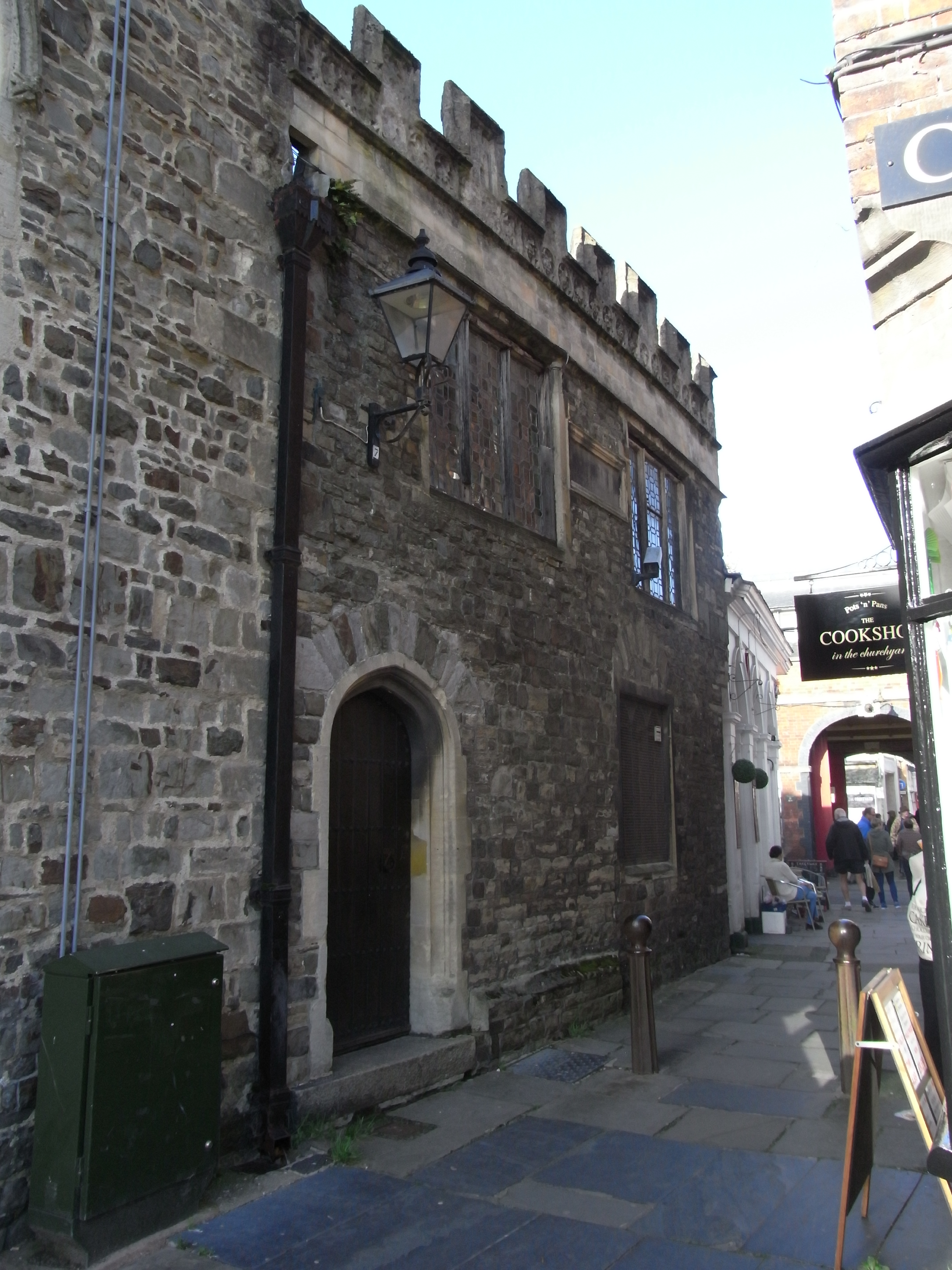
Dodderidgian Library
The Dodderidgian Library (Latin: Bibliotheca Doddridgiana) was founded in 1667 in Barnstaple, North Devon, England, by Judith Dodderidge, third wife and...
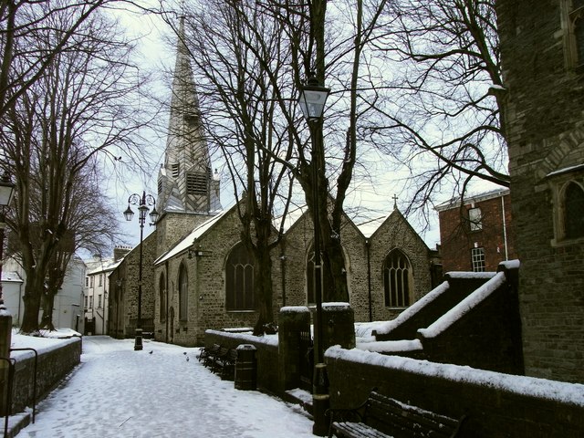
St Peter's Church, Barnstaple
St Peter's Church is the parish church of the town of Barnstaple in North Devon, England. Parts of the church date to the 13th-century with much restoration...
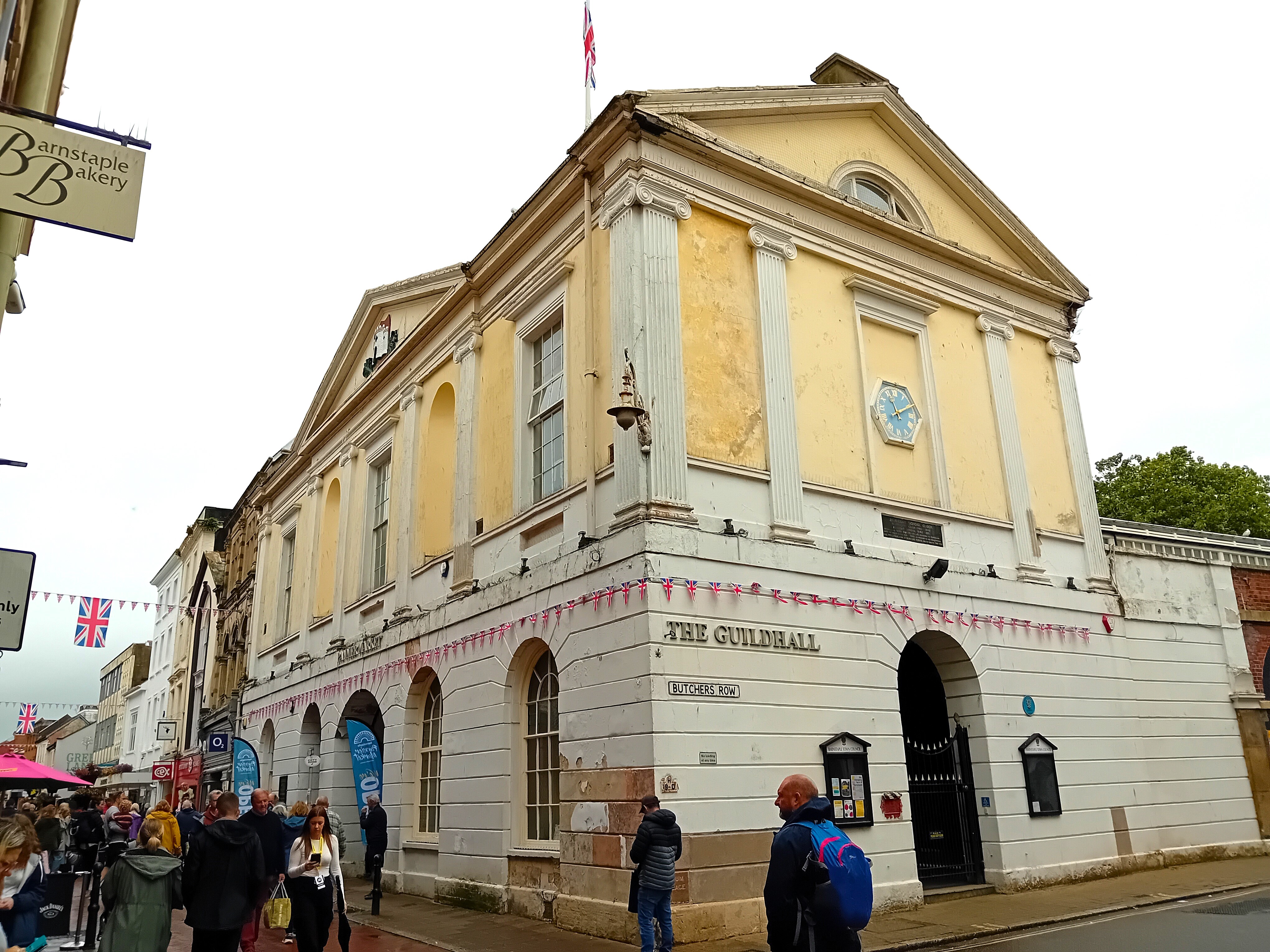
Guildhall, Barnstaple
The Guildhall in Barnstaple in Devon in the United Kingdom is the Guildhall for the town and was completed in 1828, replacing an earlier Guildhall. Beneath...

Barnstaple
Barnstaple ( or ) is a river-port town and civil parish in the North Devon district of Devon, England. The town lies at the River Taw's lowest crossing...
Bear Street drill hall, Barnstaple
The Bear Street drill hall is a former military installation in Barnstaple, Devon. It is a Grade II listed building. == History == The building was completed...

The Voice (North Devon)
The Voice is a local radio station serving North Devon, and based at studios in Barnstaple. As of September 2023, the station broadcasts to a monthly audience...
Nearby Amenities
Located within 500m of 51.081021,-4.058438Have you been to Barnstaple?
Leave your review of Barnstaple below (or comments, questions and feedback).