West Coombe
Valley in Cornwall
England
West Coombe
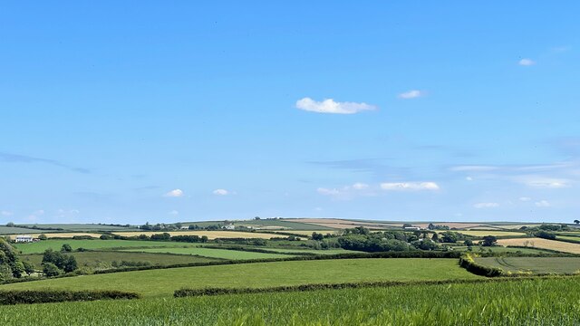
West Coombe is a small rural village nestled in the picturesque county of Cornwall, England. Situated in a valley, it offers breathtaking views of the surrounding countryside and is renowned for its natural beauty. With a population of around 200 residents, it exudes a close-knit and friendly community atmosphere.
The village is characterized by traditional stone cottages and farmhouses, which add to its charm and authenticity. The local economy is primarily based on agriculture, with many residents involved in farming and livestock rearing. The rolling hills and fertile soil make it an ideal location for agricultural activities.
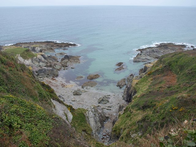
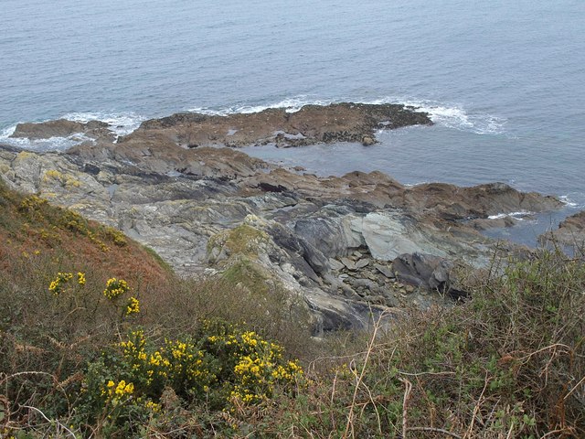
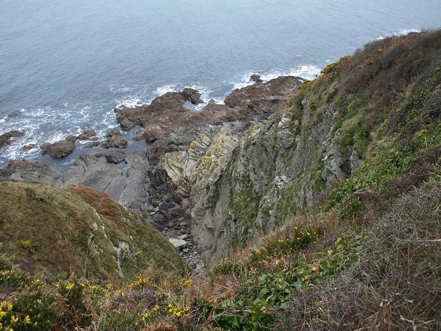
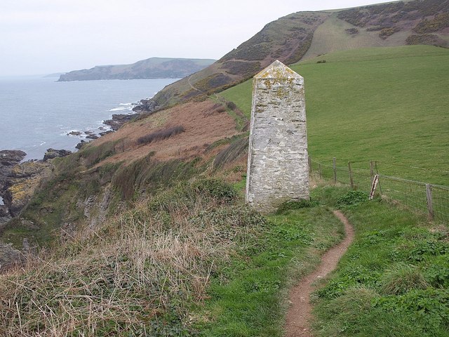
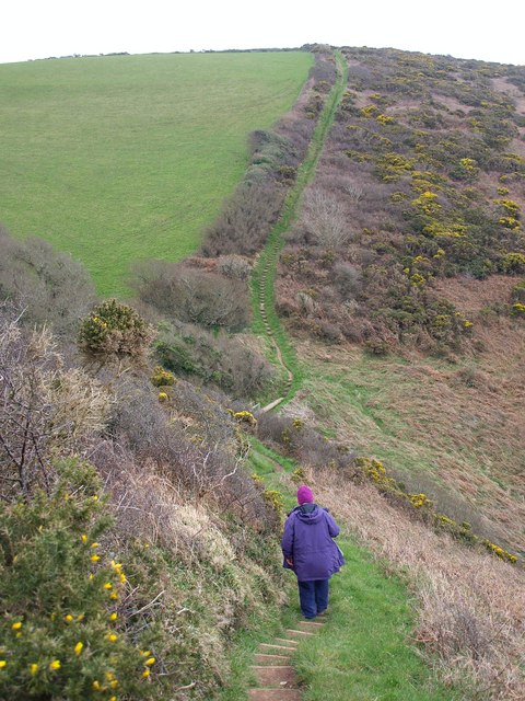
West Coombe is a haven for nature lovers and outdoor enthusiasts. The valley is home to a diverse range of flora and fauna, making it a popular destination for hiking, birdwatching, and wildlife spotting. The nearby moorland and forests offer ample opportunities for exploration and adventure.
Despite its rural setting, West Coombe is well-connected to the wider region. The village has a small primary school and a local pub, which serves as a social hub for residents and visitors alike. The nearest town, located a few miles away, provides additional amenities such as shops, healthcare facilities, and secondary schools.
In conclusion, West Coombe is a tranquil and idyllic village in Cornwall, offering a peaceful retreat from the hustle and bustle of urban life. Its natural beauty, strong sense of community, and agricultural heritage make it a desirable location for those seeking a slower pace of life amidst stunning surroundings.
If you have any feedback on the listing, please let us know in the comments section below.
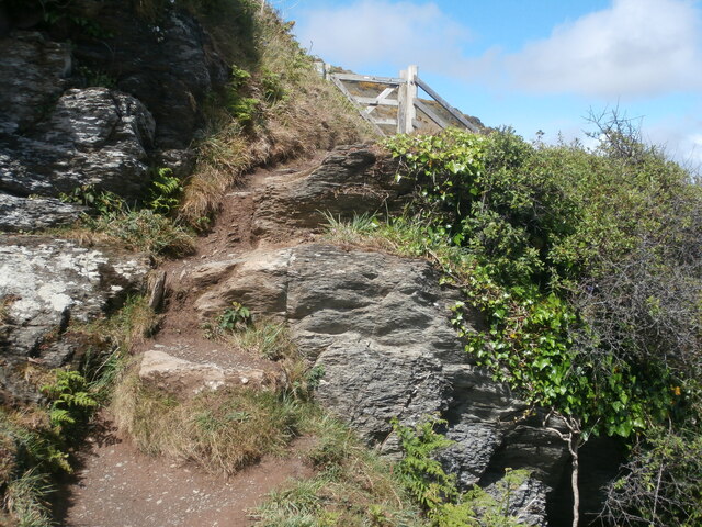
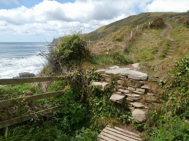
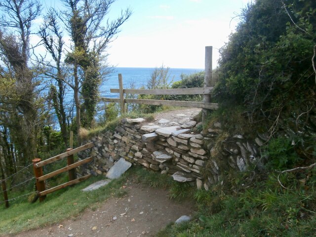
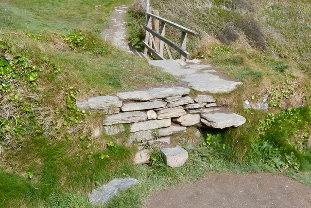
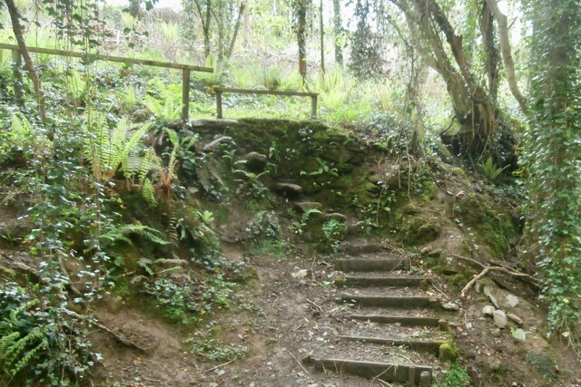
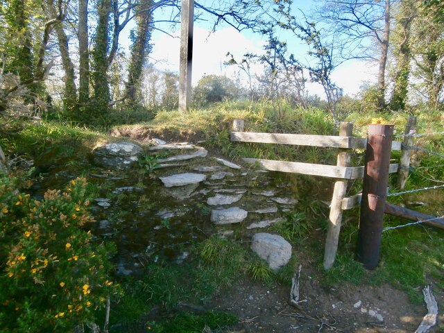
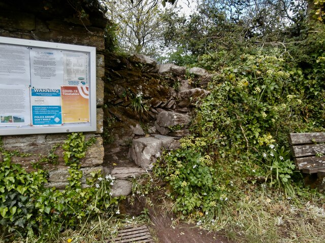
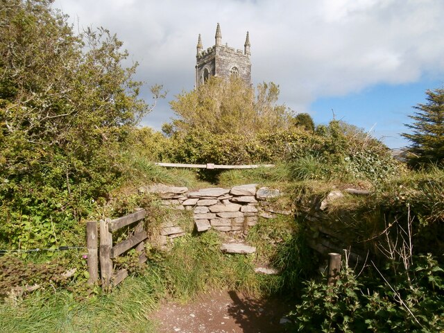
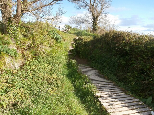
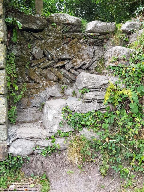
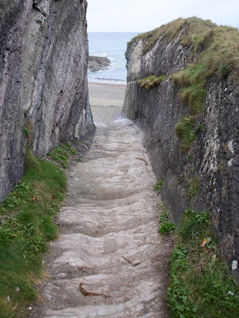
West Coombe Images
Images are sourced within 2km of 50.333857/-4.5779031 or Grid Reference SX1651. Thanks to Geograph Open Source API. All images are credited.

West Coombe is located at Grid Ref: SX1651 (Lat: 50.333857, Lng: -4.5779031)
Unitary Authority: Cornwall
Police Authority: Devon and Cornwall
What 3 Words
///bowls.truck.bounding. Near Polperro, Cornwall
Nearby Locations
Related Wikis
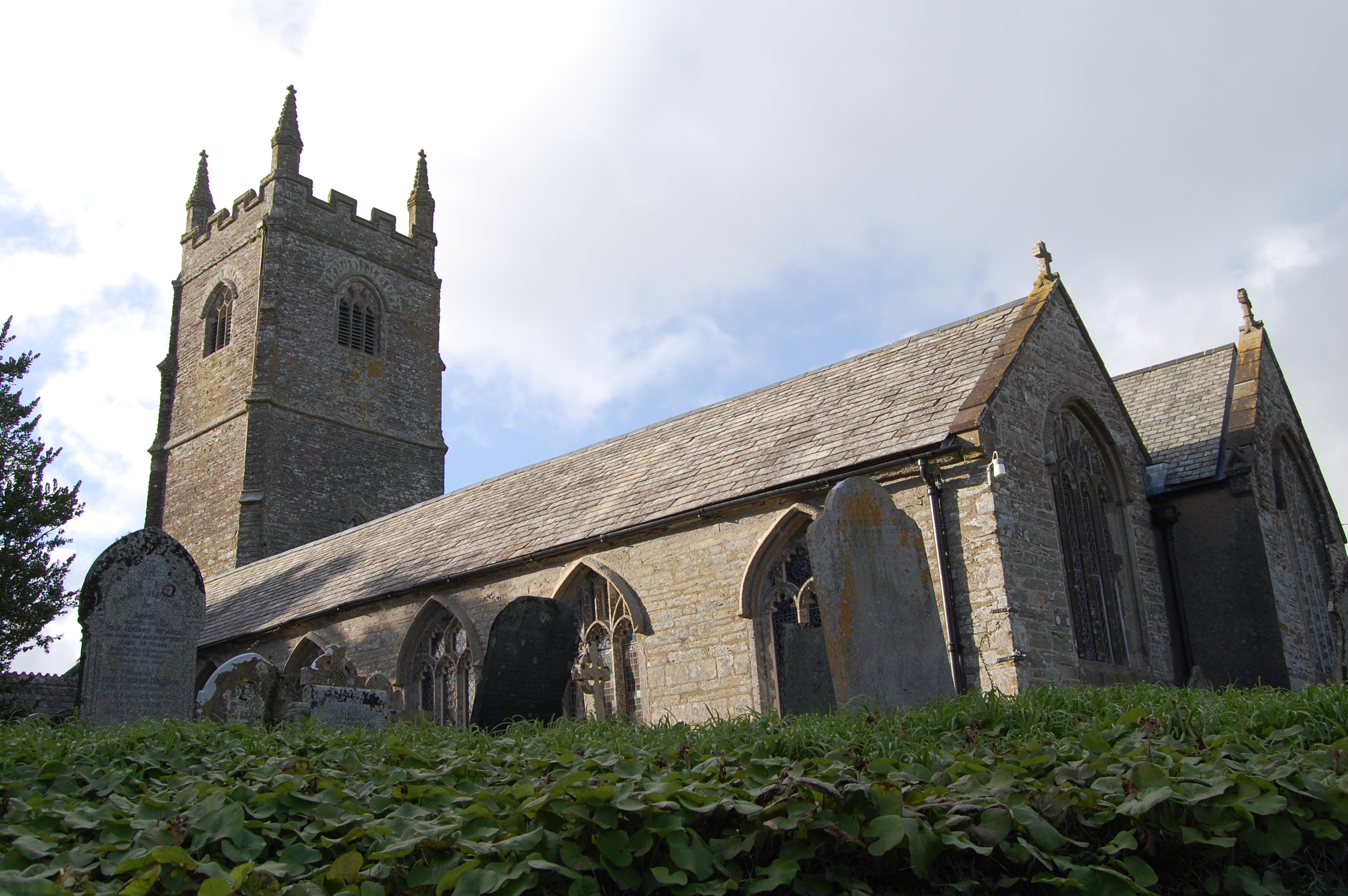
St Ildierna's Church, Lansallos
St Ildierna's Church, Lansallos is a Grade I listed parish church in the Church of England in Lansallos, Cornwall, built in the early 14th century. The...

Polruan to Polperro
Polruan to Polperro is a coastal Site of Special Scientific Interest (SSSI) and Special Area of Conservation (SAC) in south-east Cornwall, England, UK...

Lansallos
Lansallos (Latin: Lansalux; Cornish: Lansalwys, meaning St Salwys' church) is a village in the civil parish of Polperro in south Cornwall, England, United...

Windsor, Cornwall
Windsor is a hamlet in Cornwall, England, United Kingdom. It is located half-a-mile east of Lansallos village. == References ==
Nearby Amenities
Located within 500m of 50.333857,-4.5779031Have you been to West Coombe?
Leave your review of West Coombe below (or comments, questions and feedback).