Palace Cove
Sea, Estuary, Creek in Cornwall
England
Palace Cove

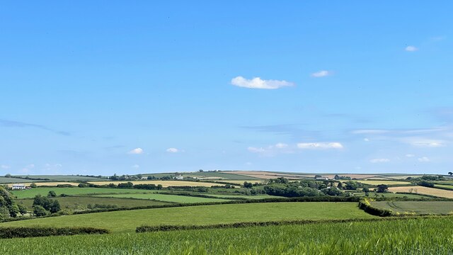
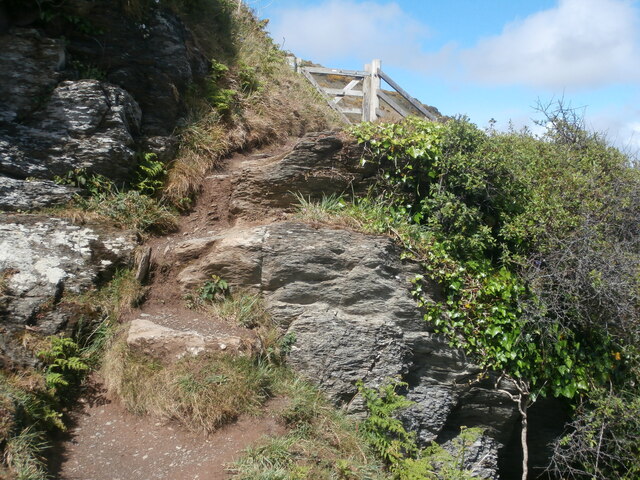
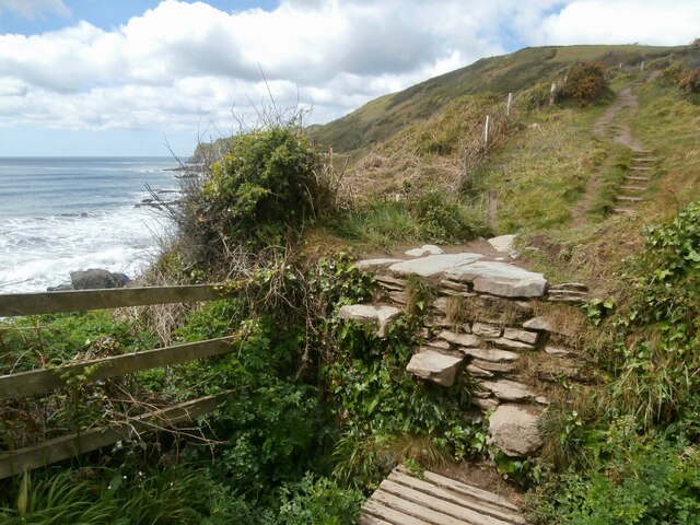
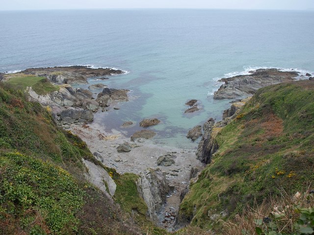
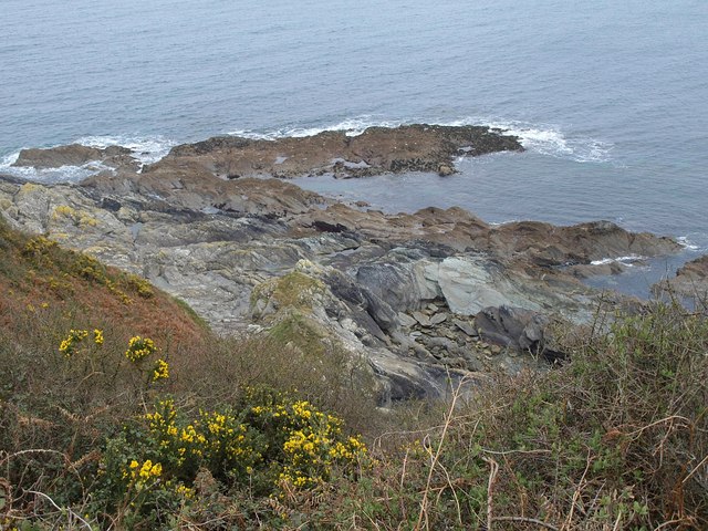
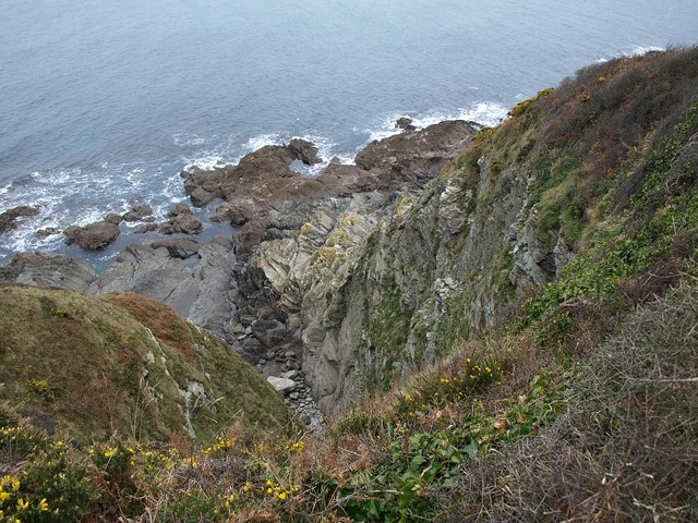
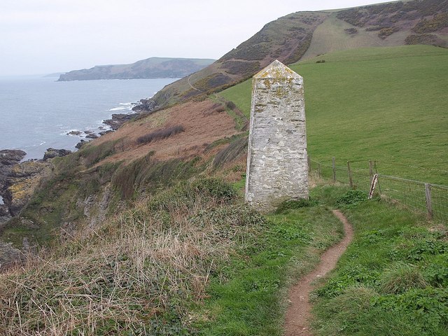
Palace Cove is a picturesque coastal area situated in Cornwall, England. Nestled between towering cliffs and rugged coastline, this idyllic spot offers visitors a mesmerizing blend of sea, estuary, and creek. With its natural beauty and tranquil atmosphere, Palace Cove is a popular destination for nature lovers, hikers, and those seeking a peaceful retreat.
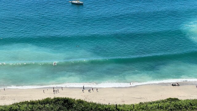
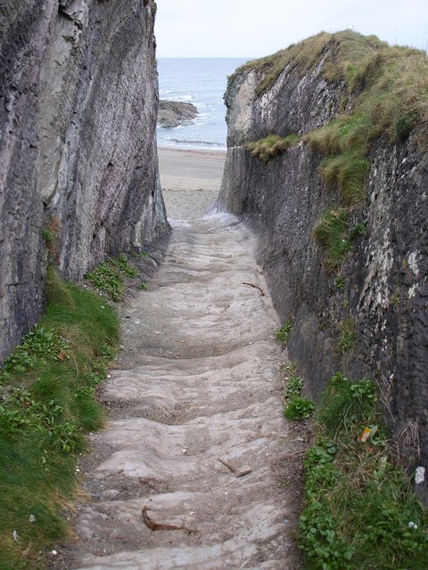
The cove is renowned for its pristine sandy beach, which stretches along the shoreline, inviting visitors to relax and soak up the sun. The crystal-clear waters of the sea offer a refreshing opportunity for swimming and snorkeling, while the gentle waves provide a soothing soundtrack for those looking to unwind. The beach is also an ideal spot for picnicking, beachcombing, or simply taking a leisurely stroll along the shore.
Adjacent to the sea, Palace Cove boasts a scenic estuary that meanders its way through the landscape. This estuary is a haven for various species of birds, making it a paradise for birdwatchers and wildlife enthusiasts. Visitors can spot herons, egrets, and even the occasional osprey as they explore the estuary's lush surroundings.
Further inland, a tranquil creek winds its way through the verdant countryside, adding to the area's natural charm. This creek offers opportunities for kayaking and paddleboarding, allowing visitors to explore the waterways at their own pace and revel in the area's serene ambiance.
Overall, Palace Cove, Cornwall, is a captivating destination that showcases the beauty of the sea, estuary, and creek. With its breathtaking scenery and abundant wildlife, this hidden gem is a must-visit for anyone seeking a peaceful and enchanting coastal experience in Cornwall.
If you have any feedback on the listing, please let us know in the comments section below.
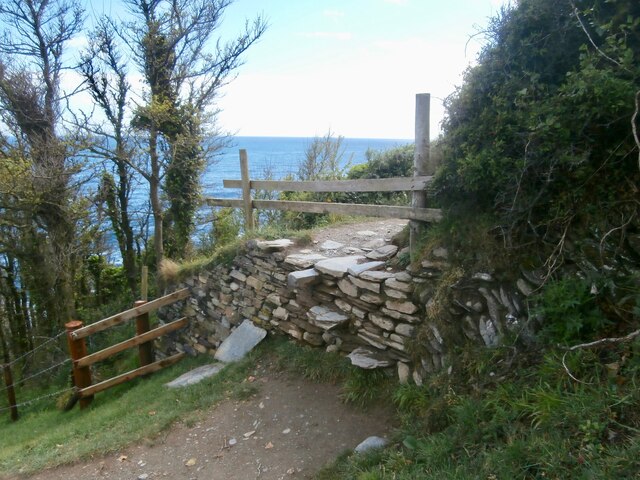
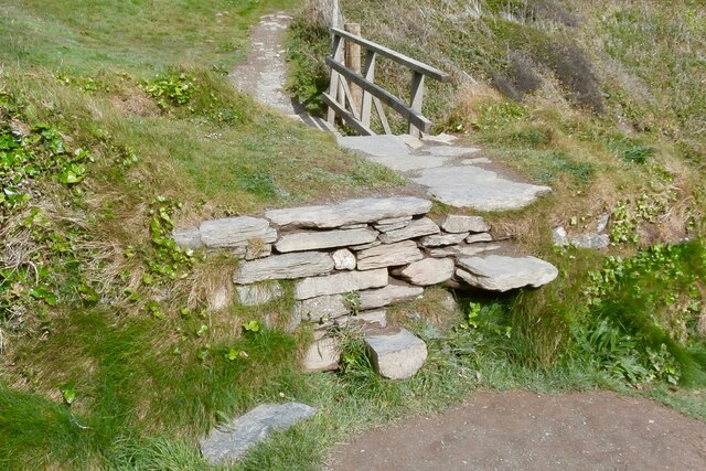
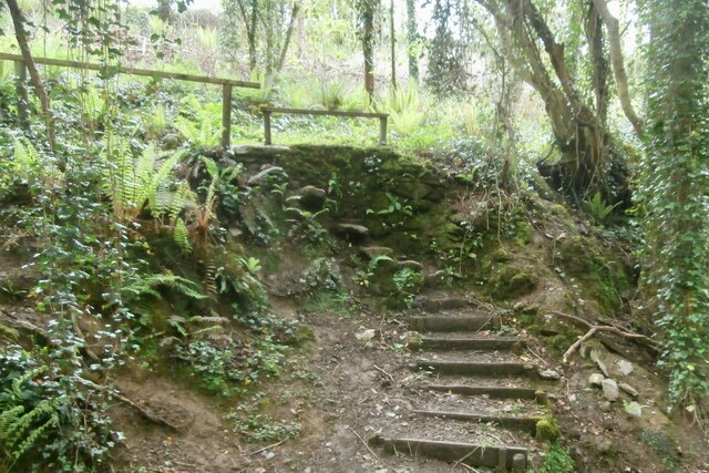
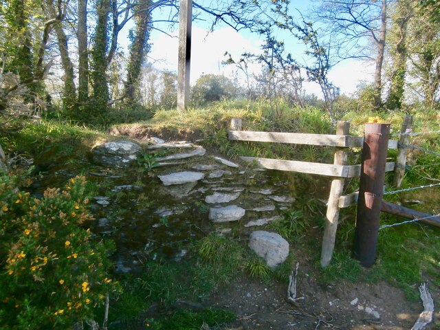
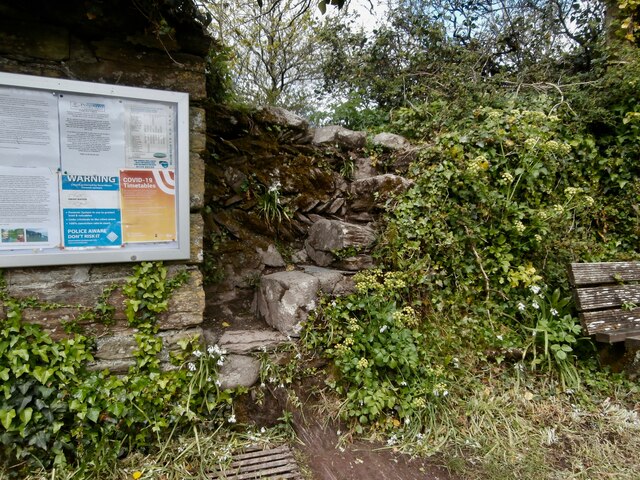
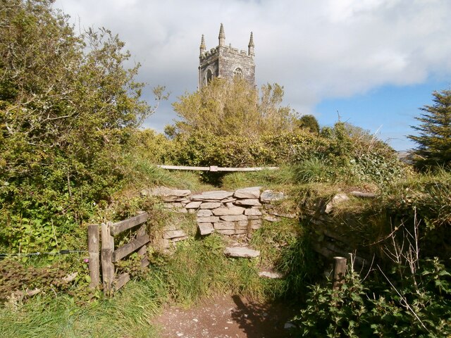
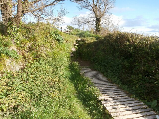
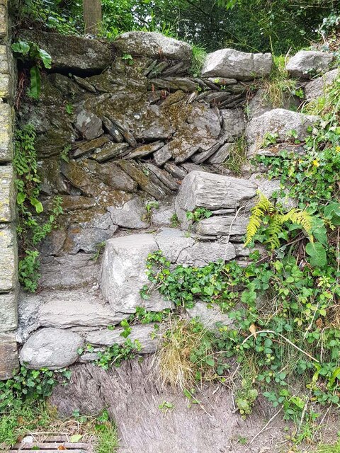
Palace Cove Images
Images are sourced within 2km of 50.331614/-4.5836978 or Grid Reference SX1651. Thanks to Geograph Open Source API. All images are credited.
Palace Cove is located at Grid Ref: SX1651 (Lat: 50.331614, Lng: -4.5836978)
Unitary Authority: Cornwall
Police Authority: Devon and Cornwall
What 3 Words
///obviously.popped.chop. Near Fowey, Cornwall
Nearby Locations
Related Wikis

Polruan to Polperro
Polruan to Polperro is a coastal Site of Special Scientific Interest (SSSI) and Special Area of Conservation (SAC) in south-east Cornwall, England, UK...
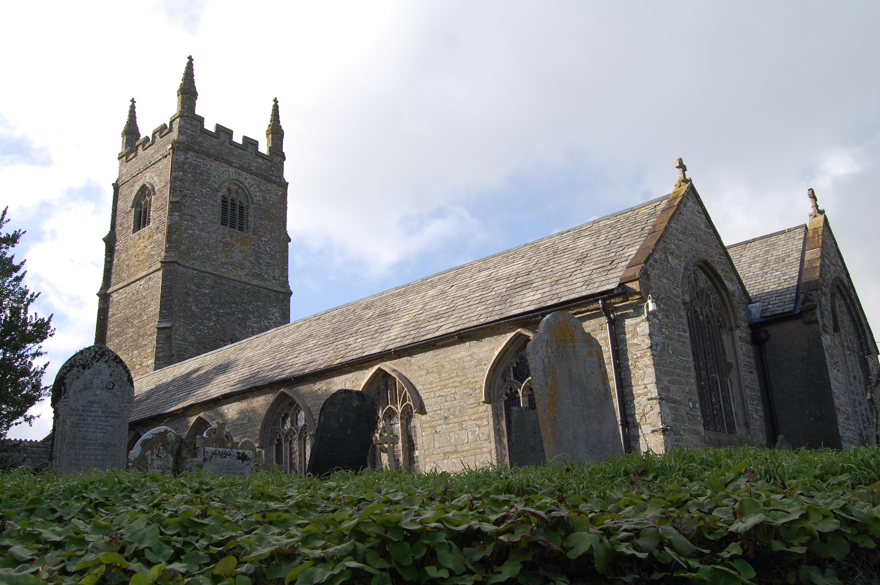
St Ildierna's Church, Lansallos
St Ildierna's Church, Lansallos is a Grade I listed parish church in the Church of England in Lansallos, Cornwall, built in the early 14th century. The...

Lansallos
Lansallos (Latin: Lansalux; Cornish: Lansalwys, meaning St Salwys' church) is a village in the civil parish of Polperro in south Cornwall, England, United...

Windsor, Cornwall
Windsor is a hamlet in Cornwall, England, United Kingdom. It is located half-a-mile east of Lansallos village. == References ==
Nearby Amenities
Located within 500m of 50.331614,-4.5836978Have you been to Palace Cove?
Leave your review of Palace Cove below (or comments, questions and feedback).