Sandheap Point
Coastal Feature, Headland, Point in Cornwall
England
Sandheap Point
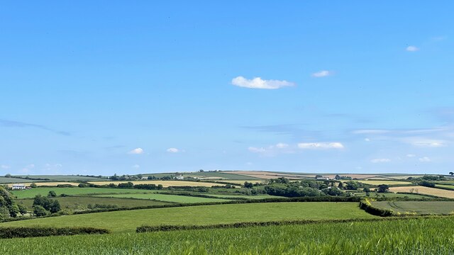
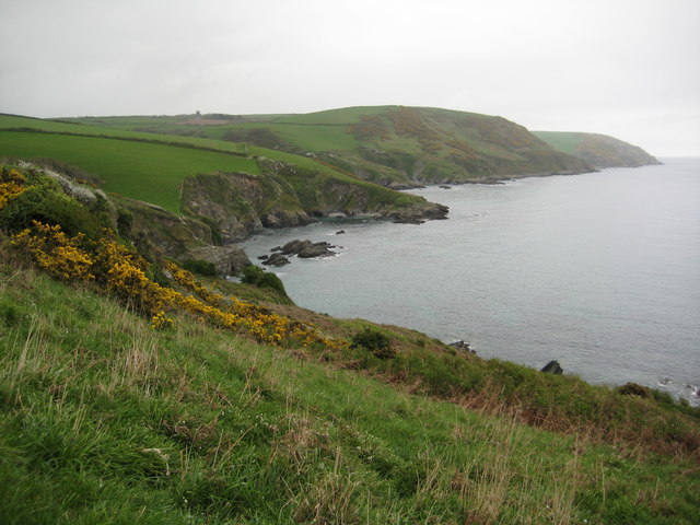
Sandheap Point is a prominent coastal feature located in Cornwall, England. It is a headland that juts out into the Atlantic Ocean, forming a picturesque point that offers stunning views of the surrounding landscape. The point is situated on the western coast of Cornwall, near the town of St Ives.
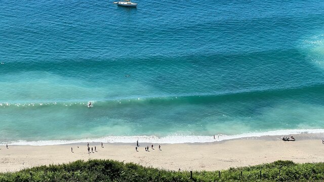
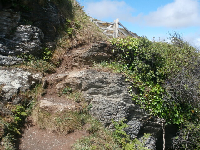
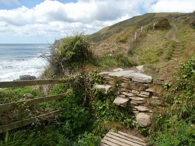
The name "Sandheap Point" is derived from the abundance of sandy beaches and dunes that can be found in the area. The point itself is characterized by rugged cliffs that rise up from the sea, providing a dramatic backdrop to the coastline. The cliffs are composed of granite, a common geological feature in this part of Cornwall.
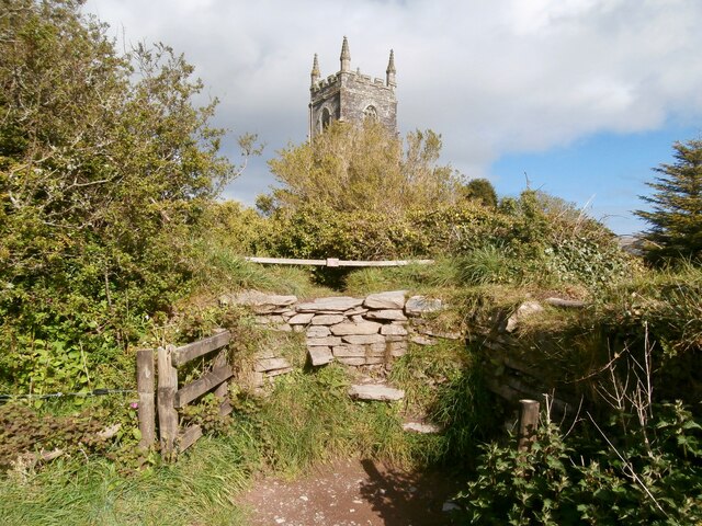
Sandheap Point is a popular destination for nature enthusiasts, hikers, and photographers due to its natural beauty and panoramic views. The headland offers breathtaking vistas of the ocean, with waves crashing against the rocks below. Visitors can also enjoy exploring the sandy beaches and dunes, which provide opportunities for sunbathing, picnicking, and beachcombing.
The area surrounding Sandheap Point is rich in biodiversity, with a diverse range of flora and fauna. Seabirds such as gulls and cormorants can often be spotted nesting on the cliffs, while seals and dolphins can be seen swimming in the waters below. The point is also home to several rare plant species, adding to its ecological significance.
Overall, Sandheap Point is a stunning coastal feature that showcases the natural beauty of Cornwall. Its rugged cliffs, sandy beaches, and abundant wildlife make it a must-visit destination for those seeking to experience the region's coastal charm.
If you have any feedback on the listing, please let us know in the comments section below.
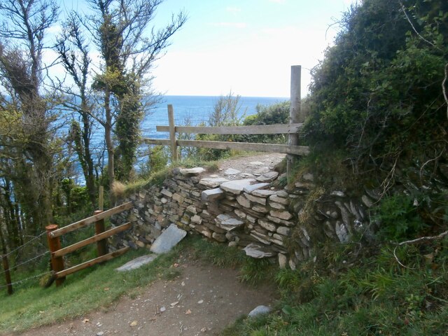
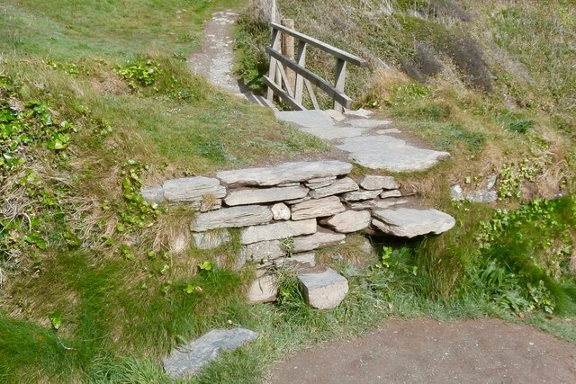
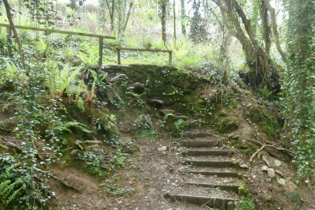
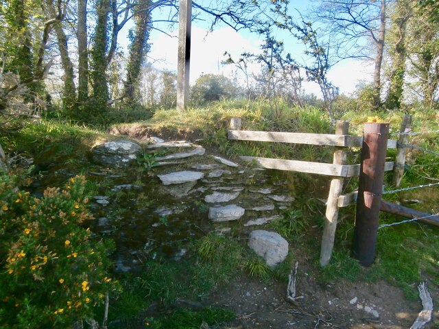
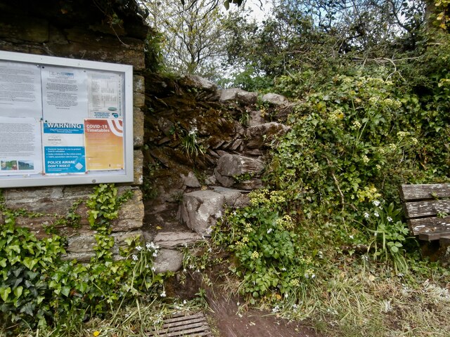
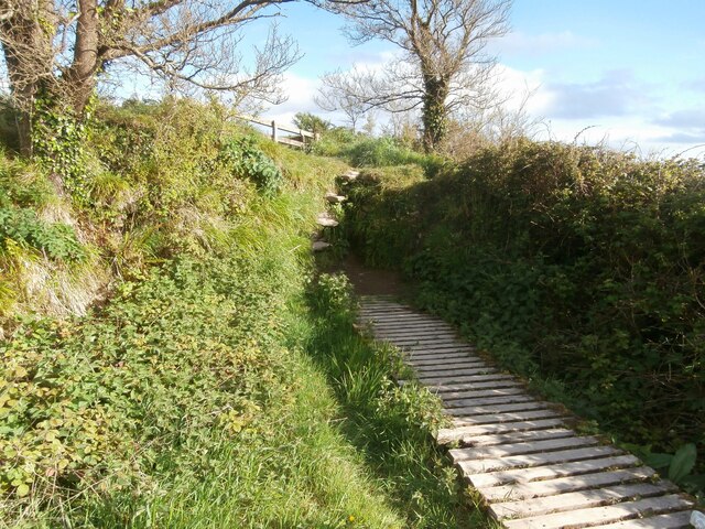
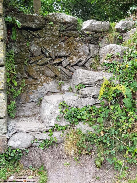
Sandheap Point Images
Images are sourced within 2km of 50.331633/-4.5824481 or Grid Reference SX1651. Thanks to Geograph Open Source API. All images are credited.


Sandheap Point is located at Grid Ref: SX1651 (Lat: 50.331633, Lng: -4.5824481)
Unitary Authority: Cornwall
Police Authority: Devon and Cornwall
What 3 Words
///deflation.dragons.returns. Near Fowey, Cornwall
Nearby Locations
Related Wikis

Polruan to Polperro
Polruan to Polperro is a coastal Site of Special Scientific Interest (SSSI) and Special Area of Conservation (SAC) in south-east Cornwall, England, UK...
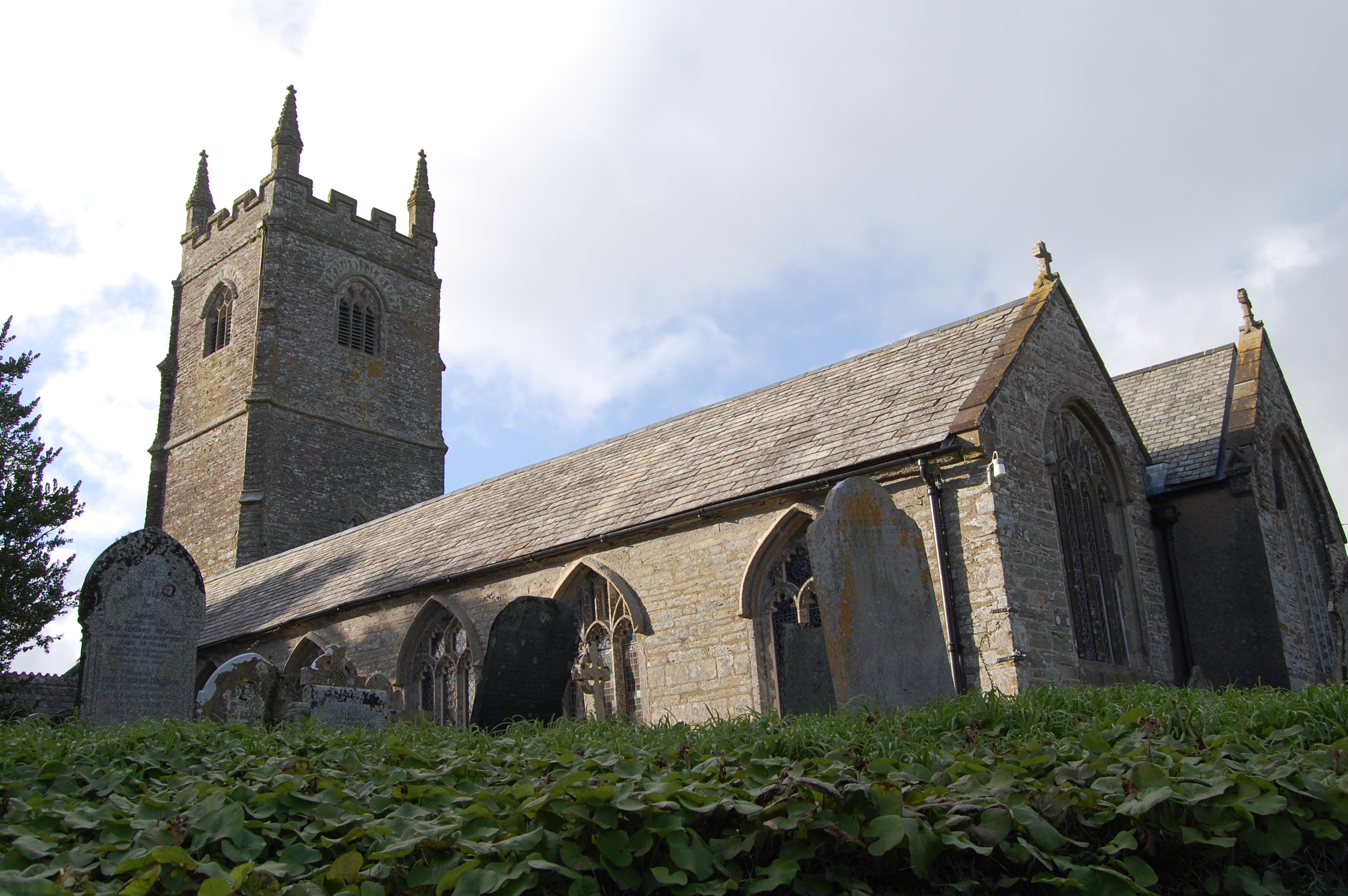
St Ildierna's Church, Lansallos
St Ildierna's Church, Lansallos is a Grade I listed parish church in the Church of England in Lansallos, Cornwall, built in the early 14th century. The...

Lansallos
Lansallos (Latin: Lansalux; Cornish: Lansalwys, meaning St Salwys' church) is a village in the civil parish of Polperro in south Cornwall, England, United...

Windsor, Cornwall
Windsor is a hamlet in Cornwall, England, United Kingdom. It is located half-a-mile east of Lansallos village. == References ==
Nearby Amenities
Located within 500m of 50.331633,-4.5824481Have you been to Sandheap Point?
Leave your review of Sandheap Point below (or comments, questions and feedback).