Gleannan Allt an Amise
Valley in Ross-shire
Scotland
Gleannan Allt an Amise

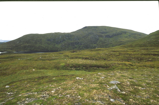
Gleannan Allt an Amise is a picturesque valley located in Ross-shire, Scotland. Surrounded by rolling hills and lush greenery, this valley is a haven for nature lovers and outdoor enthusiasts. The name "Gleannan Allt an Amise" translates to "Valley of the Stream of the Shelter."
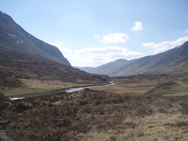
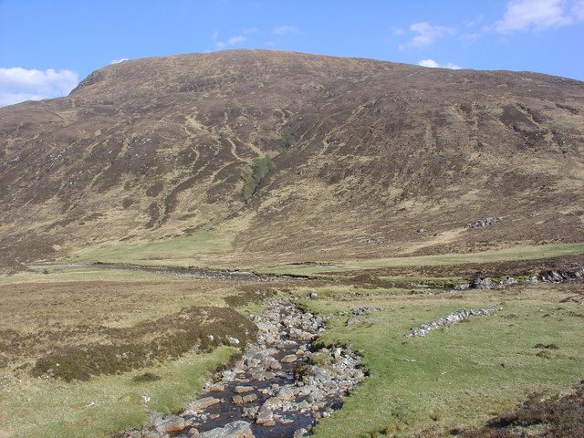
The valley is known for its stunning natural beauty and diverse wildlife. The crystal-clear stream that flows through the valley adds to its charm, creating a tranquil and peaceful atmosphere. The stream is a popular spot for fishing, with salmon and trout being abundant in its waters.
The valley is home to a variety of plant and animal species, including red deer, otters, and a wide range of birdlife. It is a paradise for birdwatchers, as they can spot species such as golden eagles, peregrine falcons, and ospreys soaring above the valley.
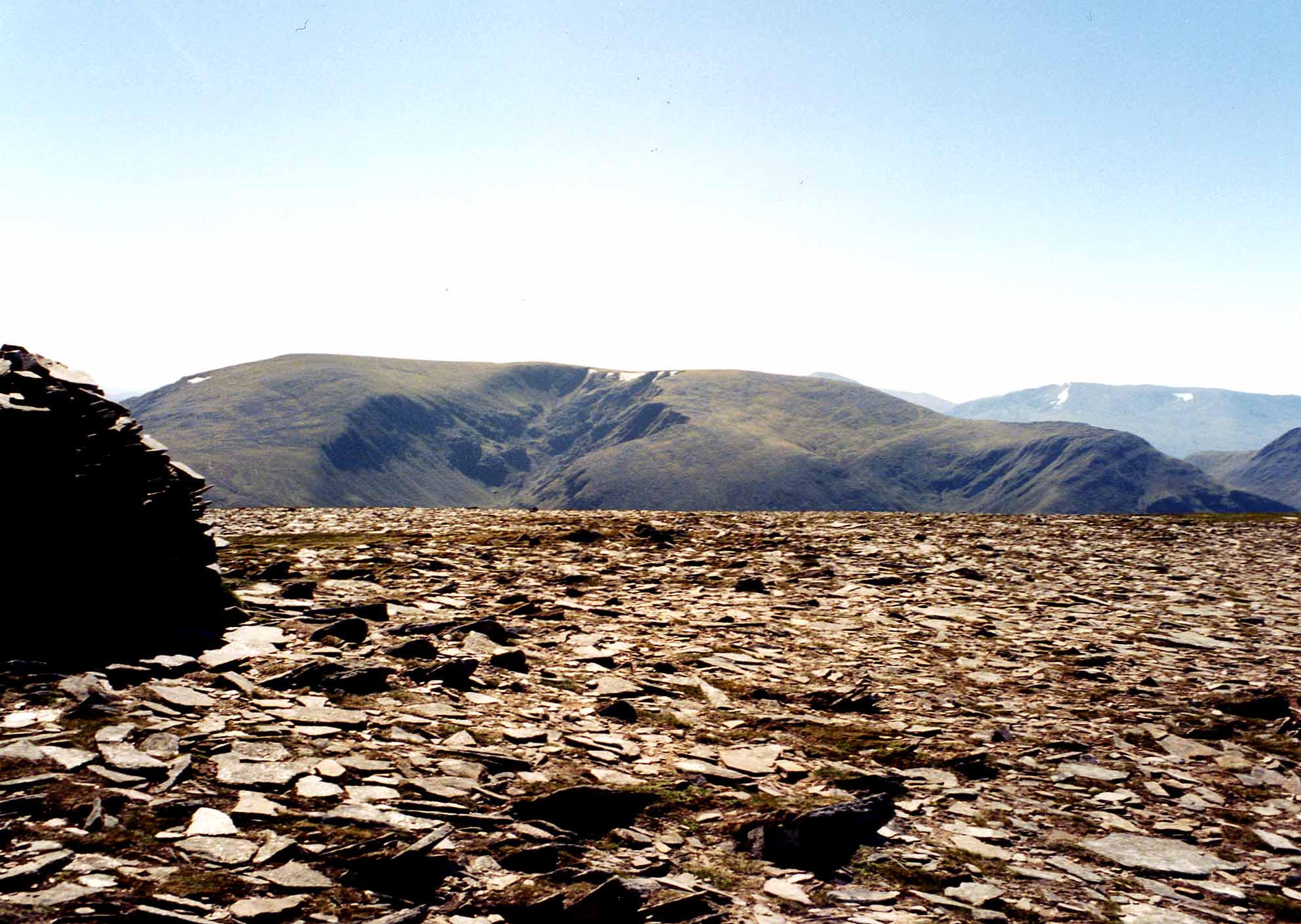
Hiking and walking trails crisscross the valley, offering visitors the opportunity to explore its breathtaking landscapes. The trails provide stunning views of the surrounding hills and mountains, making it a perfect destination for photographers and nature enthusiasts.
Gleannan Allt an Amise is also steeped in history, with ancient ruins and archaeological sites scattered throughout the valley. These remnants tell the story of the valley's past inhabitants and their way of life.
Overall, Gleannan Allt an Amise is a hidden gem in Ross-shire, offering visitors a chance to immerse themselves in the beauty of nature and experience the rich history of the region.
If you have any feedback on the listing, please let us know in the comments section below.
Gleannan Allt an Amise Images
Images are sourced within 2km of 57.480019/-5.0607987 or Grid Reference NH1647. Thanks to Geograph Open Source API. All images are credited.


Gleannan Allt an Amise is located at Grid Ref: NH1647 (Lat: 57.480019, Lng: -5.0607987)
Unitary Authority: Highland
Police Authority: Highlands and Islands
What 3 Words
///satellite.pave.fork. Near Achnasheen, Highland
Nearby Locations
Related Wikis
Maoile Lunndaidh
Maoile Lunndaidh or Maoil Lunndaidh is a Scottish mountain situated 13 km south of Achnasheen in the Ross and Cromarty district of the Highland council...

Northwest Highlands
The Northwest Highlands are located in the northern third of Scotland that is separated from the Grampian Mountains by the Great Glen (Glen More). The...

Highland (council area)
Highland (Scottish Gaelic: Gàidhealtachd, pronounced [ˈkɛːəl̪ˠt̪əxk]; Scots: Hieland) is a council area in the Scottish Highlands and is the largest local...

Bac an Eich
Bac an Eich (849 m) is a mountain in Ross and Cromarty in the Northwest Highlands of Scotland. A very remote mountain, it lies at the head of Strathconan...
Have you been to Gleannan Allt an Amise?
Leave your review of Gleannan Allt an Amise below (or comments, questions and feedback).