New Valley

Valley in Ross-shire

Scotland

New Valley

Loch Àirigh na Lic With the remains of a crannog just breaking the water to the left, and a quarry across the water
Loch Àirigh na Lic Credit: M J Richardson

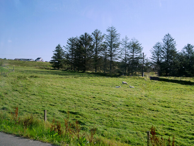
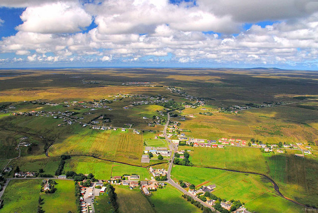
New Valley is a small village located in the Ross-shire region of Scotland. Nestled at the foot of the picturesque hills, it is surrounded by stunning natural beauty, making it a popular destination for nature lovers and outdoor enthusiasts.

The village is characterized by its peaceful and tranquil atmosphere, offering a welcome respite from the hustle and bustle of city life. Despite its small size, New Valley is well-equipped with basic amenities such as a local grocery store, a post office, and a primary school, catering to the needs of its residents.

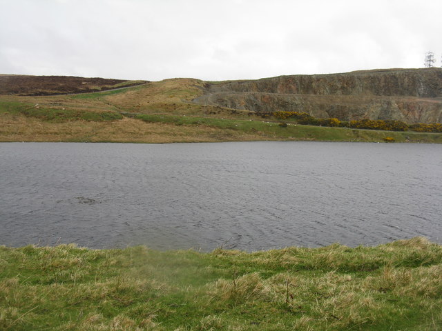
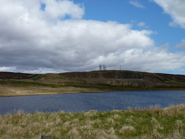
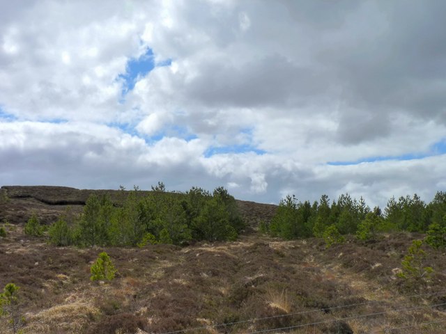
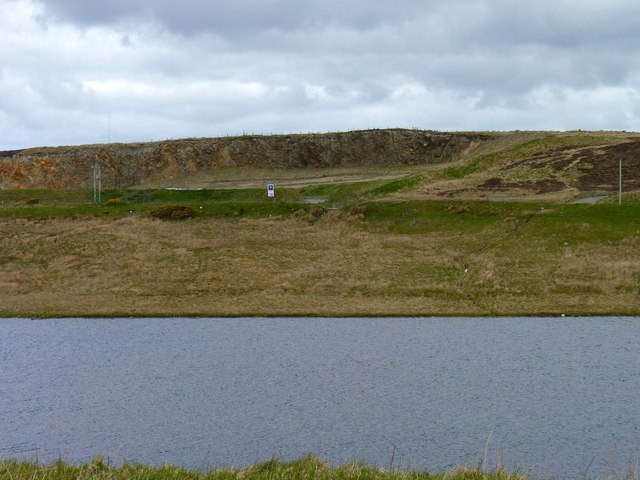
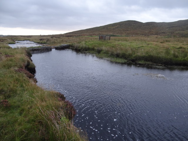
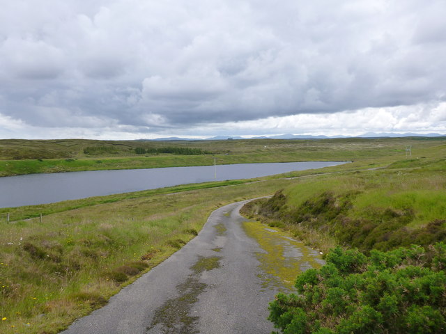
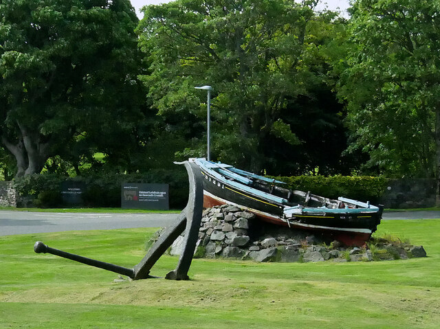
One of the main attractions of New Valley is its proximity to the beautiful River Valley, which runs through the village. The river provides ample opportunities for fishing and boating, attracting both locals and tourists alike. Additionally, the surrounding hills offer numerous hiking trails, allowing visitors to explore the stunning Scottish countryside.

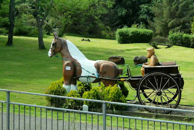
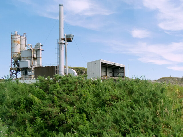
New Valley is also known for its rich history, with several historical landmarks scattered throughout the village. The Old Mill, a well-preserved relic from the industrial revolution, serves as a reminder of the village's past. There are also several ancient standing stones in the area, hinting at a long and fascinating history.

Overall, New Valley is a charming and idyllic village, offering a peaceful retreat for those seeking a break from the daily grind. With its natural beauty, outdoor activities, and historical significance, it is a hidden gem worth exploring in Ross-shire.

If you have any feedback on the listing, please let us know in the comments section below.
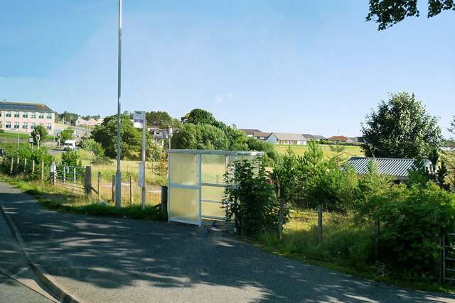
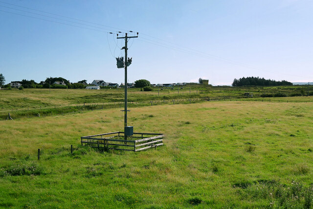
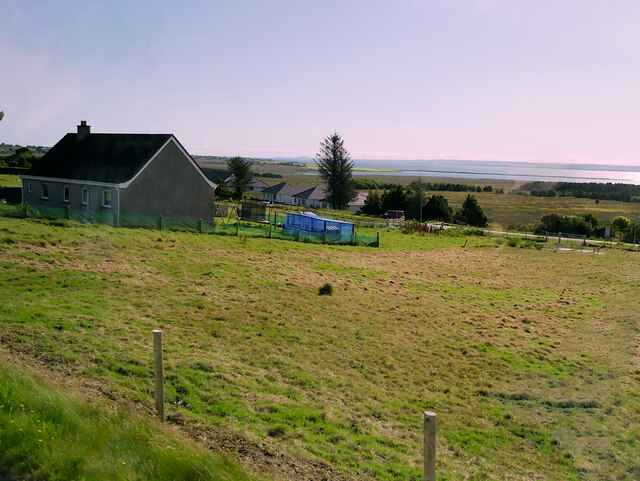
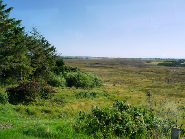
New Valley Images

Images are sourced within 2km of 58.226387/-6.4049604 or Grid Reference NB4134. Thanks to Geograph Open Source API. All images are credited.

Loch Àirigh na Lic With the remains of a crannog just breaking the water to the left, and a quarry across the water
Loch Àirigh na Lic
With the remains of a crannog just breaking the water to the left, and a quarry across the water
Southern shore of Loch Airigh na Lic With a quarry face and WT station beyond the loch.
Southern shore of Loch Airigh na Lic
With a quarry face and WT station beyond the loch.
Surviving trees Very few trees manage to survive on the moorland alongside the Pentland Road, but these are some of them.
Surviving trees
Very few trees manage to survive on the moorland alongside the Pentland Road, but these are some of them.
Quarry across the water The quarry on the north side of Loch Àirigh na Lic.
Quarry across the water
The quarry on the north side of Loch Àirigh na Lic.
"Ford" on Abhainn Lacasdail at Hogaraid The ford is unsuitable for a Ford car, but a motorcycle or a large leap of faith will get you across to the other side.
"Ford" on Abhainn Lacasdail at Hogaraid
The ford is unsuitable for a Ford car, but a motorcycle or a large leap of faith will get you across to the other side.
The road down from the WT Station The view over Loch Àirigh na Lic.
The road down from the WT Station
The view over Loch Àirigh na Lic.
Isle of Lewis War Memorial
Stornoway, Willowglen Road
Boat and Anchor A typical 1940/50s West Coast fishing boat, Scalpay, now featured as one of the ornamental displays around Stornoway.
Boat and Anchor
A typical 1940/50s West Coast fishing boat, Scalpay, now featured as one of the ornamental displays around Stornoway.
Horse and Carriage near Lews Castle This sculpture of a horse, carriage and its driver carved from wood, stands near the entrance to Lews Castle in Stornoway. More details may be found at <span class="nowrap"><a title="https://treecarving.co.uk/lews-castle-carriage-driver-sculpture/" rel="nofollow ugc noopener" href="https://treecarving.co.uk/lews-castle-carriage-driver-sculpture/">Link</a><img style="margin-left:2px;" alt="External link" title="External link - shift click to open in new window" src="https://s1.geograph.org.uk/img/external.png" width="10" height="10"/></span> , the website of the sculptor, Simon O'Rourke.
Horse and Carriage near Lews Castle
This sculpture of a horse, carriage and its driver carved from wood, stands near the entrance to Lews Castle in Stornoway. More details may be found at LinkExternal link , the website of the sculptor, Simon O'Rourke.
The Boatman's Tower, Stornoway Built in 1847-51 by Sir James Matheson in the Neo-Gothic style popular in the Victorian era and substantially altered by Lord Leverhulme. After being used as a school, it re-opened in 2016 with the addition of a modern extension for the museum/archives (<span class="nowrap"><a title="https://www.visitouterhebrides.co.uk/see-and-do/2-the-boatmans-tower-p560881" rel="nofollow ugc noopener" href="https://www.visitouterhebrides.co.uk/see-and-do/2-the-boatmans-tower-p560881">Link</a><img style="margin-left:2px;" alt="External link" title="External link - shift click to open in new window" src="https://s1.geograph.org.uk/img/external.png" width="10" height="10"/></span> Visit the Outer Hebrides).
The Boatman's Tower, Stornoway
Built in 1847-51 by Sir James Matheson in the Neo-Gothic style popular in the Victorian era and substantially altered by Lord Leverhulme. After being used as a school, it re-opened in 2016 with the addition of a modern extension for the museum/archives (LinkExternal link Visit the Outer Hebrides).
Sheep Grazing in a Field near Lacasdal
Lacasdal Bus Stop
Lacasdal Bus Stop
Laxdale
Laxdale
House at Newmarket
House at Newmarket
Moorland north of Newmarket
Marybank Quarry
Marybank Quarry
Lews Castle, Marybank Lodge and Gateway Mid-nineteenth century gate and gatehouse to Lews Castle. Category C listed building (LB18817 <span class="nowrap"><a title="https://portal.historicenvironment.scot/designation/LB18817" rel="nofollow ugc noopener" href="https://portal.historicenvironment.scot/designation/LB18817">Link</a><img style="margin-left:2px;" alt="External link" title="External link - shift click to open in new window" src="https://s1.geograph.org.uk/img/external.png" width="10" height="10"/></span> Historic Environment Scotland).
Lews Castle, Marybank Lodge and Gateway
Mid-nineteenth century gate and gatehouse to Lews Castle. Category C listed building (LB18817 LinkExternal link Historic Environment Scotland).
Show me another place!

New Valley is located at Grid Ref: NB4134 (Lat: 58.226387, Lng: -6.4049604)

Unitary Authority: Na h-Eileanan an Iar

Police Authority: Highlands and Islands

What 3 Words

///another.flitting.notion. Near Stornoway, Na h-Eileanan Siar

Related Wikis

Newvalley, Lewis

Newvalley (Scottish Gaelic: An Gleann Ùr) is a hamlet on the Isle of Lewis in the Outer Hebrides, Scotland. Newvalley is within the parish of Stornoway...
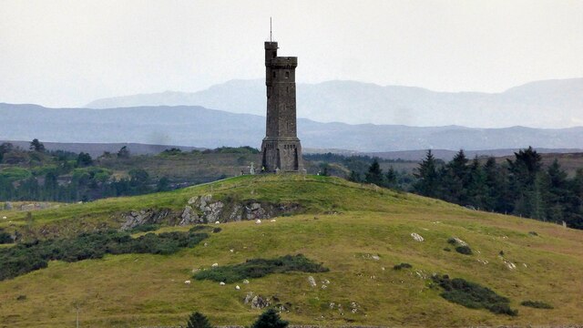
Lewis War Memorial

The Lewis War Memorial is a war memorial dedicated to the men from the Lewis area (Outer Hebrides, Scotland) who lost their lives in World War I and those...
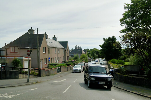
Laxdale

Laxdale (Scottish Gaelic: Lacasdal) is a village in the Scottish Outer Hebrides, on the Isle of Lewis. Although nominally a distinct village, Laxdale is...

Newmarket, Lewis

Newmarket (; Scottish Gaelic: An Margaidh Ùr [ən̪ˠ ˈmaɾakaj ˈuːɾ]) is a village in the Outer Hebrides of Scotland, on the Isle of Lewis near Stornoway...

Marybank, Lewis

Marybank (Scottish Gaelic: Bruach Màiri, IPA:[ˈpɾuəxˈmaːɾʲɪ]) is a settlement on the outskirts of Stornoway, Isle of Lewis in the Outer Hebrides of Scotland...

Western Isles Hospital

The Western Isles Hospital (Scottish Gaelic: Ospadal nan Eilean Siar) is a rural general hospital in Stornoway on Lewis in the Western Isles of Scotland...

Lews Castle College

UHI North, West, and Hebrides (formerly UHI Outer Hebrides and Lews Castle College (Scottish Gaelic: Colaisde a' Chaisteil [ˈkʰɔl̪ˠɪʃtʲə ə ˈkʰaʃtʰal],...
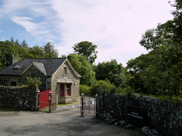
Lews Castle

Lews Castle (Scottish Gaelic: Caisteal Leòdhais) is a Victorian era castle located west of the town of Stornoway, Isle of Lewis, Scotland. It was built...

Nearby Amenities

Located within 500m of 58.226387,-6.4049604
Bus Stop
New Valley
Naptan AtcoCode: 6010731761
Naptan Bearing: W
Naptan CommonName: New Valley
Naptan Indicator: Brae Road
Naptan Landmark: Brae Road
Naptan NaptanCode: 94723892
Naptan Street: Brae Road
Naptan Verified: no
Shelter: yes
Source: naptan_import
Lat/Long: 58.2255086/-6.4024556
Passing Place
Lat/Long: 58.2298345/-6.4029323
Passing Place
Lat/Long: 58.229434/-6.4043701
An Gleann Ùr
Name En: Newvalley
Name Gd: An Gleann Ùr
Place: hamlet
Wikidata: Q13156862
Wikipedia: en:Newvalley, Lewis
Lat/Long: 58.2285611/-6.4075985
Passing Place
Lat/Long: 58.2266217/-6.4039913
Passing Place
Lat/Long: 58.2278674/-6.4055094
Passing Place
Lat/Long: 58.2276217/-6.4112762
Turning Circle
Lat/Long: 58.2304123/-6.4011508
Passing Place
Lat/Long: 58.2301228/-6.4019568
Power: pole
Lat/Long: 58.223628/-6.4113795
Power: pole
Lat/Long: 58.2241898/-6.4114926
Power: pole
Lat/Long: 58.2245044/-6.4118515
Power: pole
Lat/Long: 58.2250751/-6.4101283
Power: pole
Lat/Long: 58.2257005/-6.4083772
Power: pole
Lat/Long: 58.2259949/-6.4071287
Power: pole
Lat/Long: 58.2266917/-6.4078379
Power: pole
Lat/Long: 58.2274874/-6.408712
Power: pole
Lat/Long: 58.2280316/-6.4092458
Power: pole
Lat/Long: 58.2267528/-6.4039903
Power: pole
Lat/Long: 58.2271308/-6.40239
Power: pole
Lat/Long: 58.227464/-6.4006927
Power: pole
Lat/Long: 58.2276891/-6.3994243
Power: pole
Lat/Long: 58.2279039/-6.3981802
Power: pole
Lat/Long: 58.2280475/-6.4008722
Power: pole
Lat/Long: 58.2287829/-6.4011394
Power: pole
Lat/Long: 58.22946/-6.4013555
Power: pole
Lat/Long: 58.2302688/-6.4016318
Power: pole
Lat/Long: 58.2302474/-6.4009888
Power: pole
Lat/Long: 58.2301746/-6.400448
Power: pole
Lat/Long: 58.2298507/-6.3997385
Barrier: cattle_grid
Lat/Long: 58.2278713/-6.4093413
Power: pole
Lat/Long: 58.2263261/-6.4056383
Barrier: cattle_grid
Lat/Long: 58.2252833/-6.4056399
Power: pole
Lat/Long: 58.2269091/-6.4004881
Power: pole
Lat/Long: 58.2262467/-6.4002709
Power: pole
Lat/Long: 58.2260101/-6.4012593
Power: pole
Lat/Long: 58.225729/-6.4021538
Power: pole
Lat/Long: 58.2254564/-6.4030443
Power: pole
Lat/Long: 58.2253187/-6.4034024
Power: pole
Lat/Long: 58.2265058/-6.3987125
Power: pole
Lat/Long: 58.2266294/-6.3979749
Power: pole
Lat/Long: 58.2267452/-6.3973097
Power: pole
Lat/Long: 58.2268512/-6.3966512
The data included in this document is from www.openstreetmap.org. The data is made available under ODbL.

Have you been to New Valley?

Leave your review of New Valley below (or comments, questions and feedback).