Gleann Beag
Valley in Argyllshire
Scotland
Gleann Beag
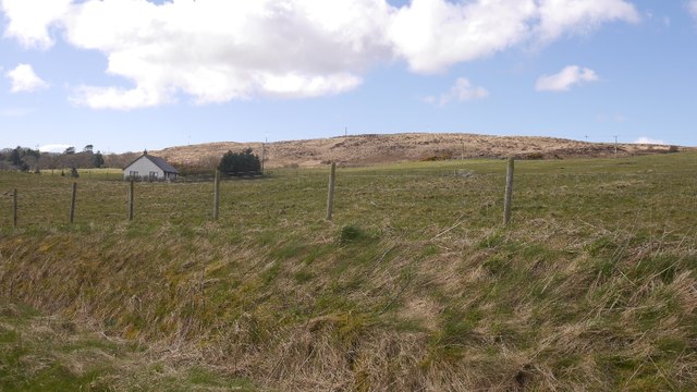
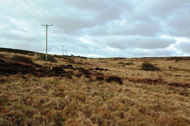
Gleann Beag, located in Argyllshire, Scotland, is a picturesque valley that showcases the natural beauty of the region. Nestled amidst the awe-inspiring Scottish Highlands, Gleann Beag offers visitors a serene and tranquil escape from the hustle and bustle of urban life.
The valley is characterized by its breathtaking landscapes, with rolling hills, verdant meadows, and meandering streams that flow through the heart of the glen. The surrounding hills provide a stunning backdrop, with their rugged peaks and rocky outcrops that add to the valley's charm.
Gleann Beag is a haven for outdoor enthusiasts, offering a plethora of activities for visitors to enjoy. Hiking and walking trails crisscross the valley, providing opportunities to explore the untouched wilderness and discover hidden gems along the way. The glen is also popular for mountain biking, with its varied terrain and challenging routes that cater to all skill levels.
Wildlife abounds in Gleann Beag, and nature lovers will be delighted by the diverse species that call this valley home. Red deer can often be spotted roaming the hillsides, while otters and various bird species frequent the rivers and lochs. The glen's rich biodiversity makes it a paradise for birdwatchers and wildlife photographers.
For those seeking a tranquil and idyllic retreat, Gleann Beag offers a selection of accommodation options, including charming cottages and bed and breakfasts that allow visitors to immerse themselves in the natural beauty of the valley.
In summary, Gleann Beag is a hidden gem in Argyllshire, Scotland, offering visitors a chance to reconnect with nature and experience the untamed beauty of the Scottish Highlands.
If you have any feedback on the listing, please let us know in the comments section below.
Gleann Beag Images
Images are sourced within 2km of 55.829526/-6.1320883 or Grid Reference NR4167. Thanks to Geograph Open Source API. All images are credited.
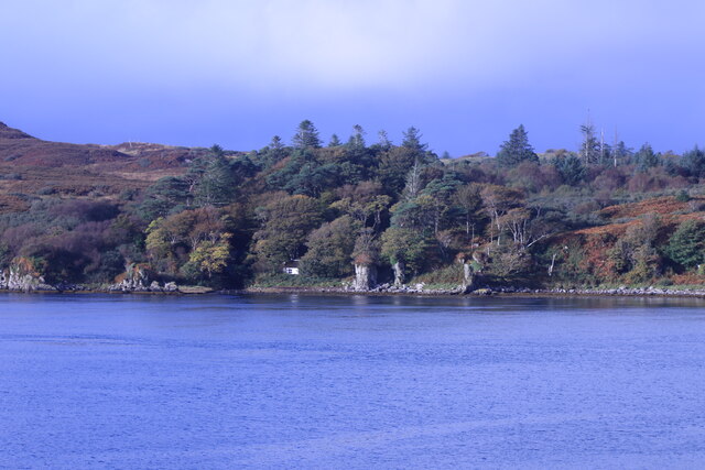
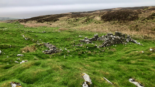
![Building (Period Unassigned) Not sure is recorded for this pair of ruins. For further info. see Canmore.org.uk. Islay, Kilslevan | Canmore. Available online at: <span class="nowrap"><a title="https://canmore.org.uk/site/155645/islay-kilslevan" rel="nofollow ugc noopener" href="https://canmore.org.uk/site/155645/islay-kilslevan">Link</a><img style="margin-left:2px;" alt="External link" title="External link - shift click to open in new window" src="https://s1.geograph.org.uk/img/external.png" width="10" height="10"/></span> [Accessed 29 May 2022].](https://s1.geograph.org.uk/geophotos/07/18/55/7185525_f2eb2f38.jpg)
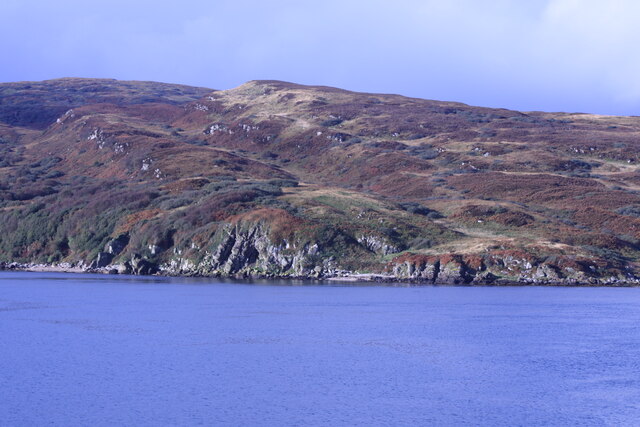
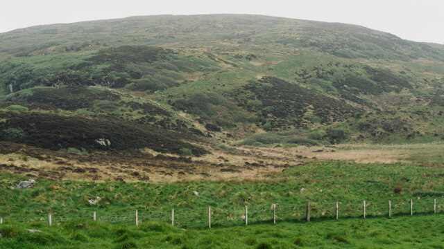
![Building (Period Unassigned) Not sure is recorded for this pair of ruins. For further info. see Canmore.org.uk. Islay, Kilslevan | Canmore. Available online at: <span class="nowrap"><a title="https://canmore.org.uk/site/155645/islay-kilslevan" rel="nofollow ugc noopener" href="https://canmore.org.uk/site/155645/islay-kilslevan">Link</a><img style="margin-left:2px;" alt="External link" title="External link - shift click to open in new window" src="https://s1.geograph.org.uk/img/external.png" width="10" height="10"/></span> [Accessed 29 May 2022].](https://s2.geograph.org.uk/geophotos/07/18/55/7185538_ab35b0f3.jpg)


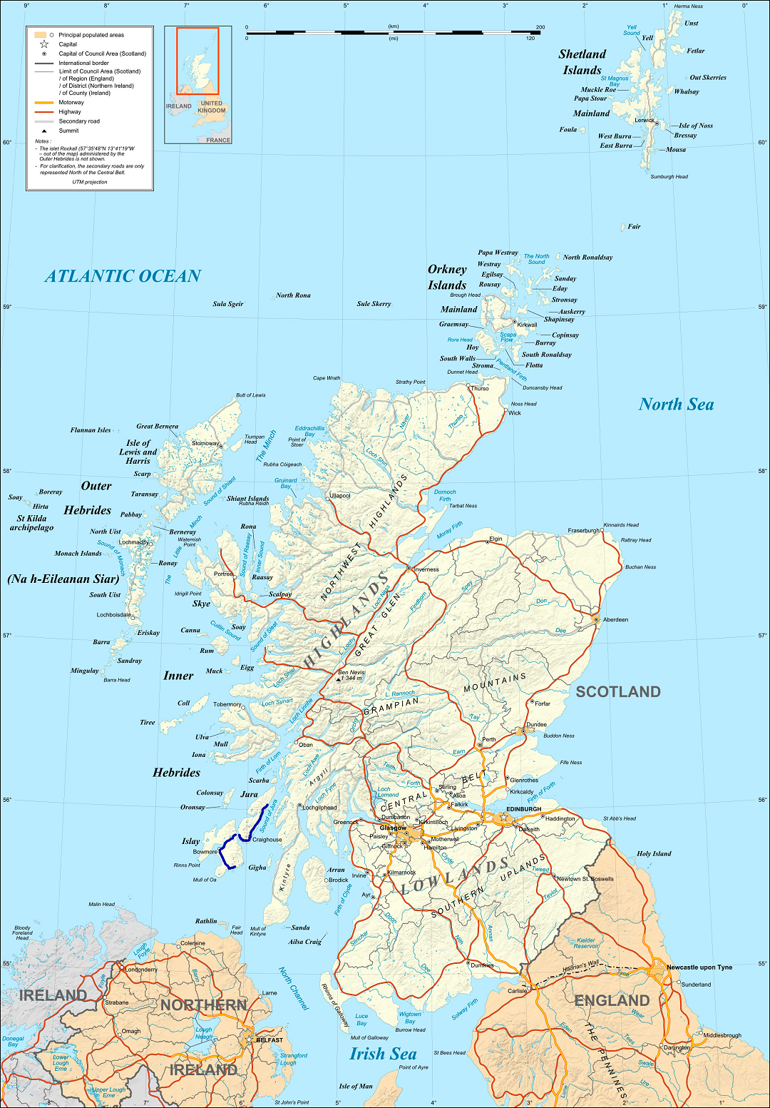
Gleann Beag is located at Grid Ref: NR4167 (Lat: 55.829526, Lng: -6.1320883)
Unitary Authority: Argyll and Bute
Police Authority: Argyll and West Dunbartonshire
What 3 Words
///taking.interviewer.custodian. Near Ballygrant, Argyll & Bute
Nearby Locations
Related Wikis

Ballygrant
Ballygrant (Scottish Gaelic: Baile a' Ghràna) is a small village on the Inner Hebrides island of Islay of the western coast of Scotland. The village is...

Dunlossit House
Dunlossit House is a Category C listed country house near Port Askaig, Islay in the county of Argyll, in western Scotland.. == History and architecture... ==

Finlaggan
Finlaggan (NR 388 680, Scottish Gaelic: Port an Eilein) is a historic site on Eilean Mòr in Loch Finlaggan. The Loch, the island, and Finlaggan Castle...

Port Askaig
Port Askaig (Scottish Gaelic: Port Asgaig) is a port village on the east coast of the island of Islay, in Scotland. The village lies on the Sound of Islay...

Sound of Islay
The Sound of Islay (Scottish Gaelic: Caol Ìle) is a narrow strait between the islands of Islay and Jura off the west coast of Scotland. It is about 30...
A846 road
The A846 road is one of the two principal roads of Islay in the Inner Hebrides off the west coast of mainland Scotland and the only 'A' road on the neighbouring...

Caol Ila distillery
Caol Ila distillery (; Scottish Gaelic: Taigh-staile Chaol Ìle [t̪ʰəˈs̪t̪alə xɯːlˈiːlə], "Sound of Islay Distillery") is a Scotch whisky distillery near...

Feolin
Feolin (also known as Feolin Ferry) is a slipway on the west coast of Jura. MV Eilean Dhiura provides a vehicle and passenger ferry service from Port Askaig...
Nearby Amenities
Located within 500m of 55.829526,-6.1320883Have you been to Gleann Beag?
Leave your review of Gleann Beag below (or comments, questions and feedback).