Loch na Feòla
Lake, Pool, Pond, Freshwater Marsh in Ross-shire
Scotland
Loch na Feòla
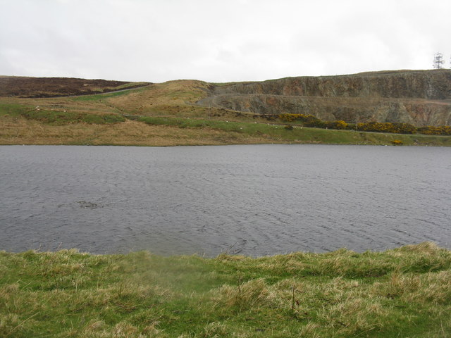
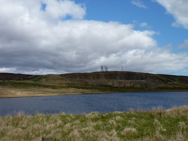
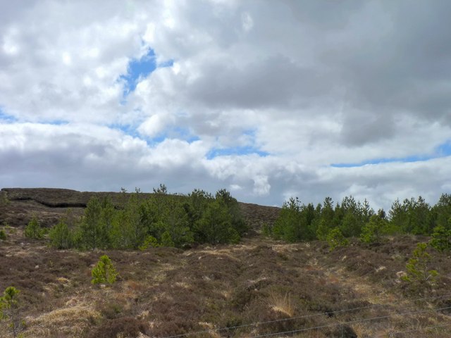
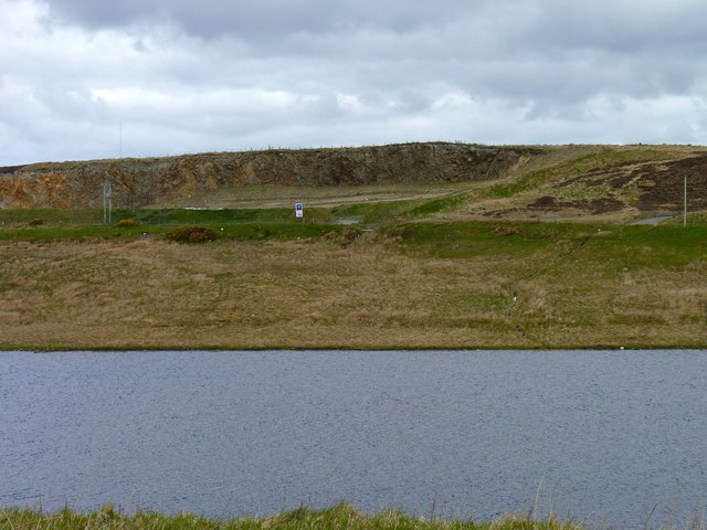
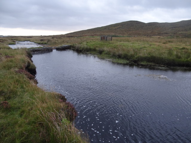
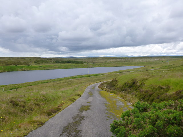
Loch na Feòla is a captivating freshwater loch located in Ross-shire, Scotland. Nestled amidst the picturesque Scottish Highlands, this tranquil natural wonder offers breathtaking views and a diverse ecosystem.
Covering an area of approximately 150 acres, Loch na Feòla boasts crystal-clear waters that reflect the surrounding hills and mountains. The loch is surrounded by lush vegetation, including reeds and water lilies, which provide a habitat for a wide variety of wildlife.
The loch's shores are a haven for birdwatchers, as it attracts numerous species of water birds throughout the year. Visitors may be lucky enough to spot graceful swans, elegant herons, and colorful kingfishers. The loch also serves as a breeding ground for a range of waterfowl, including mallards and tufted ducks.
Additionally, Loch na Feòla is home to a rich assortment of fish, making it a popular destination for anglers. The loch supports a healthy population of brown trout, which can grow to impressive sizes. Fishing enthusiasts can enjoy a peaceful day on the water, casting their lines and testing their skills.
Surrounded by rolling hills and breathtaking scenery, Loch na Feòla offers a peaceful retreat for nature lovers and outdoor enthusiasts alike. Whether it's a leisurely stroll along the shore, birdwatching, or fishing, this hidden gem in Ross-shire promises an unforgettable experience in the heart of the Scottish Highlands.
If you have any feedback on the listing, please let us know in the comments section below.
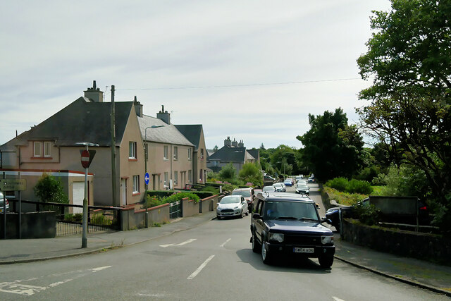
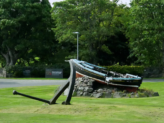
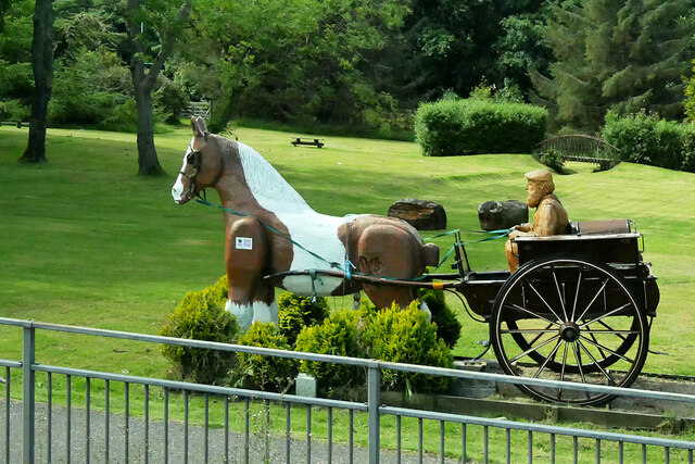
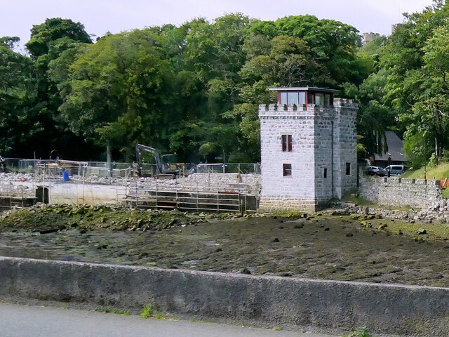
Loch na Feòla Images
Images are sourced within 2km of 58.22229/-6.4053723 or Grid Reference NB4134. Thanks to Geograph Open Source API. All images are credited.


Loch na Feòla is located at Grid Ref: NB4134 (Lat: 58.22229, Lng: -6.4053723)
Unitary Authority: Na h-Eileanan an Iar
Police Authority: Highlands and Islands
What 3 Words
///trickled.tuned.kitchen. Near Stornoway, Na h-Eileanan Siar
Nearby Locations
Related Wikis

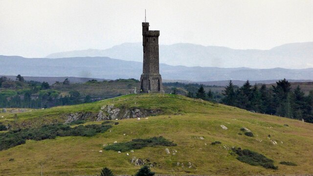
Lewis War Memorial
The Lewis War Memorial is a war memorial dedicated to the men from the Lewis area (Outer Hebrides, Scotland) who lost their lives in World War I and those...

Newvalley, Lewis
Newvalley (Scottish Gaelic: An Gleann Ùr) is a hamlet on the Isle of Lewis in the Outer Hebrides, Scotland. Newvalley is within the parish of Stornoway...

Marybank, Lewis
Marybank (Scottish Gaelic: Bruach Màiri, IPA:[ˈpɾuəxˈmaːɾʲɪ]) is a settlement on the outskirts of Stornoway, Isle of Lewis in the Outer Hebrides of Scotland...

Lews Castle College
UHI North, West, and Hebrides (formerly UHI Outer Hebrides and Lews Castle College) (Scottish Gaelic: Colaisde a' Chaisteil [ˈkʰɔl̪ˠɪʃtʲə ə ˈkʰaʃtʰal]...
Nearby Amenities
Located within 500m of 58.22229,-6.4053723Have you been to Loch na Feòla?
Leave your review of Loch na Feòla below (or comments, questions and feedback).