Cnoc Mhic Mhurchaidh Uilleim
Hill, Mountain in Ross-shire
Scotland
Cnoc Mhic Mhurchaidh Uilleim
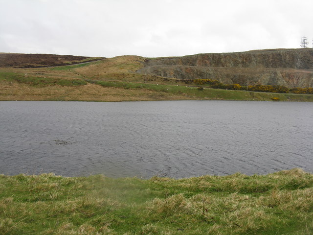
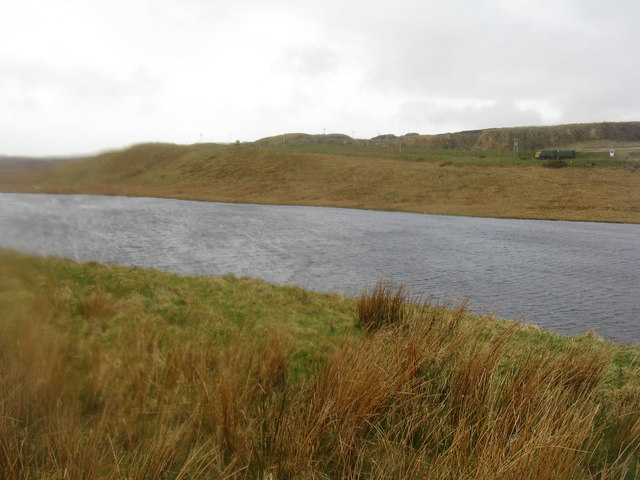
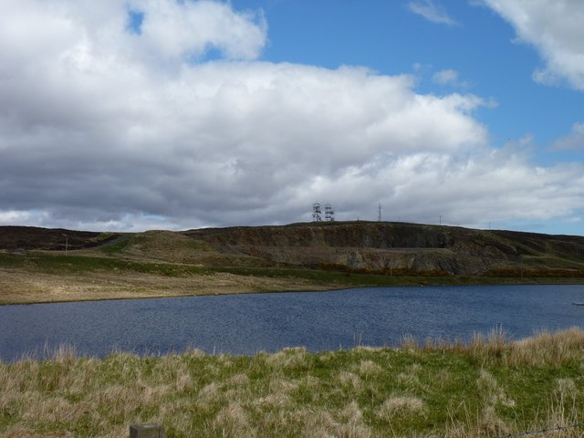
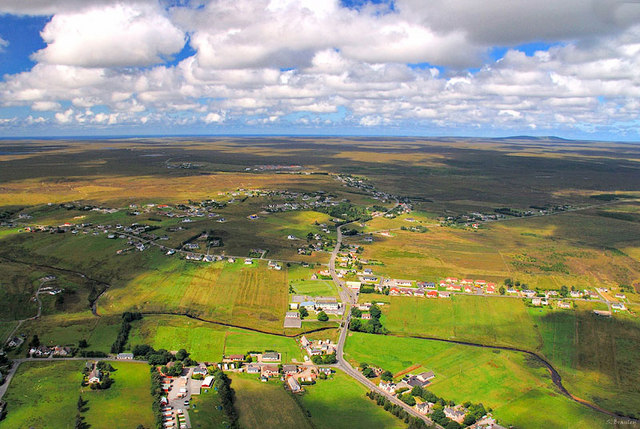
Cnoc Mhic Mhurchaidh Uilleim, also known as Cnoc Mhic Mhurchaidh Uilleim Hill, is a prominent geographical feature in Ross-shire, Scotland. It is located near the village of Garve and stands at an elevation of approximately 546 meters (1,791 feet) above sea level.
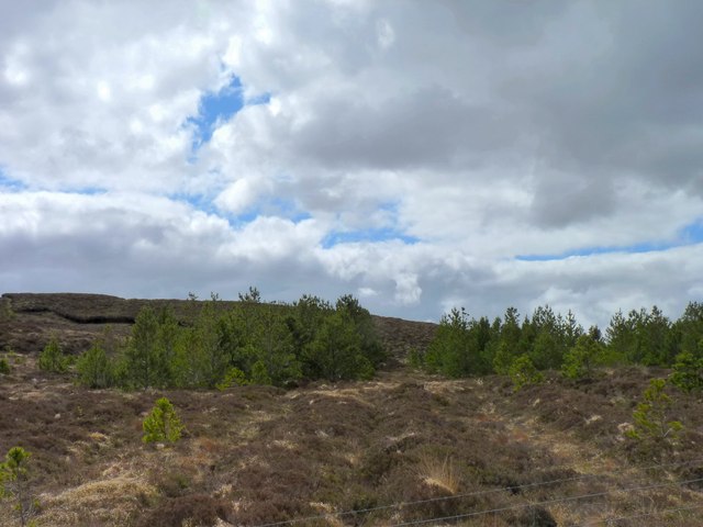
The hill is characterized by its distinctive shape, with a rounded summit and steep slopes covered in heather, grasses, and scattered rocks. Its location offers panoramic views of the surrounding countryside, including the nearby River Blackwater and the towering peaks of the Torridon Mountains to the northwest.
Cnoc Mhic Mhurchaidh Uilleim is popular among hikers and outdoor enthusiasts due to its accessibility and the variety of walking routes available. The hill can be approached from multiple directions, with well-defined paths leading to the summit. These routes vary in difficulty, catering to different levels of fitness and experience.
The hill is also known for its rich natural heritage, with a diverse range of flora and fauna present in the surrounding area. The heather-clad slopes provide habitat for a variety of bird species, including red grouse and skylarks, while occasional sightings of deer and other wildlife are not uncommon.
Overall, Cnoc Mhic Mhurchaidh Uilleim offers a rewarding hiking experience for those wishing to explore the stunning landscapes of Ross-shire. Its accessibility, picturesque views, and natural beauty make it a popular destination for outdoor enthusiasts and nature lovers alike.
If you have any feedback on the listing, please let us know in the comments section below.
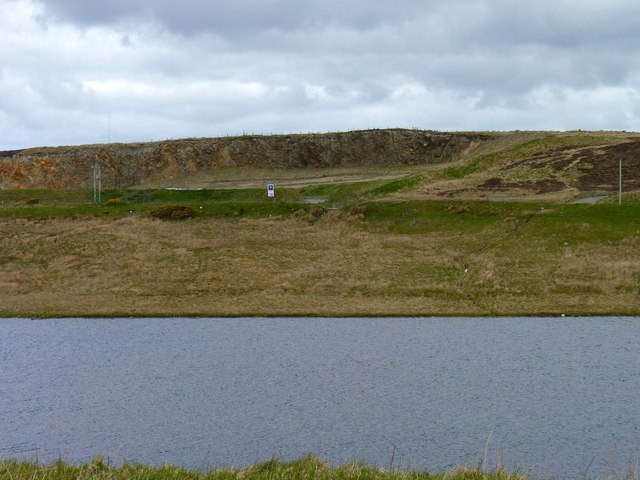
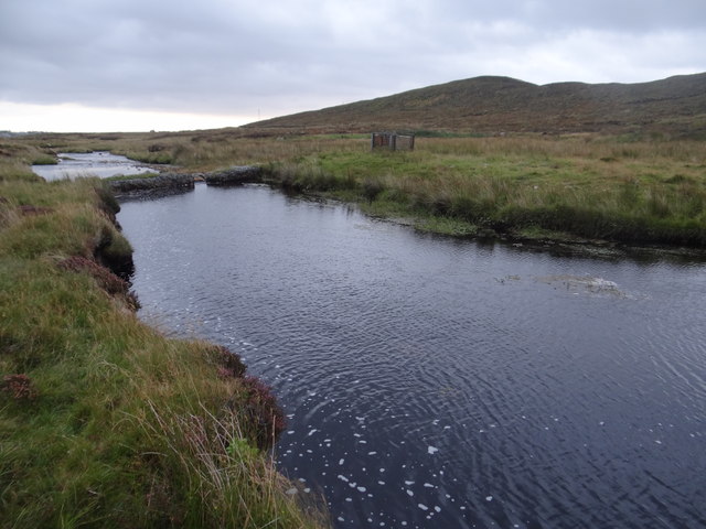
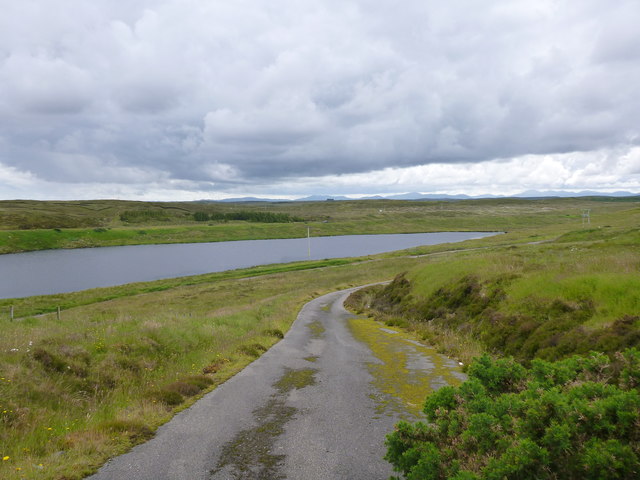
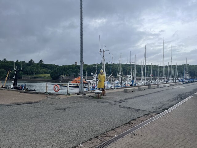
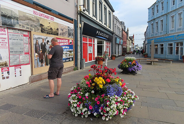
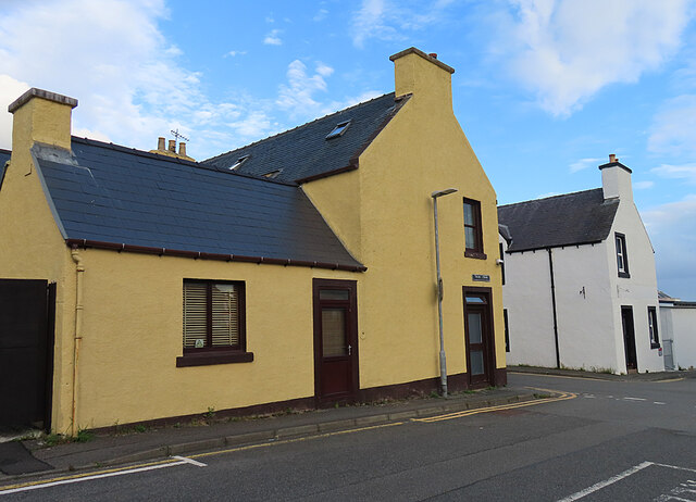
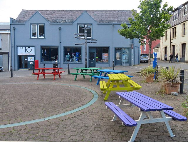
Cnoc Mhic Mhurchaidh Uilleim Images
Images are sourced within 2km of 58.221459/-6.4078089 or Grid Reference NB4134. Thanks to Geograph Open Source API. All images are credited.


Cnoc Mhic Mhurchaidh Uilleim is located at Grid Ref: NB4134 (Lat: 58.221459, Lng: -6.4078089)
Unitary Authority: Na h-Eileanan an Iar
Police Authority: Highlands and Islands
What 3 Words
///wound.glides.loitering. Near Stornoway, Na h-Eileanan Siar
Nearby Locations
Related Wikis

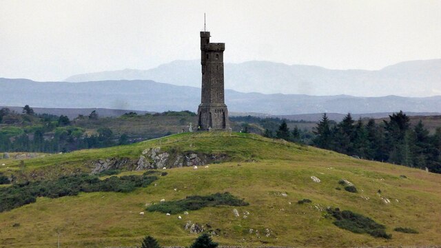
Lewis War Memorial
The Lewis War Memorial is a war memorial dedicated to the men from the Lewis area (Outer Hebrides, Scotland) who lost their lives in World War I and those...

Marybank, Lewis
Marybank (Scottish Gaelic: Bruach Màiri, IPA:[ˈpɾuəxˈmaːɾʲɪ]) is a settlement on the outskirts of Stornoway, Isle of Lewis in the Outer Hebrides of Scotland...

Newvalley, Lewis
Newvalley (Scottish Gaelic: An Gleann Ùr) is a hamlet on the Isle of Lewis in the Outer Hebrides, Scotland. Newvalley is within the parish of Stornoway...

Lews Castle College
UHI North, West, and Hebrides (formerly UHI Outer Hebrides and Lews Castle College (Scottish Gaelic: Colaisde a' Chaisteil [ˈkʰɔl̪ˠɪʃtʲə ə ˈkʰaʃtʰal],...
Laxdale
Laxdale (Scottish Gaelic: Lacasdal) is a village in the Scottish Outer Hebrides, on the Isle of Lewis. Although nominally a distinct village, Laxdale is...

Lews Castle
Lews Castle (Scottish Gaelic: Caisteal Leòdhais) is a Victorian era castle located west of the town of Stornoway, Isle of Lewis, Scotland. It was built...

Western Isles Hospital
The Western Isles Hospital (Scottish Gaelic: Ospadal nan Eilean Siar) is a rural general hospital in Stornoway on Lewis in the Western Isles of Scotland...

Hebridean Celtic Festival
The Hebridean Celtic Festival (Scottish Gaelic: Fèis Cheilteach Innse Gall) or HebCelt is an international Scottish music festival, which takes place annually...
Nearby Amenities
Located within 500m of 58.221459,-6.4078089Have you been to Cnoc Mhic Mhurchaidh Uilleim?
Leave your review of Cnoc Mhic Mhurchaidh Uilleim below (or comments, questions and feedback).