Glac a' Chromain
Valley in Argyllshire
Scotland
Glac a' Chromain

The requested URL returned error: 429 Too Many Requests
If you have any feedback on the listing, please let us know in the comments section below.
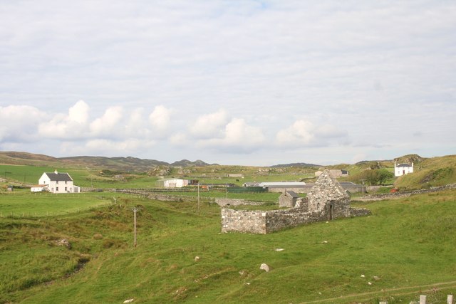
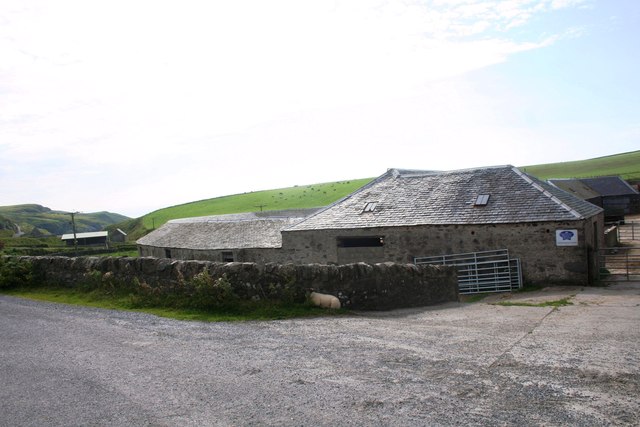
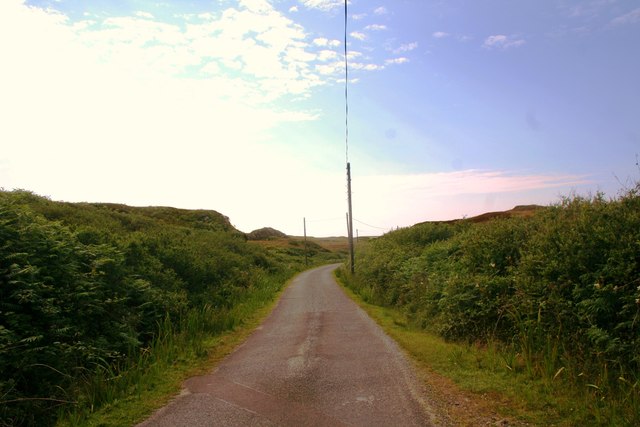
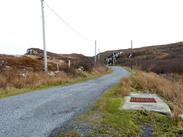
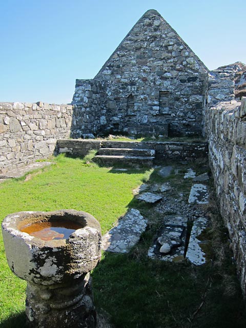
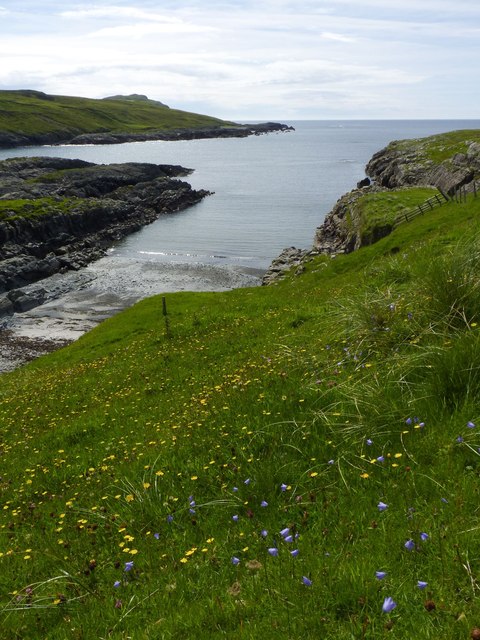
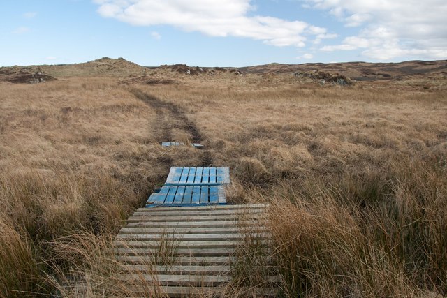
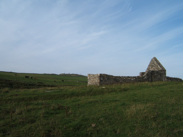
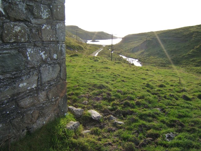
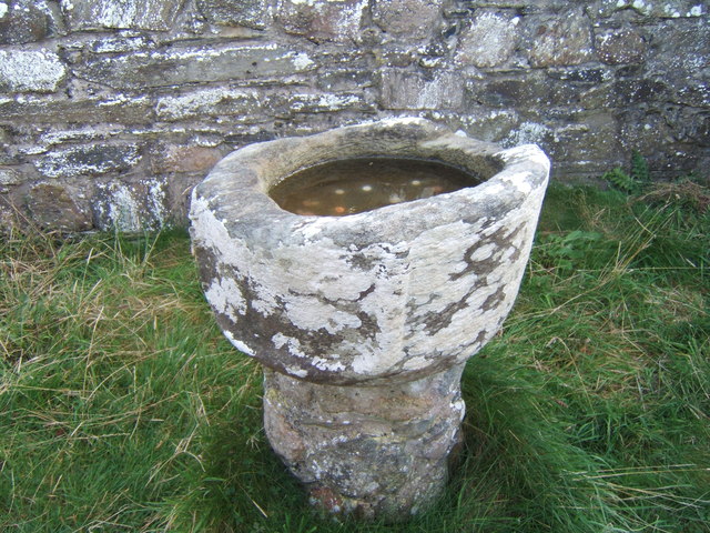
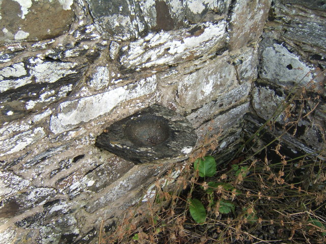
Glac a' Chromain Images
Images are sourced within 2km of 55.743875/-6.449228 or Grid Reference NR2059. Thanks to Geograph Open Source API. All images are credited.


Glac a' Chromain is located at Grid Ref: NR2059 (Lat: 55.743875, Lng: -6.449228)
Unitary Authority: Argyll and Bute
Police Authority: Argyll and West Dunbartonshire
What 3 Words
///prominent.respond.swells. Near Port Charlotte, Argyll & Bute
Related Wikis

Rinns of Islay
The Rinns of Islay (Scottish Gaelic: Na Roinn Ìleach; alternative English spelling Rhinns of Islay) is an area on the west of the island of Islay in the...

RAF Kilchiaran
RAF Kilchiaran was a Royal Air Force radar station situated on the Isle of Islay in Scotland. It was originally active from 1940-1945. In 1954 the base...

Kilchoman
Kilchoman ( kil-(K)HOM-ən; Scottish Gaelic: Cill Chomain [kʲʰiːʎ ˈxɔmɛɲ]) is a small settlement and large parish on the Scottish island of Islay, within...

Nerabus
Nerabus (otherwise Nereabolls) is a hamlet in the west of the isle of Islay in Scotland. The vicinity is noted for its scenic qualities and diverse birdlife...
Related Videos
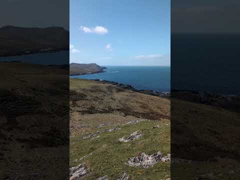
Very blustery views over Machir Bay, Kilchoman beach and Kilchiaran Bay, Isle of Islay
Great views on a blustery but sunny April early afternoon.
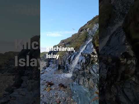
Waterfalls at Kilchiaran, Islay
Some beautiful waterfalls at Kilchiaran on the Rhinns of Islay.
Have you been to Glac a' Chromain?
Leave your review of Glac a' Chromain below (or comments, questions and feedback).