Knook
Settlement in Wiltshire
England
Knook
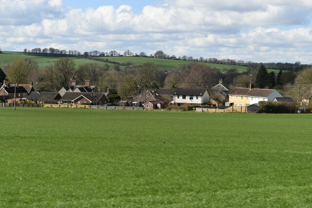
Knook is a small village located in the county of Wiltshire, England. Situated approximately 6 miles southeast of the town of Warminster, Knook is a rural settlement that offers a peaceful and picturesque countryside environment.
The village is surrounded by beautiful green fields and farmland, which contributes to its tranquil atmosphere. It has a small population of around 200 residents, resulting in a close-knit community that prides itself on its friendly and welcoming nature.
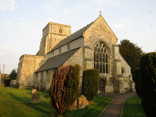
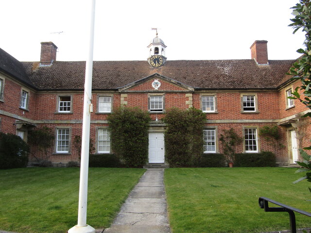
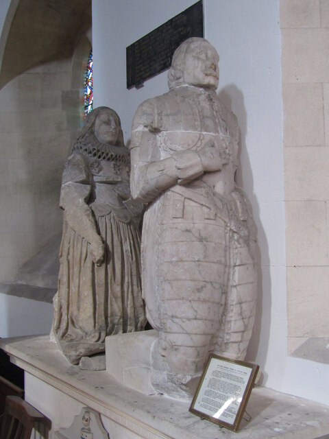
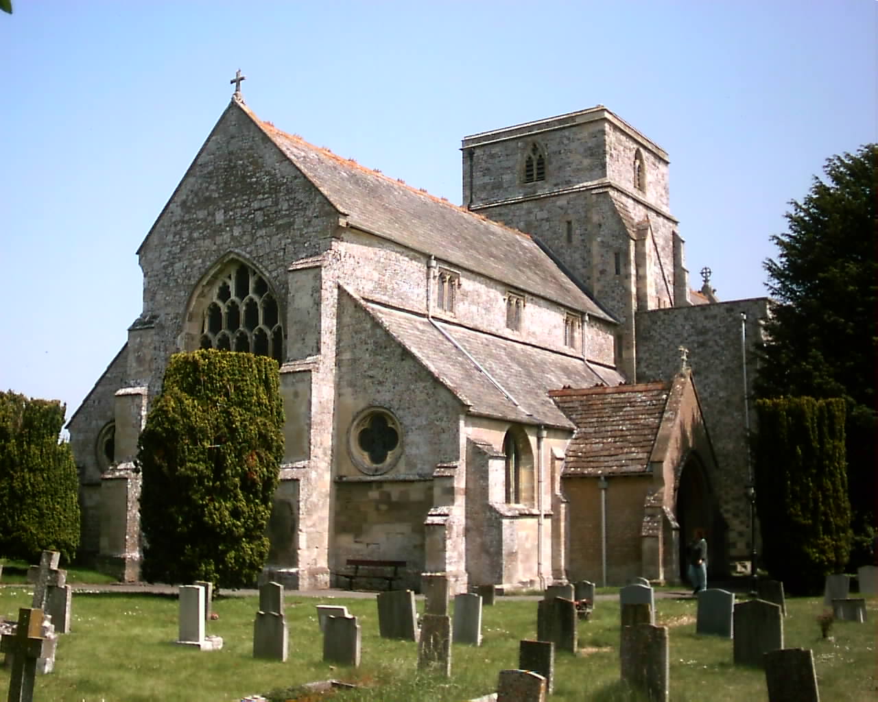
Knook is known for its historical significance, with evidence of human settlement in the area dating back to the Roman period. The village is home to several well-preserved historic buildings, including a 13th-century church, St. Margaret of Antioch, which is a prominent landmark in the area.
The village lacks major amenities, such as shops and schools, but it benefits from its proximity to nearby towns and villages that offer a wider range of services. Additionally, Knook is conveniently located near major road networks, making it easily accessible by car.
The surrounding countryside provides ample opportunities for outdoor activities, such as walking, cycling, and horseback riding. The village is also within close proximity to popular tourist attractions, including the ancient monument of Stonehenge and the stunning Longleat Safari Park.
Overall, Knook is a charming and idyllic village, perfect for those seeking a peaceful and rural lifestyle amidst the beautiful English countryside.
If you have any feedback on the listing, please let us know in the comments section below.
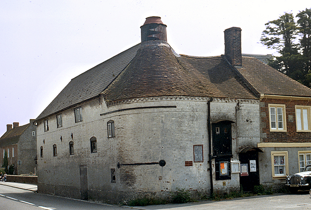
Knook Images
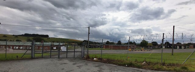
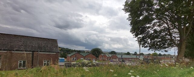
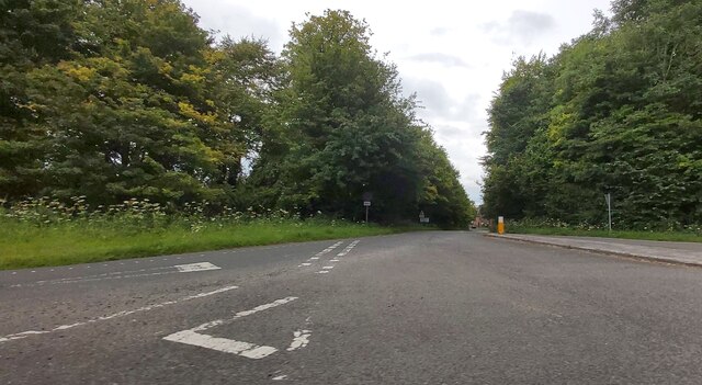
Images are sourced within 2km of 51.175867/-2.090664 or Grid Reference ST9341. Thanks to Geograph Open Source API. All images are credited.

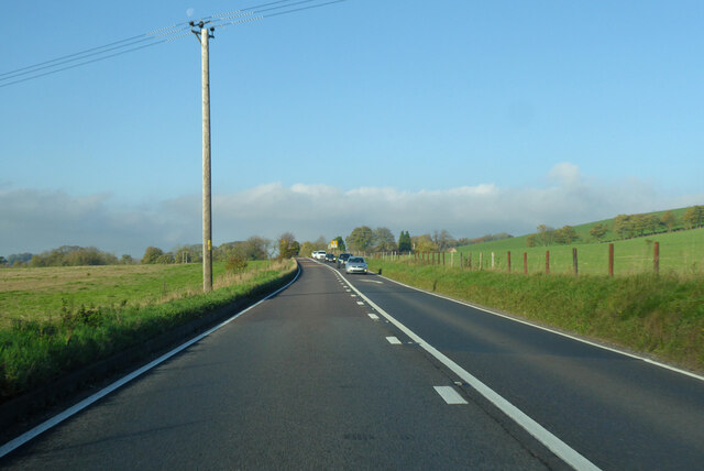
![Corton village [1] A fine length of thatched cob wall at the Dove Inn car park.
Corton is a small village in the Wylye Valley, Wiltshire, about 5 miles southeast of Warminster and 14¼ miles northwest of Salisbury. There is much evidence of ancient settlement in the area, including Corton Long Barrow on Barrow Hill, southwest of the village. Most working residents in the village commute.](https://s1.geograph.org.uk/geophotos/07/34/49/7344917_7b95e644.jpg)
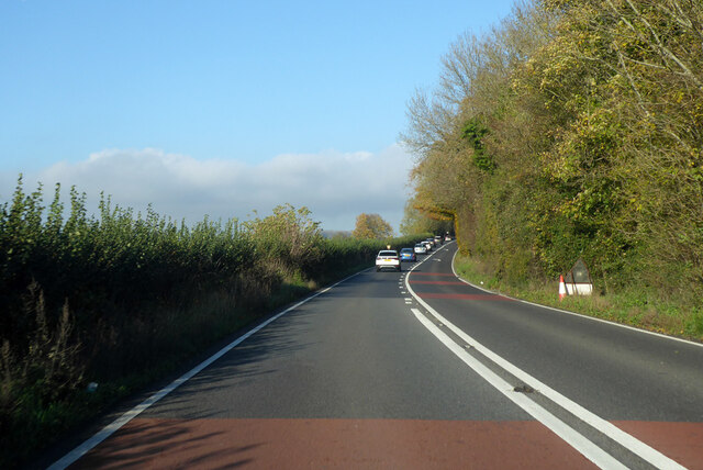
![Corton village [2] This path to Heytesbury leaves the road opposite the cemetery.
Corton is a small village in the Wylye Valley, Wiltshire, about 5 miles southeast of Warminster and 14¼ miles northwest of Salisbury. There is much evidence of ancient settlement in the area, including Corton Long Barrow on Barrow Hill, southwest of the village. Most working residents in the village commute.](https://s2.geograph.org.uk/geophotos/07/34/49/7344918_d35452cc.jpg)
![Corton village [3] Corton cemetery is somewhat neglected.
Corton is a small village in the Wylye Valley, Wiltshire, about 5 miles southeast of Warminster and 14¼ miles northwest of Salisbury. There is much evidence of ancient settlement in the area, including Corton Long Barrow on Barrow Hill, southwest of the village. Most working residents in the village commute.](https://s3.geograph.org.uk/geophotos/07/34/49/7344919_7c4088ae.jpg)
Knook is located at Grid Ref: ST9341 (Lat: 51.175867, Lng: -2.090664)
Unitary Authority: Wiltshire
Police Authority: Wiltshire
What 3 Words
///outdone.jobs.tentacles. Near Boyton, Wiltshire
Nearby Locations
Related Wikis
Knook
Knook is a small village and civil parish in Wiltshire, England. The village lies to the north of the River Wylye at the edge of Salisbury Plain, about...

Upton Lovell
Upton Lovell is a village and civil parish in Wiltshire, England. It lies on the A36, in the Wylye valley about 5 miles (8.0 km) southeast of Warminster...
Church of St Peter and St Paul, Heytesbury
The Church of St Peter and St Paul, Heytesbury is the Church of England parish church for the parish of Heytesbury with Tytherington and Knook, Wiltshire...

Heytesbury railway station
Heytesbury railway station is a former railway station near Heytesbury, Wiltshire, England, in the Wylye Valley, about three miles south of Warminster...
Heytesbury
Heytesbury is a village (formerly considered to be a town) and a civil parish in Wiltshire, England. The village lies on the north bank of the Wylye, about...

Tytherington, Wiltshire
Tytherington is a small village in Wiltshire, in the southwest of England. It lies on the south side of the Wylye valley, about 3+1⁄2 miles (6 km) southeast...

Codford railway station
Codford railway station was an intermediate station on the Salisbury branch line of the Great Western Railway built along the Wylye valley to connect Warminster...
Boyton, Wiltshire
Boyton is a village and civil parish in Wiltshire, England. It lies in the Wylye Valley within Salisbury Plain, about 6 miles (10 km) south-east of Warminster...
Nearby Amenities
Located within 500m of 51.175867,-2.090664Have you been to Knook?
Leave your review of Knook below (or comments, questions and feedback).