Knook Manor
Heritage Site in Wiltshire
England
Knook Manor

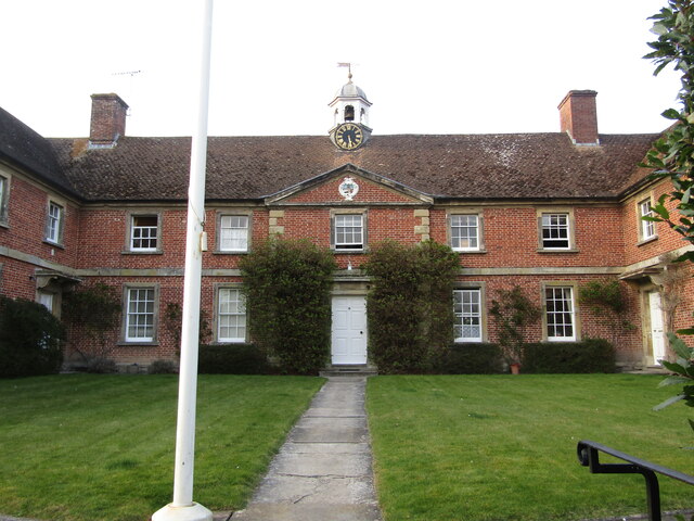
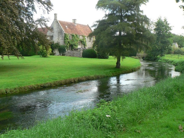
Knook Manor, located in the picturesque county of Wiltshire, England, is a historic heritage site that dates back to the 16th century. This magnificent manor house is nestled amidst sprawling countryside, offering visitors a glimpse into the region's rich architectural and cultural past.
Originally built in the Tudor style, Knook Manor has undergone several renovations and additions over the centuries, resulting in its current form as an exquisite example of Jacobean architecture. The manor's grand façade features a combination of red brick and limestone, adorned with intricate detailing and elegant mullioned windows.
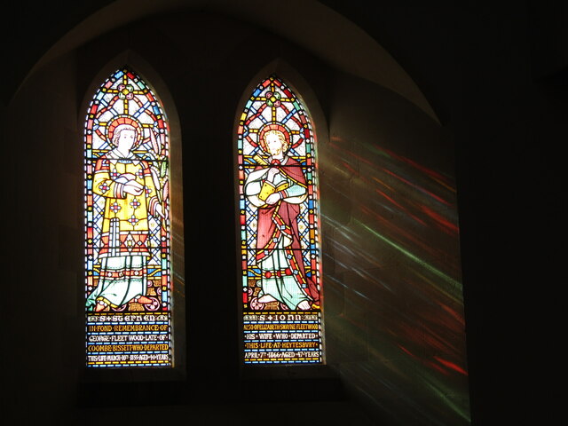
Stepping inside Knook Manor is like stepping back in time. The interior boasts opulent rooms, each showcasing period furniture, ornate fireplaces, and beautifully crafted woodwork. The Great Hall, with its high ceilings and impressive oak beams, is a standout feature of the manor. Visitors can also explore the chapel, which retains its original stained glass windows and exudes a serene atmosphere.
The surrounding grounds of Knook Manor are equally captivating. The extensive gardens, meticulously maintained, display a variety of plants and flowers, offering a tranquil setting for leisurely strolls. The manor is also surrounded by lush green meadows and ancient woodlands, providing breathtaking views of the Wiltshire countryside.
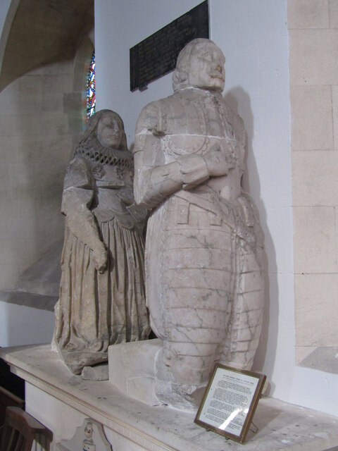
Knook Manor is not only a visual delight but also a place of historical significance. It has been home to notable families throughout its existence and has witnessed significant events in English history. Today, it stands as a testament to the architectural prowess of the past and serves as a popular attraction for history enthusiasts and visitors seeking a taste of old-world charm.
If you have any feedback on the listing, please let us know in the comments section below.
Knook Manor Images
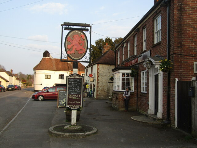
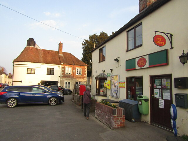
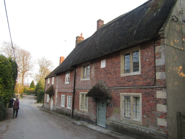
Images are sourced within 2km of 51.172/-2.093 or Grid Reference ST9341. Thanks to Geograph Open Source API. All images are credited.
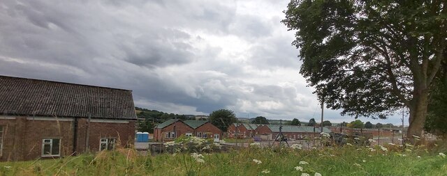
![Corton village [1] A fine length of thatched cob wall at the Dove Inn car park.
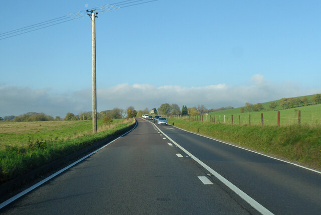
Corton is a small village in the Wylye Valley, Wiltshire, about 5 miles southeast of Warminster and 14¼ miles northwest of Salisbury. There is much evidence of ancient settlement in the area, including Corton Long Barrow on Barrow Hill, southwest of the village. Most working residents in the village commute.](https://s1.geograph.org.uk/geophotos/07/34/49/7344917_7b95e644.jpg)
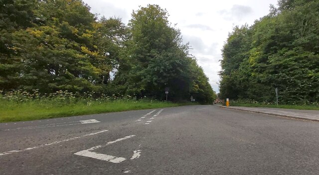
![Corton village [2] This path to Heytesbury leaves the road opposite the cemetery.
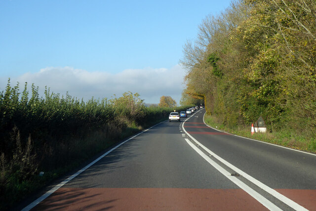
Corton is a small village in the Wylye Valley, Wiltshire, about 5 miles southeast of Warminster and 14¼ miles northwest of Salisbury. There is much evidence of ancient settlement in the area, including Corton Long Barrow on Barrow Hill, southwest of the village. Most working residents in the village commute.](https://s2.geograph.org.uk/geophotos/07/34/49/7344918_d35452cc.jpg)
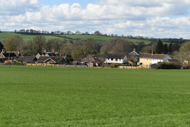
![Corton village [3] Corton cemetery is somewhat neglected.
Corton is a small village in the Wylye Valley, Wiltshire, about 5 miles southeast of Warminster and 14¼ miles northwest of Salisbury. There is much evidence of ancient settlement in the area, including Corton Long Barrow on Barrow Hill, southwest of the village. Most working residents in the village commute.](https://s3.geograph.org.uk/geophotos/07/34/49/7344919_7c4088ae.jpg)
Knook Manor is located at Grid Ref: ST9341 (Lat: 51.172, Lng: -2.093)
Unitary Authority: Wiltshire
Police Authority: Wiltshire
What 3 Words
///mailings.digesting.youths. Near Boyton, Wiltshire
Nearby Locations
Related Wikis
Knook
Knook is a small village and civil parish in Wiltshire, England. The village lies to the north of the River Wylye at the edge of Salisbury Plain, about...

Upton Lovell
Upton Lovell is a village and civil parish in Wiltshire, England. It lies on the A36, in the Wylye valley about 5 miles (8.0 km) southeast of Warminster...

Heytesbury railway station
Heytesbury railway station is a former railway station near Heytesbury, Wiltshire, England, in the Wylye Valley, about three miles south of Warminster...
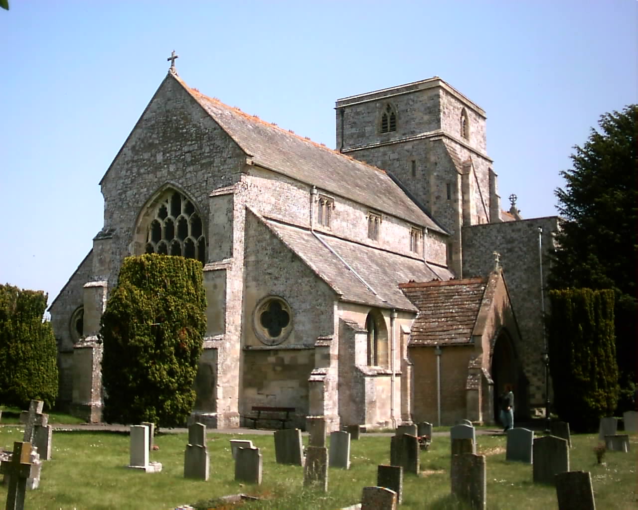
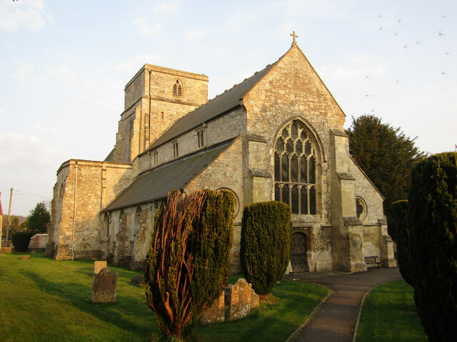
Church of St Peter and St Paul, Heytesbury
The Church of St Peter and St Paul, Heytesbury is the Church of England parish church for the parish of Heytesbury with Tytherington and Knook, Wiltshire...
Nearby Amenities
Located within 500m of 51.172,-2.093Have you been to Knook Manor?
Leave your review of Knook Manor below (or comments, questions and feedback).