Knook Castle

Heritage Site in Wiltshire

England

Knook Castle

Roofed Building marked as a Reservoir on the map
Roofed Building marked as a Reservoir on the map Credit: Anthony Parkes

Knook Castle, located in Wiltshire, England, is a historical site that holds great significance in the region. The castle, also known as Cnuc or Knoke Castle, is an ancient motte and bailey castle which dates back to the 11th century. It is situated on a natural mound in the small village of Knook, near the town of Warminster.

The castle was originally built as a defensive structure by the Normans, following the Norman Conquest of England in 1066. The motte, or mound, was constructed using earth and stone, and it was topped with a wooden tower or keep. The bailey, a surrounding enclosure, provided additional protection and housed various buildings such as stables and living quarters.

Throughout its history, Knook Castle played a significant role in the defense of the area, especially during times of conflict such as the Anarchy, a civil war in the 12th century. However, by the 14th century, the castle had fallen into disuse and was abandoned. Today, only the earthworks of the motte and bailey remain, as the wooden structures have long since decayed.

Knook Castle is now recognized as a scheduled ancient monument and is protected by law. It attracts visitors who are interested in exploring its historical significance and experiencing the sense of the past that it offers. The site provides a glimpse into the architectural and military strategies of the Normans, and its location also offers scenic views of the surrounding countryside.

If you have any feedback on the listing, please let us know in the comments section below.
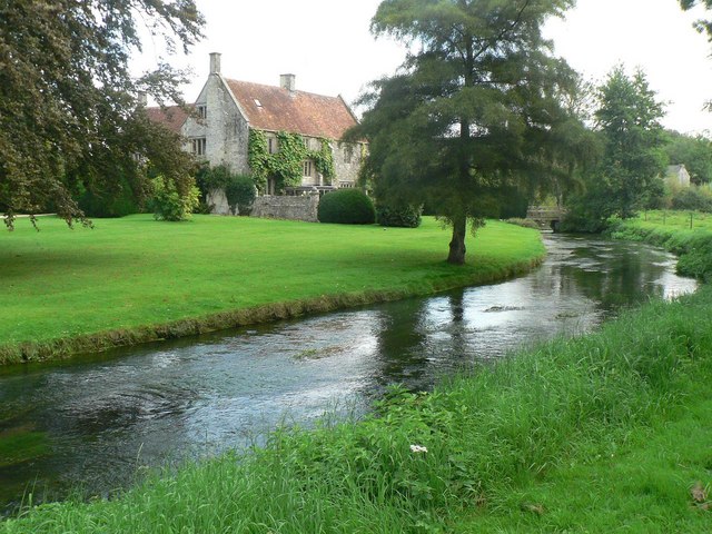
Knook Castle Images

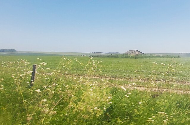
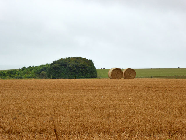
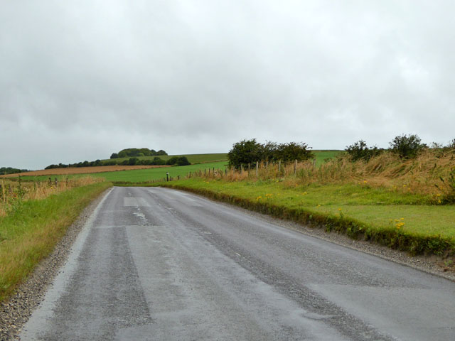
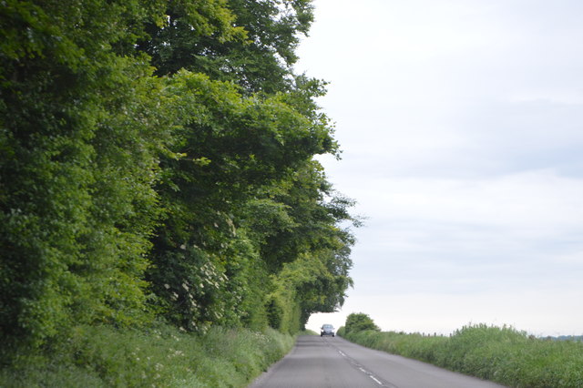
Images are sourced within 2km of 51.19/-2.05 or Grid Reference ST9643. Thanks to Geograph Open Source API. All images are credited.

Roofed Building marked as a Reservoir on the map
Straw bales South of the B390.
Straw bales
South of the B390.
B390 west of Chitterne Heading towards Heytesbury.
B390 west of Chitterne
Heading towards Heytesbury.
B390, westbound The B390 runs 8 miles across Salisbury Plain from Heytesbury to Shrewton.
<span class="nowrap"><a title="http://www.sabre-roads.org.uk/wiki/index.php?title=B390" rel="nofollow ugc noopener" href="http://www.sabre-roads.org.uk/wiki/index.php?title=B390">Link</a><img style="margin-left:2px;" alt="External link" title="External link - shift click to open in new window" src="https://s1.geograph.org.uk/img/external.png" width="10" height="10"/></span>
B390, westbound
The B390 runs 8 miles across Salisbury Plain from Heytesbury to Shrewton. LinkExternal link
B390 The B390 runs 8 miles across Salisbury Plain from Heytesbury to Shrewton.
<span class="nowrap"><a title="http://www.sabre-roads.org.uk/wiki/index.php?title=B390" rel="nofollow ugc noopener" href="http://www.sabre-roads.org.uk/wiki/index.php?title=B390">Link</a><img style="margin-left:2px;" alt="External link" title="External link - shift click to open in new window" src="https://s1.geograph.org.uk/img/external.png" width="10" height="10"/></span>
B390
The B390 runs 8 miles across Salisbury Plain from Heytesbury to Shrewton. LinkExternal link
Ansty Hill The B390 runs 8 miles across Salisbury Plain from Heytesbury to Shrewton.
<span class="nowrap"><a title="http://www.sabre-roads.org.uk/wiki/index.php?title=B390" rel="nofollow ugc noopener" href="http://www.sabre-roads.org.uk/wiki/index.php?title=B390">Link</a><img style="margin-left:2px;" alt="External link" title="External link - shift click to open in new window" src="https://s1.geograph.org.uk/img/external.png" width="10" height="10"/></span>
Ansty Hill
The B390 runs 8 miles across Salisbury Plain from Heytesbury to Shrewton. LinkExternal link
B390 The B390 runs 8 miles across Salisbury Plain from Heytesbury to Shrewton.
<span class="nowrap"><a title="http://www.sabre-roads.org.uk/wiki/index.php?title=B390" rel="nofollow ugc noopener" href="http://www.sabre-roads.org.uk/wiki/index.php?title=B390">Link</a><img style="margin-left:2px;" alt="External link" title="External link - shift click to open in new window" src="https://s1.geograph.org.uk/img/external.png" width="10" height="10"/></span>
B390
The B390 runs 8 miles across Salisbury Plain from Heytesbury to Shrewton. LinkExternal link
Old Milestone by the B390, Ansty Hill, west of Chitterne Carved stone post by the B390, in parish of UPTON LOVELL (WEST WILTSHIRE District), Ansty Hill, top of hill, 100m East of line of trees on verge, on South side of road. Amesbury stone, erected by the Amesbury turnpike trust in the 18th century. 

Inscription reads:-
(??)
Mil(es) fr(om)
L(ON)DON
XIII
from
Amesbury  
Carved benchmark lower right side.

Grade II listed. List Entry Number: 1181815
<span class="nowrap"><a title="https://historicengland.org.uk/listing/the-list/list-entry/1181815" rel="nofollow ugc noopener" href="https://historicengland.org.uk/listing/the-list/list-entry/1181815">Link</a><img style="margin-left:2px;" alt="External link" title="External link - shift click to open in new window" src="https://s1.geograph.org.uk/img/external.png" width="10" height="10"/></span>

Milestone Society National ID: WI_AMHE13.
Old Milestone by the B390, Ansty Hill, west of Chitterne
Carved stone post by the B390, in parish of UPTON LOVELL (WEST WILTSHIRE District), Ansty Hill, top of hill, 100m East of line of trees on verge, on South side of road. Amesbury stone, erected by the Amesbury turnpike trust in the 18th century. Inscription reads:- (??) Mil(es) fr(om) L(ON)DON XIII from Amesbury Carved benchmark lower right side. Grade II listed. List Entry Number: 1181815 LinkExternal link Milestone Society National ID: WI_AMHE13.
Old Milestone by the B390, west of Chitterne, Codford Parish Carved stone post by the B390, in parish of CODFORD (WEST WILTSHIRE District), Codford Down; 100m West of farm track, on the verge, on South side of road. Amesbury stone, erected by the Amesbury turnpike trust in the 19th century. 

Inscription reads:-
XC
Miles from
LONDON
XII From
Am(e)sbury
T 
Carved benchmark front middle under legend.

Grade II listed. List Entry Number: 1364316
<span class="nowrap"><a title="https://historicengland.org.uk/listing/the-list/list-entry/1364316" rel="nofollow ugc noopener" href="https://historicengland.org.uk/listing/the-list/list-entry/1364316">Link</a><img style="margin-left:2px;" alt="External link" title="External link - shift click to open in new window" src="https://s1.geograph.org.uk/img/external.png" width="10" height="10"/></span>

Milestone Society National ID: WI_AMHE12.
Old Milestone by the B390, west of Chitterne, Codford Parish
Carved stone post by the B390, in parish of CODFORD (WEST WILTSHIRE District), Codford Down; 100m West of farm track, on the verge, on South side of road. Amesbury stone, erected by the Amesbury turnpike trust in the 19th century. Inscription reads:- XC Miles from LONDON XII From Am(e)sbury T Carved benchmark front middle under legend. Grade II listed. List Entry Number: 1364316 LinkExternal link Milestone Society National ID: WI_AMHE12.
Knook Down, Wiltshire Looking from Knook Down in the direction of the village of Knook.
Knook Down, Wiltshire
Looking from Knook Down in the direction of the village of Knook.
Knook Down, Wiltshire Over looking Knook Down from Knook Castle Settlement.
Knook Down, Wiltshire
Over looking Knook Down from Knook Castle Settlement.
Codford Down, Wiltshire Looking across farmland from Codford Down in the direction of Knook Down.
Codford Down, Wiltshire
Looking across farmland from Codford Down in the direction of Knook Down.
Knook Down, Wiltshire Knook Down from the Imber Range Perimeter Path on a frosty morning.
Knook Down, Wiltshire
Knook Down from the Imber Range Perimeter Path on a frosty morning.
Breakheart Bottom, Wiltshire Looking north from Breakheart Bottom over Salisbury Plain Training Area.
Breakheart Bottom, Wiltshire
Looking north from Breakheart Bottom over Salisbury Plain Training Area.
Breakheart Bottom, Wiltshire Looking south over the ridges of Castle Barrow Settlements from Breakheart Bottom.
Breakheart Bottom, Wiltshire
Looking south over the ridges of Castle Barrow Settlements from Breakheart Bottom.
Knook Barrow, Wiltshire Looking southwest down a re-entrant from the vicinity of Knook Barrow.
Knook Barrow, Wiltshire
Looking southwest down a re-entrant from the vicinity of Knook Barrow.
B390 heading west From Chitterne towards Heytesbury.
B390 heading west
From Chitterne towards Heytesbury.
Show me another place!

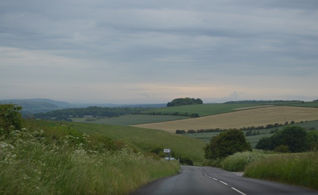
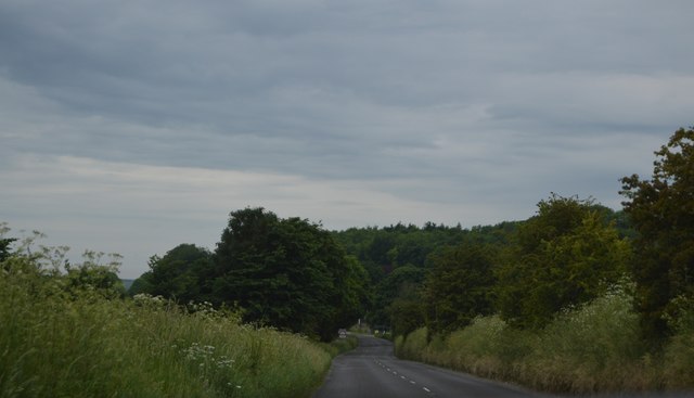
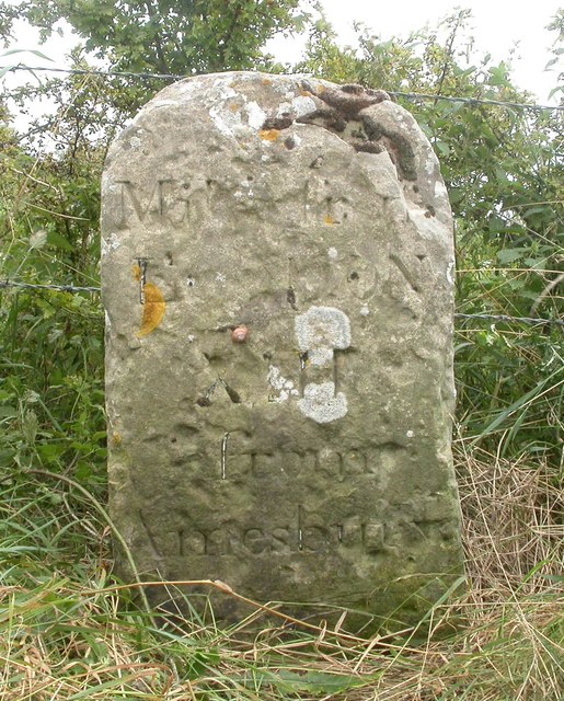
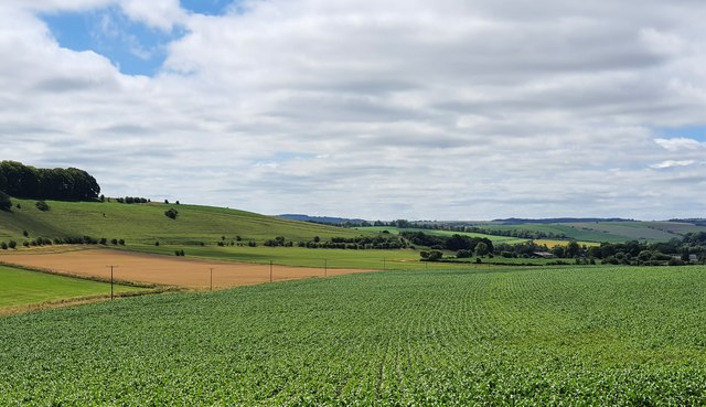
Knook Castle is located at Grid Ref: ST9643 (Lat: 51.19, Lng: -2.05)

Unitary Authority: Wiltshire

Police Authority: Wiltshire

What 3 Words

///jolt.gripes.trumped. Near Codford, Wiltshire

Nearby Locations

Ansty Hill Knook Castle

Related Wikis

Knook Castle

Knook Castle is the site of an Iron Age univallate hillfort on Knook Down, near the village of Knook in Wiltshire, England, but largely within the civil...

Aston Valley Barrow Cemetery

The Aston Valley Barrow Cemetery, or Ashton Valley Barrow Cemetery, is a group of Bronze Age bowl barrow and bell barrow tumuli on the south facing edge...

Chitterne

Chitterne is a village and civil parish in the county of Wiltshire, in the south west of England. The village lies in the middle of Salisbury Plain, about...

Knook

Knook is a small village and civil parish in Wiltshire, England. The village lies to the north of the River Wylye at the edge of Salisbury Plain, about...

Have you been to Knook Castle?

Leave your review of Knook Castle below (or comments, questions and feedback).