Knolton Bryn

Settlement in Flintshire

Wales

Knolton Bryn

Cow path, Goblindale The walk to the milking parlour.
Cow path, Goblindale Credit: Richard Webb

The requested URL returned error: 429 Too Many Requests

If you have any feedback on the listing, please let us know in the comments section below.
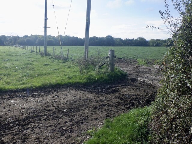
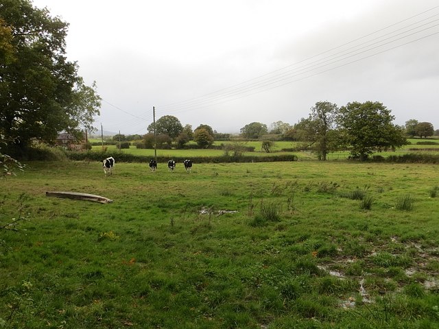
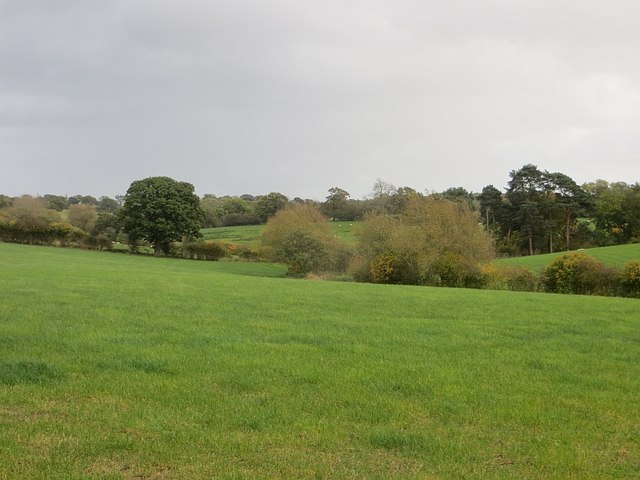
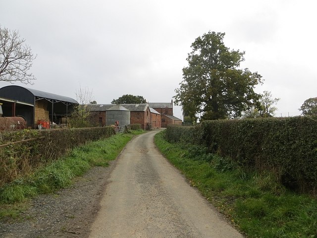
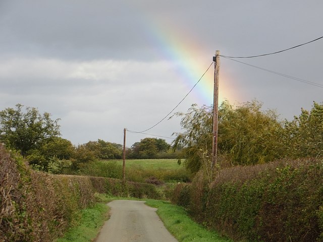
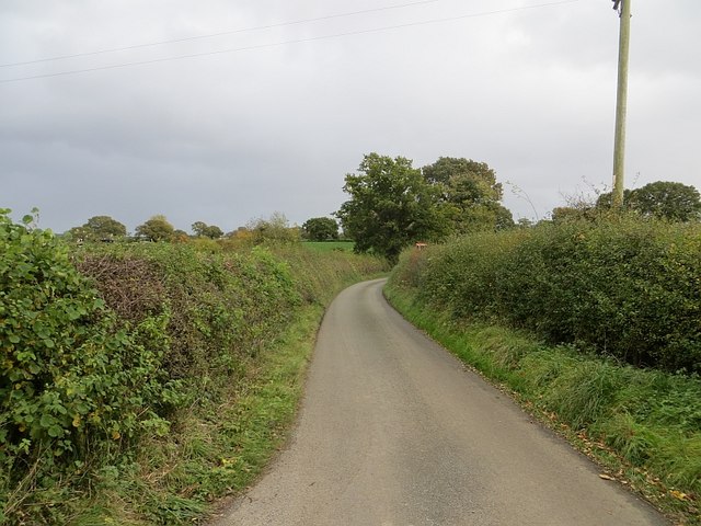
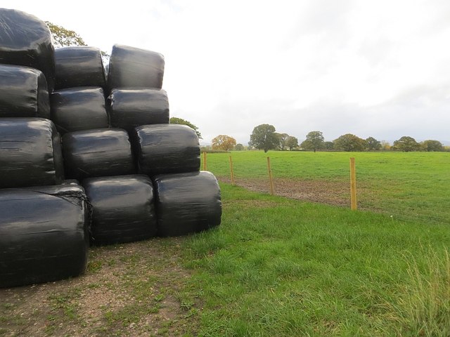
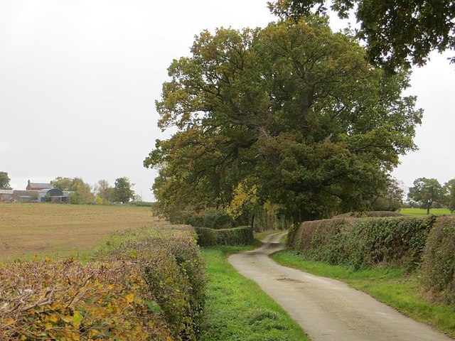
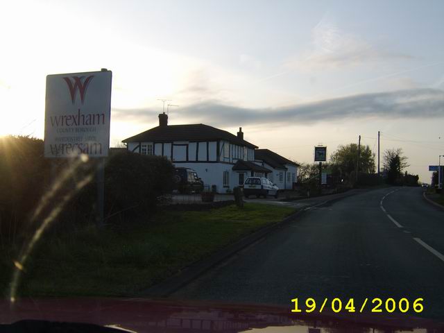
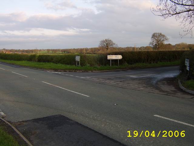
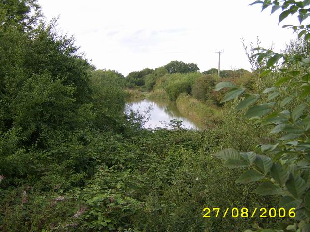
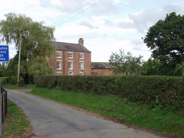
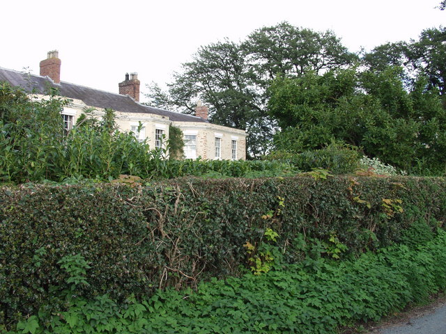
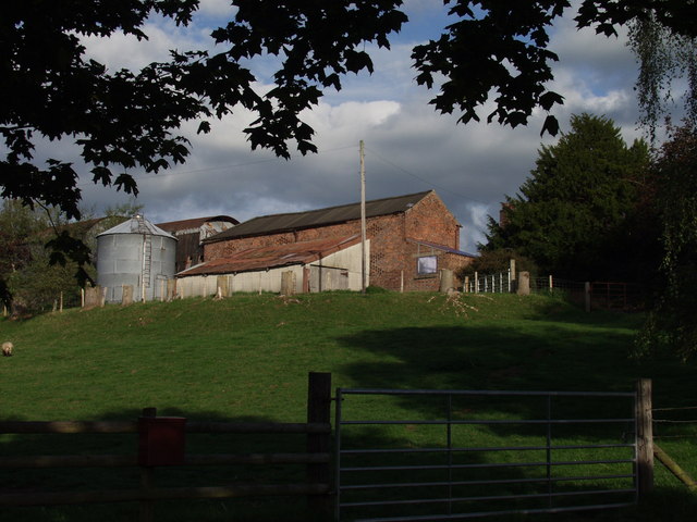
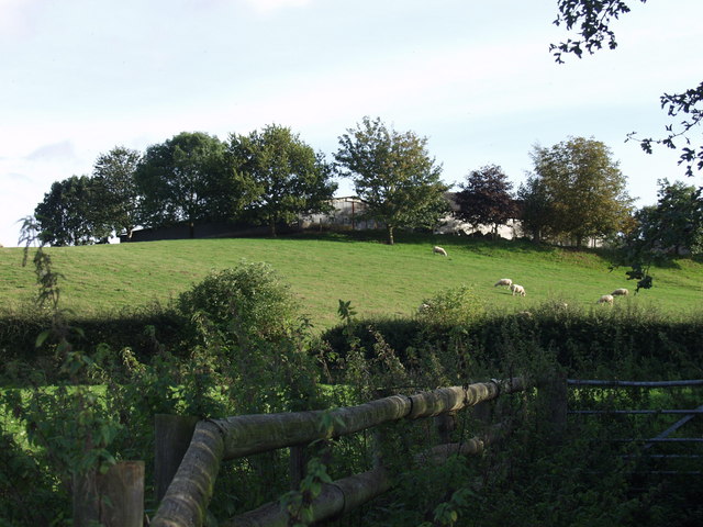
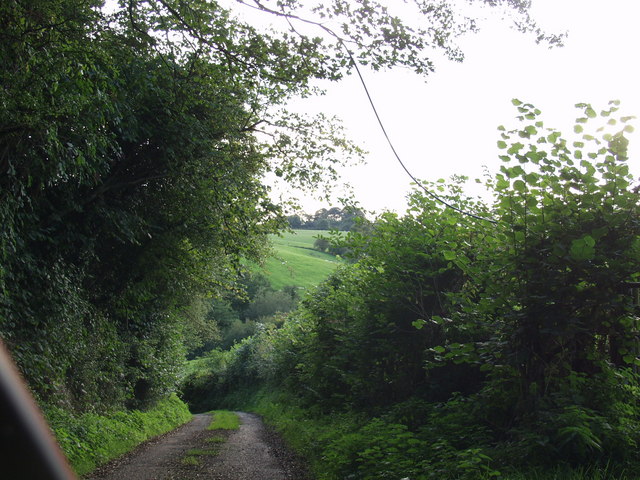
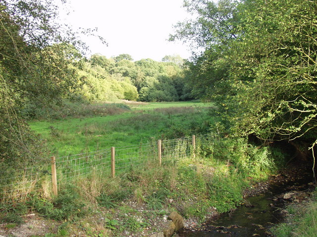
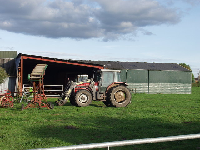
Knolton Bryn Images

Images are sourced within 2km of 52.947812/-2.937592 or Grid Reference SJ3739. Thanks to Geograph Open Source API. All images are credited.

Cow path, Goblindale The walk to the milking parlour.
Cow path, Goblindale
The walk to the milking parlour.
Heifers near Pentre Holsteins investigating, expecting to be fed.
Heifers near Pentre
Holsteins investigating, expecting to be fed.
Grassland, Pentre-coed Dairy farming country.
Grassland, Pentre-coed
Dairy farming country.
Pentre-coed Lane from the north.
Pentre-coed
Lane from the north.
Lane, Pentre-coed Lots of rainbows today.
Lane, Pentre-coed
Lots of rainbows today.
Pentre-coed to Gadlas road Taken quickly, but while stationary outside. The road was busy due to a road closure at Dudleston Heath.
Pentre-coed to Gadlas road
Taken quickly, but while stationary outside. The road was busy due to a road closure at Dudleston Heath.
Silage stash Round bale silage stacked in the corner of a field.
Silage stash
Round bale silage stacked in the corner of a field.
Pentre-coed An oak lined road heading south towards Pentre-coed, Shropshire.
Pentre-coed
An oak lined road heading south towards Pentre-coed, Shropshire.
Crossing The Border Crossing into Wales between Ellesmere And Wrexham, The black and white building is The Trotting Mare Public House
Crossing The Border
Crossing into Wales between Ellesmere And Wrexham, The black and white building is The Trotting Mare Public House
Eastwick Crossroad
Eastwick Crossroad
Disused Railway Route
Pentre Coed A stunning three storey country house, with some attached brick built buildings.
Pentre Coed
A stunning three storey country house, with some attached brick built buildings.
Erway Hall A large country house with views over the surrounding countryside.
Erway Hall
A large country house with views over the surrounding countryside.
Pant Farm A mixed livestock farm with a mix of traditional and newer buildings.
Pant Farm
A mixed livestock farm with a mix of traditional and newer buildings.
Sheep grazing at Pant Farm The north side of the farm has a steeply banked field which is suitable for sheep.
Sheep grazing at Pant Farm
The north side of the farm has a steeply banked field which is suitable for sheep.
Steep lane down to the border Set between high hedges the road descends rapidly to the Shell Brook which is the Wales / England border.
Steep lane down to the border
Set between high hedges the road descends rapidly to the Shell Brook which is the Wales / England border.
Borderland grazings near Pentre Farm The grazing next to the Shell Brook which would be designated as "flood plain" - small but important.
Borderland grazings near Pentre Farm
The grazing next to the Shell Brook which would be designated as "flood plain" - small but important.
Buildings at  Rhewl Farm Relatively modern buildings at the back of this mixed livestock farm.
Buildings at Rhewl Farm
Relatively modern buildings at the back of this mixed livestock farm.
Show me another place!

Knolton Bryn is located at Grid Ref: SJ3739 (Lat: 52.947812, Lng: -2.937592)

Unitary Authority: Wrexham

Police Authority: North Wales

What 3 Words

///animates.lamps.bachelor. Near Overton, Wrexham

Nearby Locations

Knolton Bryn Bryn Wood

Related Wikis

Knolton

Knolton () is a hamlet in Wrexham County Borough, Wales, close to the border with Shropshire, England. It is in Overton parish, and is 5½ miles ENE of...

Trench Halt railway station

Trench Halt railway station was a station to the northwest of Dudleston Heath, Shropshire, England. The station was opened in 1914 and closed in 1962....

Shellbrook Hill

Shellbrook Hill is a grade II listed house in Ellesmere Rural, Shropshire, England, less than a quarter of a mile from part of the Wales border. The house...

Overton-on-Dee railway station

Overton-on-Dee railway station was a station to the southeast of Overton-on-Dee, Wrexham, Wales at Lightwood Green. The station was opened on 2 November...

Nearby Amenities

Located within 500m of 52.947812,-2.937592
Knolton Bryn
Name Cy: Knolton Bryn
Name En: Knolton Bryn
Place: hamlet
Wikidata: Q107032600
Lat/Long: 52.9471906/-2.9375264
Place: farm
Lat/Long: 52.9517664/-2.9406461
Building: yes
Lat/Long: 52.9510425/-2.9418048
Place: farm
Lat/Long: 52.9484745/-2.9303571
The data included in this document is from www.openstreetmap.org. The data is made available under ODbL.

Have you been to Knolton Bryn?

Leave your review of Knolton Bryn below (or comments, questions and feedback).